Pros & cons
PROS
- Remote, crowd-free fjord scenery and true wilderness feel
- Classic exposures of Glacier Bay Formation that document Holocene glacier change
CONS
- No facilities or services of any kind
- Challenging access and conditions; bears and rapidly changing weather
Overview
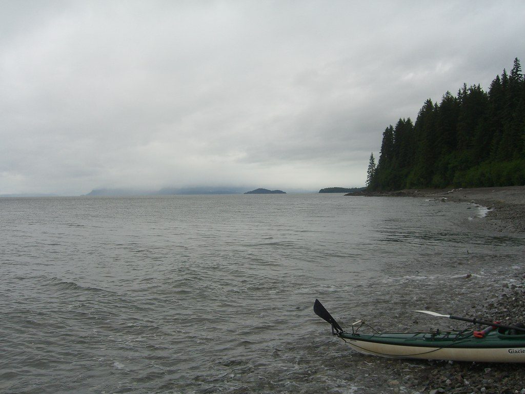
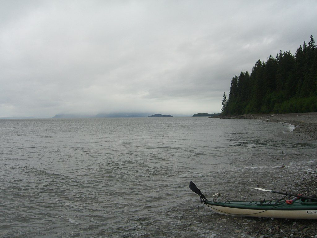
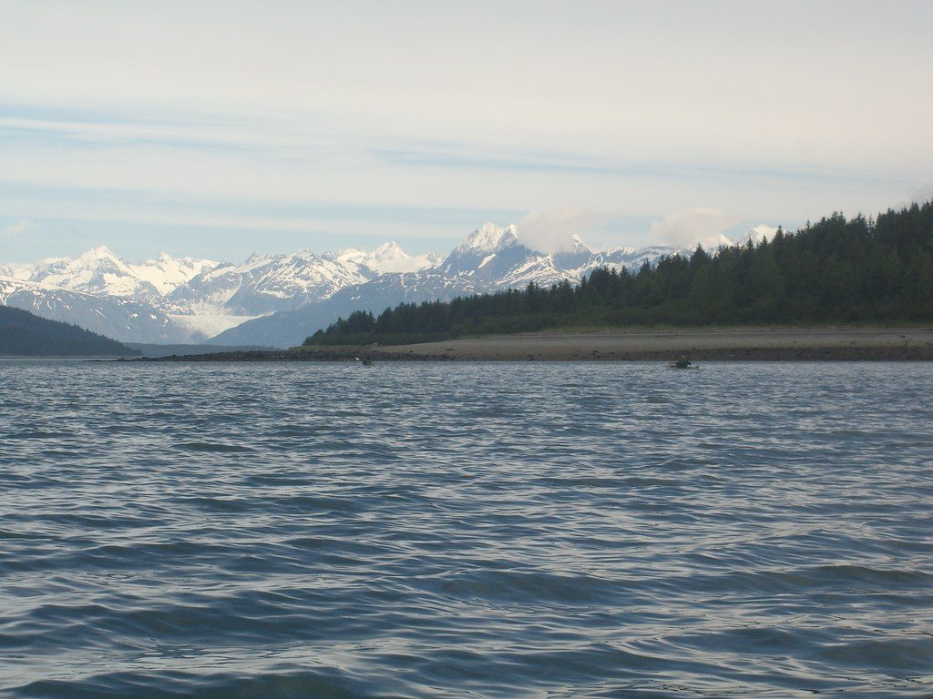
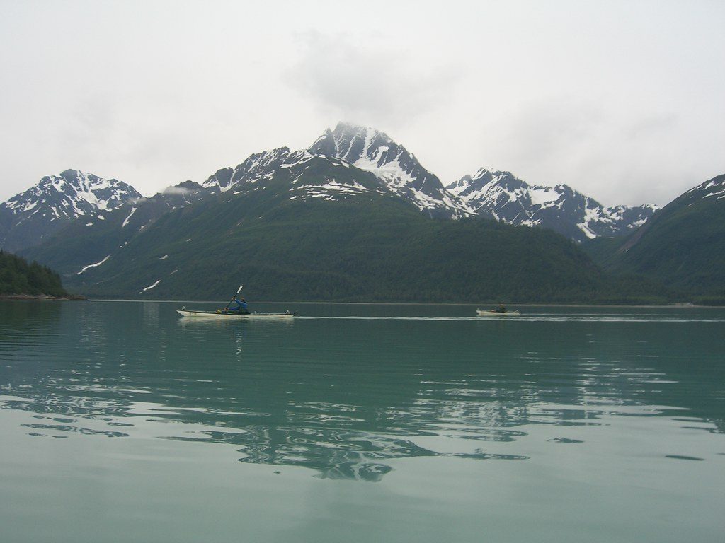
Adams Inlet is a secluded, steep-walled side arm off the East Arm of the bay—a wild, fjord-like place carved by ice and left wonderfully undeveloped. If you crave solitude and big glacial scenery without the tour-boat bustle, this is where the park feels vast and personal.
What You’ll See
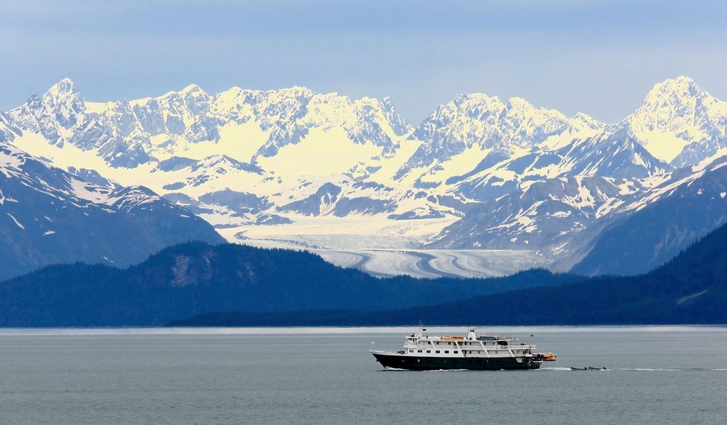
- Steep, glacially carved terrain framing a broad inlet with sweeping water-and-mountain vistas.
- Textbook glacial deposits—fine lake beds, glaciofluvial sands and gravels, and raw till—exposed in places and collectively known as the Glacier Bay Formation, a key record of Holocene advances and retreats.
- A landscape that still feels in motion: moraines and sediments that tell the story of relatively recent glacier change.
Access & What to Expect
This is backcountry reached by water. Large tour boats don’t typically stop here; visitors who make it in come by smaller vessels or kayaks and camp primitively on shore. There are no services, no designated campsites, no toilets—nothing but shoreline and weather. Navigation can be tricky in poor visibility, and the inlet’s wild character means you need to be fully self-sufficient.
Wildlife & Safety
Brown bears are common in the East Arm region, so treat all shorelines and camps as active bear country. Practice strict food storage, keep clean camps, and give wildlife space. Expect maritime weather that can flip from calm to cold, wet, and windy fast; plan and gear up accordingly.
Why It’s Special
Beyond the quiet, Adams Inlet is one of Glacier Bay’s scientific touchstones: those layered lake sediments, meltwater gravels, and tills have been used to reconstruct glacier behavior throughout the Holocene. You’re essentially traveling through an open-air geology archive—handle it with care.
Best Time to Visit
There are no hours and rarely crowds; the “best time” is when the marine forecast and your skills line up. Aim for stable weather windows and conservative itineraries. Because it’s so undeveloped, nearly any day can feel like you have the place to yourself.
Where it is
58.8566, -135.9973Tips for Adams Inlet
- 01Treat this as true backcountry: there are no facilities anywhere in the inlet [nps.gov](https://www.nps.gov/glba/learn/news/upload/Fairweather-Visitor-Guide-2025-508c-web.pdf).
- 02Study the official bay map before committing to routes or drop-offs [nps.gov](https://www.nps.gov/glba/planyourvisit/maps.htm).
- 03Plan for cold, wet maritime weather and rapid changes; bring full waterproof layers [nps.gov](https://www.nps.gov/glba/learn/news/upload/Fairweather-Visitor-Guide-2025-508c-web.pdf).
- 04Use bear-resistant food storage and follow strict food-handling practices anywhere you camp or land on shore [nps.gov](https://www.nps.gov/glba/learn/news/upload/Fairweather-Visitor-Guide-2025-508c-web.pdf).
- 05If you examine sediment outcrops, avoid disturbing fragile geologic exposures that underpin the inlet’s scientific value [geoscienceworld.org](https://pubs.geoscienceworld.org/gsabulletin/article/82/7/1767-1782/7221).
Near Adams Inlet
All places →All trails →
3.3 mi awayMuir InletQuieter east arm fjord favored by kayakers, rich in glacial history
8.6 mi awaySandy CoveQuiet anchorage and wildlife haven in protected, glassy waters
8.6 mi awayNorth Sandy CoveCalm, wildlife-rich anchorage opposite Puffin Island
11.7 mi awayCasement GlacierRemote valley glacier with big views and zero infrastructure
28.1 mi awayTlingit TrailA gentle bayside stroll into Huna Tlingit culture and Bartlett CoveEasy · 1 mi · 1 hr
Bartlett River TrailQuiet rainforest walk to a wildlife-rich river estuaryEasy · 5 mi · 4.5 hr
Forest Loop TrailRainforest loop with pond views, beach detour, and spring birdsongEasy · 1 mi · 1 hr
Bartlett Lake TrailLong, soggy rainforest trek to a quiet lake—bring rubber boots.Moderate · 8 mi · 7 hr