Muir Inlet

Quieter east arm fjord favored by kayakers, rich in glacial history
Muir Inlet, Glacier Bay National Park
InsideGlacier Bay National Park

Overview

Muir Inlet is a long, narrow fjord in the east arm, roughly 30 miles in length from its head at Muir Glacier down toward the broader bay. It’s defined by steep mountain walls, coves, and newly exposed landscapes shaped by rapid glacial retreat.

What You’ll See

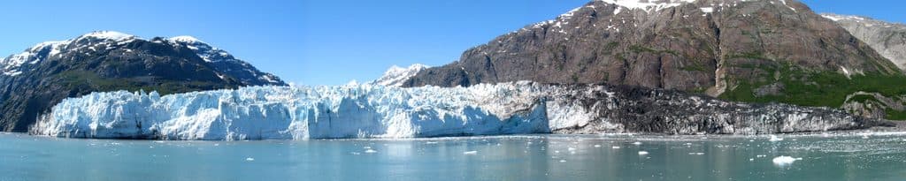
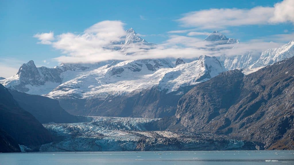
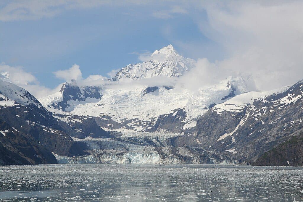
  • The former tidewater face of Muir Glacier—now retreated inland—framed by rugged peaks and recently deglaciated terrain.
  • Classic fjord scenery: moraines, exposed bedrock, braided streams, and a mosaic of coves and points.
  • Nearby glacier country, including the basins of Casement, McBride, and Riggs Glaciers in the east arm.

Why It’s Special

Muir Inlet is a living lesson in change. In the late 19th century, Muir Glacier filled much of this waterway; since then it has rapidly receded, transforming the inlet and exposing new ground. That shift sent most big‑ship traffic to the west arm, leaving Muir quieter and more pristine for small craft.

How People Visit

This is small‑boat and kayak territory. The inlet is known for paddling and private boating rather than large‑vessel sightseeing. Expect solitude and self‑reliance—there are no developed facilities along the inlet.

Wildlife

Specific species lists aren’t detailed here, but the area is known for marine mammals (think seals and potentially whales), seabirds and waterfowl, and the kinds of terrestrial wildlife you encounter along Glacier Bay shorelines. Bring binoculars and keep your distance.

Best Time to Visit

There are no posted hours and crowd patterns are simple: Muir is generally quieter than the west arm because large vessels focus elsewhere. Aim for stable weather windows—conditions can change quickly on the water, and clear spells will reward you with bigger views and better photos.


Know Before You Go

  • No services: no restrooms, no stores, no campgrounds—come fully self‑sufficient.
  • Backcountry camping here is primitive and permit‑required, with strict Leave No Trace practices.
  • If you’re chasing dramatic calving, head to the west arm; Muir Glacier no longer meets the sea.

Pros

  • Quieter east arm with fewer large tour boats
  • Popular, sheltered route for kayakers and private boaters
  • Dynamic post‑glacial scenery and ongoing ecological change

Cons

  • No tidewater glacier at the head; no calving ice displays
  • No services or facilities; access is by water only

Tips

  • Plan a self‑sufficient trip—there are no services or facilities in the inlet.
  • Carry reliable navigation and tide/current info; this is remote water.
  • Pack layers and rain gear; weather shifts quickly.
  • For tidewater glacier calving, plan your big‑ice viewing in the west arm instead.
  • Backcountry camping requires a permit and strict Leave No Trace—pack out all waste.
The Parkwolf tour guide sitting on a phone mounted in a car

Parkwolf Tour Guide

Like a tour guide in your car.

Save the places you found around Glacier Bay, then let Parkwolf guide the drive between them.Download Parkwolf on the App Store