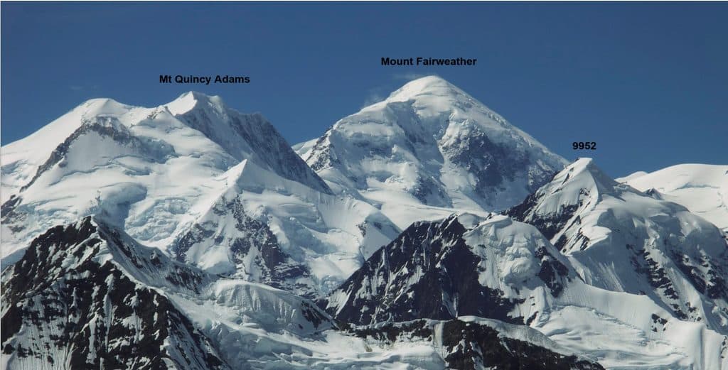
Mount Quincy Adams

Remote 13,650-foot border peak for serious mountaineers
Mount Quincy Adams, Glacier Bay National Park
InsideGlacier Bay National Park

Overview

Mount Quincy Adams is a high, heavily glaciated summit on the Alaska–British Columbia line, with its southern and eastern flanks inside the park’s designated wilderness. It’s not a casual stop—this is big, wild country where you come for isolation, ice, and long horizons.

What It’s Like

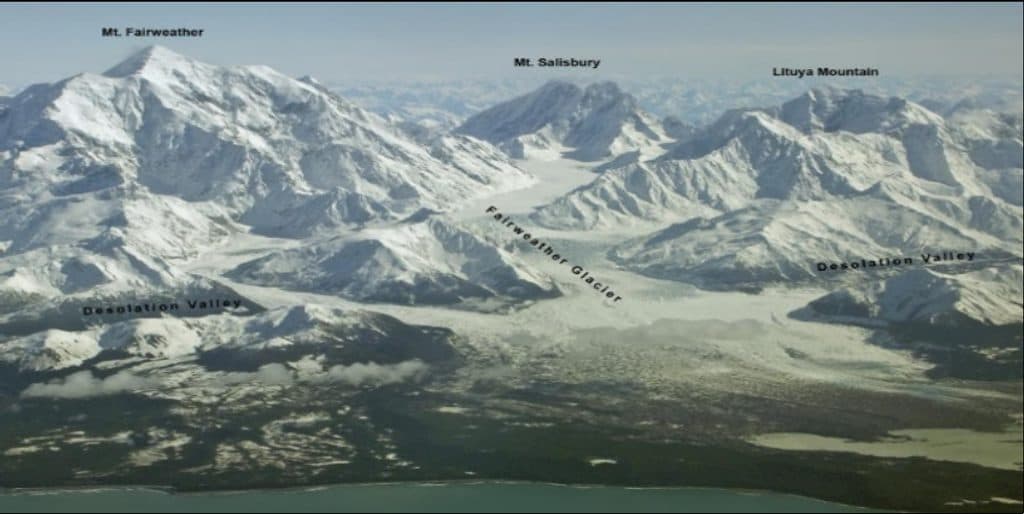
Expect sprawling glaciers, steep snowfields, and airy ridgelines with far‑reaching views across the Fairweather Range. Documented ascents reference committing ridge travel—think big relief and serious exposure—rather than a marked trail.

Who It’s For

This is a mountaineer’s objective, not a day hiker’s viewpoint. Parties should be proficient in glacier travel, crevasse rescue, and self‑reliant navigation, and prepared for committing weather and decision‑making far from help.

Access & Amenities

There’s no road access, no trailhead, no signage, and no facilities of any kind. Approaches are expedition‑style; some parties arrange air or boat drop‑offs to reach the high country. Plan to be fully self‑sufficient and to pack out everything.

History

The mountain was named in 1923 for John Quincy Adams, recognizing his role in diplomacy that influenced the eventual U.S.–Canada boundary. It’s also seen notable ridge traverses, including ascents via the complete South Ridge with descents of the West Ridge.

Wildlife

Wildlife notes for this specific peak are sparse, which makes sense given the ice and altitude. Broader park fauna includes mountain goats, brown bears, and a variety of birds—though encounters high on the mountain are uncommon.

Planning Notes

The summit straddles the international boundary. If your route crosses onto the Canadian side, confirm permits and regulations with both countries. On the U.S. side, you’re in Glacier Bay’s wilderness: follow strict backcountry rules and minimum‑impact practices.

Best Time to Visit

There isn’t a “busy day” here—visitation is extremely low. Success hinges on short weather windows and clear visibility. Watch forecasts closely, build extra days for delays, and time summit bids for stable conditions and good light.


Pros

  • Remote, glaciated scenery across the Fairweather Range
  • Serious mountaineering routes including long ridge traverses

Cons

  • No trail, facilities, or road access; full expedition logistics required
  • Highly volatile weather and complex glacier terrain

Tips

  • Plan an expedition-level approach; there is no road access or trailhead.
  • Carry full glacier gear and rescue equipment; navigation is complex.
  • Build a flexible schedule around short, stable weather windows.
  • If crossing the border, secure permissions for both the U.S. and Canada.
The Parkwolf tour guide sitting on a phone mounted in a car

Parkwolf Tour Guide

Like a tour guide in your car.

Save the places you found around Glacier Bay, then let Parkwolf guide the drive between them.Download Parkwolf on the App Store