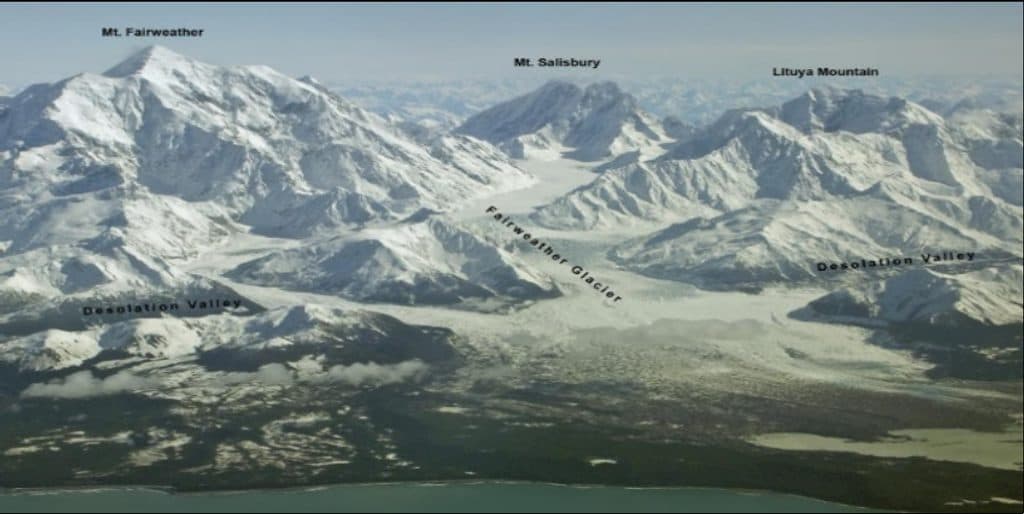
Mount Salisbury

Remote Fairweather Range giant for serious, self-sufficient alpinists
Mount Salisbury, Glacier Bay National Park
InsideGlacier Bay National Park

Overview

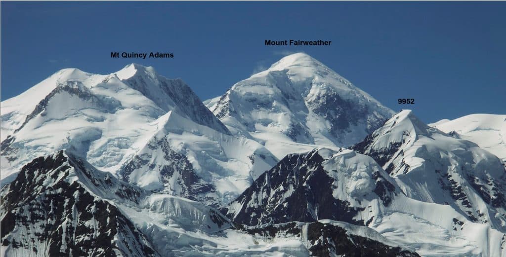
Mount Salisbury is a 12,170-foot glaciated summit in the Fairweather Range, sitting inside the Glacier Bay Wilderness. It’s roughly 6 miles southeast of Mount Fairweather and about as remote as it gets—no roads, no trails, no developed sites. If you’re looking for a casual hike or cruise-by viewpoint, this isn’t it; if you crave raw, seldom-seen alpine terrain, you’re in the right neighborhood.

What You’ll See

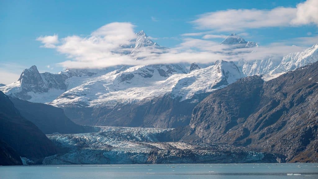
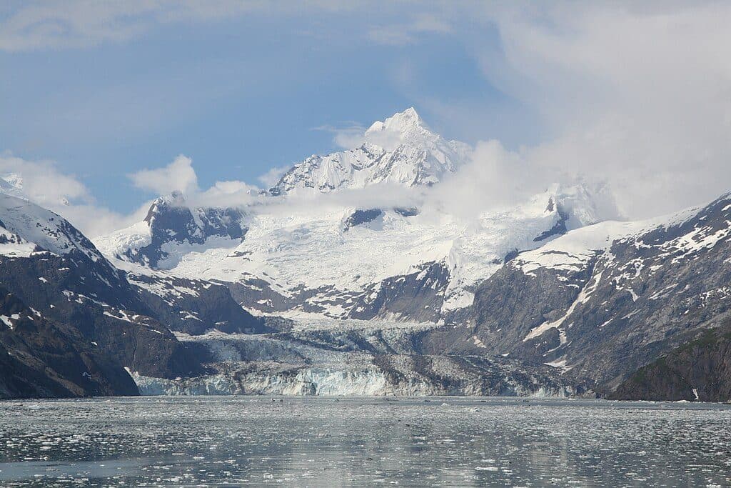
Expect vast glacier fields, crevasses, and steep snow and ice faces rising thousands of feet. On rare clear days, upper elevations deliver sweeping views across the Fairweather crest and out toward the ocean. Dawn and dusk light can turn the ice and ridgelines surreal—if the weather lets you see them.

Access and Regulations

There’s no frontcountry approach. Parties typically use fixed‑wing glacier landings; helicopter landings and airdrops are prohibited. Commercial guiding in the Fairweather Range is tightly capped (only two guided mountaineering trips per year), and the park does not maintain a high‑altitude rescue team—plan to be fully self‑reliant.

Climbing Profile & History

This is advanced, commitment-heavy mountaineering. The mountain’s steep, heavily glaciated flanks include faces on the order of 50–55 degrees with objective hazards like avalanche and serac fall. The first recorded ascent wasn’t until 1977, via the northwest face—late by Alaska standards, which tells you a lot about the peak’s remoteness and seriousness.

Practicalities (There Are No Amenities)

There are no trailheads, restrooms, camps, or services anywhere near Mount Salisbury. You’re in designated wilderness; pack everything in and out. Bear-resistant food storage is required. Navigation, communications, and self-rescue capability aren’t optional—they’re the baseline.

Best Time to Visit

There are no “hours,” and crowds aren’t a factor. Success comes down to catching a stable high‑pressure window in a notoriously stormy corner of Alaska. Build generous buffer days into your plan, and time summit pushes for early or late light if you’re after photos.


Safety Snapshot

Plan for crevasses, avalanche terrain, icefall, and fast‑moving weather. With helicopter landings banned and no high‑altitude rescue program, you and your team are the contingency plan.

Pros

  • Wild, seldom-visited alpine scenery deep in true wilderness
  • Serious mountaineering objective with dramatic glaciated faces

Cons

  • No trails, facilities, or easy access of any kind
  • Harsh, changeable weather and significant avalanche/icefall hazards

Tips

  • Plan access around fixed‑wing glacier landings; helicopters are not allowed.
  • Only two guided mountaineering trips are permitted annually in the Fairweather Range—book early or go unguided.
  • Build extra days for weather; success hinges on short, stable windows.
  • Carry bear‑resistant food storage and be fully self‑sufficient for emergencies.
  • Bring satellite communications and full crevasse rescue and avalanche kits.
The Parkwolf tour guide sitting on a phone mounted in a car

Parkwolf Tour Guide

Like a tour guide in your car.

Save the places you found around Glacier Bay, then let Parkwolf guide the drive between them.Download Parkwolf on the App Store