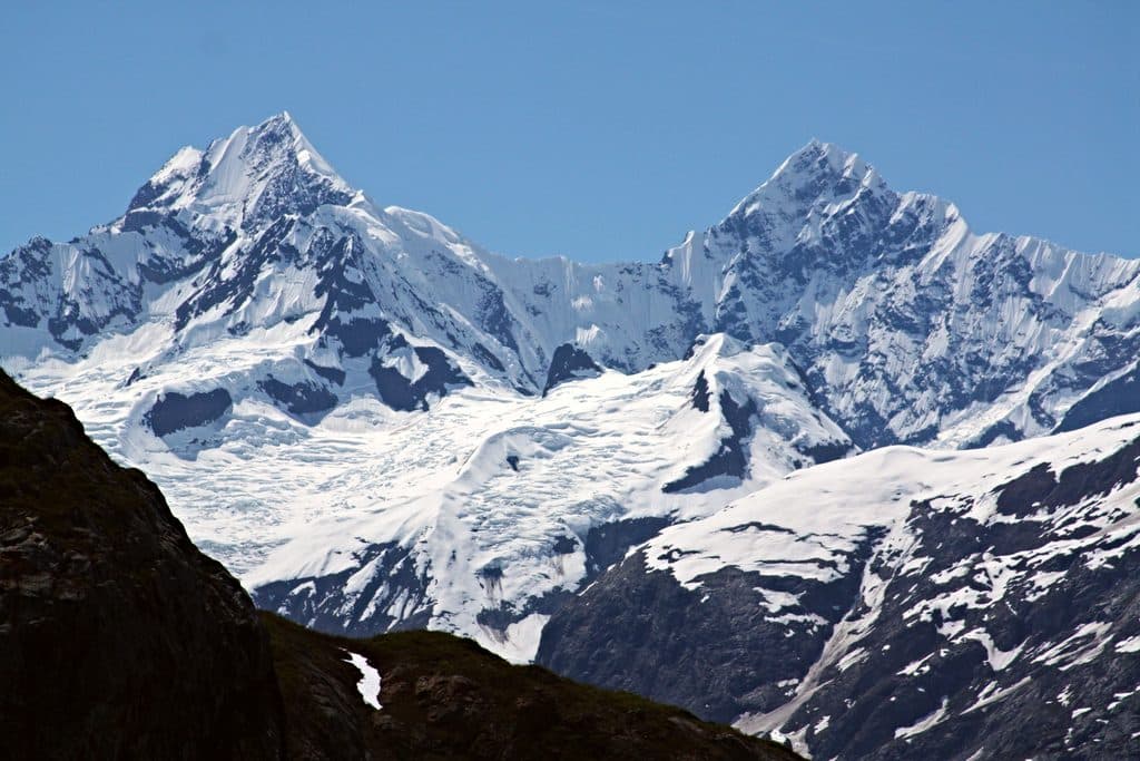
Mount Wilbur

Remote Fairweather Range peak for serious, self-sufficient expeditions
Mount Wilbur, Glacier Bay National Park
InsideGlacier Bay National Park

Overview

Mount Wilbur is a remote Fairweather Range peak in the heart of Glacier Bay’s backcountry, rising to about 10,820 feet. It sits roughly 1.3 miles west of Mount Orville and about 8 miles northwest of Mount Crillon. The name honors Wilbur Wright, a nod to Alaska’s aviation legacy.

Setting and Scenery

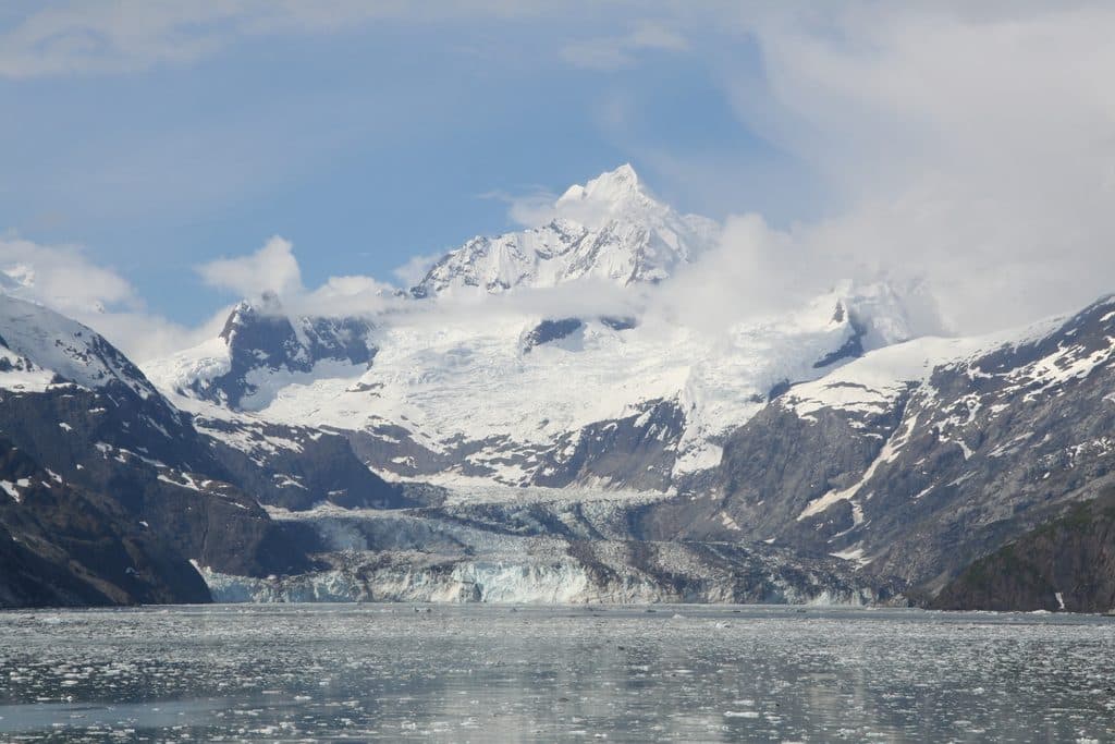
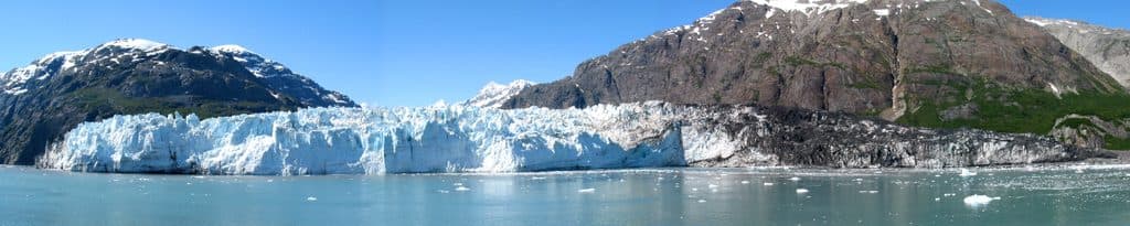
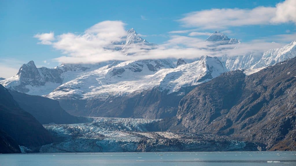
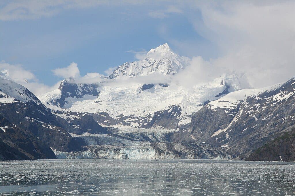
This is classic Saint Elias–style alpine terrain: steep relief, heavy snow and ice, and big glaciers pouring off every aspect. Expect sweeping views of broad icefields and glaciated valleys, with nearby ice like Cascade, Charley, and Johns Hopkins Glacier defining the landscape.

Who It’s For

Wilbur isn’t a casual sightseeing stop—it’s a prize for experienced, self-sufficient mountaineers and backcountry teams comfortable with glacier travel and complex alpine decision-making. If you’re not an alpinist, think of this one as an inspiring dot on the map rather than a must-see stop.

Access and Regulations

There are no roads, trails, or developed sites here. Access for mountaineering parties is typically by fixed‑wing aircraft to snow/ice; helicopters and airdrops are not permitted in the park. Guided use in the Fairweather Range is extremely limited, with only a very small number of guided mountaineering trips authorized each year. The park also does not maintain high‑altitude rescue capability, so teams must plan for self‑rescue and long response times.

Wildlife

High on the mountain, wildlife sightings are sparse. In the broader area you might encounter mountain goats on rocky slopes, and bears or wolves lower down in vegetated valleys. Treat food storage and travel with full big‑country caution.

Conditions and Hazards

Count on objective alpine hazards: crevasses, avalanches, cornices, and sudden storms. Cloud and fog can sock in quickly; clear windows are spectacular but fickle. There are no facilities, no cell service, and no easy exits.

Best Time to Visit

There are no hours or crowds to dodge out here. Your “best time” is whenever a stable weather window lines up with your team’s readiness and logistics. For photography, low-angle light on a clear day makes the ice and relief pop—if the weather cooperates.


Pros

  • Wild, glaciated Fairweather Range scenery and real solitude
  • Serious alpine objective with expedition-level challenge

Cons

  • No roads, trails, or infrastructure anywhere near the peak
  • Harsh, fast-changing weather and objective glacier hazards

Tips

  • Plan for fixed‑wing access to snow/ice; helicopters and airdrops are prohibited in the park [nps.gov](https://www.nps.gov/glba/planyourvisit/mountaineering.htm).
  • Guided use in the Fairweather Range is highly restricted—only a couple of guided mountaineering trips are authorized each year, so inquire very early [nps.gov](https://www.nps.gov/glba/planyourvisit/mountaineering.htm).
  • Expect zero facilities; official maps show no services anywhere near the mountain [nps.gov](https://www.nps.gov/glba/planyourvisit/maps.htm) and visitor area maps confirm services concentrate at Bartlett Cove [visitglacierbay.com](https://www.visitglacierbay.com/plan/area-maps/).
  • Build a self‑rescue plan and carry reliable satellite communications; the park does not provide high‑altitude rescue capability [nps.gov](https://www.nps.gov/glba/planyourvisit/mountaineering.htm).
  • Watch for short, volatile weather windows and be ready to pivot your plan quickly.
The Parkwolf tour guide sitting on a phone mounted in a car

Parkwolf Tour Guide

Like a tour guide in your car.

Save the places you found around Glacier Bay, then let Parkwolf guide the drive between them.Download Parkwolf on the App Store