Overview
About Bartlett Cove Beach
Why stop
- A real beach stop with intertidal life and a geology wayside.
Map
Where it is

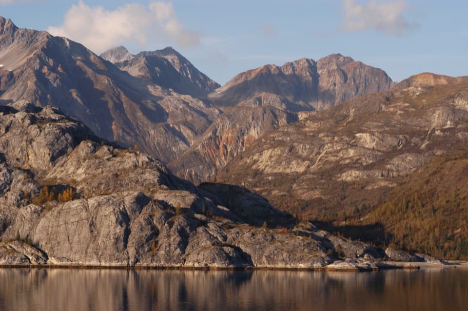
The highest, rockiest slopes around here are a summer buffet for grizzly bears.
Glacier Bay Tour Guide
Your drive to Bartlett Cove Beach, narrated.
Parkwolf is a GPS audio tour guide for Glacier Bay National Park. As you drive, it chimes in with what’s ahead: hidden gems, upcoming stops, history, geology, and wildlife, right through your car’s speakers.
Recorded for this place
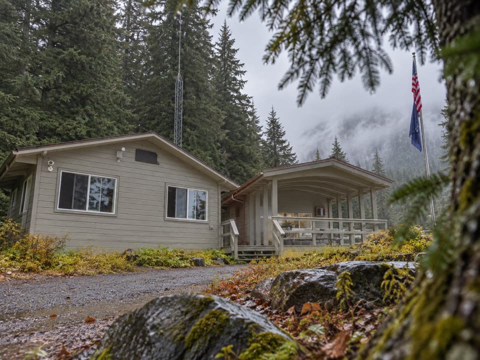
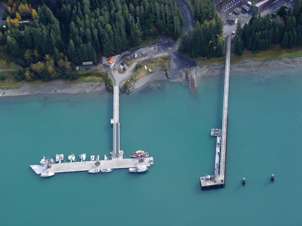
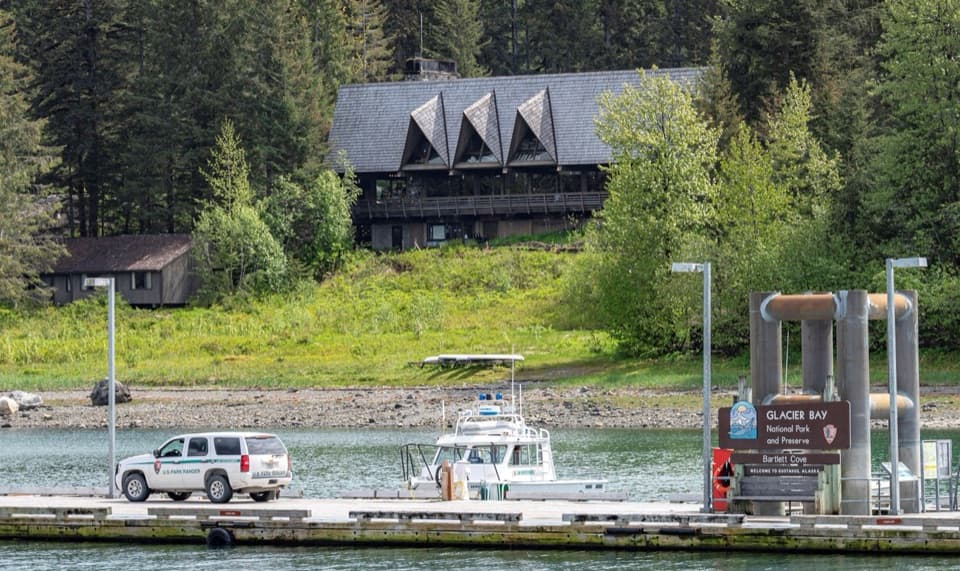
Bartlett Cove Dock and Shoreline“You're nearing Bartlett Cove's public dock and Visitor Information Station. If you're camping or taking a private boat into the bay, stop at the station first for the required orientation.”
Plays as you drive up to Bartlett Cove Beach in the Parkwolf Glacier Bay Tour Guide.
More stories near here in the app
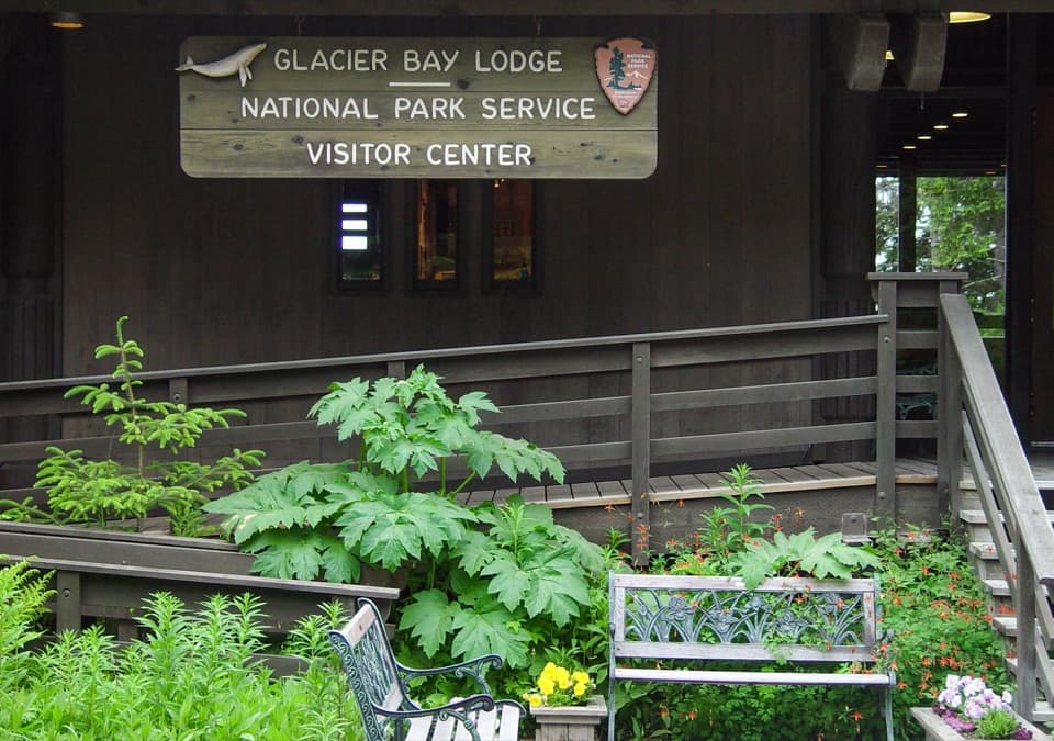
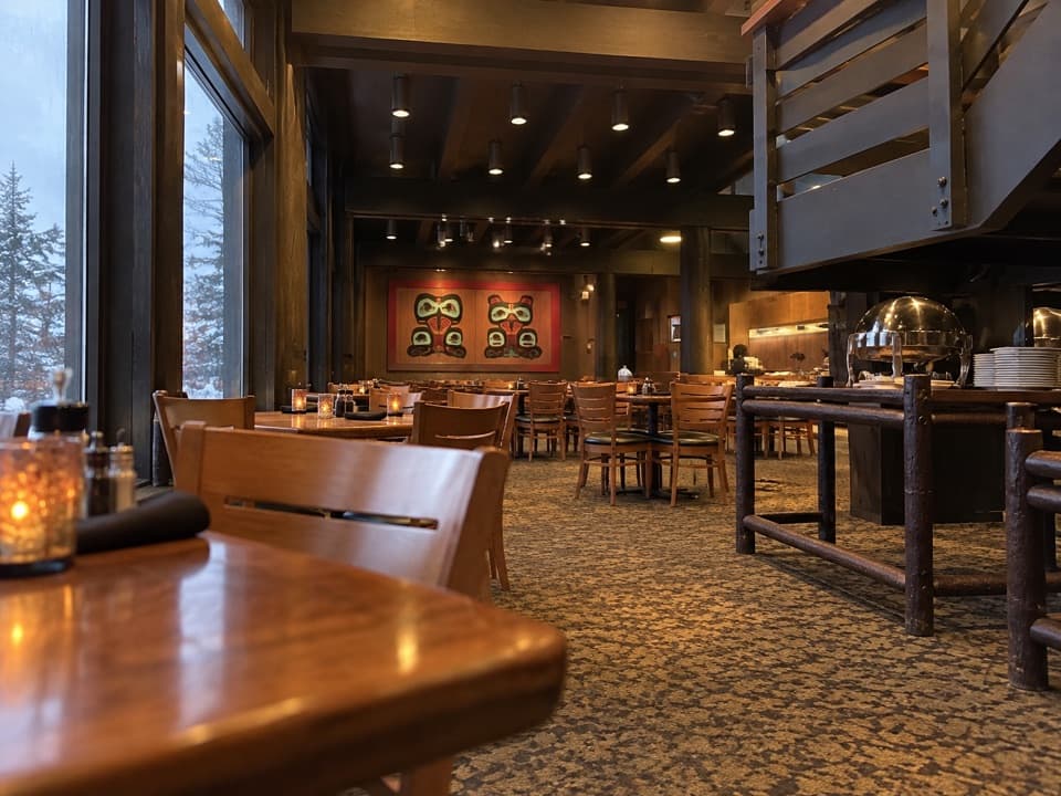
- Glacier Bay Lodge and Visitor Center
- Huna Tribal House and Tlingit Trail
- Bartlett River and Lake Trailhead
- Bringing Back the Gull-Egg Harvest
- 19 audio storiesacross Glacier Bay’s roads, triggered by GPS as you drive
- Wildlife heatmapsfor Humpback Whale, Orca, Brown Bear, and 13 more
- Works offlinemaps, 7 trails, 33 places, and audio download before you lose signal
- CarPlay readysimple controls built for the drive
“Fantastic app with many points of information… It’s great to just turn on while you’re driving and it gives you an audio tour of the national Park. We love it!!!!”


Guide
More about Bartlett Cove Beach
Head down to the beachBartlett Cove Beach is a sandy public shoreline beside the dock in Glacier Bay's developed…
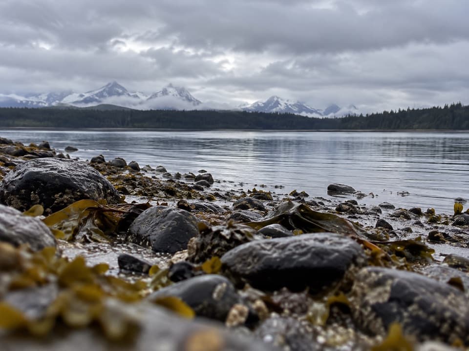
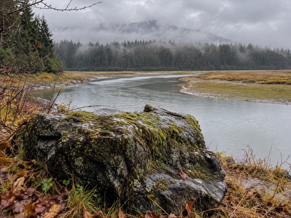
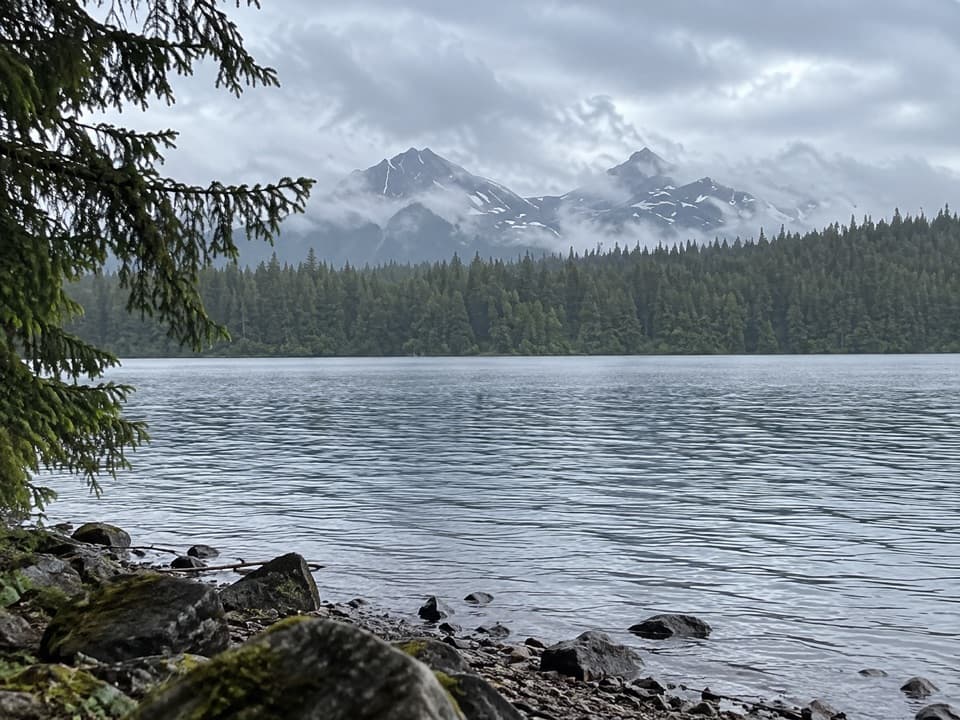
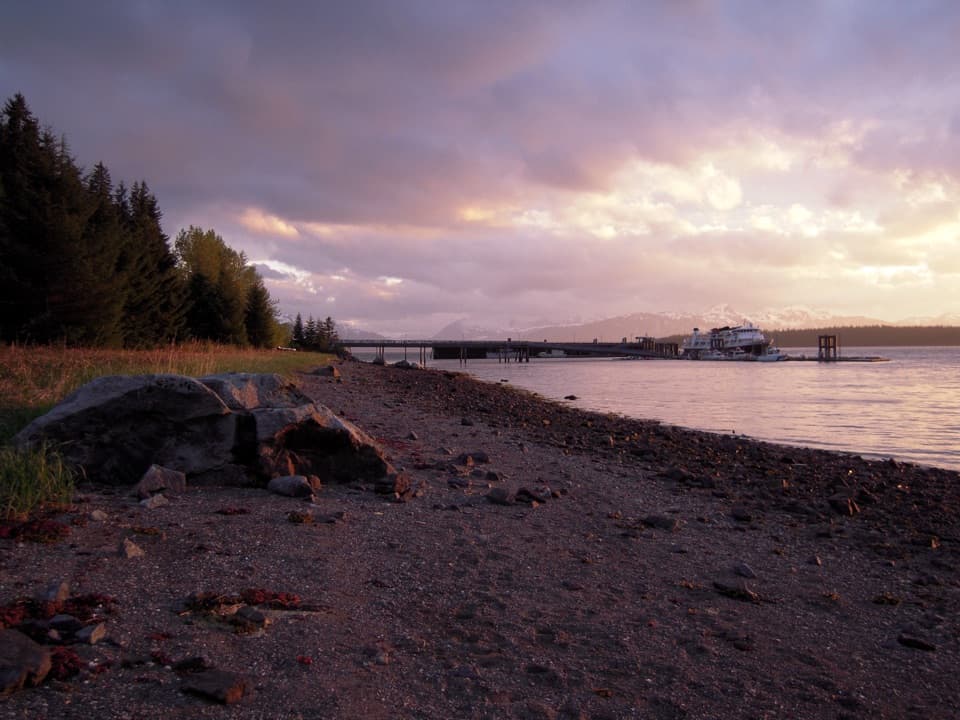
Bartlett Cove Beach is a sandy public shoreline beside the dock in Glacier Bay's developed Bartlett Cove. It's a quick stop to explore the intertidal zone and look across the cove. The park also describes a one-mile Shoreline Trail nearby if you want a longer walk.
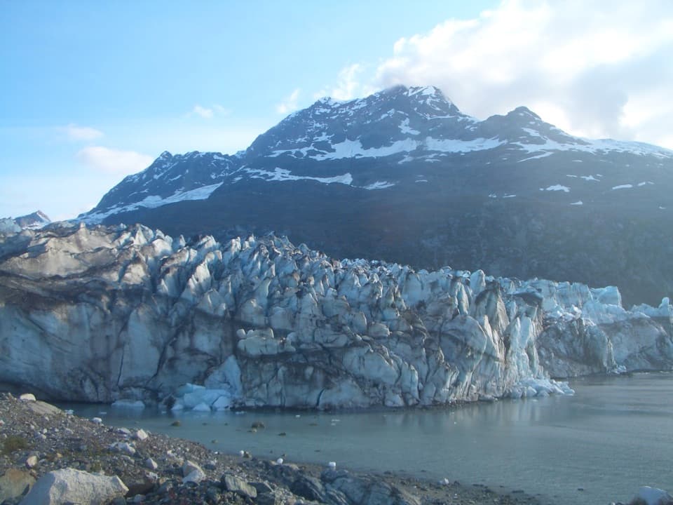
Watch the rocks come back to lifeAbout 250 years ago, a glacier stretching roughly 100 miles reached Bartlett Cove.
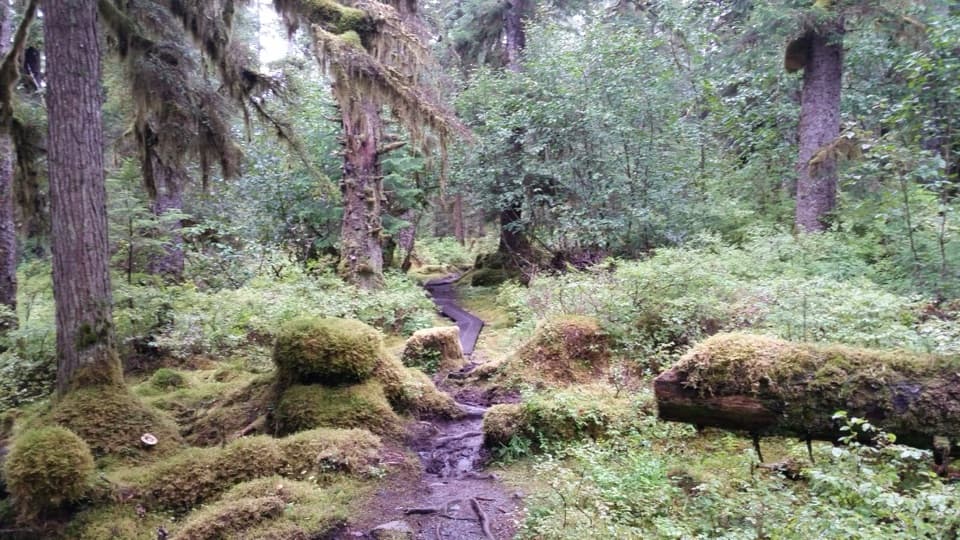
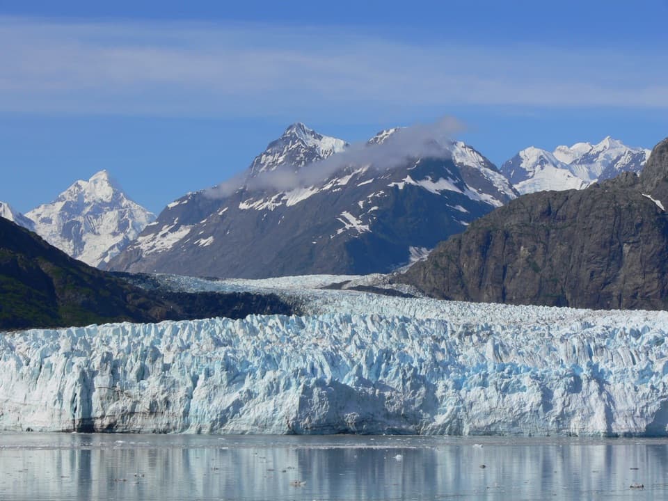
About 250 years ago, a glacier stretching roughly 100 miles reached Bartlett Cove. The Beach Rocks wayside shows what followed: lichens colonize bare rock, moss helps form soil, and alder, willow, cottonwood, and spruce can move in. The order isn't fixed; plants take hold wherever conditions suit them.
Plan around the tideAt Bartlett Cove, you can walk from the developed area down to the shore.
At Bartlett Cove, you can walk from the developed area down to the shore. What you find between the rocks changes with the tide, so check a tide table if intertidal life is your goal. The park is reached by boat or plane via Gustavus. For a photo, use the beach rocks in the foreground and line up the dock and distant mountains across the water.
Wildlife
Wildlife in Glacier Bay
 98 sightingsHumpback WhaleMost seen around 6 AMSighting map
 48 sightingsOrcaMost seen around 5 PMSighting map
 111 sightingsBrown BearMost seen around 7 PMSighting map
 313 sightingsSea OtterMost seen around 4 PMSighting map
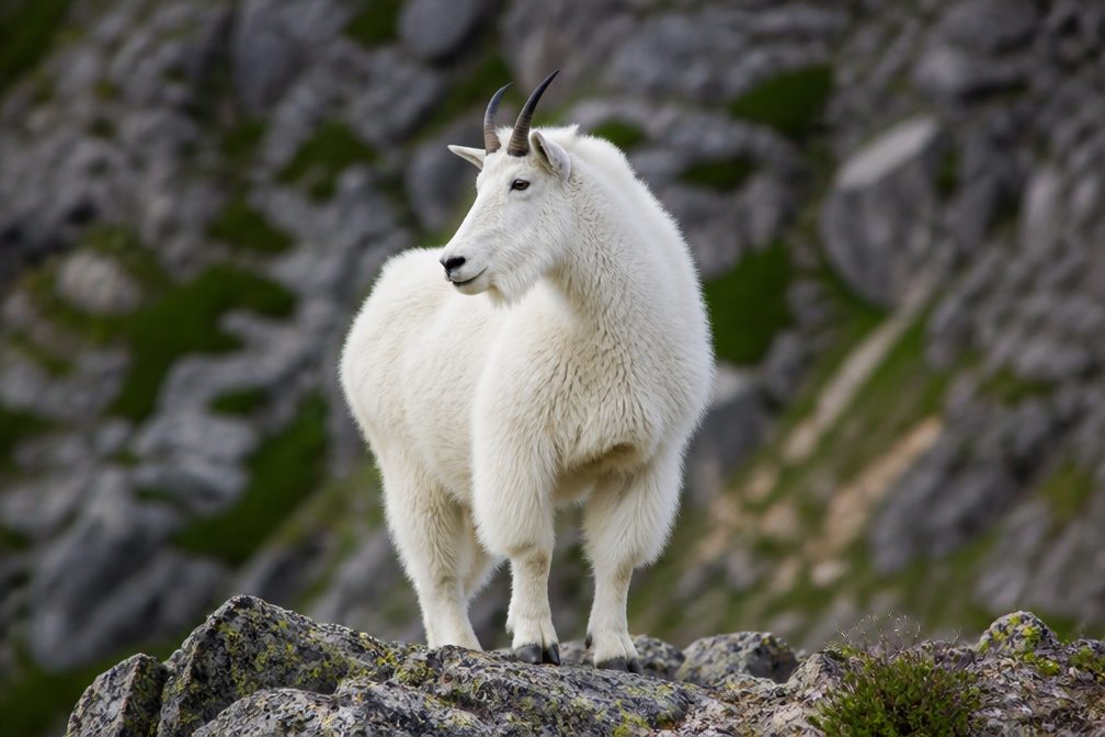 106 sightingsMountain GoatMost seen around 6 PMSighting map
 93 sightingsBald EagleMost seen around 5 PMSighting map
Sighting maps show where each species has been reported across Glacier Bay. Wildlife moves, so no sighting is guaranteed.