Overview
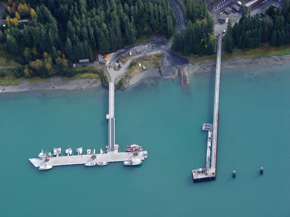
About Bartlett Cove Public Use Dock
Why stop
- Otters and low-tide life add to the working-harbor scene.
Heads up
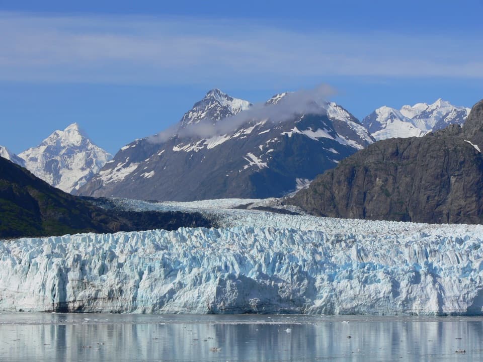
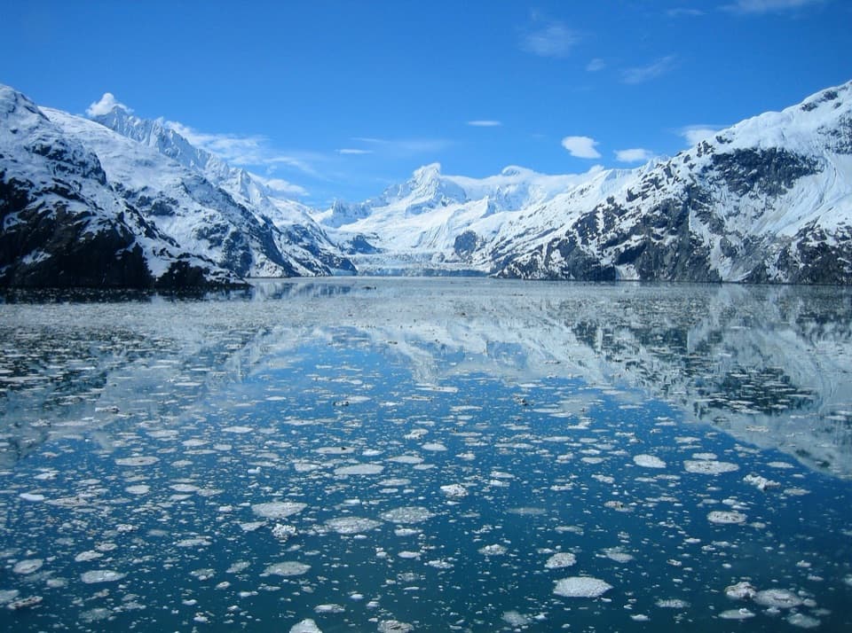
- Clear weather makes a difference to the mountain views.
Map
Where it is

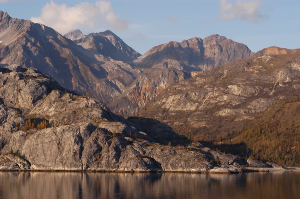
The highest, rockiest slopes around here are a summer buffet for grizzly bears.
Glacier Bay Tour Guide
Your drive to Bartlett Cove Public Use Dock, narrated.
Parkwolf is a GPS audio tour guide for Glacier Bay National Park. As you drive, it chimes in with what’s ahead: hidden gems, upcoming stops, history, geology, and wildlife, right through your car’s speakers.
Recorded for this place
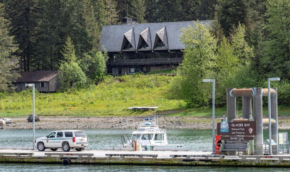
Bartlett Cove Dock and Shoreline“You're nearing Bartlett Cove's public dock and Visitor Information Station. If you're camping or taking a private boat into the bay, stop at the station first for the required orientation.”
Plays as you drive up to Bartlett Cove Public Use Dock in the Parkwolf Glacier Bay Tour Guide.
More stories near here in the app
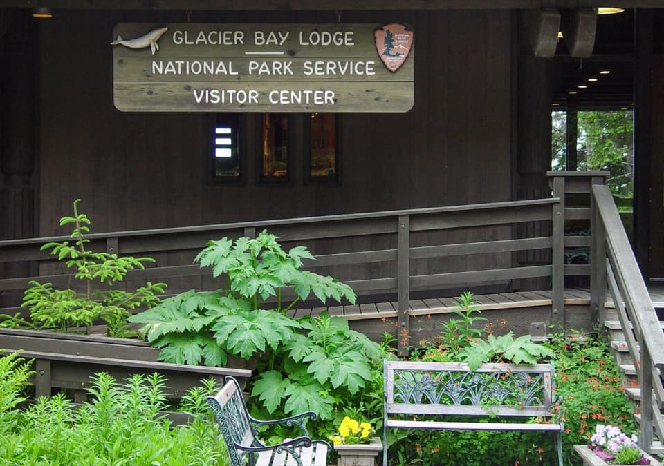
- Glacier Bay Lodge and Visitor Center
- Huna Tribal House and Tlingit Trail
- Bartlett River and Lake Trailhead
- Bringing Back the Gull-Egg Harvest
- 19 audio storiesacross Glacier Bay’s roads, triggered by GPS as you drive
- Wildlife heatmapsfor Humpback Whale, Orca, Brown Bear, and 13 more
- Works offlinemaps, 7 trails, 33 places, and audio download before you lose signal
- CarPlay readysimple controls built for the drive
“Fantastic app with many points of information… It’s great to just turn on while you’re driving and it gives you an audio tour of the national Park. We love it!!!!”


Guide
More about Bartlett Cove Public Use Dock
A working dock at Bartlett CoveBartlett Cove Public Use Dock is Glacier Bay's public boating dock and the park's main vessel…
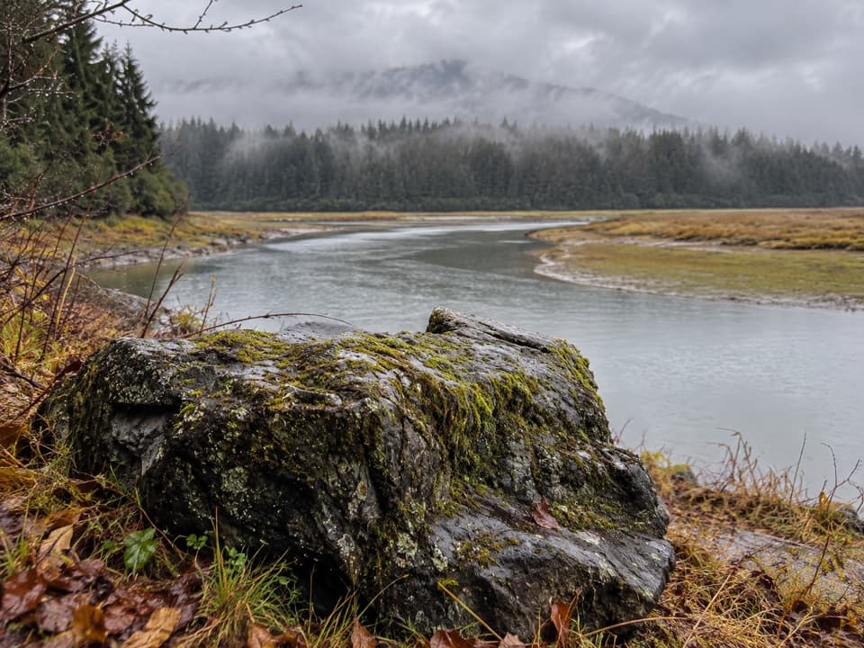
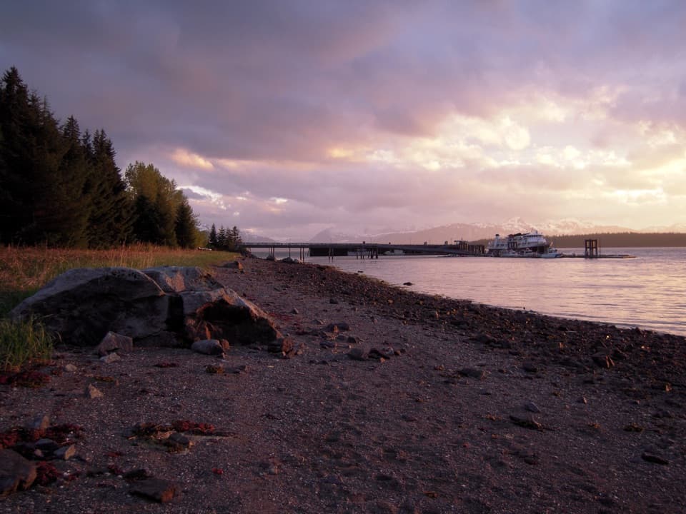
Bartlett Cove Public Use Dock is Glacier Bay's public boating dock and the park's main vessel entry and launch point. It sits at Bartlett Cove, a protected bay just inside the mouth of Glacier Bay. Boats and small craft use its launches; NPS also lists a seaplane launch, parking for cars and boat trailers, and an information kiosk. This is a working harbor, most useful if you're boating or want to watch the water traffic.
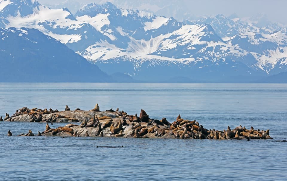
Look around the waterSea and river otters often forage near the dock.
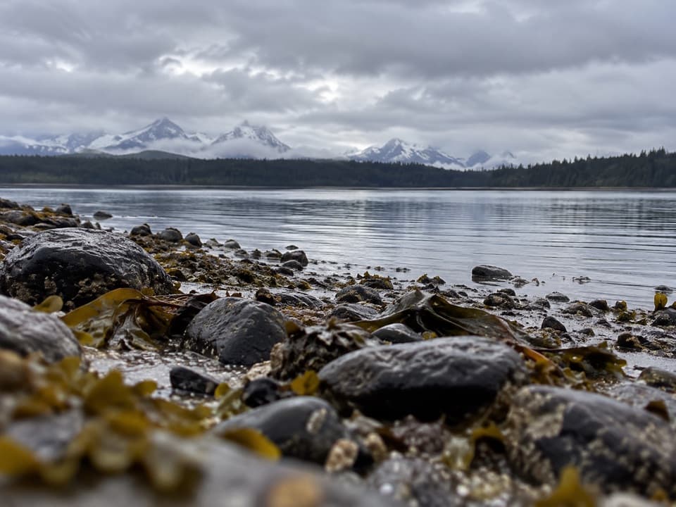
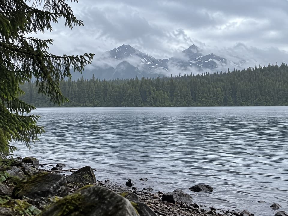
Sea and river otters often forage near the dock. At low tide, look down at the pilings for sea stars and anemones. On clear days, the Beartrack Mountains and Excursion Ridge are visible, with Mount Bertha, Mount Crillon, and Mount Fairweather among the named peaks. For a photo, keep a boat or dock post in the foreground so the mountains have scale.
Boat servicesThe dock complex lists a boat ramp, small-boat launch, car and trailer parking, non-potable…
The dock complex lists a boat ramp, small-boat launch, car and trailer parking, non-potable water, and a sewage dump station. The fuel dock is a separate structure for fueling and waste pumpout; it isn't a passenger or freight loading dock. Water listed here is non-potable, so don't use it for drinking. Fuel service is seasonal, listed by NPS for May through September.
Wildlife
Wildlife in Glacier Bay
 98 sightingsHumpback WhaleMost seen around 6 AMSighting map
 48 sightingsOrcaMost seen around 5 PMSighting map
 111 sightingsBrown BearMost seen around 7 PMSighting map
 313 sightingsSea OtterMost seen around 4 PMSighting map
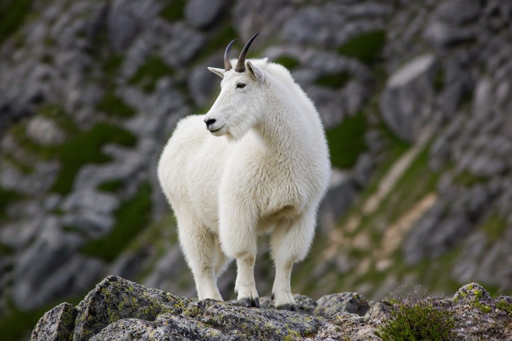 106 sightingsMountain GoatMost seen around 6 PMSighting map
 93 sightingsBald EagleMost seen around 5 PMSighting map
Sighting maps show where each species has been reported across Glacier Bay. Wildlife moves, so no sighting is guaranteed.