
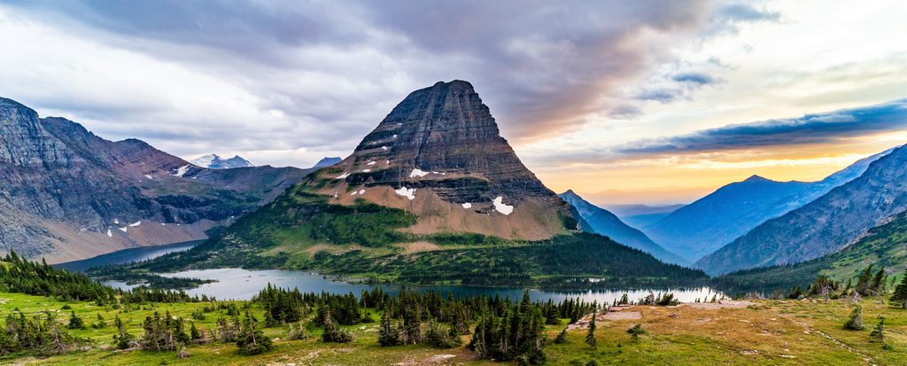
Place · 1.3 mi away
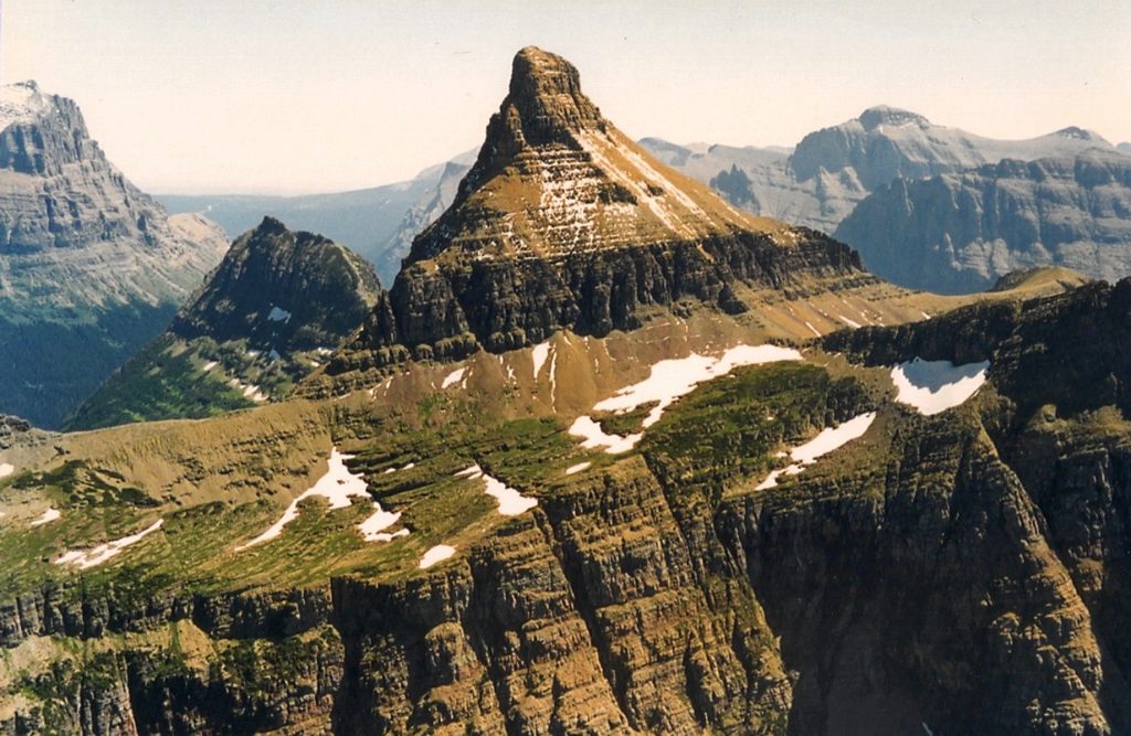
Rising to 9,125 feet, Mount Reynolds sits above Logan Pass and delivers a short-but-serious summit day with sweeping views over Hidden Lake and the high peaks around the pass. It’s widely considered one of the more accessible Glacier summits for fit hikers who are comfortable with hands-on scrambling and exposure.
Beneath your boots are ancient sedimentary layers of the Belt Supergroup, uplifted and shoved eastward along the Lewis Thrust, then carved by glaciation into today’s sharp horns and cirques. You’ll see that sculpting up close the moment you step off the boardwalk toward the peak’s talus and cliff bands.
From the Logan Pass boardwalk to Hidden Lake Overlook, pick up the climbers’ path toward the saddle between Reynolds and Dragon’s Tail. Higher up, the common crux is finding the safest line through the upper cliff band; many parties get cliffed out by drifting left. If the route feels wrong, backtrack and reassess—small errors here put you on consequential terrain. A short Class 3 summit block caps the day.
Early to mid-summer can leave steep snowfields on key traverses; traction and an ice axe may be necessary if snow lingers—and only if you have the skills to use them. Expect unstable scree, occasional poor holds, and rockfall potential from parties above; helmets are smart. Weather changes quickly at Logan Pass—start early and watch for afternoon storms.
This is not a maintained trail; it’s a climbers’ path. Strong route-finding is essential, especially near the upper cliff band.
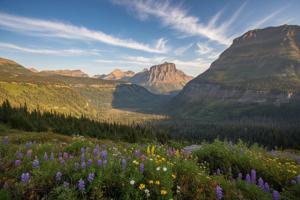
Mountain goats and bighorn sheep frequent this area—give them space. Bear sign, including tracks on lingering snow near the approach, has been noted. Views unfold in all directions from the summit, with Hidden Lake and Logan Pass stealing the show.
Aim for July–September once most snow has melted. Start at dawn on a weekday for parking and calmer weather before afternoon storms. If snow remains on key sections, either come equipped with proper gear and skills or wait for drier conditions.
Place · 1.3 mi away
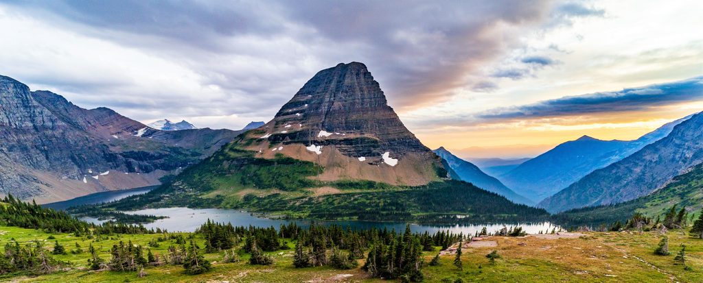
Place · 1.3 mi away
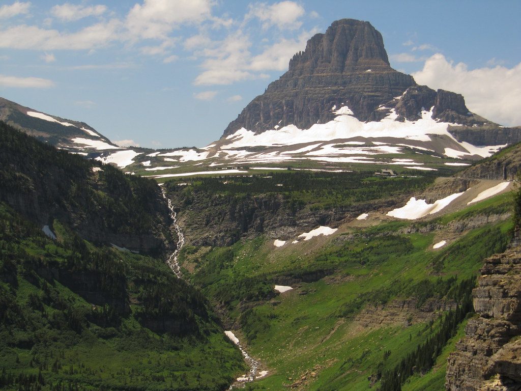
Place · 1.7 mi away
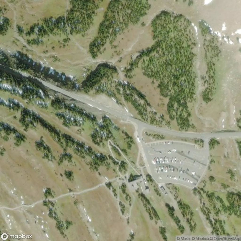
Place · 1.7 mi away
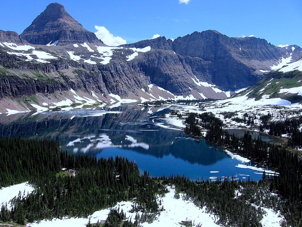
Moderate · 1.6 mi away
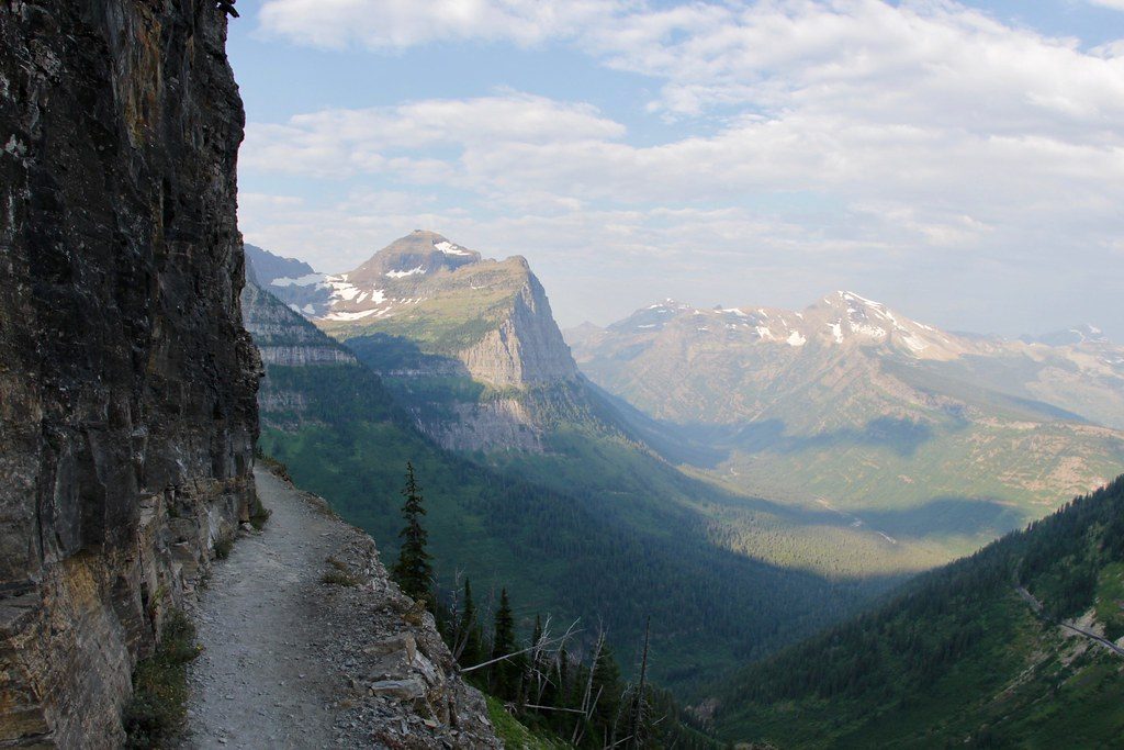
Challenging · 1.7 mi away
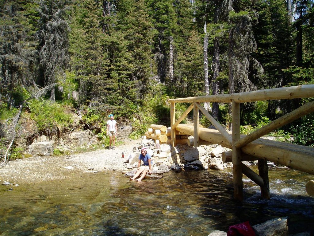
Challenging · 3.3 mi away
Challenging · 3.3 mi away

Parkwolf Tour Guide
