
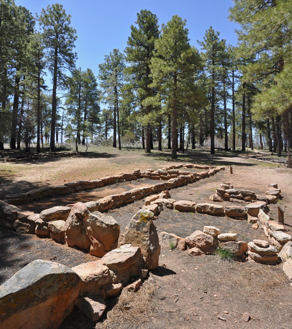
Place · 2 mi away
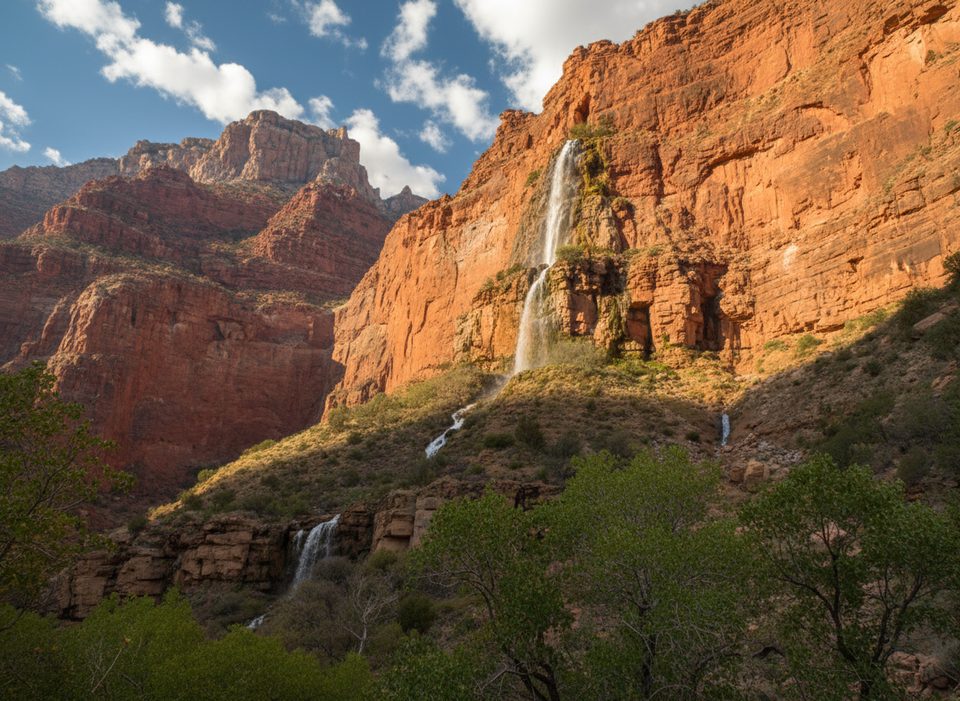
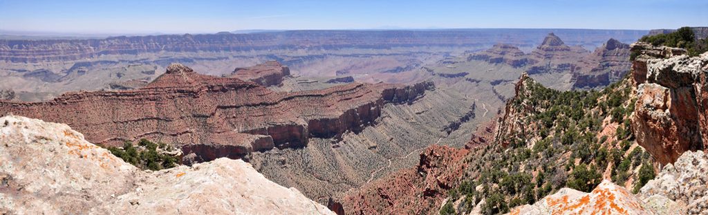
Cheyava Falls is the Grand Canyon’s tallest waterfall, an ~800‑foot ribbon dropping out of a cave in the Redwall Limestone into remote Clear Creek Canyon. It’s a wilderness objective through and through—no roads, no infrastructure, just big country and a long, committing approach.
When it’s on, Cheyava is a rare spectacle: a sheer, silvery cascade painting the Redwall. The name “Cheyava,” from Hopi for “intermittent,” says it all—this is a fleeting treat that shows up after substantial precipitation or spring snowmelt. Catching it running is a brag‑worthy Grand Canyon moment.
Reaching the falls requires a multi‑day backpack via the Clear Creek Trail from the main corridor near Phantom Ranch, then up Clear Creek and into a side canyon. Expect rough, rocky travel and some off‑trail navigation beyond the established trail. There are no developed facilities of any kind en route or at the falls.
This quiet corner draws typical desert canyon life: lizards and birds are common, and mule deer may drift through the riparian corridor. In spring, butterflies have been observed working the penstemon blooms.
This is permit‑only backcountry. Clear Creek use areas can fill; the falls itself lies in neighboring use area AJ9, which can provide a strategic alternative for an overnight when planning a Cheyava push. Camps are undeveloped; flat spots are limited near the falls.
Aim for early spring (roughly March–April) after North Rim snowmelt or right after significant rain. Outside these periods, expect a dry wall. Crowds aren’t the issue here—flow is. Plan your photography around the flow window first and everything else second.
For strong, self‑sufficient backpackers willing to gamble on conditions, Cheyava Falls delivers a rare, high‑drama payoff in one of the canyon’s quietest corners. If you need guaranteed waterworks or easy access, skip it; if you crave adventure and solitude, keep it on your short list.
Place · 2 mi away
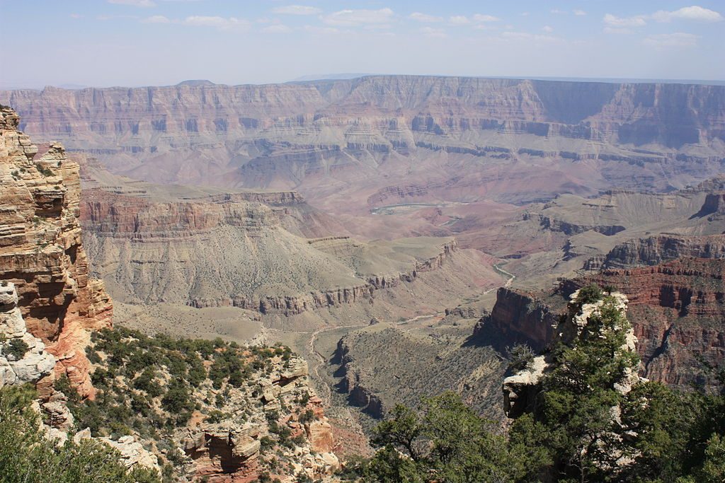
Place · 2.1 mi away
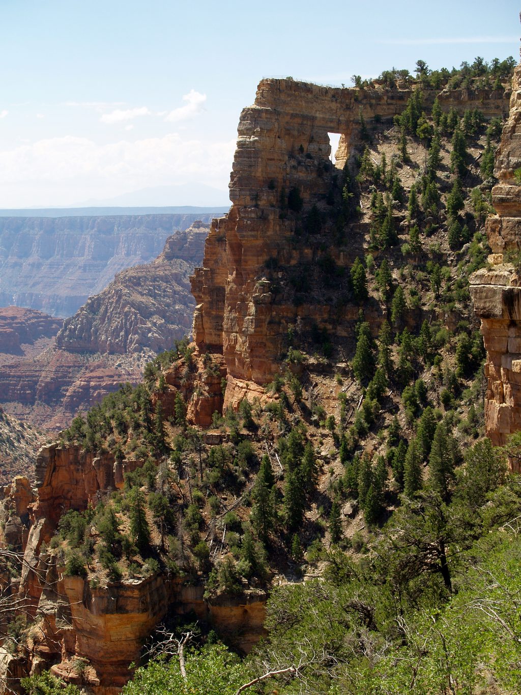
Place · 2.4 mi away
Place · 2.4 mi away
Easy · 2 mi away
Easy · 2.1 mi away
Easy · 2.1 mi away
Easy · 2.2 mi away

Parkwolf Tour Guide
