
Place · 2.6 mi away
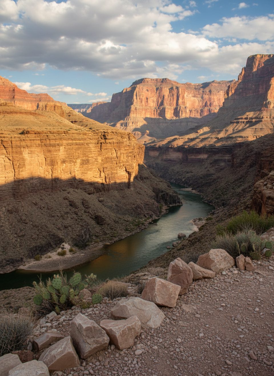
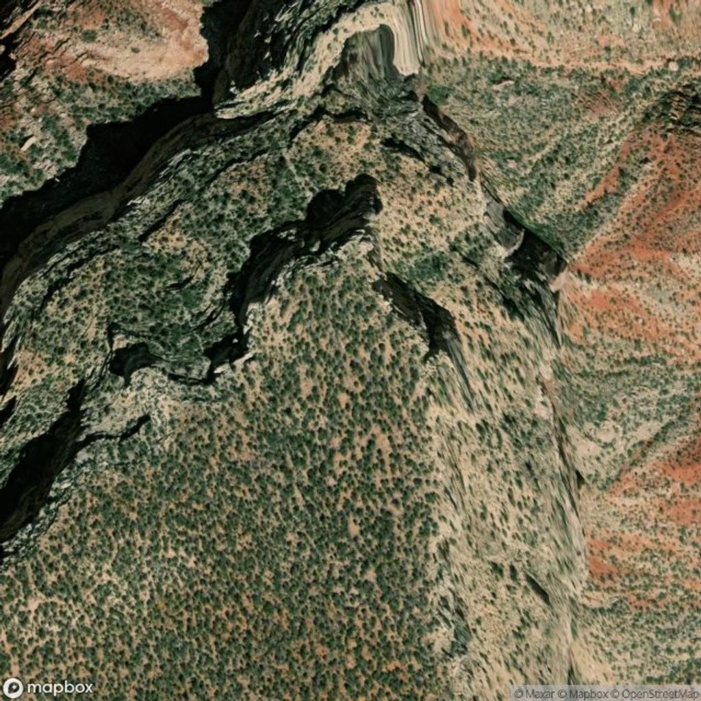
Toltec Point is a remote promontory on the far western South Rim, tucked between Chemehuevi Point and Montezuma Point. It’s the antithesis of the busy corridor overlooks—raw, quiet, and dramatic—hovering above the inner gorge and looking toward the Colorado River and Toltec Beach below.
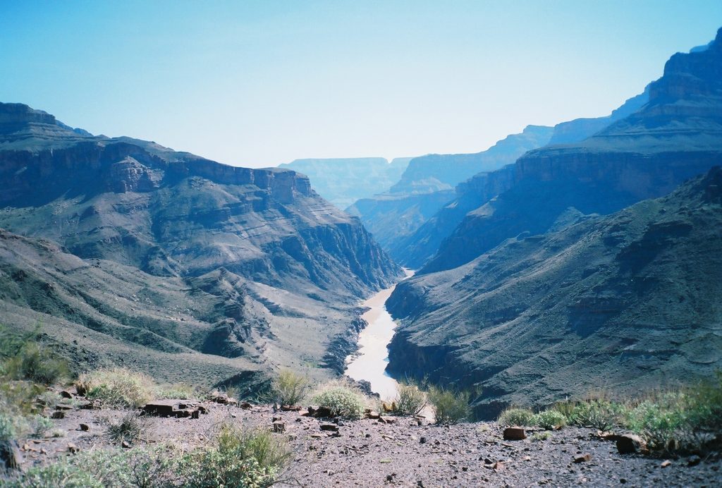
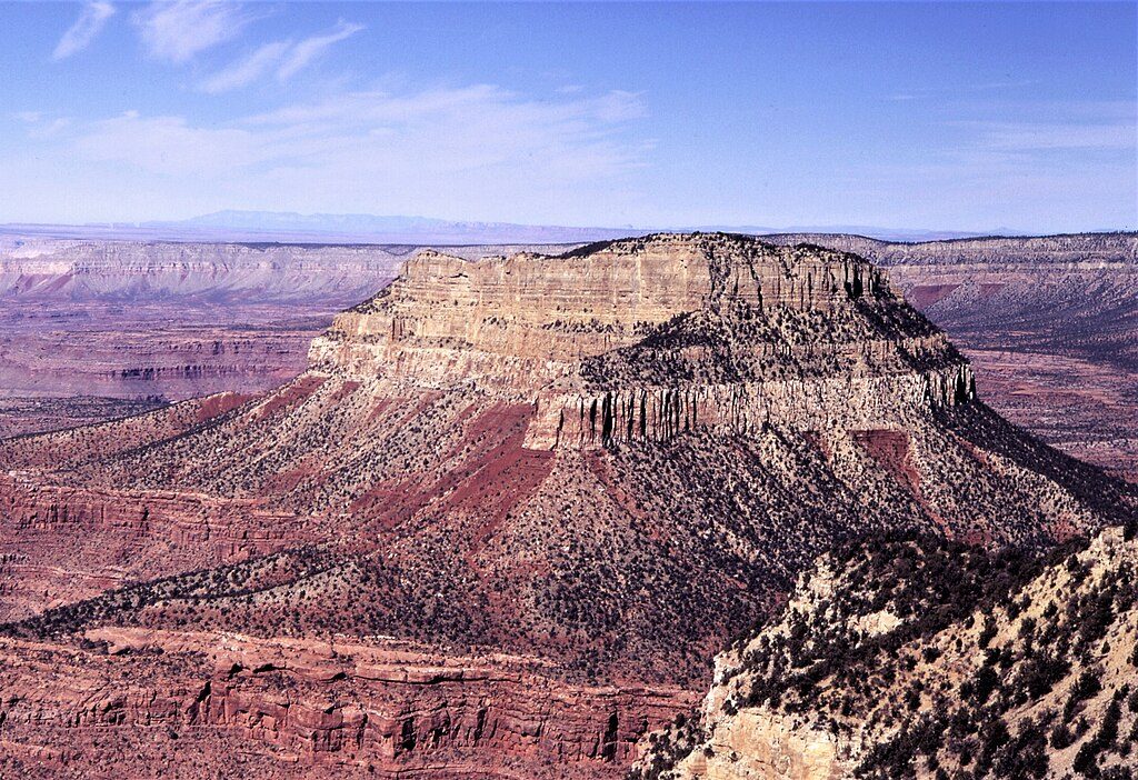
Expect sweeping, unspoiled canyon panoramas: the river far below, stark cliffs, and layer-cake geology with Tapeats shelves and the dark inner gorge. On clear days you can trace neighboring points along the rim and feel the scale that’s hard to grasp from busier viewpoints.
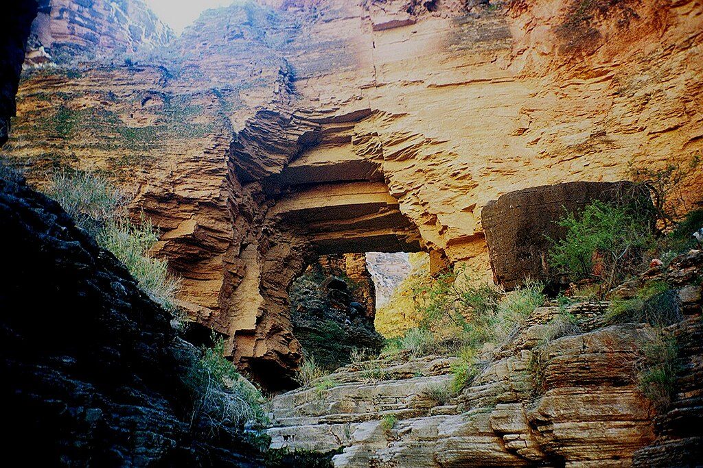
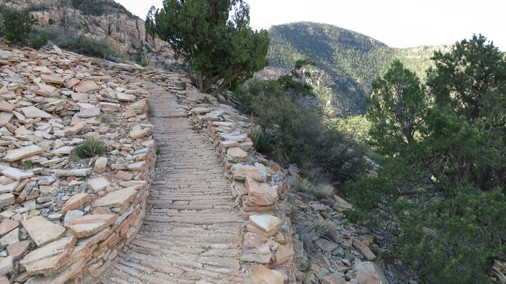
This is not a stroll from a shuttle stop. Toltec Point is approached via rugged, long backcountry routes in the South Bass/Royal Arch country. Trails can be faint or unmaintained, with sections requiring solid route-finding. Backpackers tackling the Royal Arch Loop contend with exposed terrain and even a short rappel on the full loop. Water sources are scarce and unreliable; many parties haul or filter from the river when conditions allow.
Bring real navigation tools (topo maps, GPS/compass), ample water plus filtration, sun protection, and emergency supplies—there’s no cell service and no infrastructure. Overnight travel requires a backcountry permit from the park. Treat this as true wilderness travel, not a casual day outing.
You may encounter ravens and raptors riding the thermals, seasonal wildflowers, lizards, and small mammals. Bighorn sheep are possible in this broader region, though sightings aren’t guaranteed. Keep your distance and practice Leave No Trace.
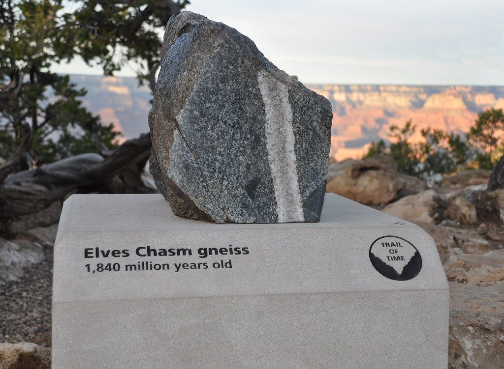
From the rim you’re looking into the Grand Canyon’s geologic time capsule—ancient basement rocks like Vishnu Schist and Zoroaster Granite in the depths, capped by younger layers including Tapeats Sandstone. The feature follows the park’s tradition of naming landmarks after ancient cultures.
Light is best early and late in the day, when shadows carve depth into the landscape and temps are less punishing. Because access is committing, many parties plan shoulder-season trips to avoid summer heat. Weekday vs. weekend doesn’t matter much—this area sees very little traffic. If you’re aiming for sunrise or sunset, build in extra time for safe navigation in low light and stay well back from cliff edges.
Place · 2.6 mi away
Place · 2.6 mi away
Place · 3.4 mi away
Place · 7.3 mi away
Challenging · 1.9 mi away
Challenging · 11.2 mi away
Challenging · 11.3 mi away
Challenging · 13.7 mi away

Parkwolf Tour Guide
