Challenging

Powell Plateau Trail

Remote forested island hike with big Grand Canyon rim views
Powell Plateau Trail, Grand Canyon National Park
Distance16 mi
Typical time12 hr
DifficultyChallenging
PetsNot allowed

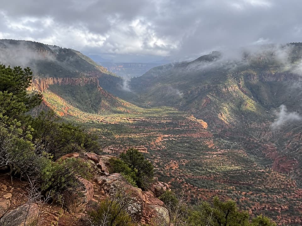
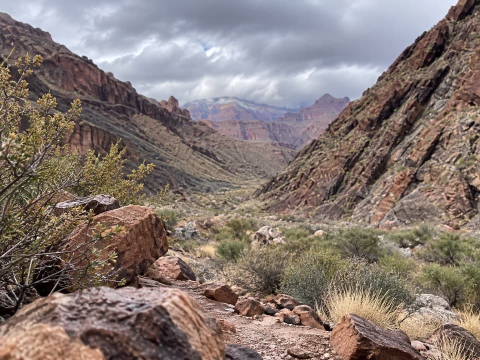
If you crave solitude and big-canyon perspective without the crowds, Powell Plateau delivers. Reached from the North Bass Trailhead near Swamp Point, this backcountry route drops via switchbacks to Muav Saddle, then takes the middle branch toward the plateau. Expect a primitive, unsigned path that demands attention and route-finding—especially where brushy manzanita and catclaw have reclaimed fire-affected stretches.

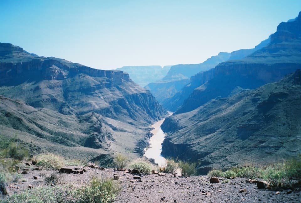
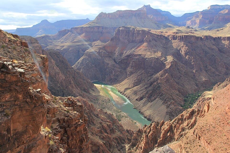
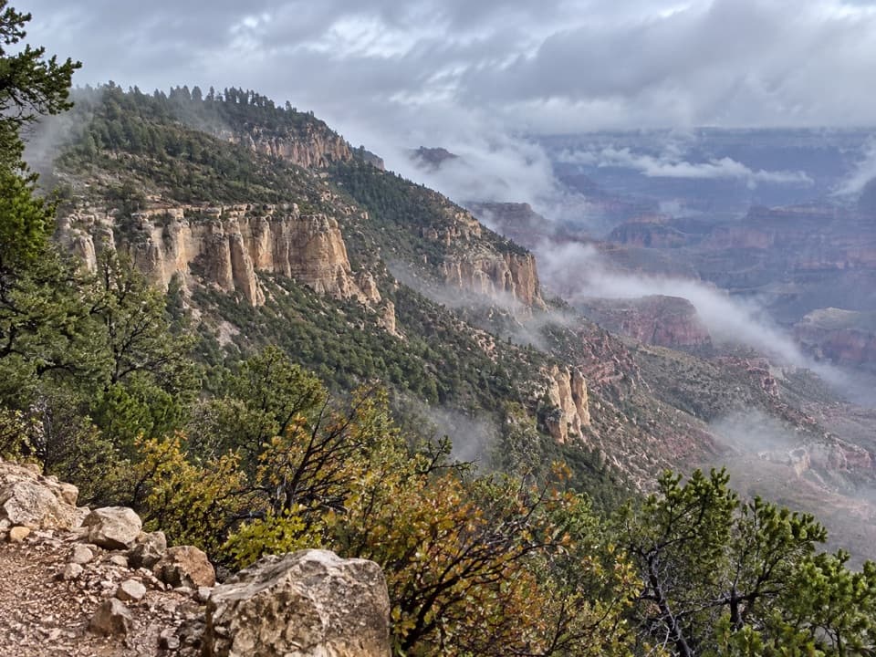
Once you crest the plateau (around 7,500 feet), the character shifts to a mostly flat, open forest of ponderosa pine with minimal underbrush, making cross-country exploration surprisingly easy. Rim promontories—Newberry, Thompson, Beale, and Ives Points—serve up panoramic views across the main canyon and the terraces of the Esplanade. Keep an eye out for prehistoric ruins and potsherds in places; tread lightly and leave all artifacts where they lie.

Plan on about 15–16 miles total for an out-and-back to the rim viewpoints atop the plateau, including the connector via Muav Saddle. Most hikers make this a one- or two-night backpack to enjoy sunrise and sunset camps along the rim; day-hiking it is a long, committing push. The path is faint to non-existent in spots, downed trees are possible, and there are no reliable water sources on the plateau itself—carry every drop you’ll need.

Best time to hike: late spring through early fall. Access to the North Bass/Swamp Point road often doesn’t happen until late May or early June; summer brings monsoon thunderstorms (spectacular clouds and dramatic light, but also lightning risk), while earlier or later shoulder seasons can have snow or mud. This is an adventure-forward, unmaintained route; bring detailed maps/GPS and expect to navigate.

Who will love it: experienced hikers who want a wild, lightly traveled “land island” with sweeping views and a dose of Grand Canyon history and geology. Who should skip it: anyone seeking a signed, groomed trail or dependable water. It’s challenging—but well worth the effort if you’re prepared.

Pros

  • True solitude on a rarely traveled North Rim plateau with multiple rim viewpoints
  • Easy cross-country rambling once on the flat, open ponderosa forest

Cons

  • No reliable water on the plateau—must carry everything
  • Faint, unmaintained, and unsigned trail requires solid navigation
  • Trailhead access depends on a rough backcountry road that often opens late

Parking

Park at the North Bass Trailhead near Swamp Point, reached by a long, rough backcountry road suitable for high-clearance vehicles.

Caution

Remote, unsigned route with brushy sections and downed trees; navigation skills essential. No reliable water atop the plateau. Summer monsoons bring lightning; road access to the trailhead may not open until late May or June.

The Parkwolf tour guide sitting on a phone mounted in a car

Parkwolf Tour Guide

Like a tour guide in your car.

Bring Grand Canyon trail research into the car, with offline maps and stories that play as you drive.Download Parkwolf on the App Store