
Place · 0 mi away
Challenging
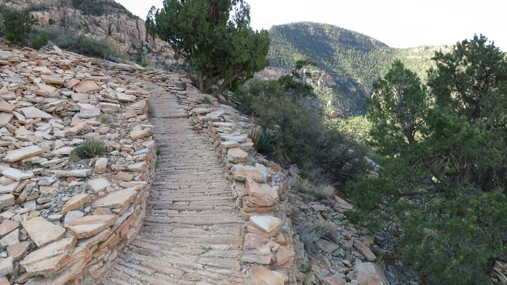
Hermit is the South Rim’s rugged classic: a historic, stone‑worked path that plunges into big western views with a fraction of the crowds. It’s demanding, remote-feeling, and rewards experienced canyon hikers with solitude, geology you can touch, and a tangible slice of early-park history.
From Hermits Rest to the Colorado River is about 9 miles one way, dropping roughly 4,240 feet from rim to river. The first 2.5 miles lose nearly 2,000 feet via steep, rocky switchbacks—brutal on the knees—before easing slightly. Day hikers often turn around at Santa Maria Spring (2.5 miles down) where there’s a stone shelter and seasonal water; plan 5–8 hours round trip for that outing. Rim-to-river and back is an expert-level push that commonly takes 9–12 hours and is not recommended as a day hike.
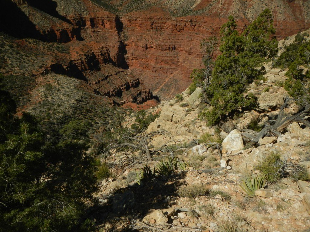
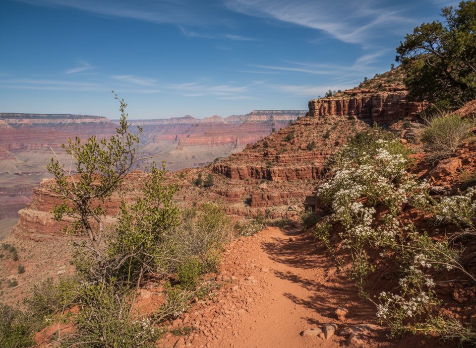
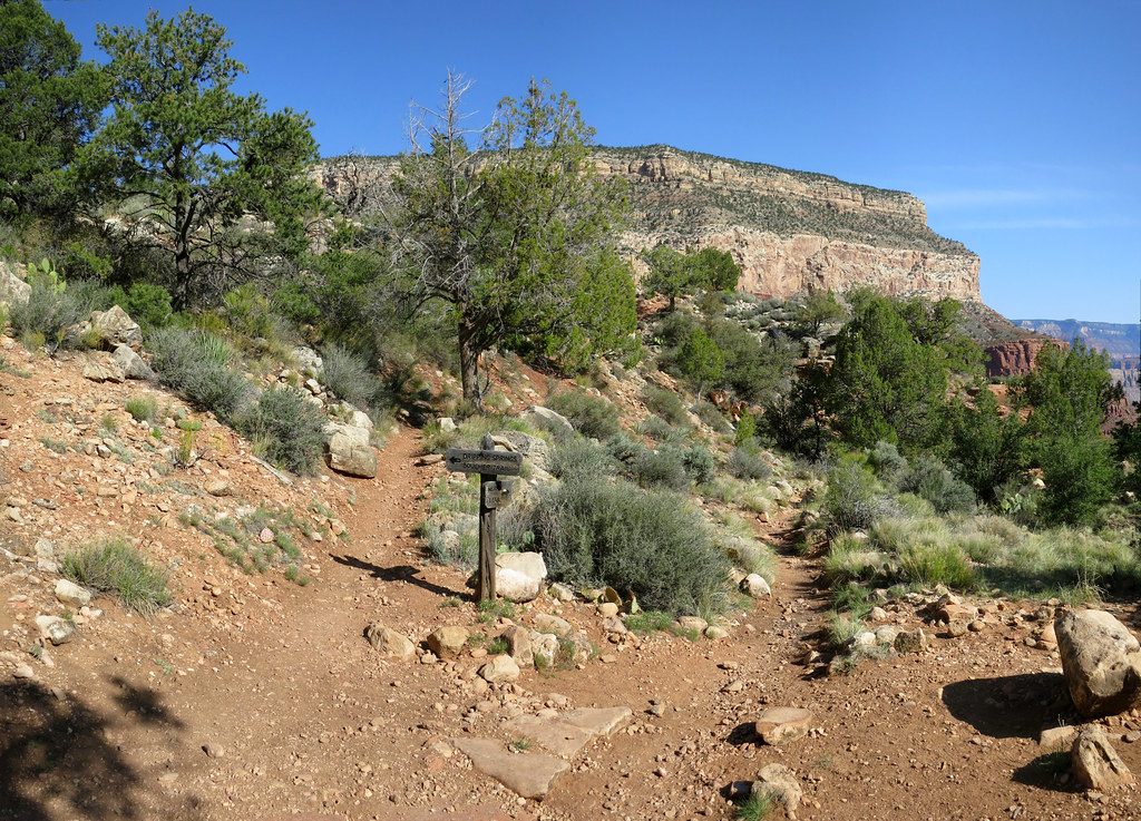
This is not maintained to corridor-trail standards. Expect eroded tread, big rock steps, occasional rockslides, and short bits of scrambling, with a few narrow, exposed sections where a fall could be serious. Intersections are signed, but slides can obscure the path—pay attention. Treat all water: Santa Maria Spring (reliable/seasonal) and Hermit Creek (about 7 miles down, near the backcountry campground) are the primary sources.
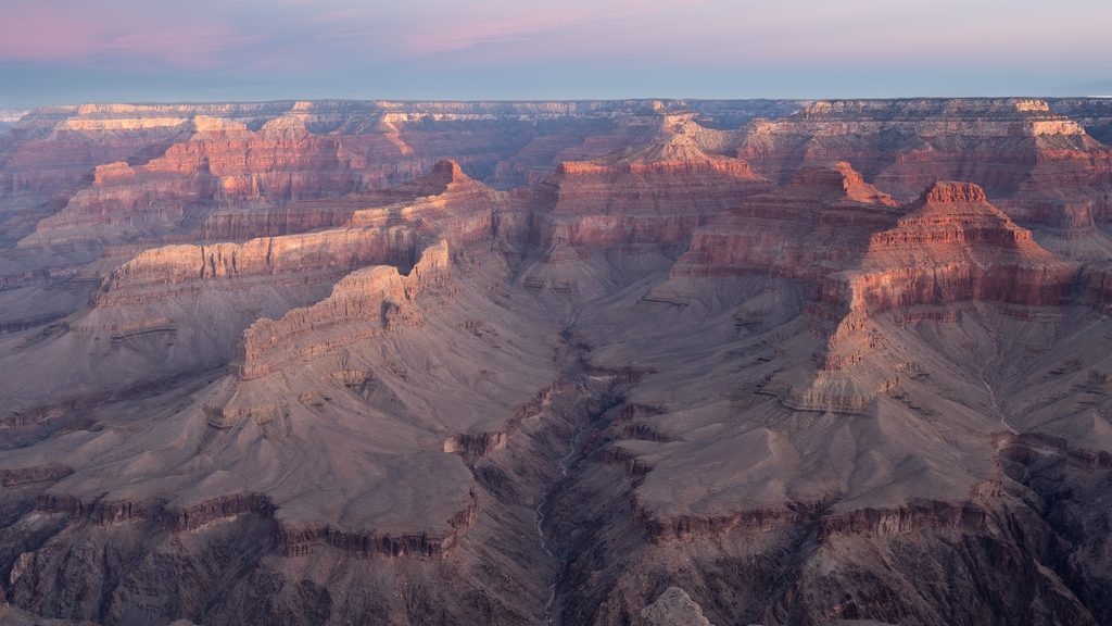
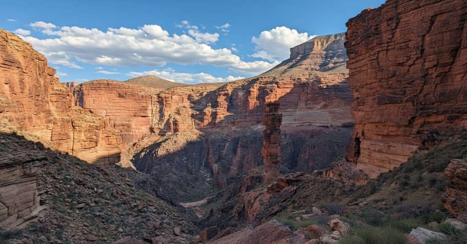
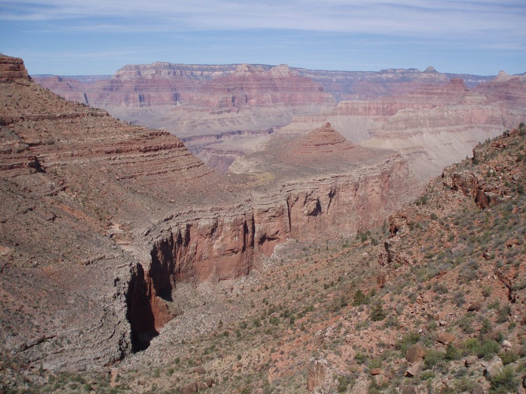
The views open wide almost immediately and only get better as the rock layers stack around you. You’ll descend through classic Grand Canyon strata—Kaibab Limestone, Coconino Sandstone, Hermit Shale and more. Watch for fossilized animal tracks in the lower Coconino. You’ll also walk on stretches of the original 1911 hand‑paved stone trail, a showpiece built for early luxury tourism that once linked to the now‑vanished Hermit Camp near Hermit Creek.
Bring poles for the big steps, solid boots, sun protection, layers, and a reliable treatment method for water. Pace yourself—down is fast and deceptive; the climb out is long, hot, and unforgiving. If you want an easier, better‑maintained introduction below the rim, corridor routes like Bright Angel fit the bill; if you’re set on Hermit, Santa Maria Spring is a smart first objective. Backpackers need a permit for Hermit Creek or river camping.
Spring and fall offer the most forgiving temperatures. Summer brings extreme heat below the rim—start very early and manage exposure. In winter, expect ice and snow on the upper switchbacks; traction can be essential.
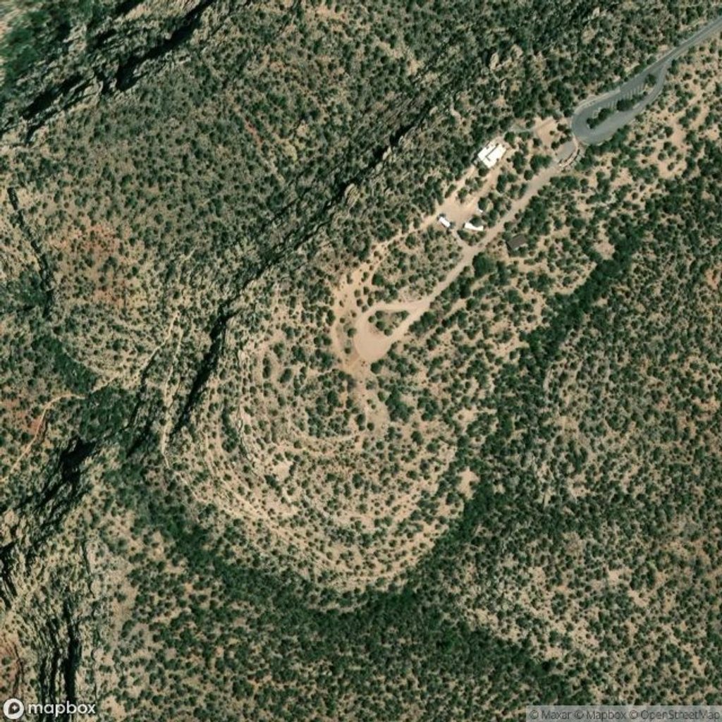
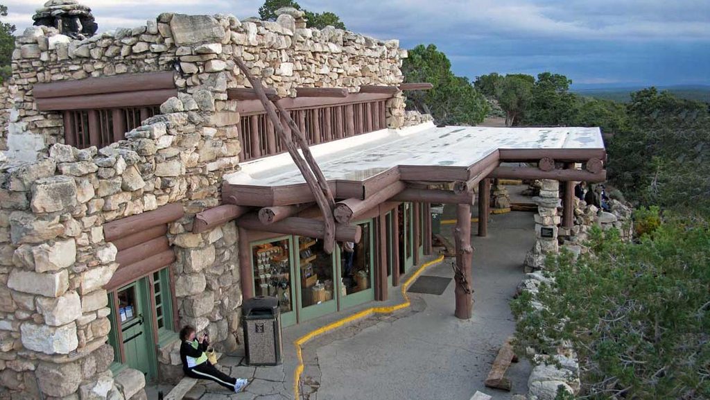
Park at Hermits Rest (end of Hermit Road); the trail starts beside the viewpoint area.
Very strenuous, exposed trail with steep switchbacks, eroded tread, and rockslides. Extreme summer heat; winter ice on upper sections. Limited natural water (must treat). Navigation can be obscured by slides. NPS discourages rim‑to‑river as a day hike. Permits required for overnights.
Place · 0 mi away
Place · 0 mi away
Place · 0.5 mi away
Place · 1 mi away
Challenging · 0 mi away
Challenging · 0 mi away
Challenging · 0 mi away
Challenging · 0 mi away

Parkwolf Tour Guide
