
Place · 3.9 mi away
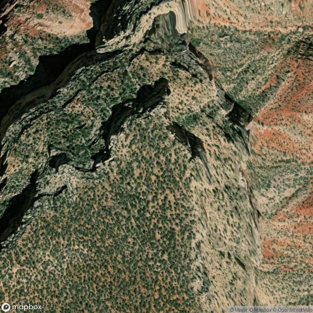
Jicarilla Point is a remote, undeveloped overlook on the North Rim, reached from Boundary Road and a faint old road before a short scramble to the rim. The point sits on a big limestone block easing away from the edge, putting you right above dramatic drops with vast, quiet canyon country around you.
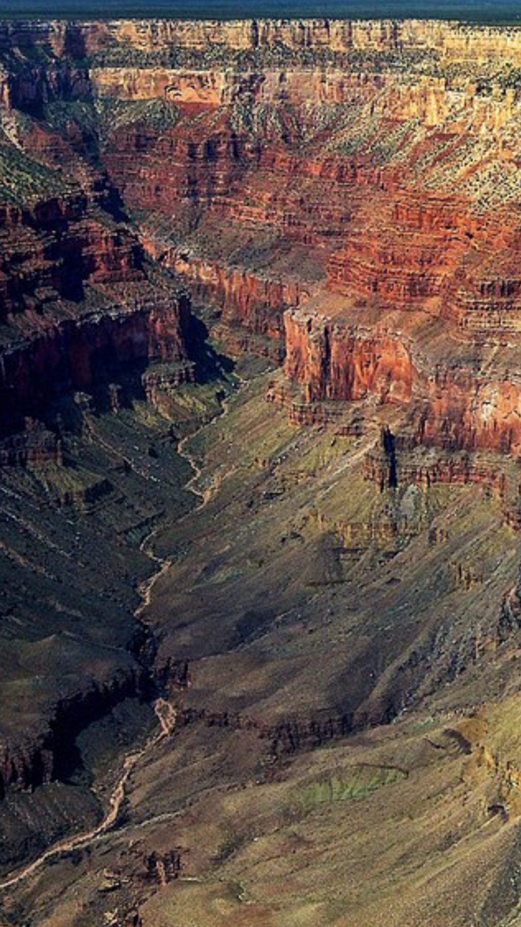
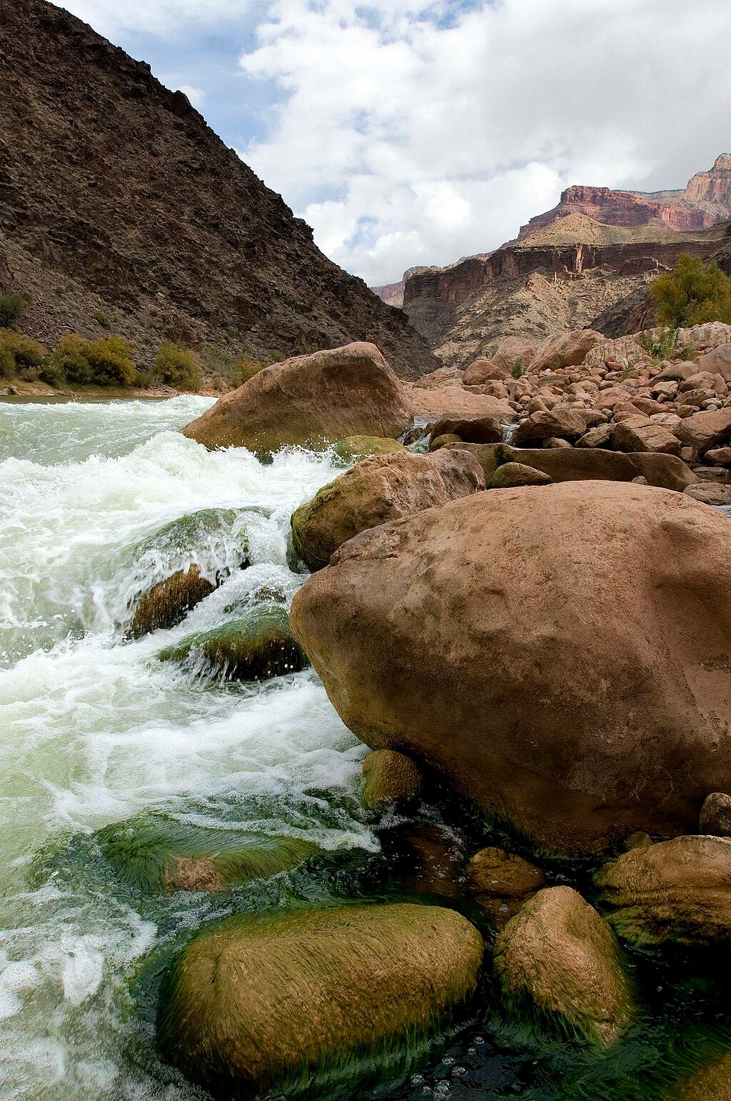
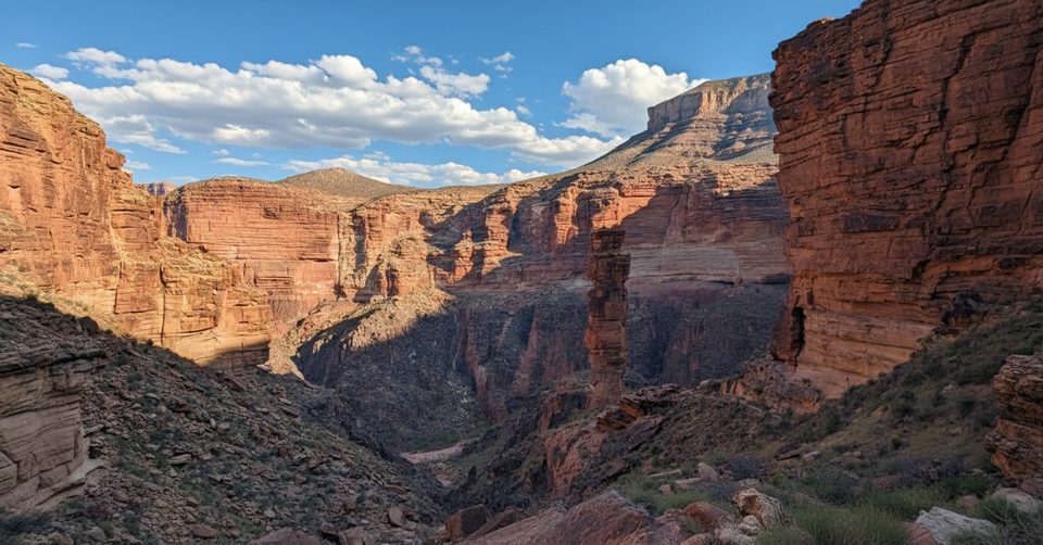
Expect wide-open views that few people experience: sightlines to Pollux Temple and nearby buttes, the red-walled side canyons of Sapphire Canyon and Slate Creek, and a long stretch of the Colorado River where rapids shimmer below. Downstream, the inner granite gorge reveals itself as the river bends north.
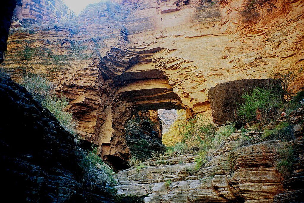
Just west of the point, Jicarilla Bridge—a natural stone arch—can be seen with careful scrambling to the cliff edge. Below the point on a “sky island,” there are petroglyph panels on both west and east sides. Enjoy them with your eyes only—do not touch or disturb rock art.
There are no signs, no guardrails, and no official trail. From Boundary Road, locate the old, unmaintained track heading toward the rim; when it peters out, descend into a ravine and climb out toward the point. A large cairn marks the descent ravine. Navigation skills matter here, and the approach is slower and rougher than it looks on a map. You’ll likely have the viewpoint to yourself.
Important: stop your vehicle before the park boundary fence/sign and continue on foot past the boundary.
The terrain is exposed with loose rock, undercut edges, and big fall potential. There’s no water, shade is limited, and help is far away. Bring ample water, sun protection, sturdy footwear, and tell someone your plan.
With so little traffic, you may spot typical North Rim inhabitants—mule deer, small mammals, and raptors riding thermals over the cliffs. Scan the slopes and ledges with binoculars.
Go on clear weekdays for maximum solitude. Give yourself generous daylight for route-finding and the return hike. Golden hours (sunrise and sunset) make the temples glow and add depth to the river corridor, but avoid lingering at cliff edges in strong winds. Summer midday heat is harsh; start early.
Place · 3.9 mi away
Place · 4.2 mi away
Place · 5.2 mi away
Place · 5.7 mi away
Challenging · 5.8 mi away
Challenging · 6.5 mi away
Challenging · 6.5 mi away
Challenging · 6.5 mi away

Parkwolf Tour Guide
