
Place · 1.8 mi away
Challenging
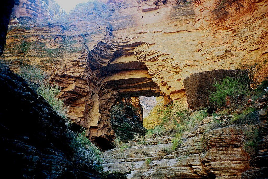
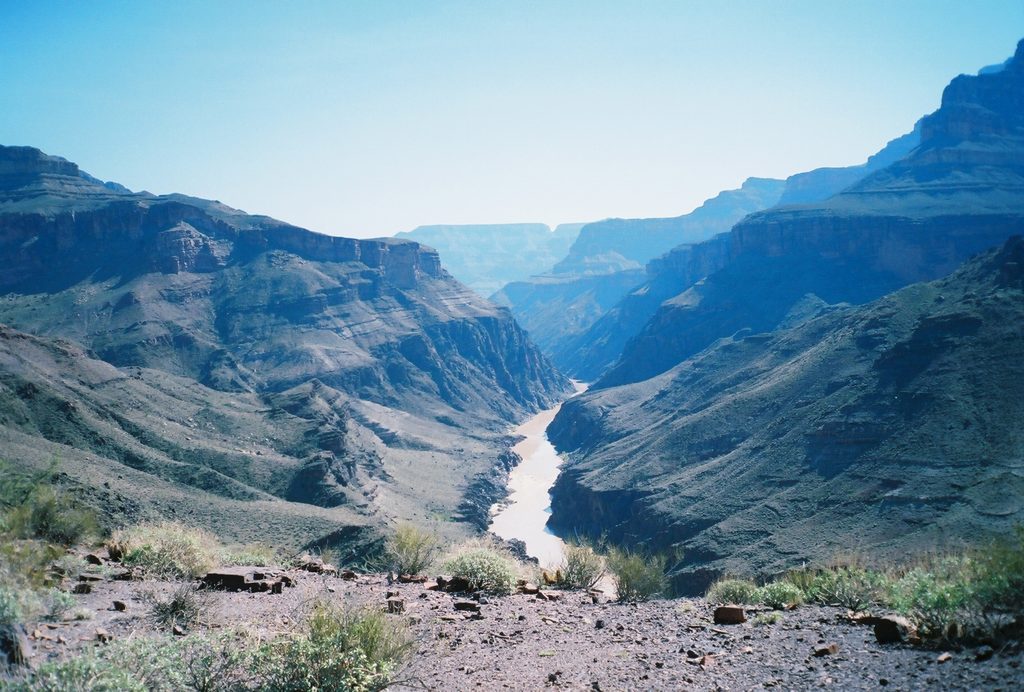
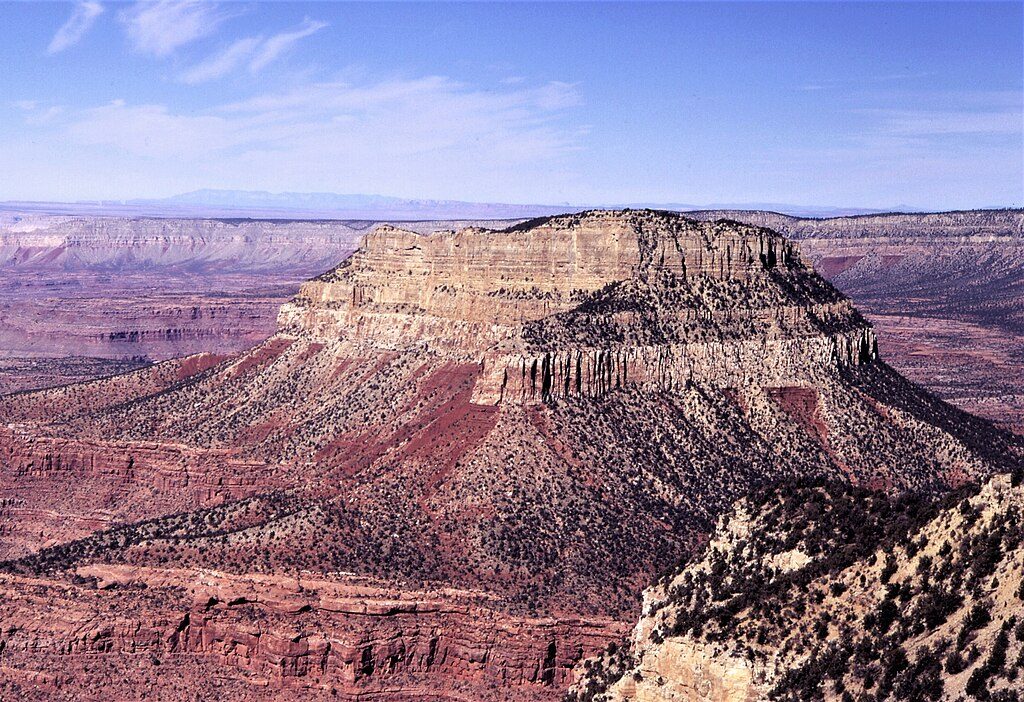
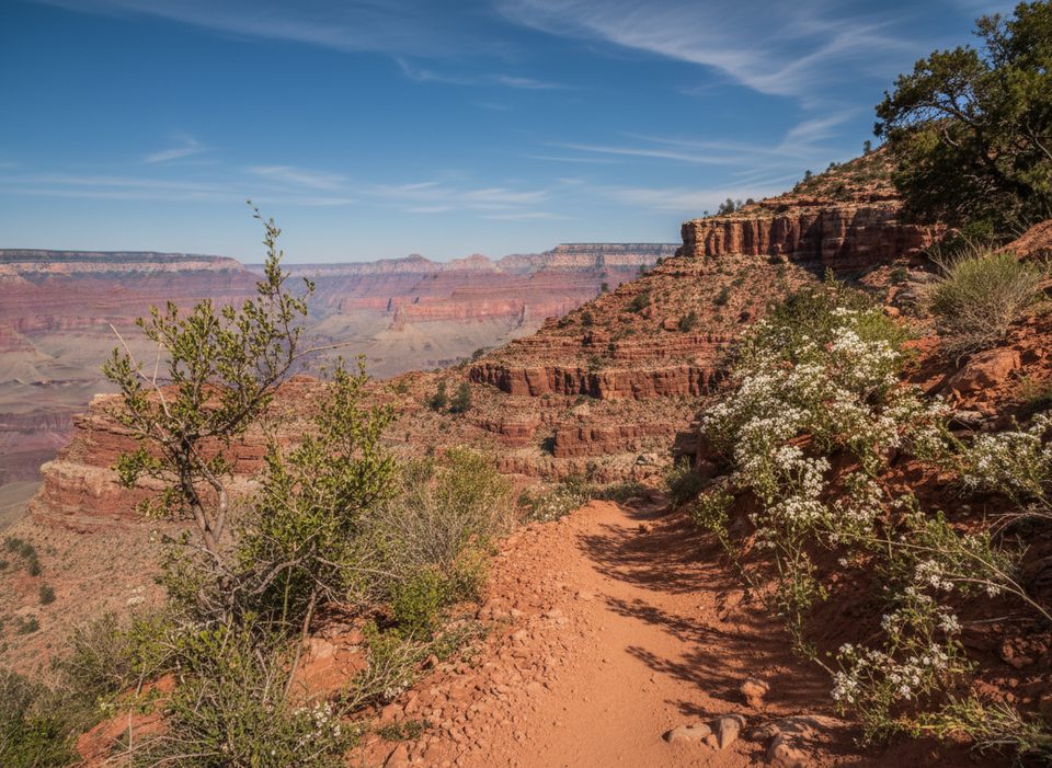
This is the park’s serious backcountry classic: a remote, strenuous, and partly technical loop that starts and ends at the South Bass Trailhead. Expect true solitude, canyon‑scale scenery, and a healthy dose of problem‑solving. The route drops nearly a vertical mile from the South Rim to the Colorado River and winds through layers of Kaibab, Coconino, Redwall, and down into the ancient granite near the river. It’s typically done clockwise via the Esplanade into Royal Arch Canyon, past the namesake span, down to the river, then back via the Tonto Trail and South Bass Trail.
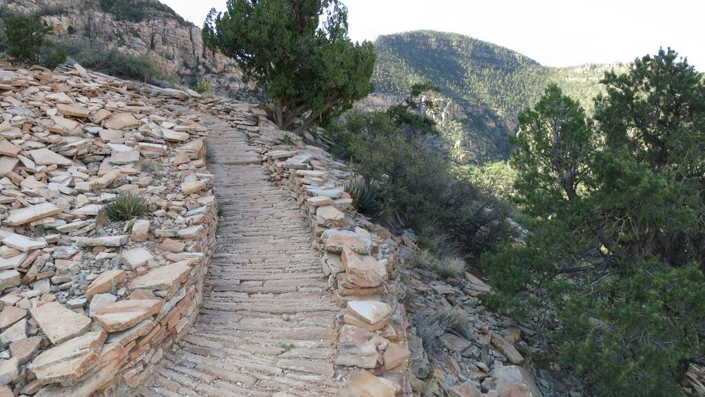
Plan for roughly 32 miles total on the standard loop, though variants can change that. This is not a corridor trail: you’ll encounter indistinct tread, class 3–4 scrambling, exposure, and a mandatory ~20‑foot rappel near the river with no guarantee of fixed anchors. At least one person in your group needs the skills and gear to rig and execute that safely. Navigation is only partially marked—bring maps, GPS, and the experience to use them.
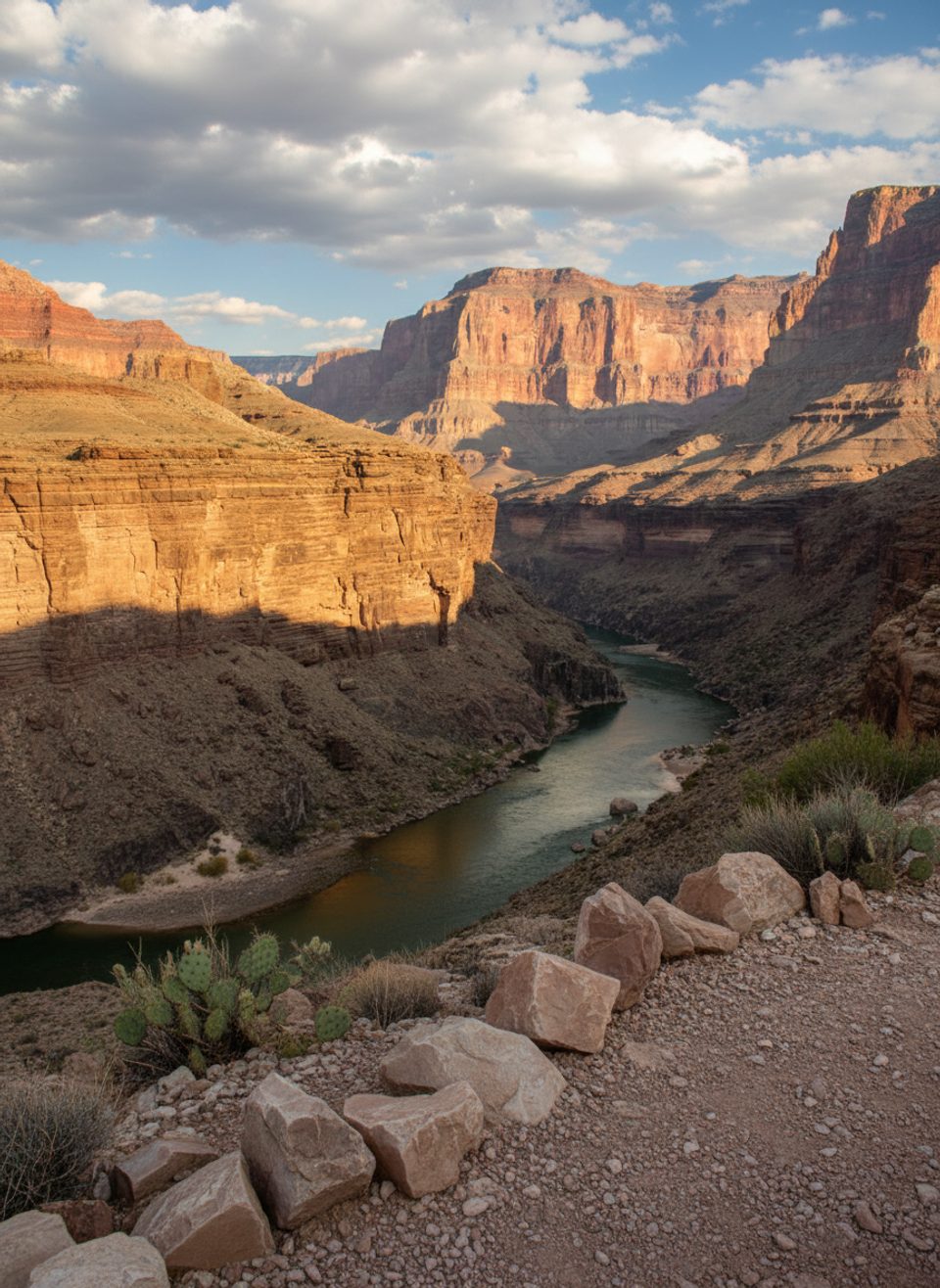
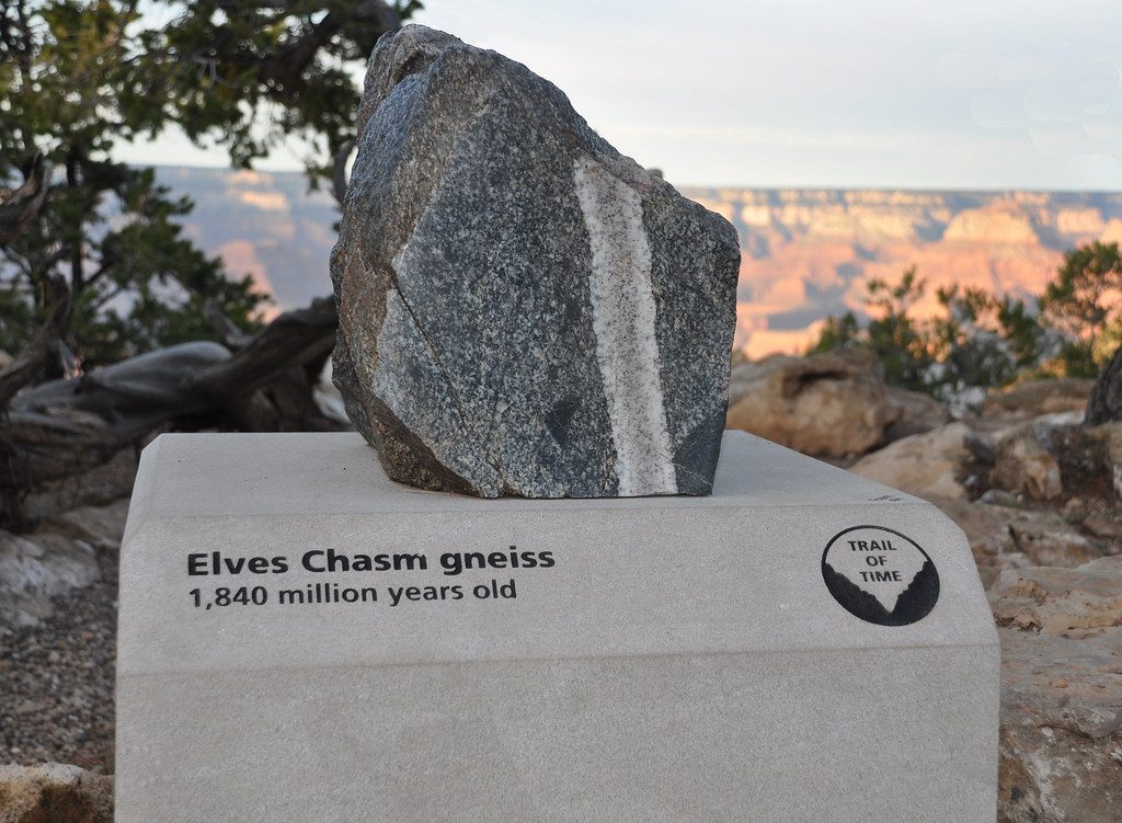
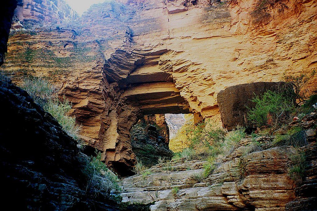
Scenery is the payoff. Royal Arch itself—often cited as the largest natural bridge in the canyon—sits in a dramatic alcove of stone and greenery. Reaching the Colorado at Toltec Beach delivers intimate river time framed by sheer walls, and a short, rough side trip leads to Elves Chasm, a lush grotto with a waterfall and emerald pool. You’ll traverse classic benches, Redwall breaks, and the black‑walled inner gorge.
Water is the crux. Reliable options are scarce: the Colorado River, a spring in Royal Arch Canyon (seasonal and located down the drainage beyond the turnoff—plan the detour), and Elves Chasm on the side trip. Carry ample capacity and treat everything. Expect long dry stretches and build your itinerary around where you’ll drink, not where you wish you could camp.
Camping is dispersed at well‑known spots like the Esplanade, in Royal Arch Canyon, near the river, and along the Tonto. All overnight trips require a backcountry permit. The approach road itself is part of the challenge: reaching South Bass Trailhead typically takes 1.5–2 hours on rough dirt, sometimes impassable after rain or snow; a high‑clearance vehicle is recommended.
Best time to hike: March–April and October–November bring cooler temps and more manageable water logistics. Summer is dangerously hot with little shade or water. Winter can mean snow or ice on the rim and muddy, undriveable access roads. Go prepared for everything from scorching sun to cold nights, and be flood‑aware in narrow drainages.
Bottom line: for highly experienced, well‑equipped backpackers, this loop is a bucket‑list adventure—remote, technical, and visually unforgettable. For beginners or anyone lacking rappelling and off‑trail navigation skills, pick an easier route.
Park at South Bass Trailhead; access via 1.5–2 hours of rough dirt road. High‑clearance recommended; road can be impassable after rain or snow. No services.
Extremely remote, strenuous route with complex navigation, exposure, and a mandatory ~20‑foot rappel near the river. Anchors may not exist—bring gear and skills. Water is scarce; plan long carries and detours. Watch for rattlesnakes and flash floods. Heat and cold can be severe. Access road may be impassable in wet or winter conditions.
Place · 1.8 mi away
Place · 1.9 mi away
Place · 4.5 mi away
Place · 4.5 mi away
Challenging · 11.2 mi away
Challenging · 11.3 mi away
Challenging · 12 mi away
Challenging · 12 mi away

Parkwolf Tour Guide
