Challenging

North Bass Trail

The canyon’s wildest rim-to-river route for expert backpackers
North Bass Trail, Grand Canyon National Park
Distance14 mi
Typical time20 hr
DifficultyChallenging
PetsNot allowed

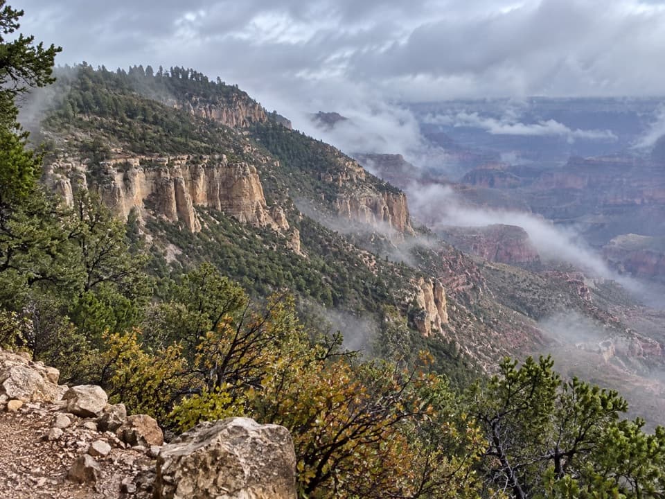
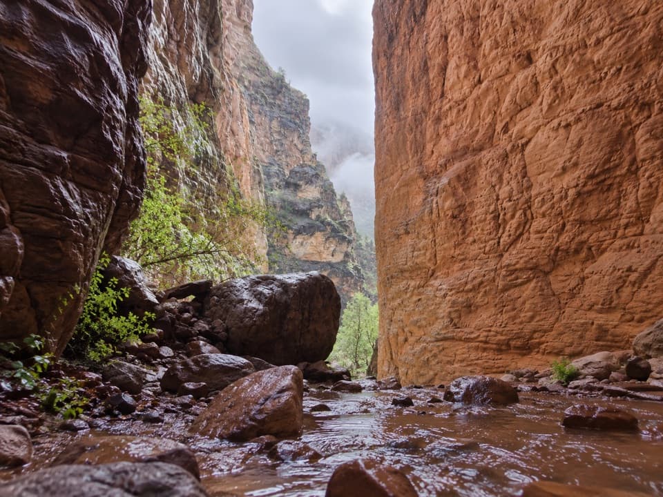
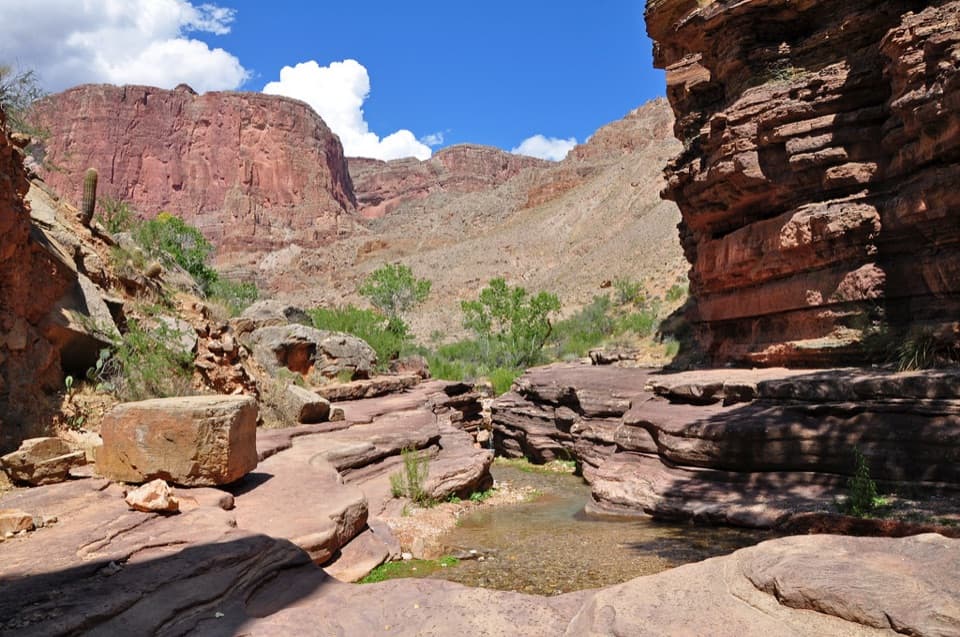
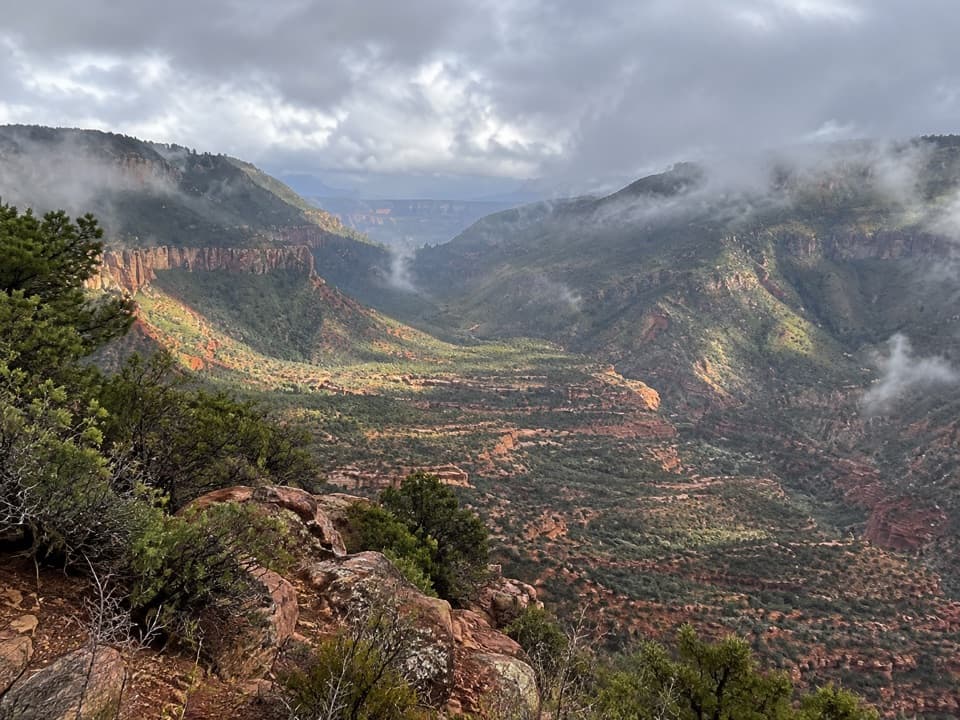
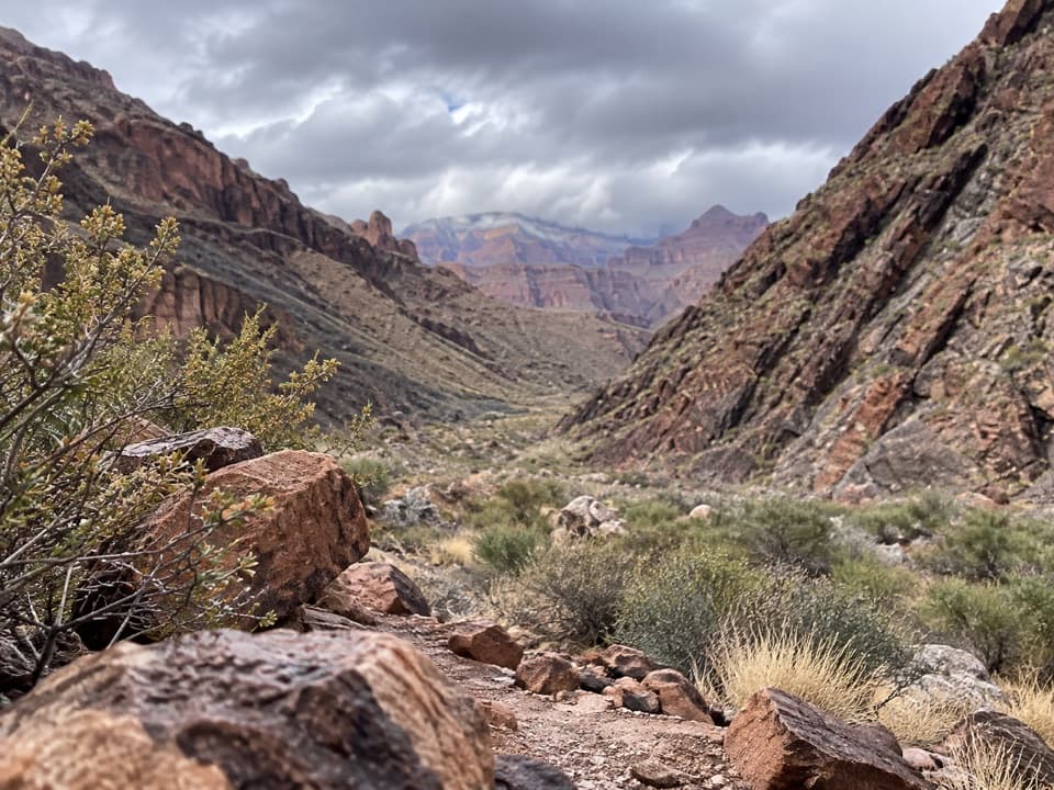
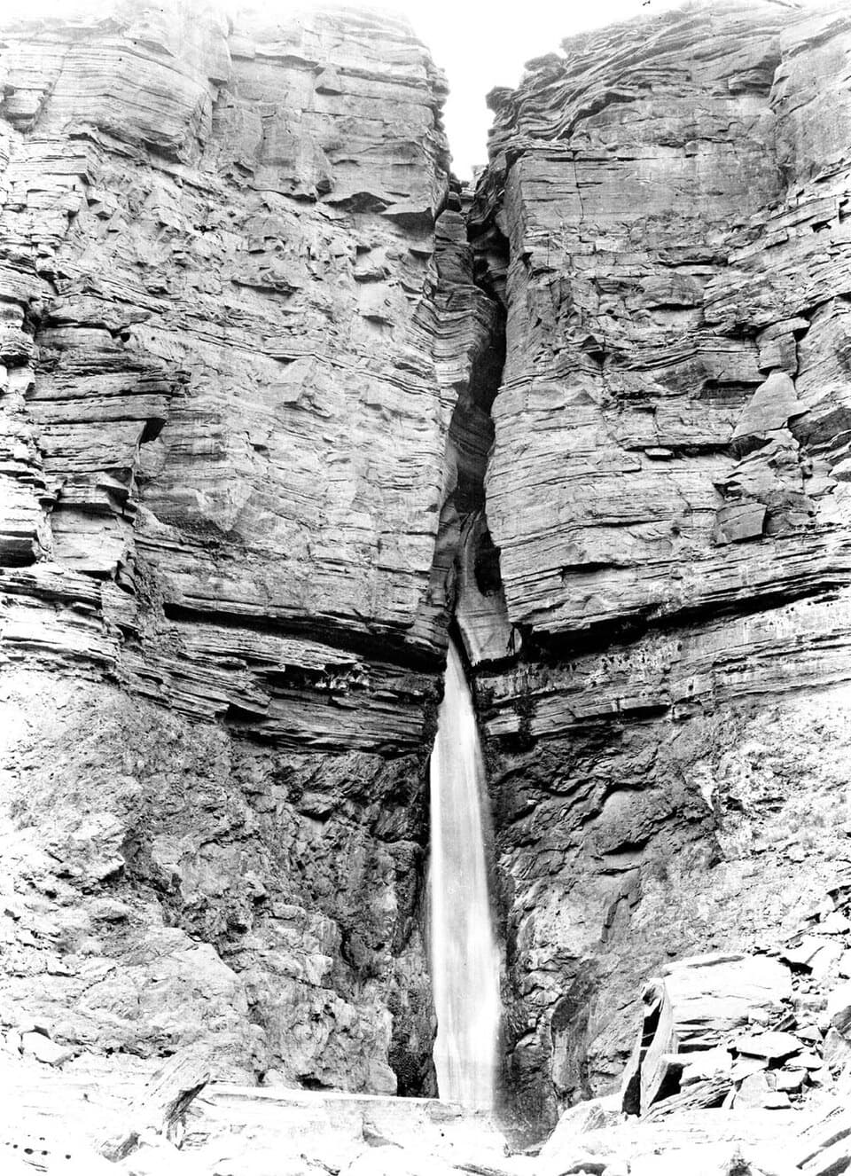
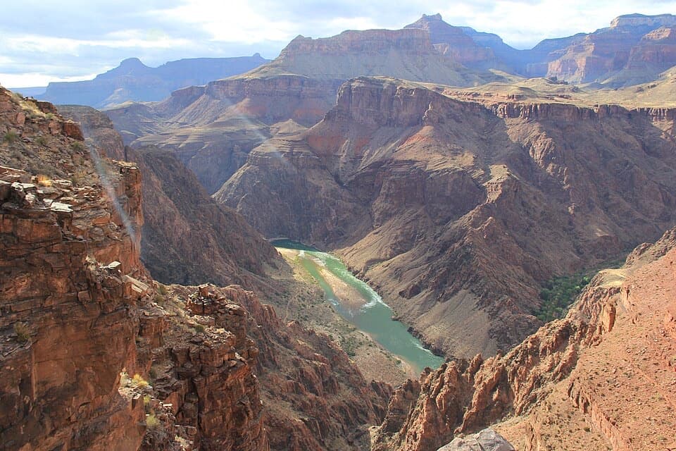
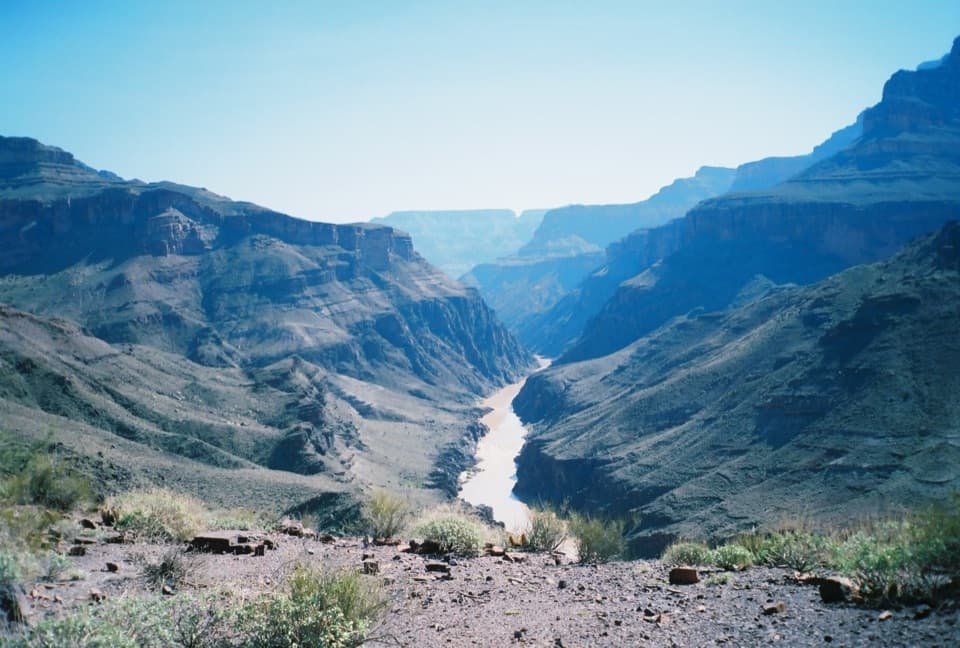
If you want remote, rugged, and historic Grand Canyon, this is it. North Bass drops from the quiet North Rim into a world of towering cliffs, colorful layers, and deep solitude—built in the late 1890s by William Wallace Bass and still very much a backcountry experience. Expect classic canyon vistas, a brushy plunge through White Creek’s Redwall narrows, the open Tonto Platform, and a lush finale along Shinumo Creek near the Colorado. You’ll likely see more fossils than hikers.

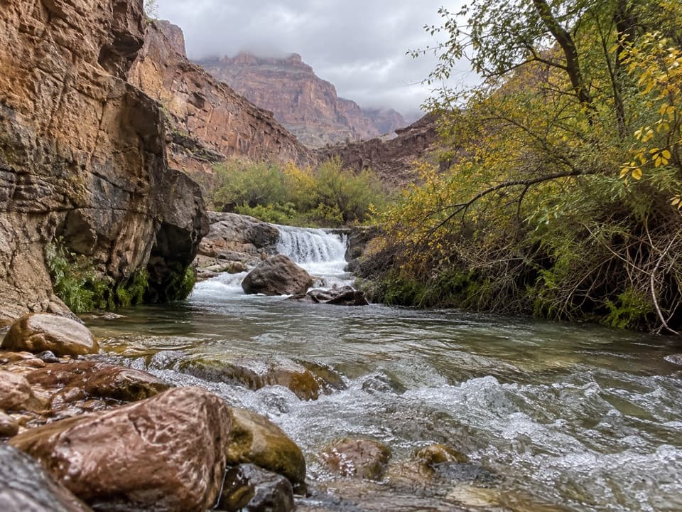
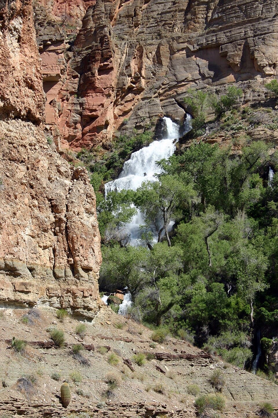
Route snapshot: From Swamp Point (~7,500 ft), the trail quickly switchbacks about 800 ft in 0.75 mile to Muav Saddle (historic Teddy’s Cabin nearby), then descends steeply into the White Creek drainage. Much of the middle section is tedious creekbed travel with brush, bypasses around Redwall pouroffs, and bits of scrambling. Past the Tonto Platform, a steep descent leads to Shinumo Creek—often the trip’s sweetest camp and most reliable water. It’s roughly 14 miles one way from rim to river; most parties take 4–5 days round trip.

Difficulty and hazards: This is among the park’s hardest main routes—steep, loose, brush-choked, and slow. Route-finding matters where the tread disappears in creekbeds or around pouroff bypasses, and sections of the original upper trail were washed out and re-routed. Summer heat in the lower canyon is brutal; winter can bring snow/ice up high. There is no bridge or ferry at the river here—plan to return the way you came.

Water and logistics: Shinumo Creek is typically the most reliable source; White Creek is highly variable and may be intermittent or dry. Treat all water. Plan conservative carries and consider caching water on the rim. Overnight trips require a Grand Canyon backcountry permit.

Access: The trailhead at Swamp Point is reached via roughly 18 miles of remote U.S. Forest Service roads—high-clearance (4WD preferred) and dry-road conditions recommended; these roads can be impassable when wet. Pets aren’t allowed below the rim on inner-canyon trails.

Geology and vibe: You’ll walk a living geology lesson—Kaibab Limestone down through Coconino Sandstone, the Redwall’s narrow cuts, and Tapeats Sandstone near the bottom. The isolation is real; carry a satellite communicator, have the fitness to back it up, and budget extra time. Best seasons are spring (April–early June) and fall (late September–October) for milder temps and better water odds.

Bottom line: For seasoned, self-reliant canyon backpackers, North Bass is a hard-earned prize—historic, uncrowded, and unforgettable. For everyone else, it’s a sufferfest in the wrong season.

Pros

  • Historic touches like Teddy’s Cabin and the original Bass route legacy
  • Reliable water and shaded respite at Shinumo Creek compared to the arid upper canyon

Cons

  • Overgrown, slow creekbed travel in White Creek with frequent bypasses
  • Long, rough, high-clearance access roads that can be impassable when wet
  • Highly variable water outside Shinumo Creek forces big carries or caches

Parking

Park at Swamp Point/North Bass Trailhead at the end of remote USFS roads; high-clearance recommended and roads may be impassable when wet.

Caution

Extremely strenuous, remote, and brushy; expect route-finding in creekbeds, loose footing, exposure, long dry stretches, and intense summer heat. No bridge at the river. Overnight permit required. Carry a satellite communicator and verify water conditions before committing.

The Parkwolf tour guide sitting on a phone mounted in a car

Parkwolf Tour Guide

Like a tour guide in your car.

Bring Grand Canyon trail research into the car, with offline maps and stories that play as you drive.Download Parkwolf on the App Store