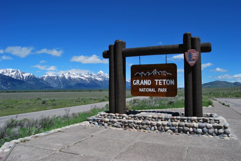
South Boundary Turnout in Grand Teton National Park

Scenic pullout · Grand Teton National Park

South Boundary Turnout

A quick sign photo, framed by the Tetons and sagebrush flats.

Photo: Wikimedia Commons
Type
Scenic pullout
Nearest trail
4.1 mi
Audio stories
2 nearby
  • Pullout
  • Parking
  • Scenic viewpoint
  • Exhibit

Hear the audio tour

A Forest Starts on Bare Ground

Overview

About South Boundary Turnout

Why stop

  • The park sign and Teton Range share one easy roadside stop.

Heads up

  • Cloud can hide the mountains, and the highway can enter the frame.

Map

Where it is

Loading the Grand Teton map
Full map
Scenic pulloutSouth Boundary Turnout43.54661, -110.73290
Keep this map with you offline in the Parkwolf app

Plan your stop

Before you go

2 active Grand Teton alerts

  • ClosureConstruction closures and delaysConstruction is causing current road and area closures and delays across Grand Teton; use the signed Taggart Trail detour. - Moose-Wilson Road is closed between Moose and Laurance S.Official details
  • ClosureJackson Lake boat ramps closed; Signal launch riskColter Bay and Leeks boat ramps are closed; Signal Mountain Boat Ramp is open, but water is below the ramp edge and loose cobbles make launching risky.Official details

Grand Teton alerts
A park ranger sits on a dash-mounted phone, talking, as Parkwolf’s Tour Guide plays “Army Cutworm Moths: A Grizzly Bear Buffet” on Grand Loop Road below Dunraven Pass in Yellowstone
Parkwolf Tour GuideThe highest, rockiest slopes around here are a summer buffet for grizzly bears.

Grand Teton Tour Guide

Your drive to South Boundary Turnout, narrated.

Parkwolf is a GPS audio tour guide for Grand Teton National Park. As you drive, it chimes in with what’s ahead: hidden gems, upcoming stops, history, geology, and wildlife, right through your car’s speakers.

See the Grand Teton audio tour

Recorded for this area

A Forest Starts on Bare Ground
0:00 / 0:31
“For a cottonwood seed, a flood can create a place to grow. High water clears competing vegetation and leaves fresh sediment behind. As the river drops, moist, sunny ground gives the seed a chance to sprout.”

Plays on the road 0.7 mi from South Boundary Turnout in the Parkwolf Grand Teton Tour Guide.

More stories near here in the app

  • The Bluebird’s Hovering Hunt
  • Beach Sand on Mount Moran
  • How Frost Breaks a Mountain
  • A Trout’s Gravel Nursery
  • 118 audio storiesacross Grand Teton’s roads, triggered by GPS as you drive
  • Wildlife heatmapsfor Grizzly Bear, Brown Bear, Gray Wolf, and 13 more
  • Works offlinemaps, 70 trails, 121 places, and audio download before you lose signal
  • CarPlay readysimple controls built for the drive
★★★★★
“…We have been driving around with the audio tour and it has been informational and spot on. The whole family has been impressed. We used it for Yellowstone and Grand Teton.”
KWaz1122App Store review
Download Parkwolf on the App StoreGet Parkwolf on Google Play

4.7 from 8,600+ ratings

Guide

More about South Boundary Turnout

The first sign photo from JacksonSouth Boundary Turnout is a roadside pullout about four miles north of Jackson, where the Grand…

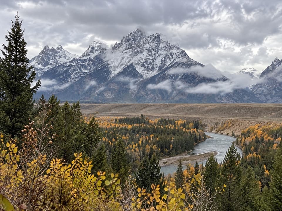
South Boundary Turnout is a roadside pullout about four miles north of Jackson, where the Grand Teton National Park sign faces the Teton Range. It is the first park-sign photo stop on the drive north from town, and a quick way to get the classic sign-and-peaks frame. The highway can edge into the scene, and low cloud or rain can hide the mountains, so the payoff depends on visibility.

Look beyond the signAfter the photo, take in the full view.

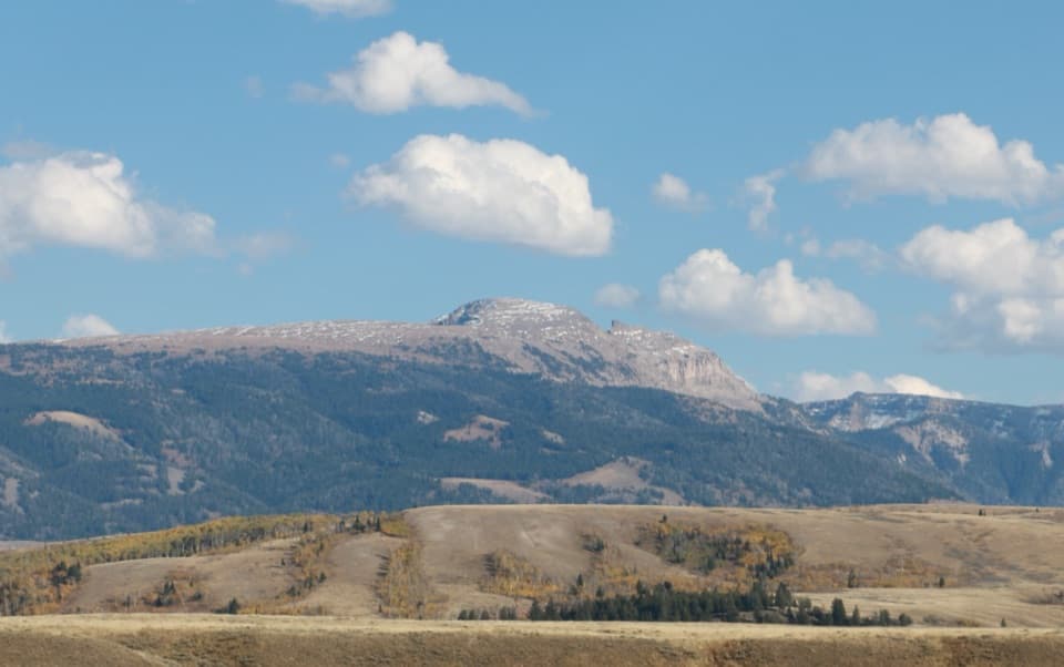
After the photo, take in the full view. From the sign, sagebrush flats stretch across Jackson Hole beneath the sharp rise of the Tetons; the Absarokas sit to the north and the Gros Ventre Range to the east. The broad view makes this more than a sign-only stop, especially when the ranges are clear.

A pullout, not the park gateFollow US 89/191/26 about four miles north from Jackson.

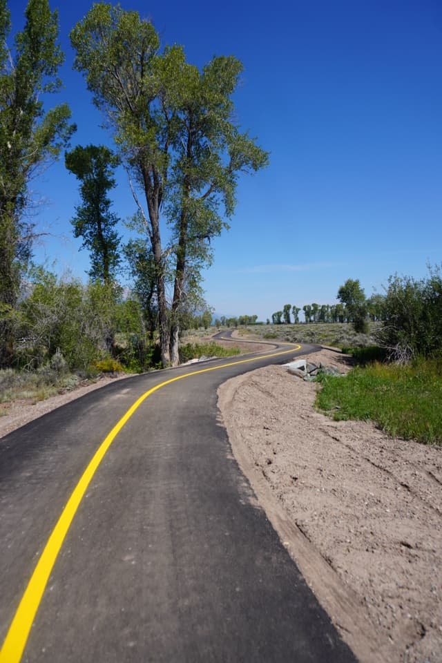
Follow US 89/191/26 about four miles north from Jackson. A multi-use pathway runs alongside the turnout, and the National Park Service lists interpretive exhibits and wheelchair accessibility here. The name is easy to misread: this is not the actual southern boundary or an entrance station. You reach entrance stations by turning at Moose or Moran Junction. Visitors report anything from no wait to a short photo queue, so allow a little flexibility if several cars arrive together.

Wildlife

Wildlife in Grand Teton

All Grand Teton wildlife maps

Sighting maps show where each species has been reported across Grand Teton. Wildlife moves, so no sighting is guaranteed.

Parkwolf’s Grand Teton ranking

Top sights in Grand Teton

All 121 places
  1. 1Grand TetonSight
  2. 2Schwabacher LandingSight
  3. 3Oxbow Bend TurnoutSight
  4. 4Mormon Row Historic DistrictSight
  5. 5Snake River OverlookSight
  6. 6Hidden FallsSight

Take Parkwolf to Grand Teton.

The audio tour guide for the drive, plus offline maps, trails, and wildlife heatmaps for when the signal drops.

4.7 from 8,600+ ratings

Download Parkwolf on the App StoreGet Parkwolf on Google Play