Grand Teton Pathway in Grand Teton National Park

Grand Teton National Park, WY

Grand Teton Pathway

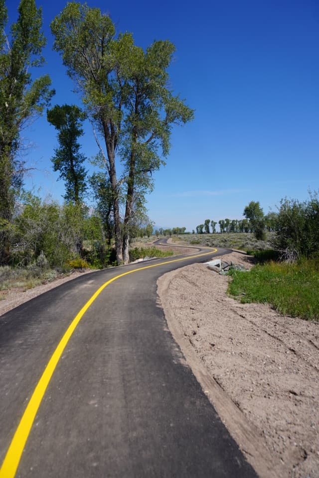
A long, paved valley path from Jackson to South Jenny Lake.

Photo: Public Domain
Length
20.5mi
Time
7hr
Elev. change
577ft
Difficulty
Easy
  • No dogs
  • High point 6,798 ft
Parkwolf audio tour118 stories across Grand Teton’s roads

Overview

About Grand Teton Pathway

Why go

  • Smooth pavement and gentle grades across the valley
  • Six access hubs make shorter sections possible

Heads up

  • The full route is a 20.5-mile one-way commitment
  • Long stretches follow highway and park-road corridors

Map & elevation

The route

Loading the Grand Teton map
Full map
Elevation6,220–6,798 ft
TrailheadMercill Avenue / US 89 Pathway Access, Jackson43.49091, -110.76173
Keep this map with you offline in the Parkwolf app

Plan your hike

Before you go

Parking

The southern pathway access is at Mercill Avenue and US 89 in Jackson. NPS lists parking and bike racks at Gros Ventre Roundabout, Blacktail Butte, Dornan's, Moose, Taggart Lake and Jenny Lake. Arrange a pickup or second vehicle for the one-way crossing.

Safety

The park pathway is closed from dusk to dawn. The Jackson–Gros Ventre section has a seasonal elk-migration closure, so confirm current access dates before planning the full route. Pets are prohibited except guide dogs used to assist a person with a disability.

2 active Grand Teton alerts

  • ClosureConstruction closures and delaysConstruction is causing current road and area closures and delays across Grand Teton; use the signed Taggart Trail detour. - Moose-Wilson Road is closed between Moose and Laurance S.Official details
  • ClosureJackson Lake boat ramps closed; Signal launch riskColter Bay and Leeks boat ramps are closed; Signal Mountain Boat Ramp is open, but water is below the ramp edge and loose cobbles make launching risky.Official details
Grand Teton alerts
A park ranger sits on a dash-mounted phone, talking, as Parkwolf’s Tour Guide plays “Army Cutworm Moths: A Grizzly Bear Buffet” on Grand Loop Road below Dunraven Pass in Yellowstone
Parkwolf Tour GuideThe highest, rockiest slopes around here are a summer buffet for grizzly bears.

Grand Teton Tour Guide

Your drive to Grand Teton Pathway, narrated.

Parkwolf is a GPS audio tour guide for Grand Teton National Park. As you drive, it chimes in with what’s ahead: hidden gems, upcoming stops, history, geology, and wildlife, right through your car’s speakers.

See the Grand Teton audio tour

More stories near here in the app

  • The Bluebird’s Hovering Hunt
  • A Forest Starts on Bare Ground
  • 118 audio storiesacross Grand Teton’s roads, triggered by GPS as you drive
  • Wildlife heatmapsfor Grizzly Bear, Brown Bear, Gray Wolf, and 13 more
  • Works offlinemaps, 70 trails, 121 places, and audio download before you lose signal
  • CarPlay readysimple controls built for the drive
★★★★★
“…We have been driving around with the audio tour and it has been informational and spot on. The whole family has been impressed. We used it for Yellowstone and Grand Teton.”
KWaz1122App Store review
Download Parkwolf on the App StoreGet Parkwolf on Google Play

4.7 from 8,600+ ratings

Trail guide

Hiking Grand Teton Pathway

The full pathway in one goGrand Teton Pathway is a 20.5-mile paved route from Jackson to South Jenny Lake.

Grand Teton Pathway is a 20.5-mile paved route from Jackson to South Jenny Lake. It is one way, not a loop. The path follows US 26/89/191 north to Moose, then Teton Park Road. Walking the whole route takes about seven hours at a steady pace with stops, so arrange a ride at the far end before setting out. Walking back makes it a 41-mile day.

Easy underfoot, long in the legsMost of the route is smooth pavement with gentle grades.

Most of the route is smooth pavement with gentle grades. The steepest grades stay below five percent, with a gradual climb north of the Jackson National Fish Hatchery. The long distance is the challenge here. Much of the path runs beside a road, so expect a valley travel corridor rather than a secluded backcountry trail. For a shorter outing, start at one of the pathway hubs and turn around or arrange a ride between hubs.

Across the sagebrush valleyFrom Jackson, the route crosses open sagebrush steppe with the Teton Range rising above the…

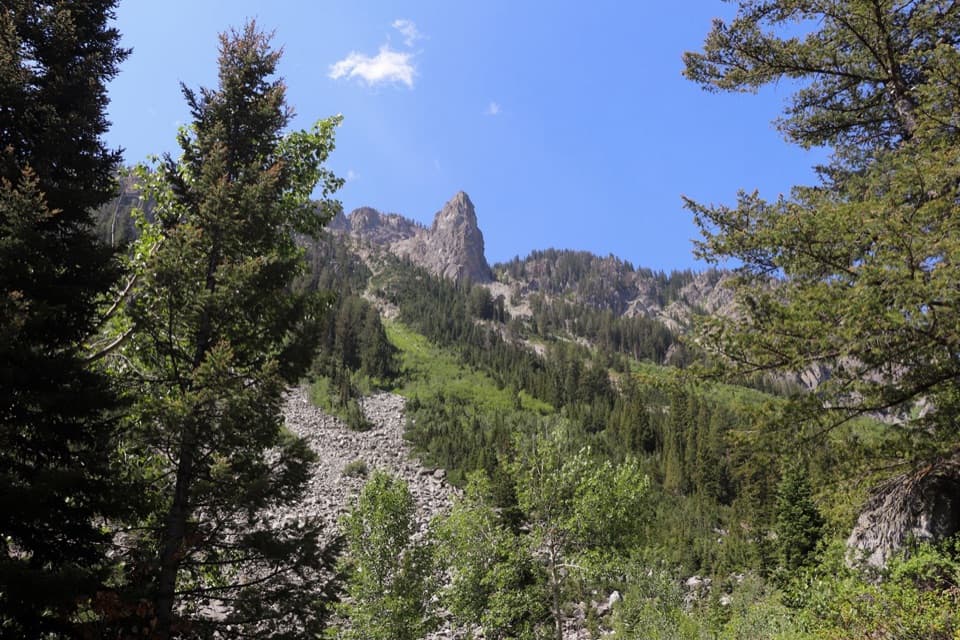
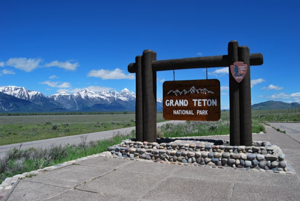
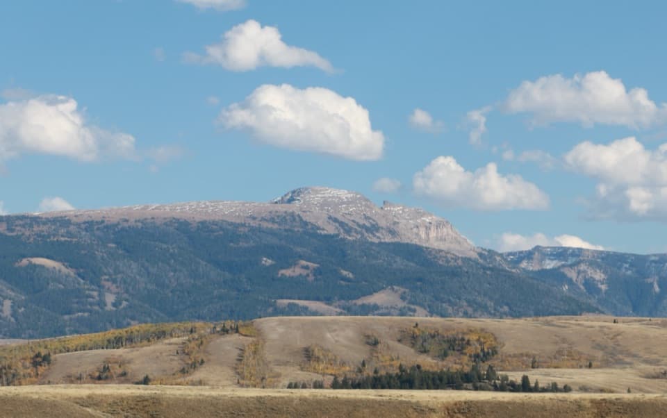
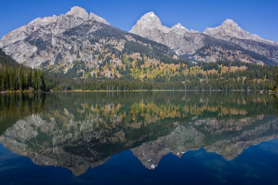
From Jackson, the route crosses open sagebrush steppe with the Teton Range rising above the valley. At Moose it turns north on Teton Park Road and continues toward the South Jenny Lake shoreline. This is a useful way to cover a long stretch of the park on foot or by bike, with an open view of the mountains for much of the way.

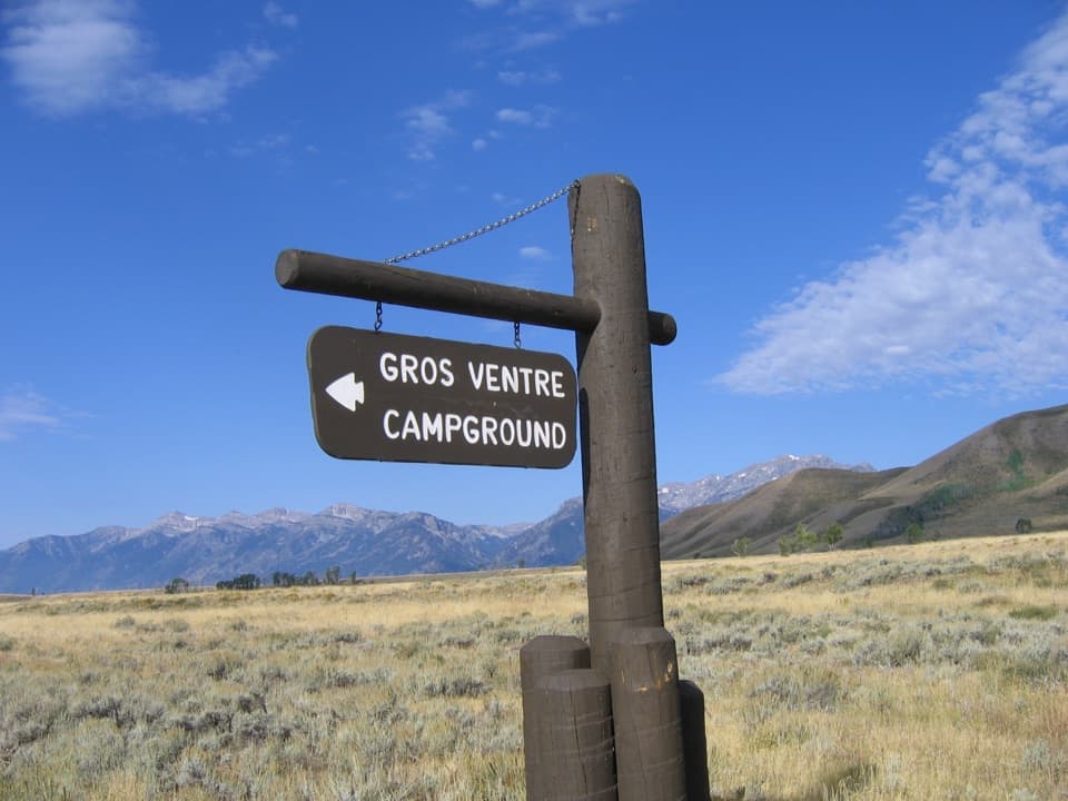
Where to break the tripPathway hubs with parking and bike racks are spaced at Gros Ventre Roundabout, Blacktail Butte,…

Pathway hubs with parking and bike racks are spaced at Gros Ventre Roundabout, Blacktail Butte, Dornan's, Moose, Taggart Lake and Jenny Lake. Visitor centers at Moose and Jenny Lake have restrooms and water. Those are useful service points, but don't count on water or facilities along every stretch.

A safer route through the valleyThe pathway grew from a road-safety campaign after 13-year-old Gabriella Axelrad was killed…

The pathway grew from a road-safety campaign after 13-year-old Gabriella Axelrad was killed while biking on the roadway in 1999. The Moose-to-Jenny Lake section opened in 2009, followed by the rest of the route in 2012. A memorial sign honors Gabriella, and Senator Craig Thomas helped secure federal funding for the pathway.

A tunnel and possible wildlifeAbout three miles from the southern end, an art-lined tunnel gives pathway users a safe passage…

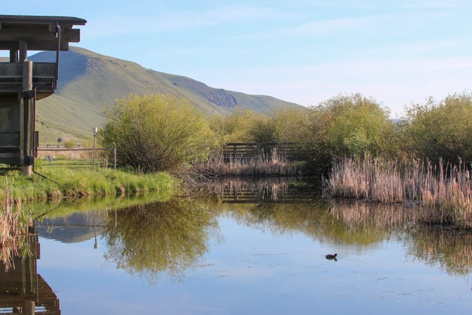
About three miles from the southern end, an art-lined tunnel gives pathway users a safe passage under the highway toward the National Museum of Wildlife Art, which is a separate stop. The route crosses open habitat where elk, moose, pronghorn, bison and eagles may be seen; sightings aren't guaranteed.

Wildlife

Wildlife in Grand Teton

All Grand Teton wildlife maps

Sighting maps show where each species has been reported across Grand Teton. Wildlife moves, so no sighting is guaranteed.

Keep exploring

Near Grand Teton Pathway

See it all on the map

Trails that start nearby

Places near the trailhead

Parkwolf’s Grand Teton ranking

Top-rated trails in Grand Teton

All 70 trails
  1. 1Teton Crest TrailChallenging · 39 mi
  2. 2Paintbrush Canyon - Cascade Canyon LoopChallenging · 19.9 mi
  3. 3Lake Solitude TrailChallenging · 15.1 mi
  4. 4Inspiration Point TrailModerate · 1.8 mi
  5. 5Taggart Lake TrailEasy · 3 mi
  6. 6Delta Lake TrailChallenging · 7.6 mi

Take Parkwolf to Grand Teton.

The audio tour guide for the drive, plus offline maps, trails, and wildlife heatmaps for when the signal drops.

4.7 from 8,600+ ratings

Download Parkwolf on the App StoreGet Parkwolf on Google Play