Overview
Doso Doyabi (also called Bald Mountain) is the rugged neighbor to Wheeler Peak. It rewards experienced hikers with sweeping, high-alpine views—but you pay for them with talus, scree, wind, and tricky route-finding. If you’re comfortable on loose rock and long days above treeline, it’s a worthy add-on; if not, there are friendlier classics nearby.
How to Hike It (and what to avoid)
- Skip the so-called loop: The Da-ek-dow-go-et/Wheeler–Doso “loop” includes a middle section that’s basically not a trail—just unstable scree and loose boulder fields with hard navigation. Multiple trip reports strongly discourage it unless you’re highly experienced on chossy alpine terrain.
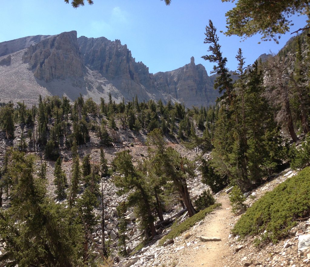
- Better plan: Take the standard Wheeler Peak trail and add a careful out-and-back spur to Doso Doyabi. Expect loose talus, slow going, and strong winds on the ridge. Some variations near Jefferson’s Needle involve hands-on scrambling and “no-fall” terrain—turn back if it’s beyond your comfort.
- Stats to expect: The disfavored loop is posted around 7.4 miles and ~3,600 feet of gain, but feels much bigger due to terrain. The safer Wheeler-plus-spur day can stretch to roughly 11–12 miles and ~4,500 feet of gain depending on your line.
What You’ll See
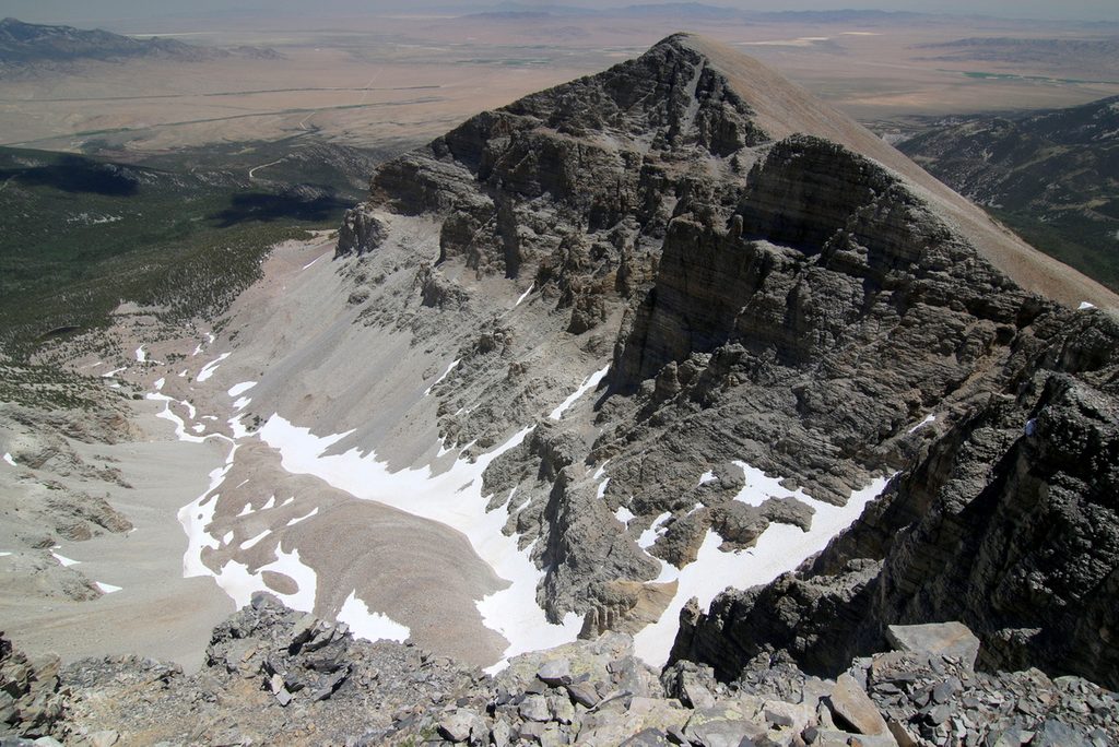
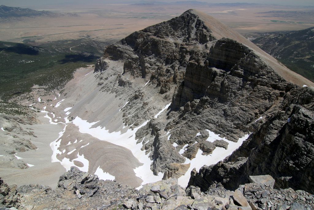
- A classic alpine ridgeline with big views across the Snake Range.
- Endless talus and scree—this is what defines the character of the climb.
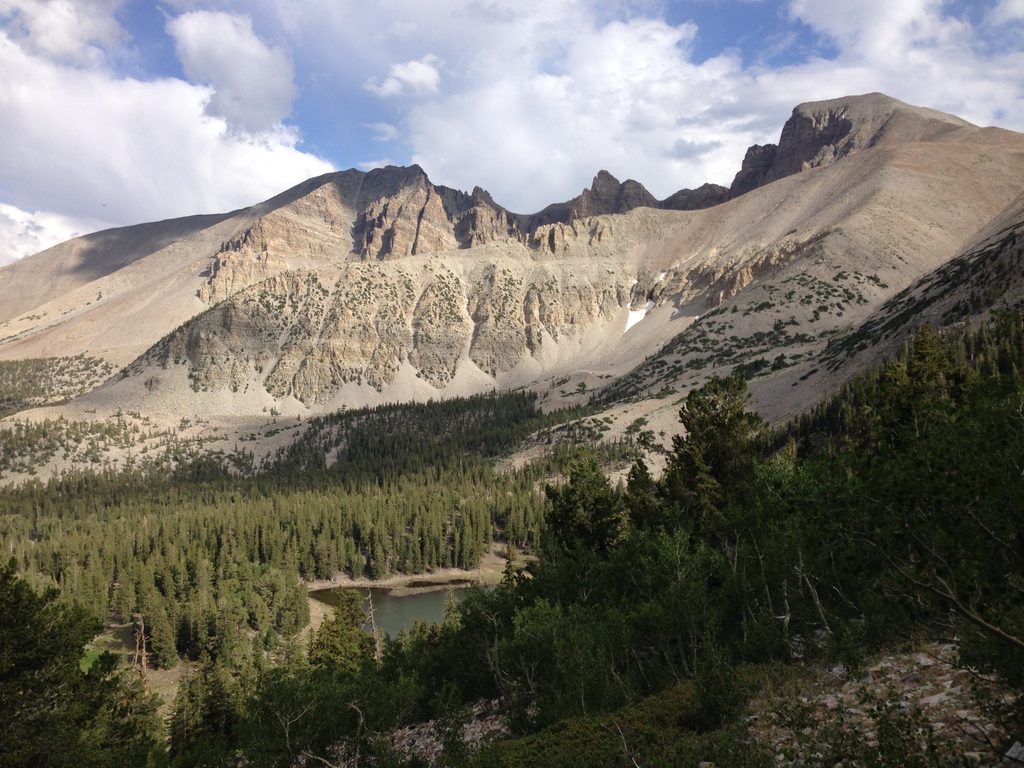
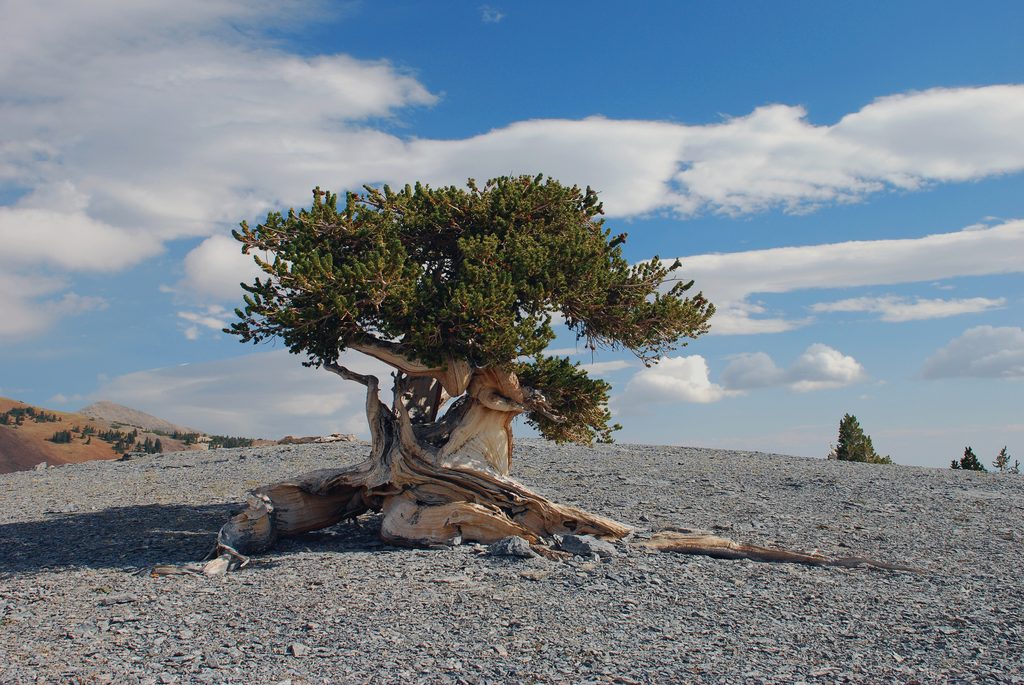
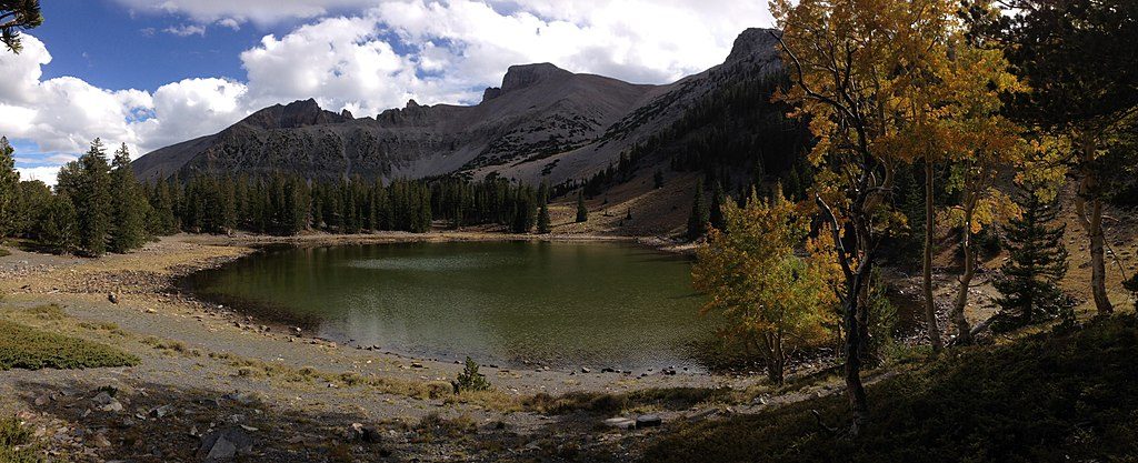
- Nearby highlights to pair with your day: ancient bristlecone pines and the rock glacier by Wheeler Peak, plus short, photogenic walks to Stella and Teresa Lakes.
Season and Conditions
- Best window: Late June through September for the highest odds of snow-free travel on the upper road and alpine routes. Even then, expect strong winds and potential afternoon storms.
- Shoulder seasons: The upper scenic drive often closes for ice/snow—even in fall—so check status the morning of your hike.
Practical Logistics
- Start early: The upper parking fills fast and winds tend to increase by midday. First light starts make the ridge more manageable.
- Acclimatize: Sleeping high (camping) helps before a big, above-10,000-foot day.
- Water: Bring all you need. High-elevation campgrounds and several picnic areas commonly lack potable water.
- Vehicles: No vehicles or towed units over 24 feet are allowed on the upper stretch of the Wheeler Peak Scenic Drive.
Safety Notes
- Expect relentless loose rock. Helmets are a smart call for parties moving together on the ridge. Gloves, wind layers, extra water, and conservative turnaround times are essential.
- Wildlife encounters are generally low-pressure here, but this is remote alpine terrain—be self-sufficient and watch your footing.
Best Time to Visit
- When: Late June–September, on a calm, clear day.
- Day of week: Weekdays to avoid the most parking pressure.
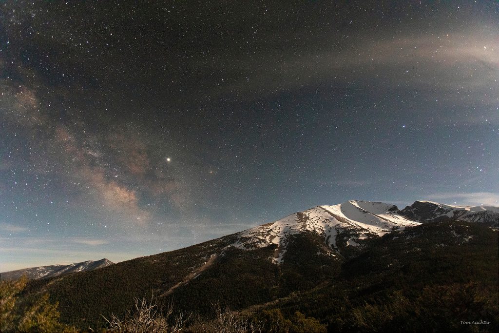
- Time of day: Dawn start. For photography, soft morning or late-afternoon light works best—just give yourself plenty of buffer to descend loose rock in daylight.