
Place · 0.3 mi away
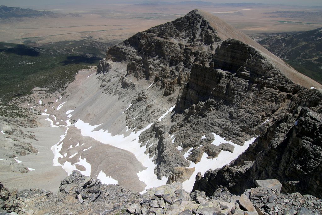
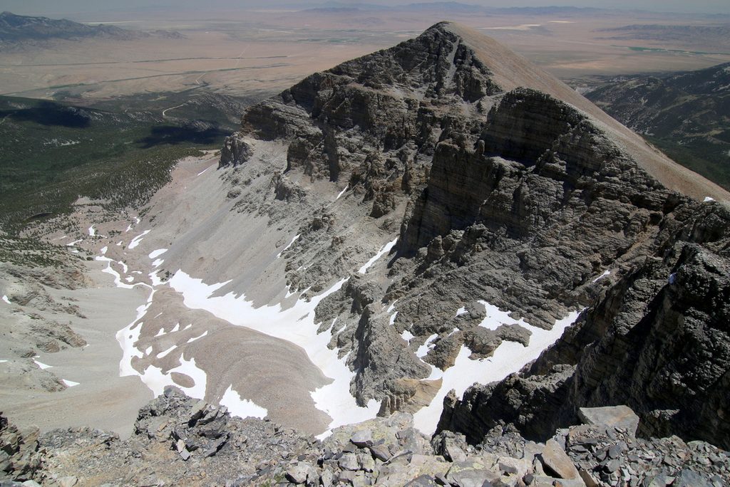
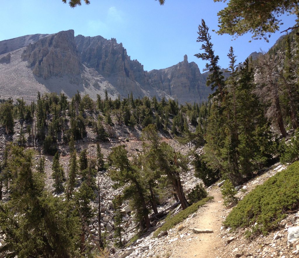
Tucked beneath Wheeler Peak’s dramatic cirque, the Rock Glacier is the park’s glacier remnant—ice hidden within ridges of angular rock. You don’t climb onto it; you admire it from a safe, signed viewpoint where the headwall, moraines, and talus all line up in a classic alpine scene. It’s quieter than the bristlecone grove below and feels surprisingly wild.
Expect a consistent climb, thinner air, and rockier footing near the end. Crowds thin after the bristlecones, so the glacier viewpoint often feels calm even on busy days.
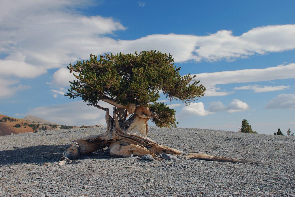
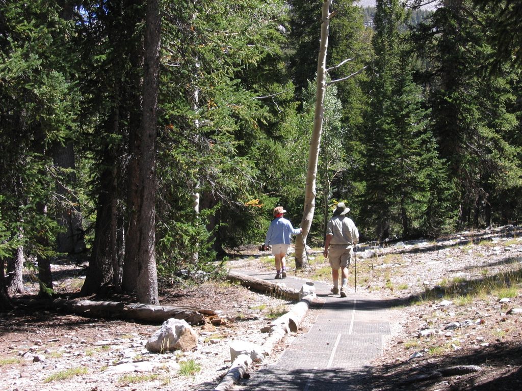
You’ll weave through ancient bristlecone pines—some millennia old—before the forest opens to the cirque beneath Wheeler Peak. The “glacier” you see is a rock glacier: a slow-creeping mass of ice-laced talus with ridged, rubbly surfaces. It can be hard to pick out the ice itself, especially when recent rockfall or snow hides it, but the landforms are textbook. An interpretive panel at the end explains why the rocks can sound hollow underfoot.
Drive the paved Wheeler Peak Scenic Drive (8% grade) to the Bristlecone/Glacier trailhead. Vehicles longer than 24 feet aren’t allowed past Upper Lehman Creek Campground. There’s free parking in upper/lower lots that fill by midday in peak season; arrive early. Vault toilets are available at the trailhead.
Go when the scenic drive is open and most snow has melted—typically summer into fall. Start early for cooler temps, easier parking, and to dodge common afternoon thunderstorms. The viewpoint works in most light; morning often brings calmer winds.
Stay on trail and off the rock glacier and talus—those blocks are unstable and the ice beneath is hazardous. Bring layers, sun protection, and plenty of water; the viewpoint sits around 11,500 feet and weather flips fast.
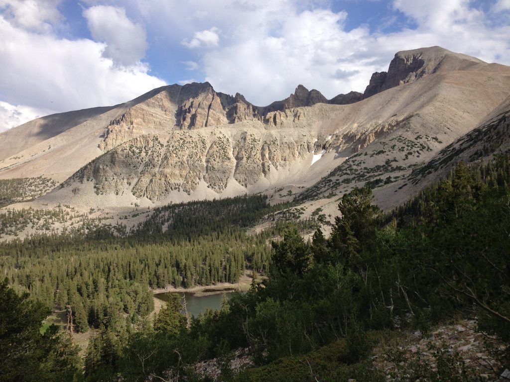
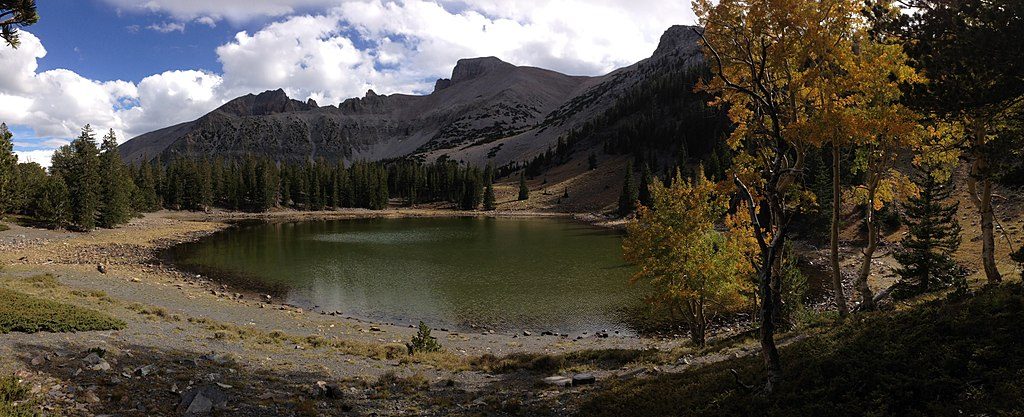
If you want more variety, tack on the nearby Alpine Lakes (Stella or Teresa) on the way up or down. The area also pairs well with shorter high-country walks if you’re acclimating.
Place · 0.3 mi away
Place · 0.3 mi away
Place · 0.7 mi away
Place · 0.9 mi away
Easy · 1.5 mi away
Moderate · 1.5 mi away
Easy · 1.5 mi away
Easy · 1.5 mi away

Parkwolf Tour Guide
