
Place · 0 mi away
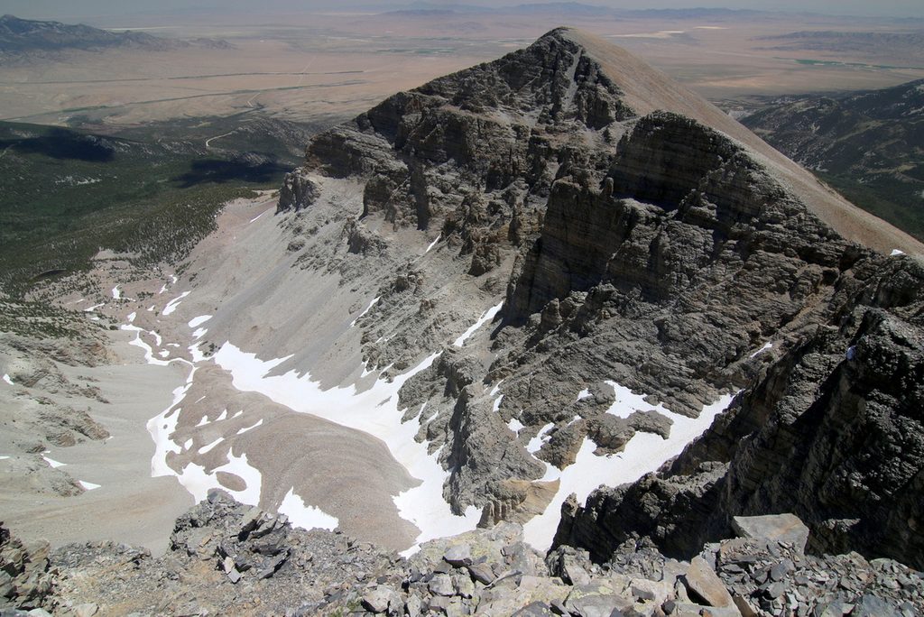
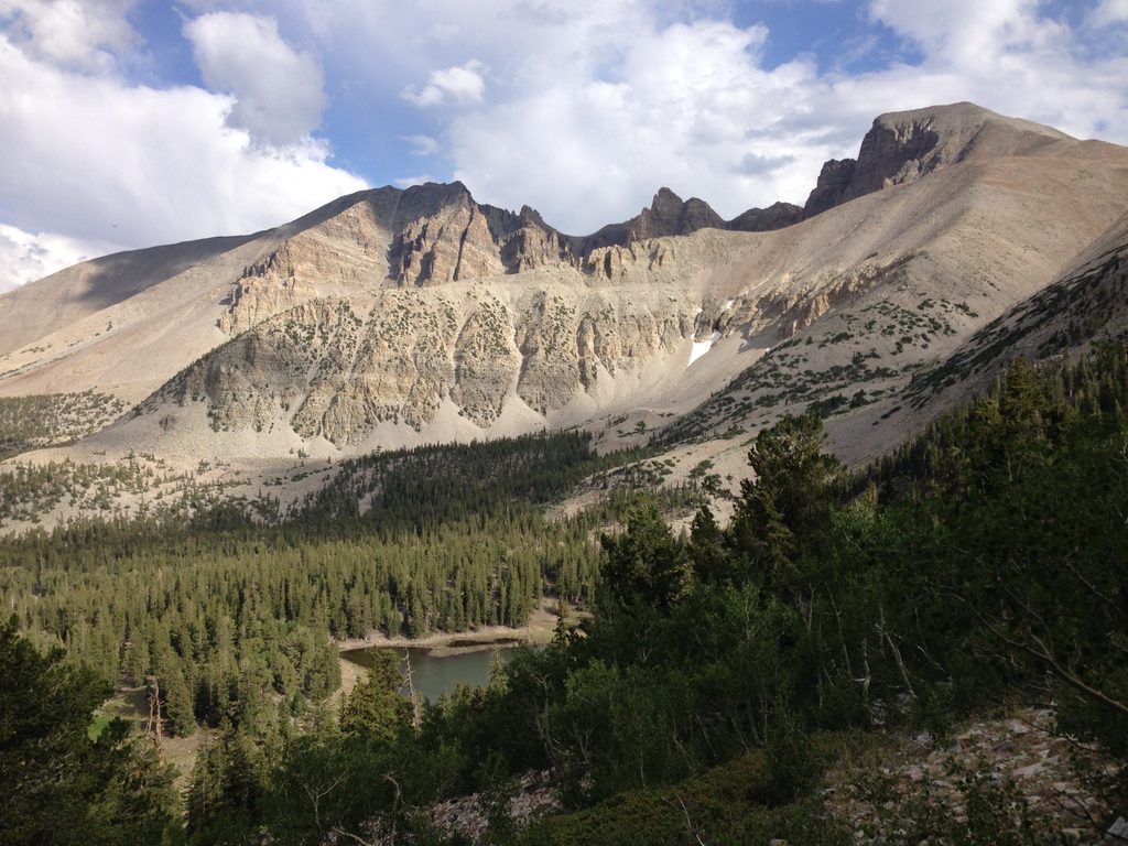
Tucked beneath the northeast face of Wheeler Peak, this debris‑mantled rock‑and‑ice remnant is the last glacier in Nevada. It sits in a steep glacial cirque, with moraines and other textbook features that make the area feel more alpine than desert. The setting is stark, beautiful, and a little raw—exactly what makes it memorable.
Drive the paved Wheeler Peak Scenic Drive (steep, 8% grade). Vehicles longer than 24 feet aren’t permitted past Upper Lehman Creek Campground. You can glimpse the glacier from a roadside overlook, but the better experience is on foot via the Bristlecone/Glacier Trail at the end of the scenic drive.
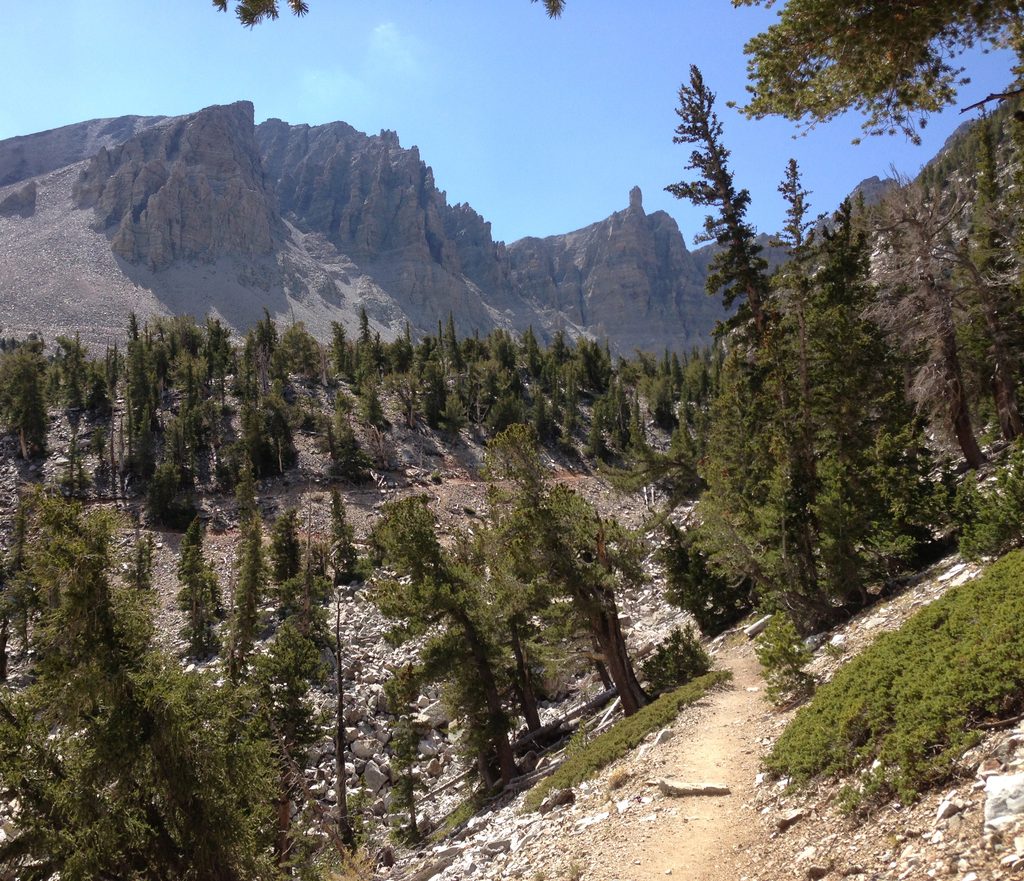
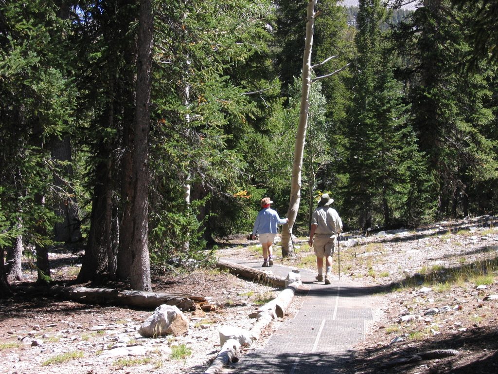
The Bristlecone/Glacier Trail is about 4.6 miles round trip, starting around 9,800 feet and topping out near 10,900 feet. It overlaps sections of the Alpine Lakes Loop and the Bristlecone Trail before crossing talus to the glacier’s toe. Expect uneven footing, occasional small rockfall, and thin air—pace yourself and stay alert. Do not walk onto the ice or under any overhanging snow or rock.
You’re hiking to a genuine glacier in one of the driest regions of the country. The shaded, northeast aspect and high elevation let a sliver of ancient ice persist here, even as most regional ice has long vanished.
Aim for summer and early fall when snow has melted from the trail. Start early on a clear day: parking fills, winds pick up, and afternoon storms are common. Morning light is typically gentler on the headwall and cirque, and weekday mornings are your best bet for quieter trails.
Seasonal access varies with snow. The high‑elevation environment is unforgiving—weather can flip fast, and the talus near the glacier is no place to rush. Leave No Trace is extra important in these fragile alpine zones.
Place · 0 mi away
Place · 0.3 mi away
Place · 0.9 mi away
Place · 1.1 mi away
Easy · 1.7 mi away
Moderate · 1.7 mi away
Easy · 1.7 mi away
Easy · 1.7 mi away

Parkwolf Tour Guide
