Lexington Arch

Remote limestone arch with big views and a rough approach road
Lexington Arch, Great Basin National Park
InsideGreat Basin National Park

Overview

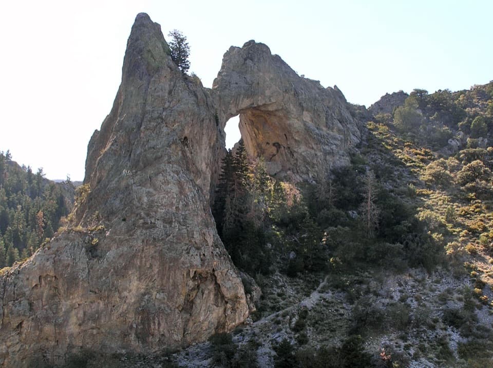
Tucked into the south end of the Snake Range, Lexington Arch is a dramatic limestone span—often described as over six stories tall—that feels wild and remote. This isn’t your typical desert sandstone arch; it’s a karst feature sculpted by water dissolving limestone over geologic time, leaving a soaring remnant that commands the canyon below.

The Hike (What to Expect)

Plan on roughly 5.2 miles round trip with about 1,260 feet of gain. The approach usually starts in a flood‑scoured wash where the old road has been damaged; expect some light route‑finding before you hit the signed trail and its steady switchbacks. Shade is sparse due to past fire, footing can be rocky, and the final viewpoint is across a canyon from the span—scrambling on the arch is discouraged for safety and resource protection.

Getting There & Road Conditions

From the main park area near Baker, the route heads south and then onto a signed dirt road toward Lexington Creek. After rain or snowmelt the road can be rough or impassable; high clearance is a must and 4WD is strongly recommended. You’ll likely park in roadside pullouts before the park boundary or where washouts stop further driving. Close any livestock gates you open and be self‑sufficient—there are no toilets, water, or trash services out here.

Geology: Why This Arch Is Different

Limestone dissolves in slightly acidic water from rain and snowmelt. Over long periods that creates voids and caves; collapses and erosion can leave free‑standing spans like Lexington Arch. Around the arch you’ll notice solution pockets and sharper limestone textures rather than the smooth curves common in sandstone country.

Wildlife & Plants

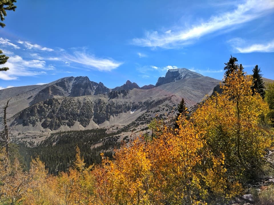
You’ll move from pinyon–juniper and mountain mahogany into aspen and limber pine as you climb. Keep an eye out for soaring raptors, vocal pinyon jays, and mule deer—give any nesting birds on nearby cliffs generous space.

Photography Tips

Early and late light warms the pale limestone beautifully. A wide‑angle lens helps frame the whole span from the viewpoint. The scene reads best with a person or trekking poles in the foreground for scale—no need to get closer than the overlook.

Best Time to Visit

Start early to beat heat and afternoon thunderstorms, especially in summer. Shoulder seasons usually bring the most comfortable hiking weather. After storms or during snowmelt, expect tougher driving and slower travel. Always check current road and trail status with the park before committing.

Pros

  • Impressive limestone arch, often described as over six stories tall
  • Remote, quiet hike with big views and real solitude

Cons

  • High-clearance 4WD commonly needed; access road can be washed out
  • Exposed, rocky climb with little shade and no water or services

Tips

  • Verify road and trail conditions with the park before you go.
  • Start early; the route is exposed with limited shade.
  • Download offline maps and expect some route‑finding in the wash.
  • Carry more water than you think you’ll need; there’s no water or services.
  • Close any livestock gates you pass and avoid driving here when wet.
The Parkwolf tour guide sitting on a phone mounted in a car

Parkwolf Tour Guide

Like a tour guide in your car.

Save the places you found around Great Basin, then let Parkwolf guide the drive between them.Download Parkwolf on the App Store