Place · 0.9 mi away
Moderate

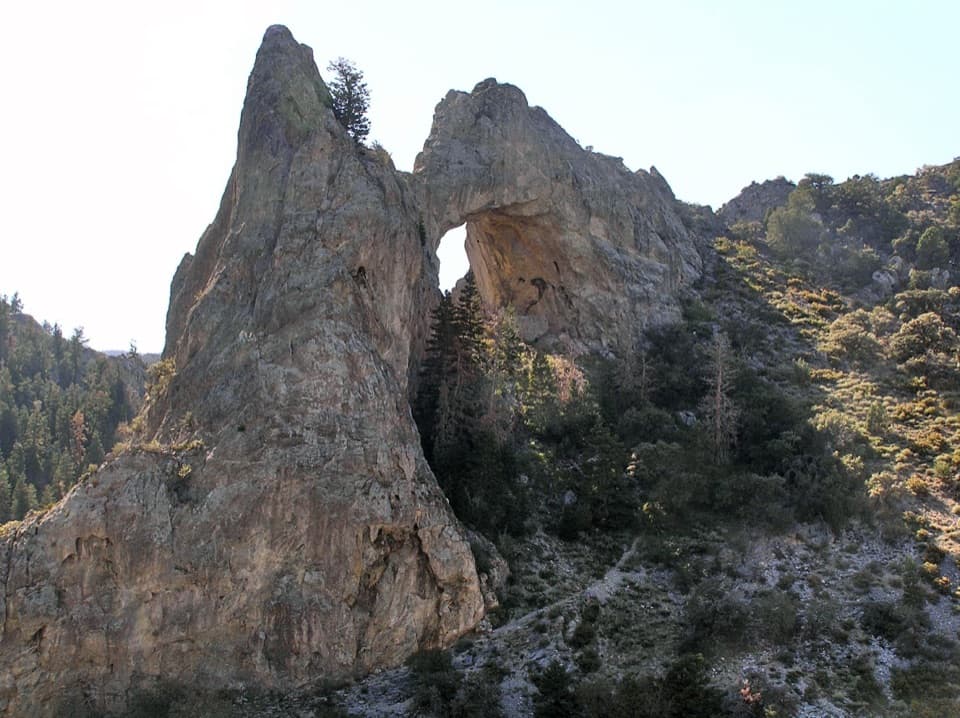
Lexington Arch is a rare limestone arch—over 200 feet tall—set on the park’s far southern edge. Expect real solitude and a stout climb, rewarded by a dramatic viewpoint and a close look at limestone blocks studded with cave-like formations. Most hikers report about 5.2 miles total out-and-back with roughly 1,260 feet of gain (moderate), typically 2.5–3 hours. Note: the official trail from the Lexington Creek Trailhead is shorter (about 3.4 miles round-trip with ~800–900 feet of gain), but ongoing road damage often forces you to start farther back, which bumps the mileage.
This arch likely formed from an ancient cave system; as you approach, keep an eye out for speleothems—flowstone, stalactites, and “popcorn” textures—on broken limestone slabs near the arch. The route’s switchbacks are sun-exposed with rocky footing, and a simple bench near the end offers a quiet spot to take it all in.
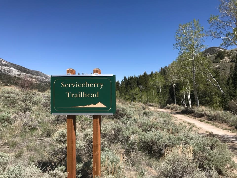
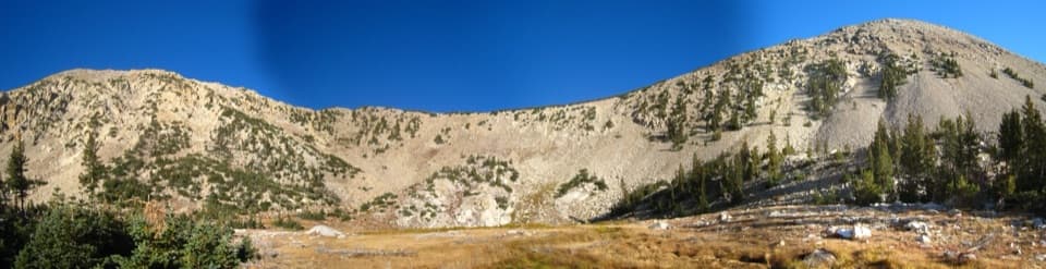
From the signed start of the trail, it’s a sustained climb (about 1.5 miles and ~1,000 feet) up open slopes to the arch viewpoint. A past wildfire left long stretches with little shade, so expect heat and reflective glare on bright days. Underfoot is loose limestone in spots—sturdy shoes help. Crowds are rare; you’ll likely have the arch to yourself.
Reaching the trail is the hard part. High-clearance 4WD is strongly recommended. Washouts from floods and a past fire have damaged long sections of the approach; you may need to park earlier than you’d like and walk 0.5–2 miles of old road or wash just to reach the signed trail start. The route is generally approached via UT‑21 near Garrison and Pruess Lake, then west on signed dirt roads toward the southern Snake Range. Older “Big Wash” approaches still exist but can be confusing; the current trail begins where Lexington Creek Road ends. There are no services at the trailhead, and cell coverage is unreliable.
Start early. Much of this hike bakes in the sun, and midday heat can be punishing. It’s generally hikeable year-round, but snow and ice can linger in shoulder seasons—be ready to turn around if conditions deteriorate. After rain, expect the approach road to be worse (sometimes impassable). Calm, clear mornings offer the most comfortable conditions and the quietest experience.
Dogs are reported as allowed on leash on this route. Policies can change—confirm current rules before you go.
High-clearance 4WD recommended to the end of Lexington Creek Road; washouts may force you to park earlier and walk the old road or wash 0.5–2 miles to the signed trail start. No services and unreliable cell coverage.
Expect sun exposure, heat, and rocky footing; bring ample water and electrolytes. Approach roads are dirt/gravel with washouts—often impassable when wet—and may require turning around. Navigation may involve hiking in a wash; carry offline maps/GPS. Fragile speleothems near the arch—do not touch.