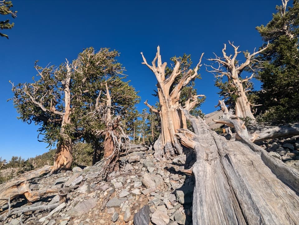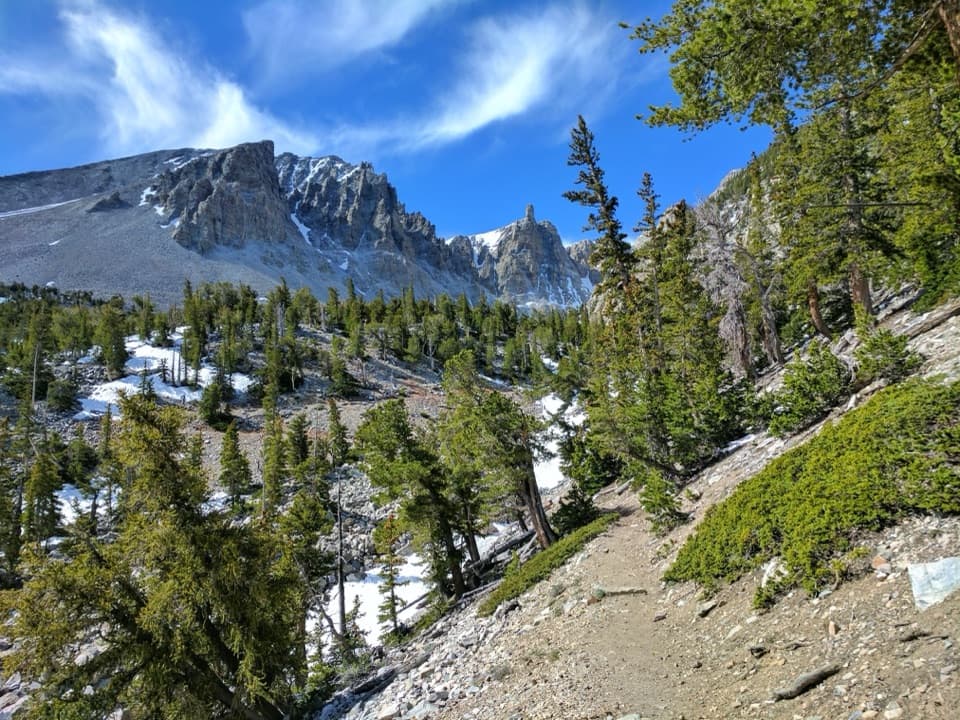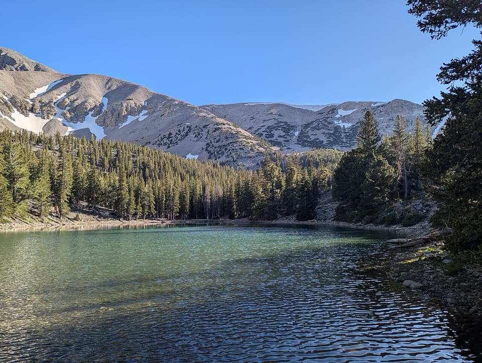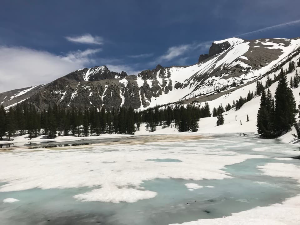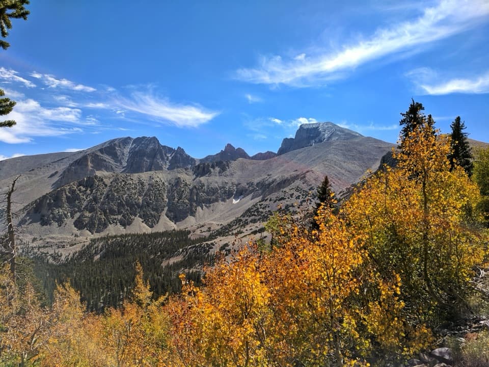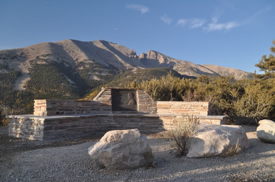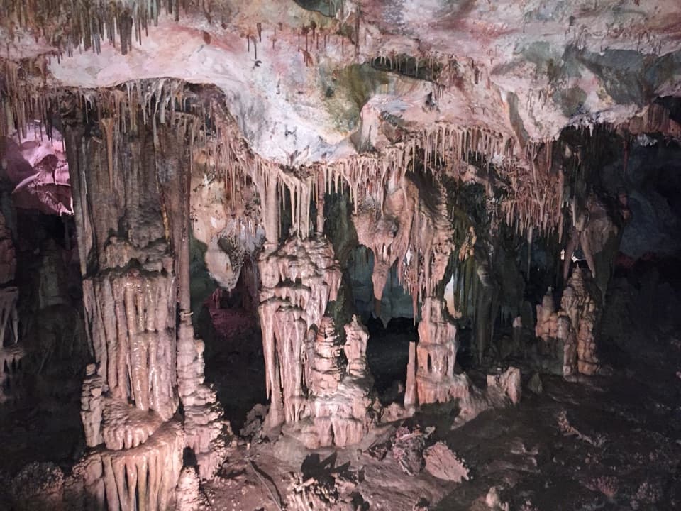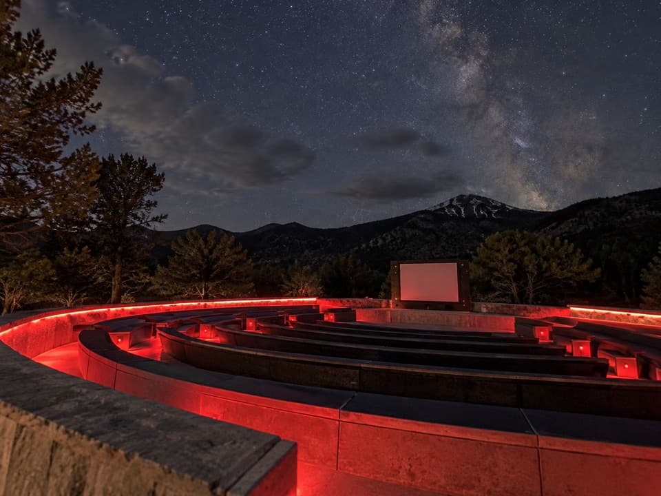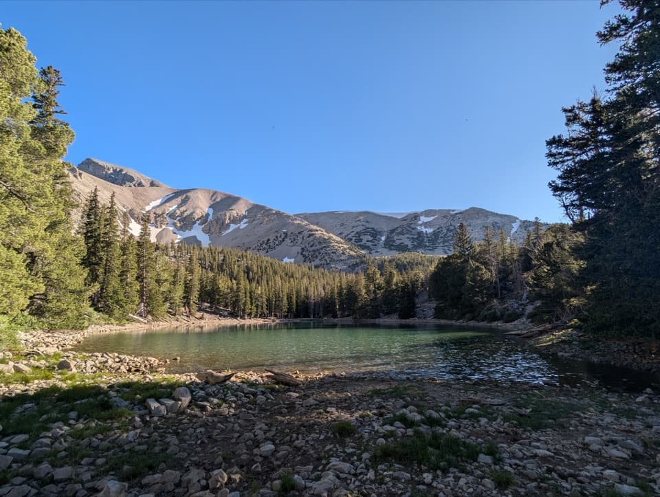
Teresa Lake in Great Basin National Park

#10 of 19 sights in Great Basin

Sight · Great Basin National Park

Teresa Lake

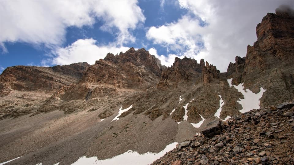
A short spur brings Wheeler Peak into the lake view.

Photo: Wikimedia Commons
Type
Sight
Nearest trail
0.5 mi
Audio stories
2 nearby
  • Exhibit

Hear the audio tour

Bristlecone Trailhead: The Grove Walk

Overview

About Teresa Lake

Why stop

  • A short diversion lets you see Teresa without hiking the full loop.

Heads up

  • Low water can leave a muddy shoreline by late summer.

Map

Where it is

Loading the Great Basin map
Full map
SightTeresa Lake39.00332, -114.31120
Keep this map with you offline in the Parkwolf app

Plan your stop

Before you go

3 active Great Basin alerts

  • ClosureWheeler Peak Scenic Drive closed at Mather OverlookWheeler Peak Scenic Drive is closed at Mather Overlook because of incoming inclement weather and the seasonal winter closure. Check current park road conditions before traveling.Official details
  • CautionNo potable water in park campgroundsNo water is available in any Great Basin National Park campground; bring drinking water for camping.Official details

See all 3 alerts
A park ranger sits on a dash-mounted phone, talking, as Parkwolf’s Tour Guide plays “Army Cutworm Moths: A Grizzly Bear Buffet” on Grand Loop Road below Dunraven Pass in Yellowstone
Parkwolf Tour GuideThe highest, rockiest slopes around here are a summer buffet for grizzly bears.

Great Basin Tour Guide

Your drive to Teresa Lake, narrated.

Parkwolf is a GPS audio tour guide for Great Basin National Park. As you drive, it chimes in with what’s ahead: hidden gems, upcoming stops, history, geology, and wildlife, right through your car’s speakers.

See the Great Basin audio tour

Recorded for this place

Bristlecone Trailhead: The Grove Walk
0:00 / 0:27
“Up ahead is Bristlecone Trailhead, where I'd choose the hike to Wheeler Peak's bristlecone grove.”

Plays as you drive up to Teresa Lake in the Parkwolf Great Basin Tour Guide.

More stories near here in the app

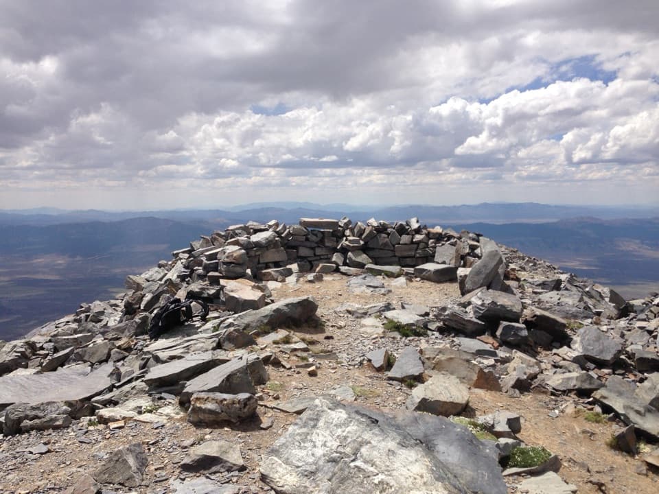
  • Wheeler Peak Summit Trailhead: A Full Hiking Day
  • Wheeler Peak Overlook: Find the Rock Glacier
  • Mather Overlook: Match the Map to the Mountain
  • Mountains Pulled Apart
  • 36 audio storiesacross Great Basin’s roads, triggered by GPS as you drive
  • Wildlife heatmapsfor Elk, Mule Deer, Wild Turkey, and 13 more
  • Works offlinemaps, 29 trails, 29 places, and audio download before you lose signal
  • CarPlay readysimple controls built for the drive
★★★★★
“Fantastic app with many points of information… It’s great to just turn on while you’re driving and it gives you an audio tour of the national Park. We love it!!!!”
JMJamesApp Store review
Download Parkwolf on the App StoreGet Parkwolf on Google Play

4.7 from 8,600+ ratings

Guide

More about Teresa Lake

A lake on the Alpine Lakes LoopTeresa Lake is a small glacial lake in the high Snake Range, north of Wheeler Peak.

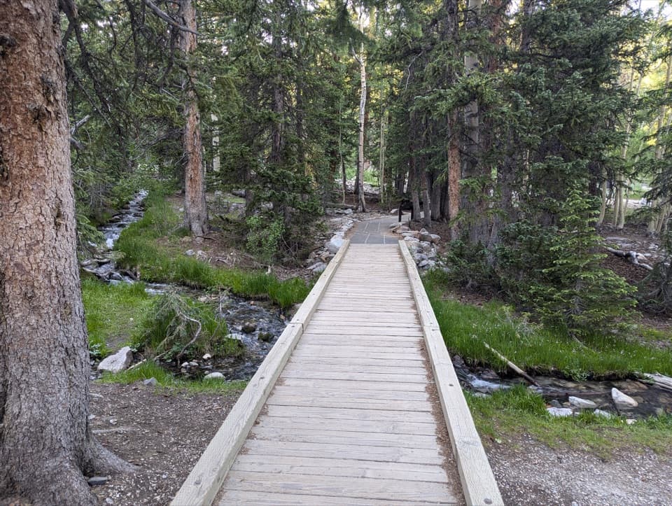
Teresa Lake is a small glacial lake in the high Snake Range, north of Wheeler Peak. It is one of two lakes along the Alpine Lakes Loop. Take the 0.2-mile diversion from Bristlecone Trail for Teresa on its own; continue on the loop if you want to see both lakes.

Walk to the north sideThe lake sits below a rocky ridgeline. From the north side, Wheeler Peak rises behind the water.

The lake sits below a rocky ridgeline. From the north side, Wheeler Peak rises behind the water. Walk around to that shore for the clearest lake-and-peak view. Late afternoon, before the sun drops behind the north ridge, gives the strongest light for that view.

A shallow, changing shorelineSnowmelt feeds this shallow lake.

Snowmelt feeds this shallow lake. It is fuller and blue-green in late spring or early summer, then can shrink to a muddy shoreline by late summer or early fall. Set your expectations if you arrive after the runoff; low water changes the payoff.

High country underfootThe approaches are rocky and rooted, and most of the Alpine Lakes Loop stays above 10,000 feet.

The approaches are rocky and rooted, and most of the Alpine Lakes Loop stays above 10,000 feet. Even the short spur is a high-elevation hike, so allow for more effort than the lake's small size suggests. The road to the high trailheads typically opens from Memorial Day into late October, with weather deciding the dates.

Wildlife

Wildlife in Great Basin

All Great Basin wildlife maps

Sighting maps show where each species has been reported across Great Basin. Wildlife moves, so no sighting is guaranteed.

Keep exploring

Near Teresa Lake

See it all on the map

Trails nearby

More stops nearby

Parkwolf’s Great Basin ranking

Top sights in Great Basin

All 29 places
  1. 1Lehman CavesSight
  2. 2Wheeler Peak Bristlecone GroveSight
  3. 3Wheeler PeakSight
  4. 4Mather OverlookSight
  5. 5Wheeler Peak OverlookSight
  6. 6Astronomy AmphitheaterSight

Take Parkwolf to Great Basin.

The audio tour guide for the drive, plus offline maps, trails, and wildlife heatmaps for when the signal drops.

4.7 from 8,600+ ratings

Download Parkwolf on the App StoreGet Parkwolf on Google Play