
Place · 0.6 mi away
Challenging
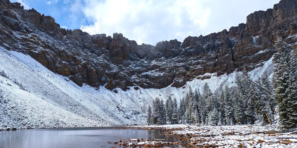
This strenuous alpine loop links Baker Lake and Johnson Lake from the Baker Creek Trailhead. It’s roughly 11.7 miles total with about 3,280 feet of climbing, and most day hikers take 6–12 hours. Expect alternating shade and sun, steady creek-side hiking, wildflowers in season, and long, open ridge views. It’s one of the park’s quieter big objectives—rewarding if you’re fit and up for some rugged, high-country travel.
Most hikers prefer counterclockwise: climb the Baker Lake side on a steady, well-graded trail that often parallels the creek, then make the steeper, looser connection over the ridge to Johnson Lake, and descend the Johnson Lake Trail. The ridge connector between the lakes is the crux—steep, rocky, and at times faint—so bring an offline map and take your time. Near Johnson Lake you’ll pass historic mining relics; enjoy them from a distance and don’t enter structures. If you only want half the effort, the Baker Lake out-and-back uses the same pleasant approach and still delivers the alpine lake payoff.
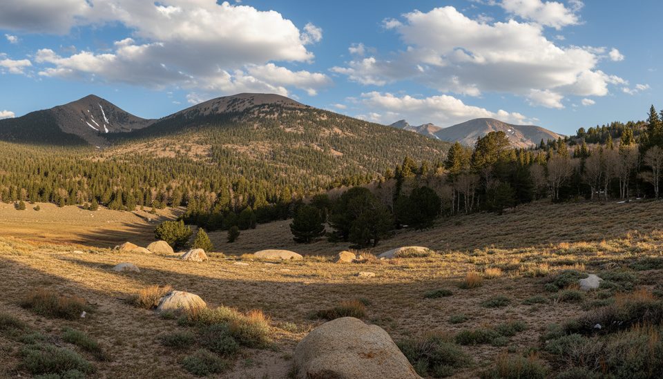
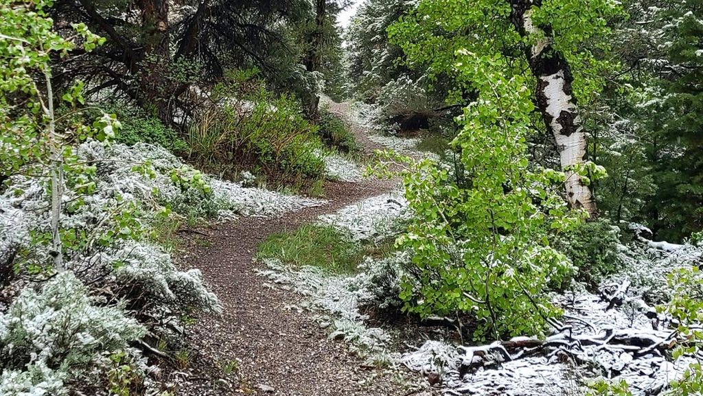
Creek corridors lined with aspen and conifer give way to high basins with big cirque walls. Wildflowers and frequent water are highlights in the melt season, and the ridge traverses deliver the wide-angle basin-and-peak views you came for. Baker Lake is part of an active native trout restoration effort—observe, don’t disturb. Wildlife sightings can include wild turkeys along the lower approach.
Access is via gravel Baker Creek Road to the Baker Creek Trailhead; there’s a pit toilet but no potable water along the road. Fill up at the visitor center before you head up, then plan to filter from the creek on trail. Dogs aren’t allowed on park trails. If you’re turning this into an overnight, pick up a free backcountry permit. High elevations and a short mountain season are the norm here: snow can linger on the ridge and around the lakes well into summer, and the road can close during winter and shoulder seasons.
Late June through September typically offers the best shot at dry tread and open road access, but conditions swing year to year. Start early to beat afternoon storms and to enjoy cooler temps and softer light on the ridge. Weekdays see very light traffic; you’ll often have long stretches to yourself. For a mellower taste of the area in shoulder seasons, the lower Baker Creek Loop is a solid plan B with meadows, aspens, and easy creek views.
If you want a big, quiet Great Basin day with two alpine lakes and a touch of history—and you’re comfortable with a steep, sometimes vague ridge connector—this loop delivers. If you’d rather skip the crux, the Baker Lake out-and-back is the friendlier crowd-pleaser.
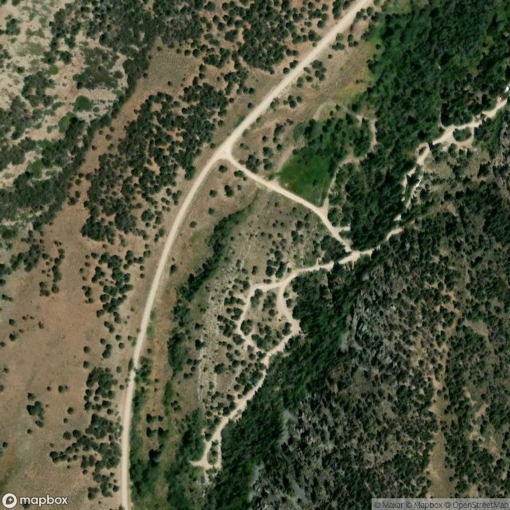
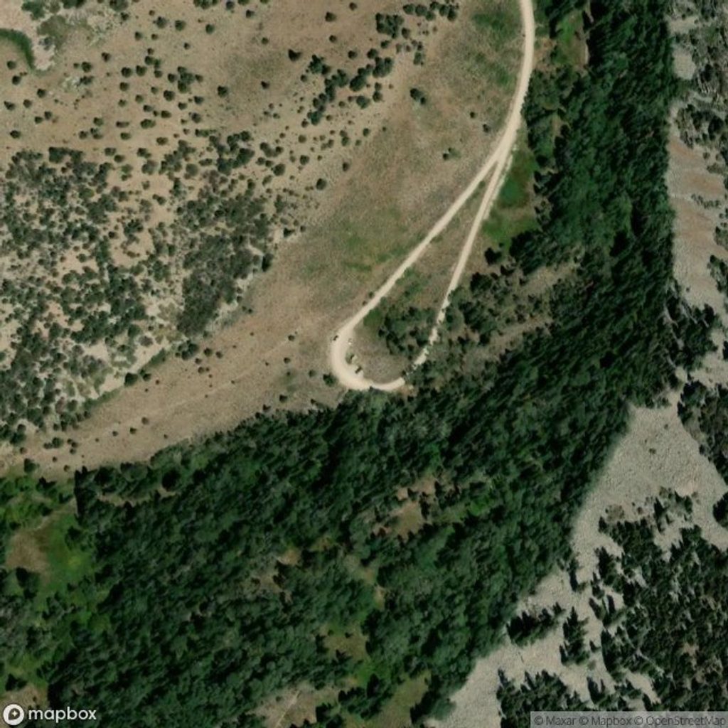
Park at the Baker Creek Trailhead at the end of Baker Creek Road (gravel). Pit toilet available; no roadside parking and no potable water—fill at the visitor center.
High-elevation loop with a steep, sometimes indistinct ridge section; lingering snow and loose rock possible. Gravel road may close in winter/shoulder seasons. No potable water along the road; no pets on trails.
Place · 0.6 mi away
Place · 1.5 mi away
Place · 1.9 mi away
Place · 2.4 mi away
Moderate · 0 mi away
Moderate · 0 mi away
Moderate · 1.9 mi away
Challenging · 2.6 mi away

Parkwolf Tour Guide
