
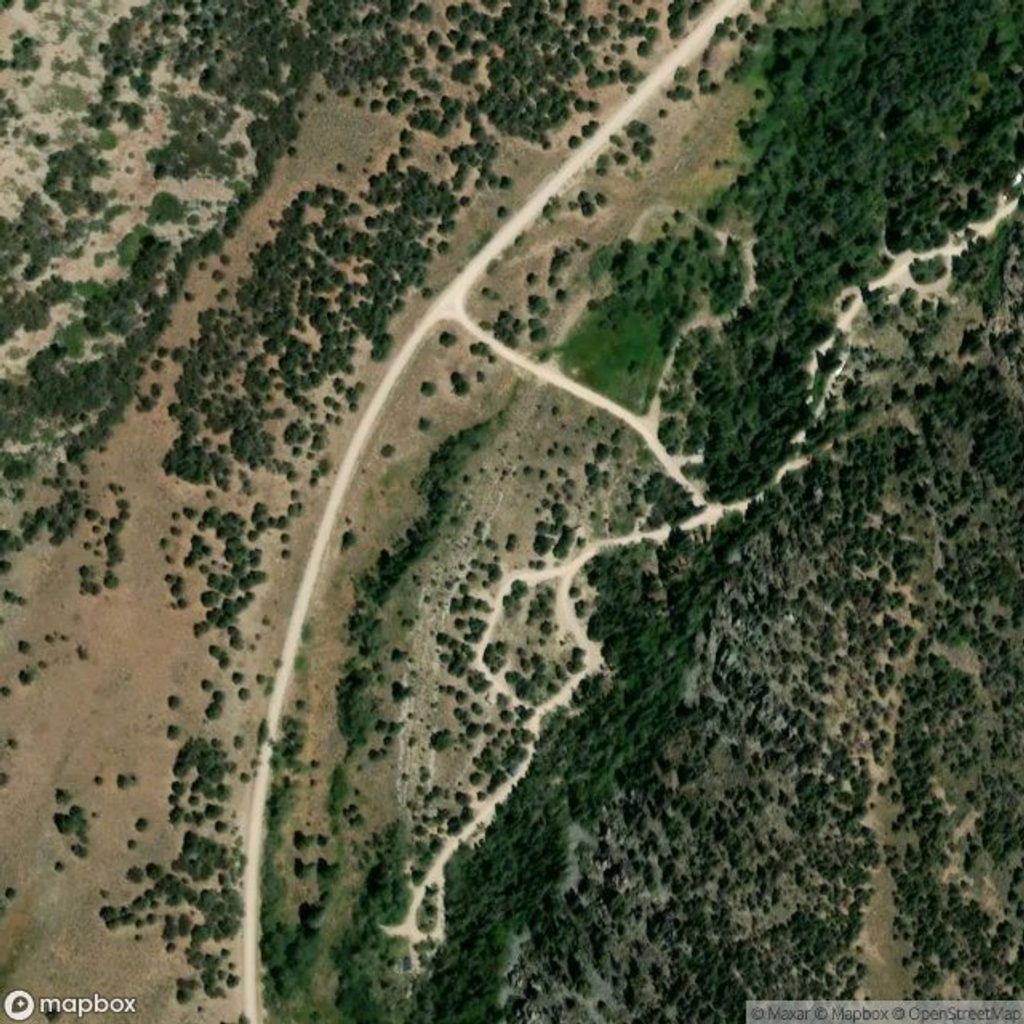
Place · 0.6 mi away
Moderate
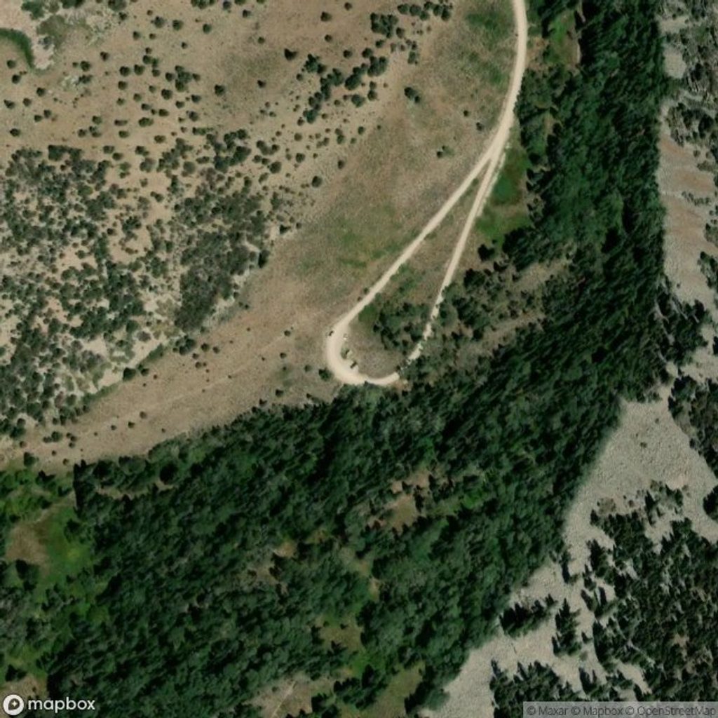
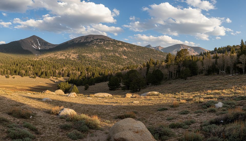
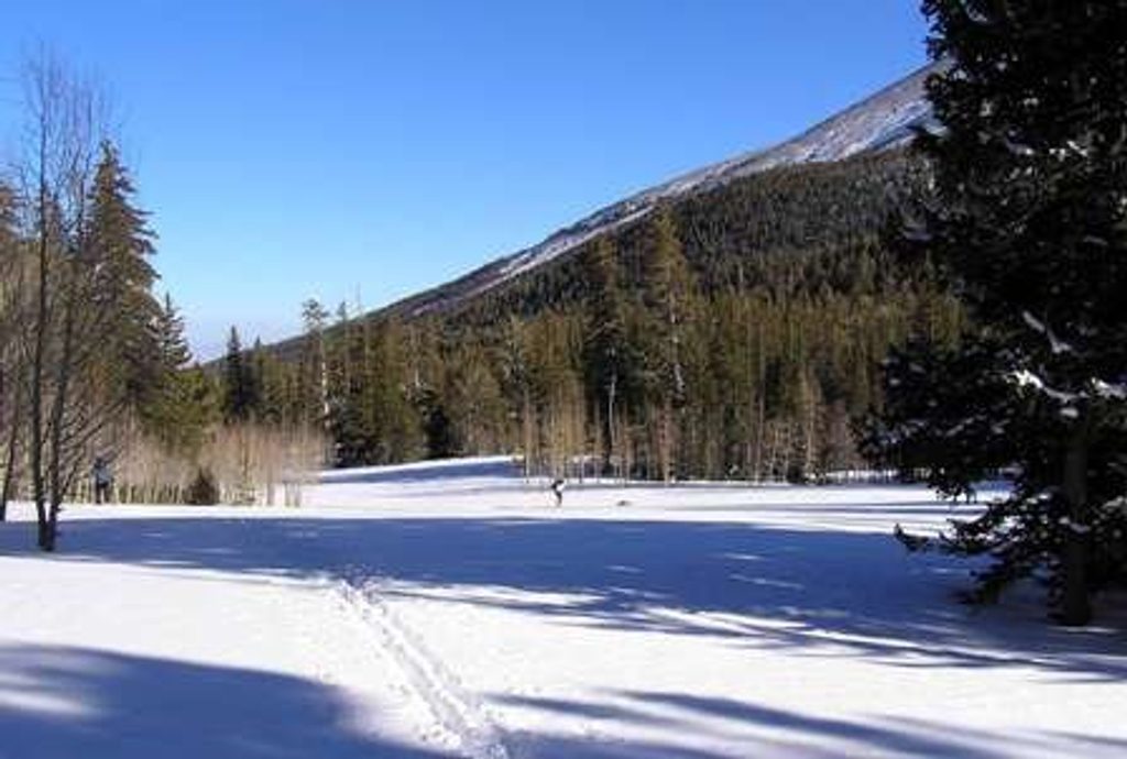
If you’ve heard locals say “Baker Meadows,” they’re talking about the scenic meadow-and-aspen sections in the Baker Creek area—most commonly hiked as the Baker Creek Loop. Expect roughly 3.3–3.5 miles total with about 900–1,000 feet of climbing and a comfortable 1.5–2 hours for most hikers. It’s a true sampler: shady forest, open meadows, and stretches alongside Baker Creek, with periodic big-mountain views.
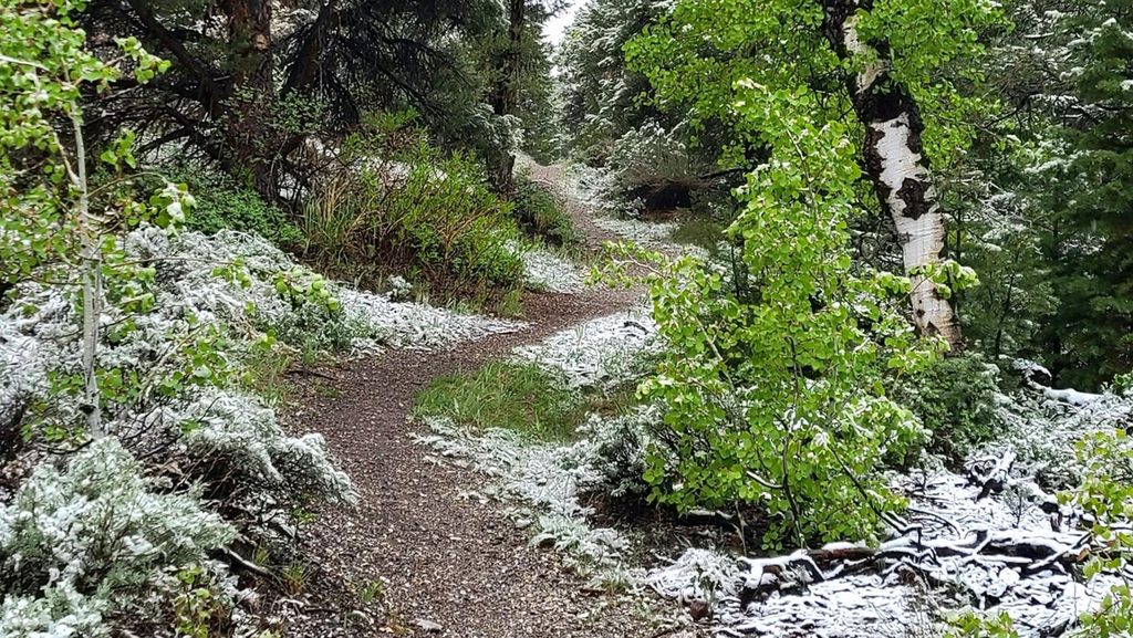
From the main Baker Creek Trailhead, the loop climbs through mixed conifers and big aspens before opening to the namesake meadows up high. You’ll hear and see the creek along parts of the route, cross a small footbridge, and even find a bench around the halfway mark—an easy spot to linger. Underfoot, expect some loose rock and dusty segments, plus a few steeper pitches. Sturdy footwear is worth it; trekking poles are a nice bonus.
Many hikers prefer tackling the south side as the ascent (counter-clockwise) for a more forgiving grade and a finish through the meadows. Signage is good, but note that maps and signs may emphasize “Baker Creek Loop” while “Baker Meadows” is used informally and for a signed connector in the area—same place, overlapping experience.
This area often melts out earlier in spring and stays accessible later in fall than the park’s higher-elevation trails, though Baker Creek Road can close with winter weather. For summer, start in the morning for cooler temps and steadier weather; afternoon thunderstorms are common. Wildflowers typically pop in late spring into early summer, and the aspen shade makes hot days more comfortable.
Keep an eye out for deer and wild turkeys in the meadows and along the forest edges, plus the smaller regulars—rabbits and squirrels. You’ll move through classic Great Basin vegetation zones: aspen groves and conifers transitioning to open, creek-fed meadows, with views up toward glacially carved high country that feeds these streams.
Park at the end of Baker Creek Road (graded gravel off NV-488) at the main Baker Creek Trailhead; restrooms are at the lot and passenger cars are typically fine in normal conditions. Day hiking here doesn’t require a permit. Pets are not allowed on park trails. Altitude and footing are the main challenges—carry water, layers, snacks, and plan around summer storms.
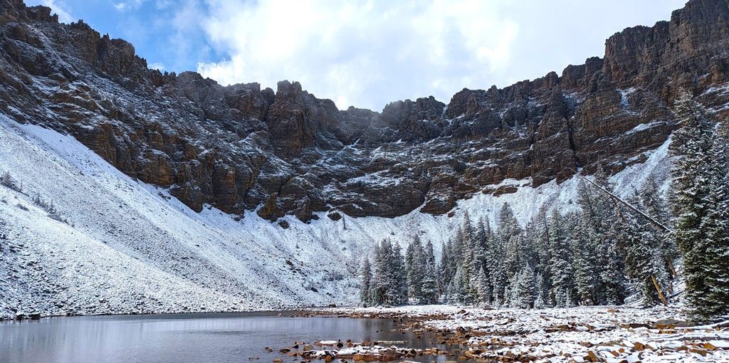
From the same trailhead, longer days to Baker Lake or Johnson Lake add alpine cirques and higher-elevation scenery. For a short, different flavor in the park, the Alpine Lakes Loop and the Bristlecone Trail offer big payoff in less time when the upper mountain is open.
Park at the main Baker Creek Trailhead at the end of Baker Creek Road (graded gravel off NV-488). Restrooms at the lot; passenger cars usually fine unless winter conditions close the road.
High elevation with sudden summer storms, spotty cell service, and stretches of loose rock/dust. Baker Creek Road can close in winter; check conditions.
Place · 0.6 mi away
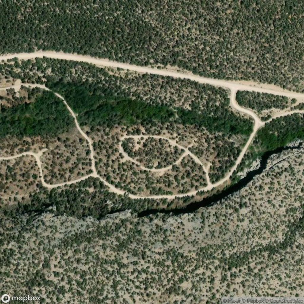
Place · 1.5 mi away
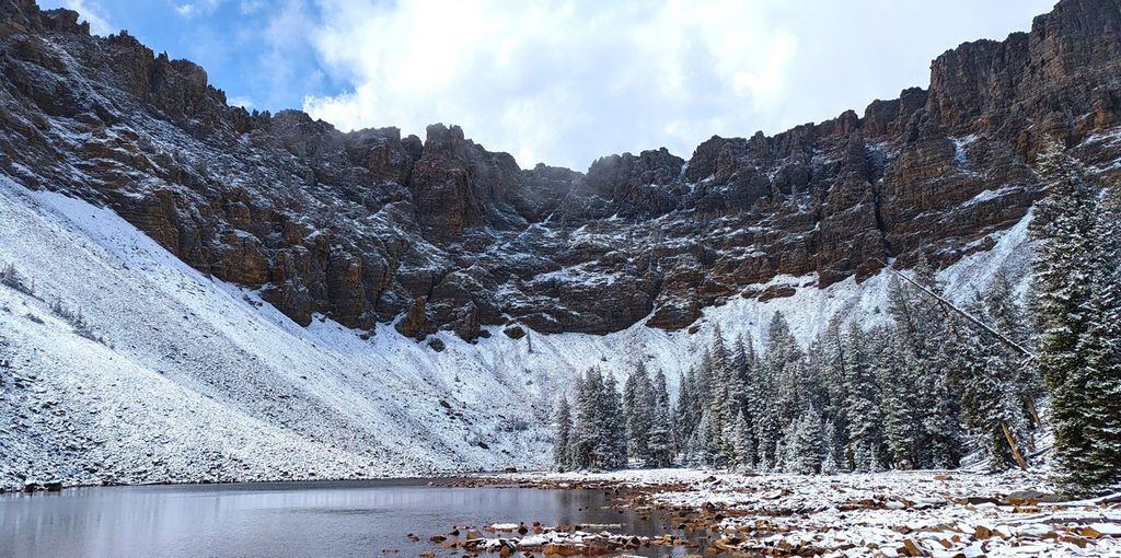
Place · 1.9 mi away
Place · 2.4 mi away
Challenging · 0 mi away
Moderate · 0 mi away
Moderate · 1.9 mi away
Challenging · 2.6 mi away

Parkwolf Tour Guide
