
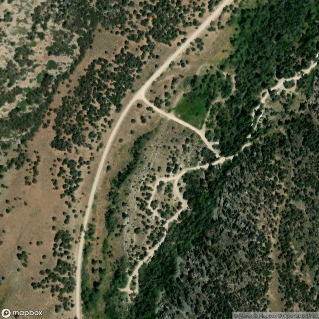
Place · 0.6 mi away
Moderate
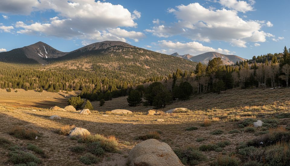
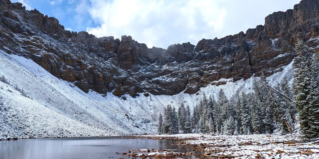
This is a quieter, moderately challenging loop in the Baker Creek area that rewards effort with forest shade, open meadows, and big views of the South Snake Range, including Pyramid Peak. The loop is about 5.3 miles total with roughly 1,666 feet of climbing, so it packs a punch for its length. Expect a sustained climb and switchbacks early, then a mix of aspen and pine, sagebrush meadows, and a peaceful vibe far from the park’s busier Wheeler Peak side.
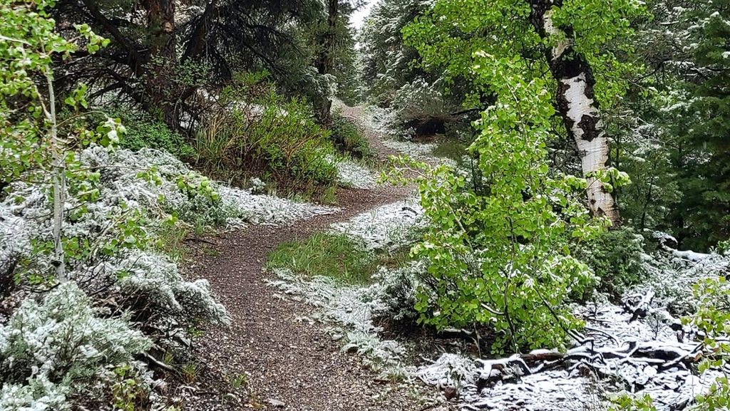
From the Baker Creek Trailhead at the end of Baker Creek Road (gravel), pick up Timber Creek and link with South Fork Baker Creek and the Baker Creek Trail to complete the loop. The grade is notably steeper in the first two miles (about 1,271 feet gained early on), with rocky sections and tight switchbacks. Aspens blaze in fall, conifers cool the climb in summer, and an alpine meadow near the high point frames Pyramid Peak. If you prefer a gentler ascent, approach from the north side of the loop and save the steeper grades for the descent.
Summer and early fall are prime: clear trails, stable weather, and the best meadow views. Start early for cooler temperatures and softer light on the meadows. Afternoon thunderstorms are common in summer; aim to be below exposed sections by early afternoon. In winter, this route can turn into a snowshoe outing when conditions allow, but access depends on Baker Creek Road, which can close intermittently in winter and spring.
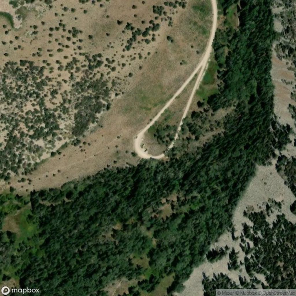
Drive Baker Creek Road (gravel) off the main park road toward the Baker Creek area. The Baker Creek Trailhead has a small parking lot, a vault restroom, and trash cans. In winter/spring, check access—closures happen, and snow/ice linger in the shade.
Baker Creek Trailhead at the end of Baker Creek Road (gravel). Small lot with vault toilet and trash cans.
Steep, rocky switchbacks and sustained gain early; afternoon summer thunderstorms; winter snow and ice with possible road closures; altitude can hit harder than expected.
Place · 0.6 mi away
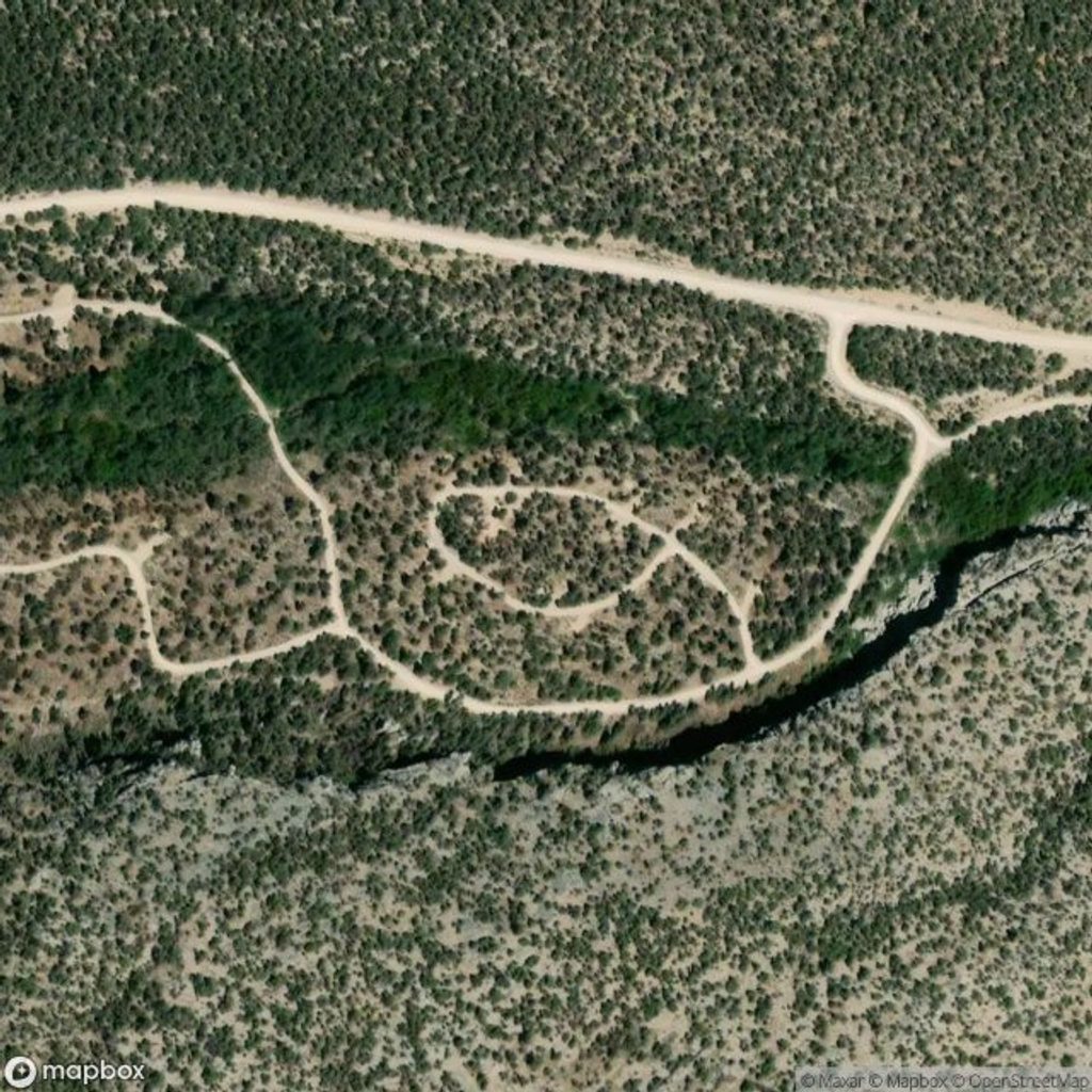
Place · 1.6 mi away
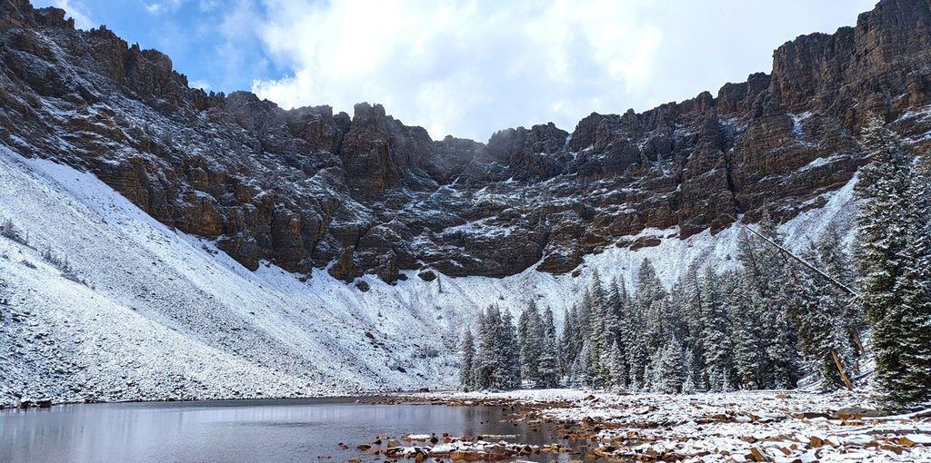
Place · 1.9 mi away
Place · 2.4 mi away
Challenging · 0 mi away
Moderate · 0 mi away
Moderate · 1.9 mi away
Challenging · 2.6 mi away

Parkwolf Tour Guide
