Parking
Limited designated parking at Pole Canyon Trailhead at the end of Pole Canyon Road, near Grey Cliffs Campground. Do not park along the road. A vault toilet and hiker register are at the trailhead.
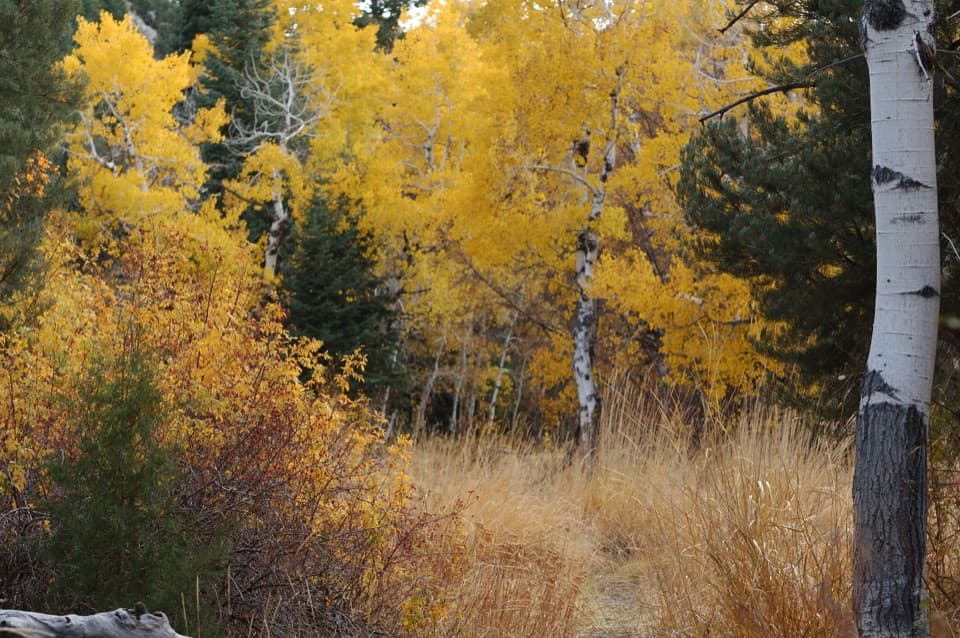
Great Basin National Park, NV
A gradual creek climb, a sharp pass, and a smarter way round.
Overview
Map & elevation
Plan your hike

The highest, rockiest slopes around here are a summer buffet for grizzly bears.
Great Basin Tour Guide
Parkwolf is a GPS audio tour guide for Great Basin National Park. As you drive, it chimes in with what’s ahead: hidden gems, upcoming stops, history, geology, and wildlife, right through your car’s speakers.
See the Great Basin audio tourRecorded for this trailhead
Grey Cliffs and Pole Canyon: A Shaded Lunch Stop“You're nearing Grey Cliffs and the access to Pole Canyon's picnic area. For a lunch break, choose the day-use tables and charcoal grills, with shade among the trees and accessible tables on paved ground.”
Plays as you drive up to this trailhead in the Parkwolf Great Basin Tour Guide.
More stories near here in the app
“Fantastic app with many points of information… It’s great to just turn on while you’re driving and it gives you an audio tour of the national Park. We love it!!!!”


Trail guide
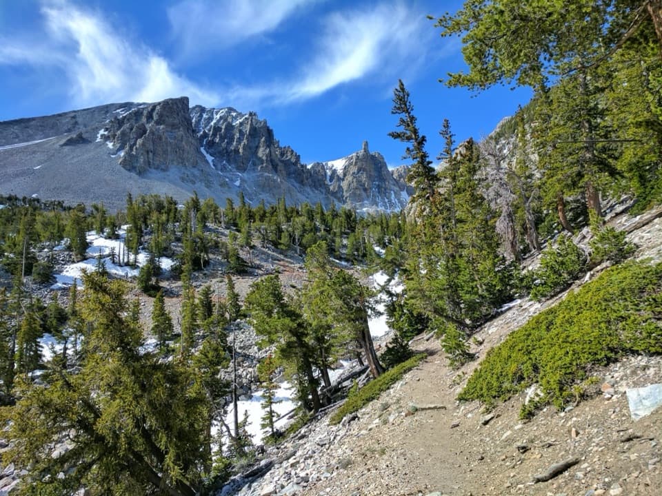
Pole Canyon Trail is a 6.6-mile clockwise loop from Pole Canyon Trailhead, climbing along Pole Creek to a mountain pass and returning by Timber Creek, Baker Creek and Grey Cliffs campgrounds. Expect meadow, mixed conifers and stream crossings, with a mostly gradual climb until the short, steeper push to the saddle. The route gains about 1,600 feet; allow 3 to 6 hours. The mapped loop is about 6.6 miles; allow closer to 6.8 if you take the longer campground-road loops.
Start clockwise. Cross Baker Creek and keep right at the first fork to stay on the loop. The left branch heads toward Kious Basin. For roughly 2.5 miles after that junction, the trail follows Pole Creek and gains height steadily but gently. It then turns sharply toward the saddle; this is the steepest part of the hike. The clockwise direction puts the climb in the first half and saves the descent for the return.
The pass is the high point and the best view on the route: Wheeler Peak sits framed beyond the saddle, with Baker Peak and Snake Valley also part of the wider scene. Take a minute here before dropping toward Timber Creek. For a photo, keep the saddle in the frame around Wheeler Peak so the view reads as a pass rather than a distant peak by itself.
After the pass, descend to the Timber Creek junction and keep right toward Baker Creek Trailhead. From there, connector paths and campground roads lead through Baker Creek and Grey Cliffs before the final stretch on Pole Canyon Road. There is no continuous trail through either campground. Near the end, watch for the sharp right turn off Pole Canyon Road back to the trailhead; if you miss it, the road still reaches the same access but skips that last loop segment.
If you want to skip the campground roads, turning back at the saddle makes an out-and-back of about 6.4 miles, only a little shorter than the loop. A real shorter option is to turn around about 2.6 miles in, before the steeper pass climb, for roughly 5.2 miles round trip. You miss the best view, but avoid the sharpest ascent.
Parking at Pole Canyon Trailhead is limited; use designated spaces and do not park along the road. A vault toilet and hiker register are at the trailhead. There is no potable water along Baker Creek Road or the trail. Dogs are prohibited on park trails, except trained service animals. The route is listed as year-round, but winter snow can require a short snowshoe approach from the Baker Creek pit toilet. Rocky terrain makes this hike inaccessible for wheelchair users.
Wildlife
 22 sightingsElkMost seen around 8 PMSighting map
 237 sightingsMule DeerMost seen around 6 AMSighting map
 186 sightingsWild TurkeyMost seen around 7 AMSighting map
 22 sightingsRattlesnakeMost seen around 6 PMSighting map
 23 sightingsDusky GrouseMost seen around 7 AMSighting map
 18 sightingsThree-toed WoodpeckerMost seen around 8 AMSighting map
Sighting maps show where each species has been reported across Great Basin. Wildlife moves, so no sighting is guaranteed.
Keep exploring
 ChallengingBaker & Johnson Lakes Loop11.7 mi · 10 hr · 1.9 mi awayTwo high lakes and a century of tungsten mining.
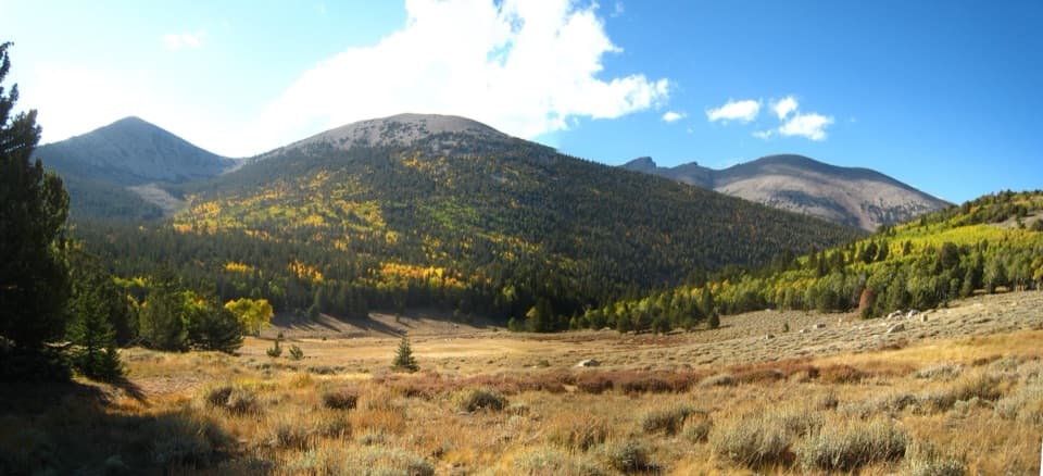 ChallengingTimber Creek Trail5.1 mi · 4.5 hr · 1.9 mi awayClimb through pines to a Pyramid Peak meadow, then loop back.
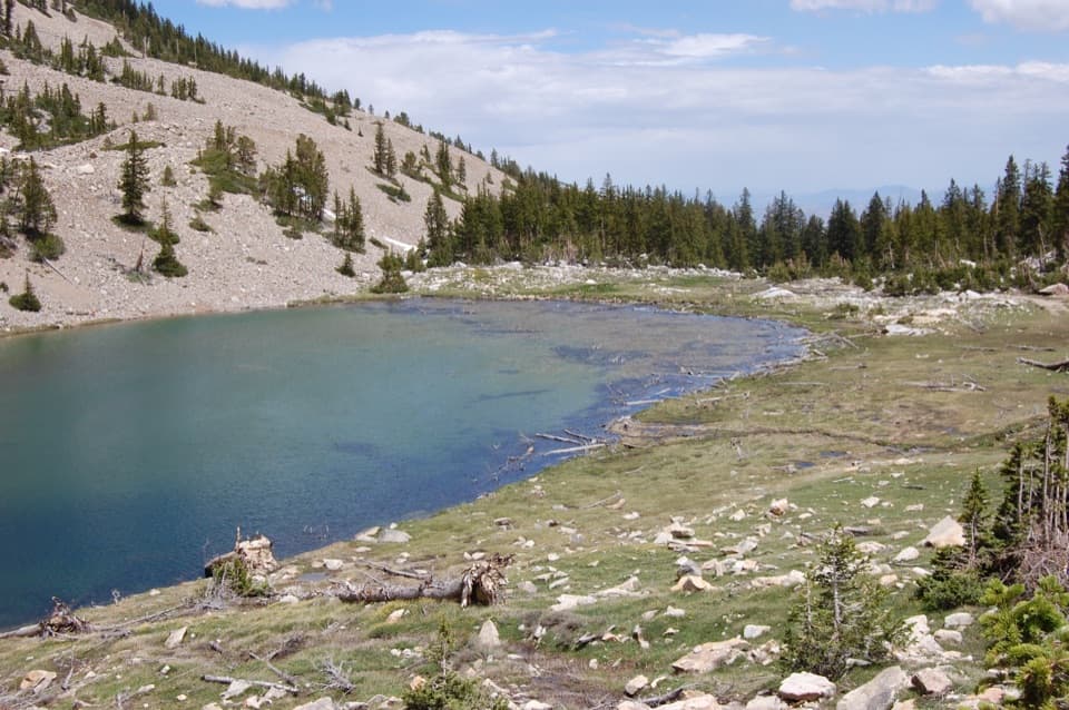 ChallengingJohnson Lake via Baker Creek9.8 mi · 6.5 hr · 1.9 mi awayA steep climb to a high lake and old tungsten mine ruins.
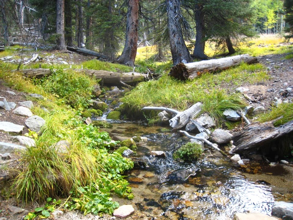 ModerateBaker Creek Loop3.3 mi · 2.3 hr · 1.9 mi awayCreek crossings, hillside switchbacks, and a meadow return.ChallengingBaker Lake Trail10.4 mi · 8 hr · 1.9 mi awayA high alpine lake at the end of a full-day climb.
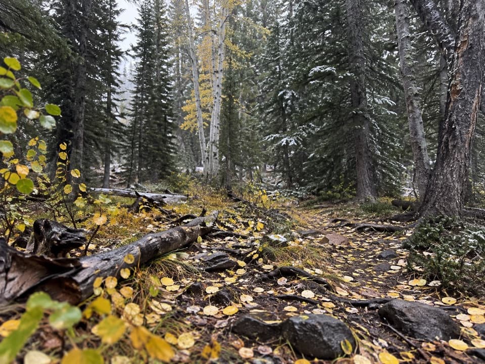 ModerateLower Lehman Trail1.1 mi · 45 min · 2.3 mi awayA short creekside walk with about 230 feet of climbing.
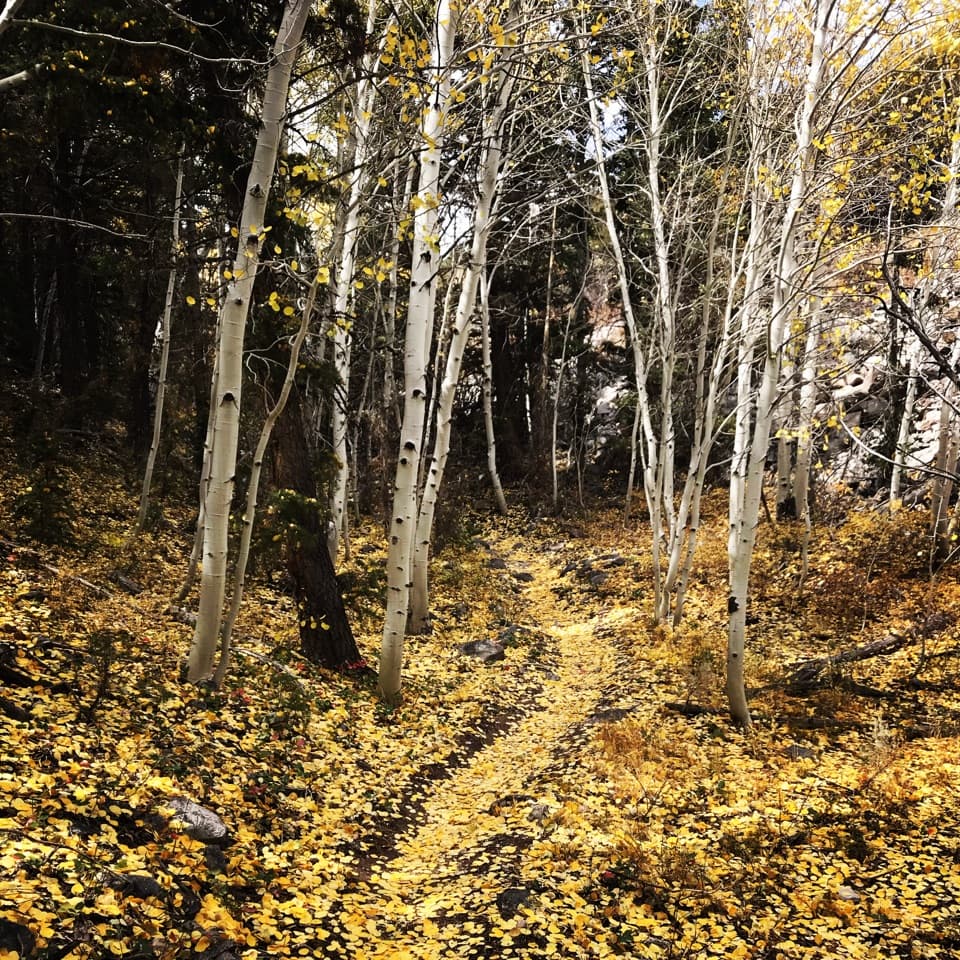 ChallengingLehman Creek Trail6.4 mi · 4.5 hr · 2.6 mi awayA 6.4-mile out-and-back climb through aspens to Wheeler Peak views.
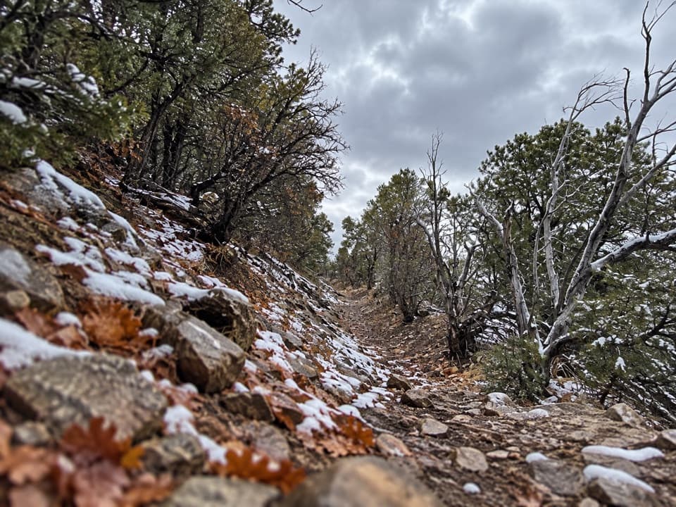 EasyOsceola Ditch Trail3 mi · 1.8 hr · 3.9 mi awayFollow a historic mining ditch to Mill Creek and back.
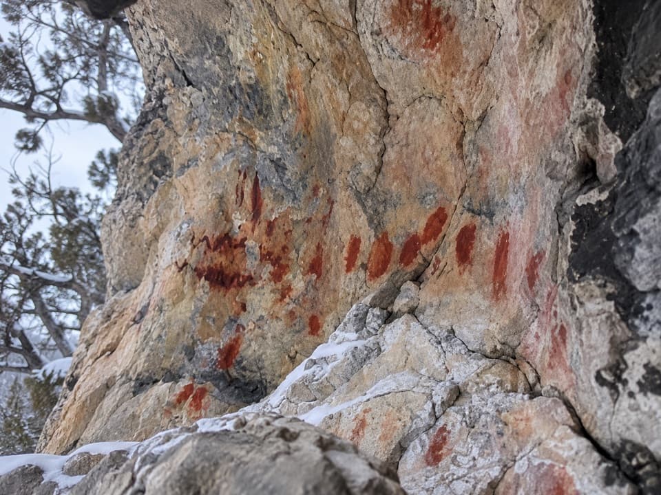 Sight · 0.2 mi awayUpper Pictograph CaveRed pictographs worth a look from outside the shelter.
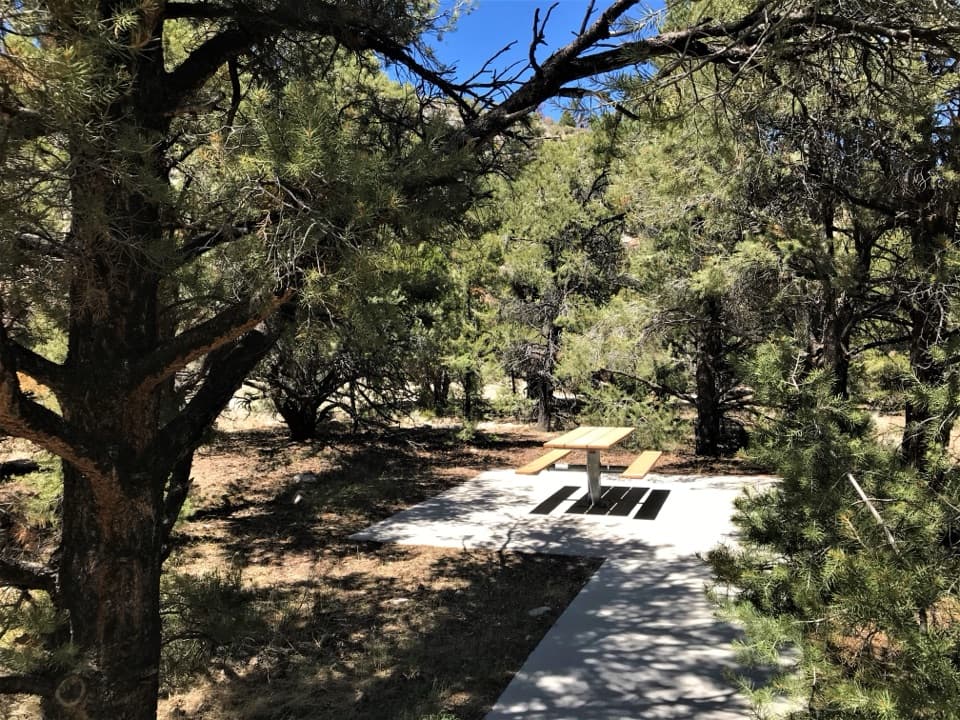 Picnic area · 0.2 mi awayPole Canyon Trailhead Picnic AreaTake a shaded break at accessible tables with charcoal grills.
 Campground · 0.3 mi awayGrey Cliffs CampgroundA 16-site tent campground beside limestone cliffs; bring your own water.
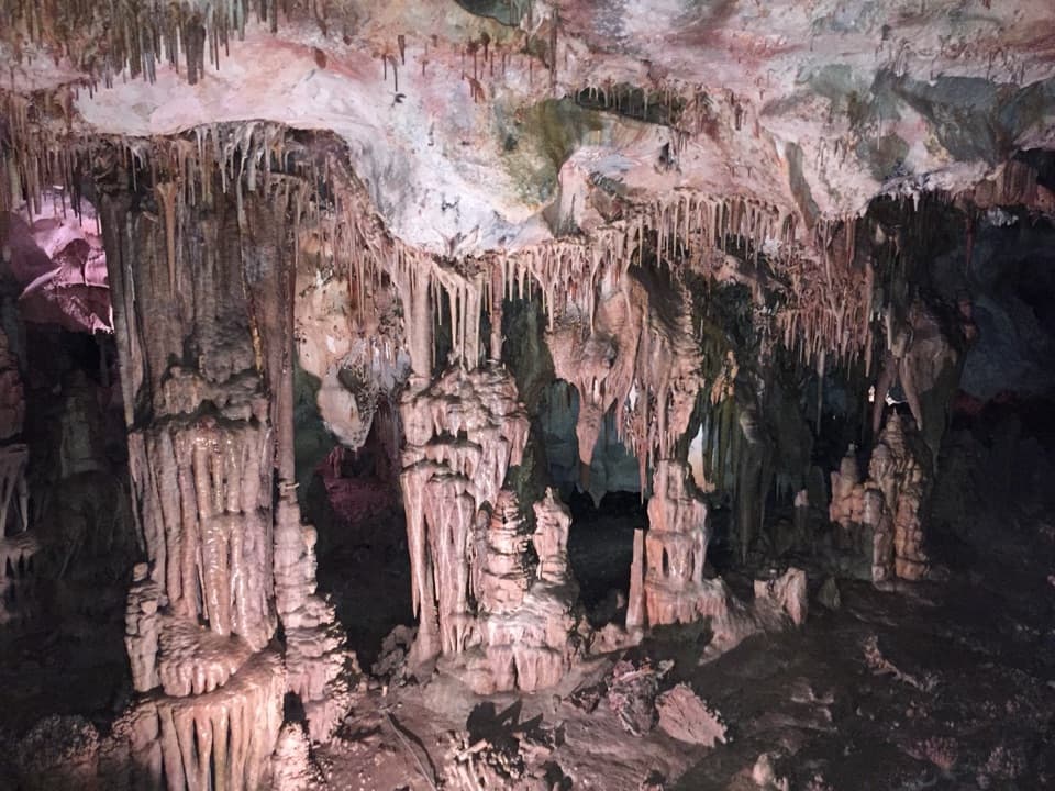 Sight · 1.1 mi awayLehman CavesMore than 300 rare shields make this cave’s ceiling the draw.
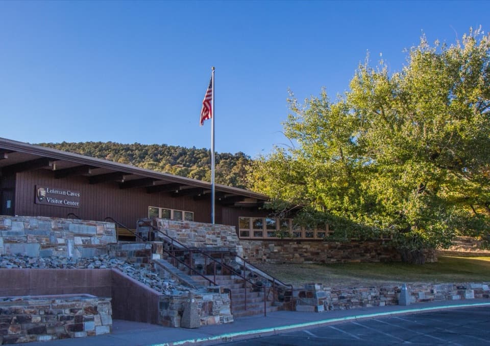 Visitor center · 1.1 mi awayLehman Caves Visitor CenterCave-tour check-in, a model cave, and a night-sky room.
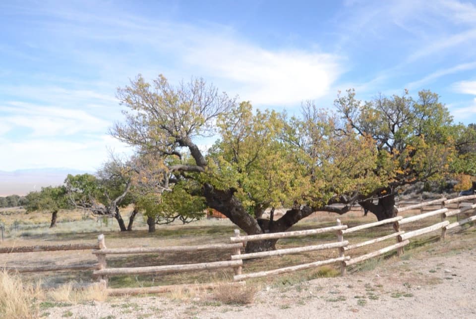 Sight · 1.1 mi awayLehman OrchardOld orchard trees and a historic aqueduct tell a cave-side farming story.
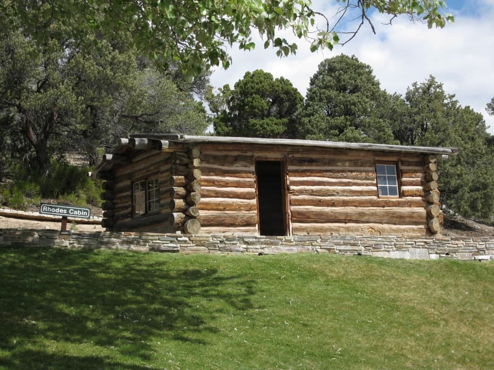 Sight · 1.2 mi awayRhodes CabinA small cabin tied to Lehman Caves' early tourist trade.
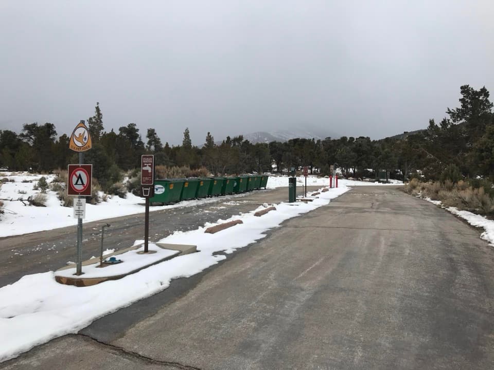 Sight · 1.2 mi awayRV Dump StationAn RV utility stop just inside the park entrance.
Parkwolf’s Great Basin ranking

The audio tour guide for the drive, plus offline maps, trails, and wildlife heatmaps for when the signal drops.