Challenging

Lehman Creek Trail

Steep creekside climb between campgrounds with big aspens and views
Lehman Creek Trail, Great Basin National Park
Distance6.5 mi
Typical time4 hr
DifficultyChallenging
PetsNot allowed

Overview

Lehman Creek Trail is a stout, scenic climb along a lively creek in the South Snake Range. It runs between Upper Lehman Creek Campground and Wheeler Peak Campground. Expect roughly 6.5 miles total (out and back) with about 2,030 feet of elevation gain and a typical moving time near 4 hours. It’s a sustained grade with some steep stretches—rewarding if you like a workout and changing mountain habitats.

Route and scenery

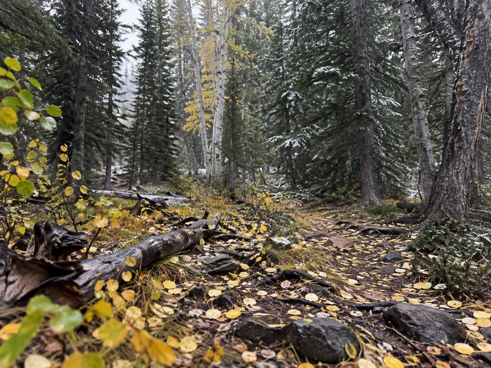
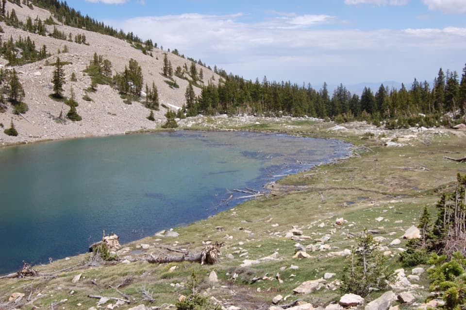
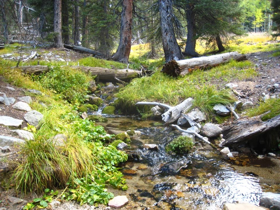
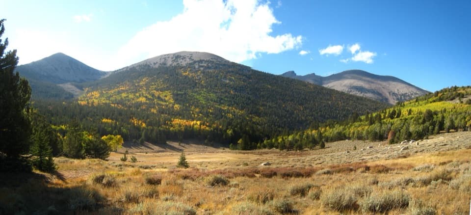
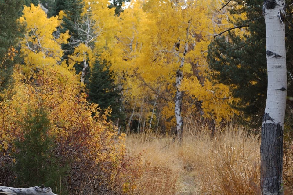
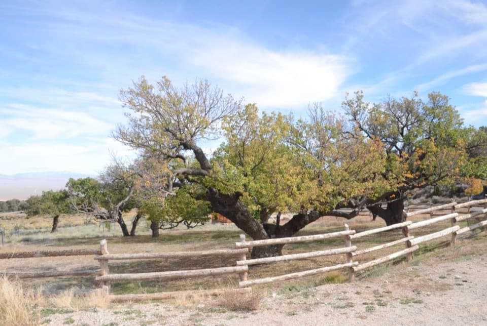
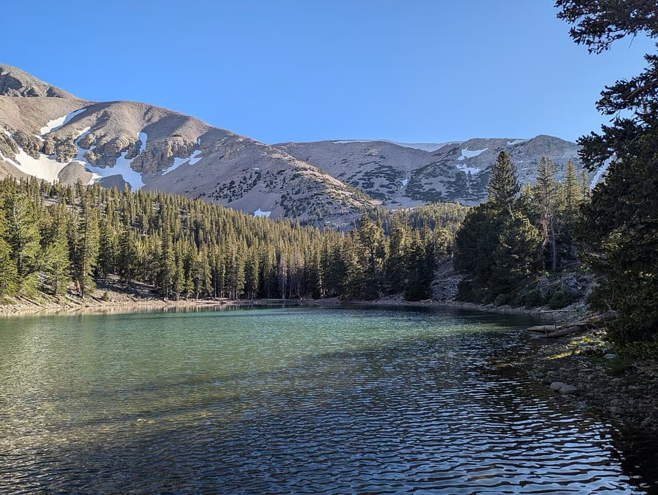
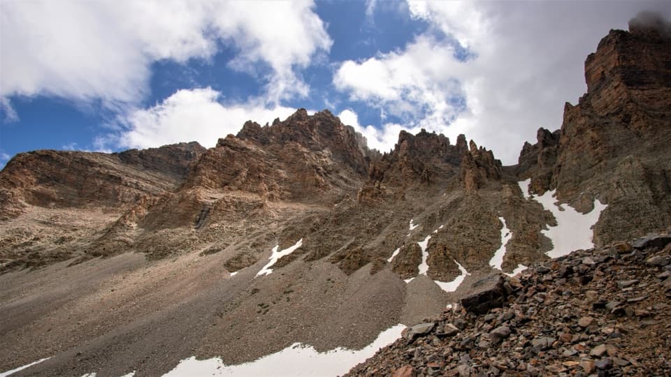
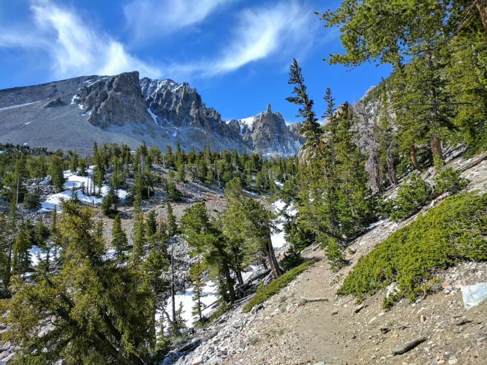
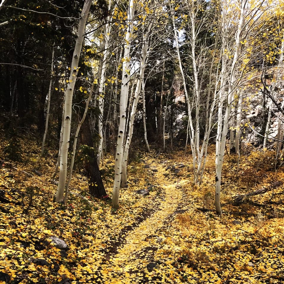
From Upper Lehman Creek Campground, the trail follows the creek through pinyon-juniper and aspen stands, then transitions into mixed conifers and subalpine meadows as you near Wheeler Peak Campground. The tread can be rocky, and the climb is steady. Spring to early summer brings strong wildflower displays, and the quaking aspens here are impressive. Along higher sections, you can catch broader basin-and-range vistas, including views toward the Reese River Valley to the west and Big Smoky Valley to the east.

Trailheads and logistics

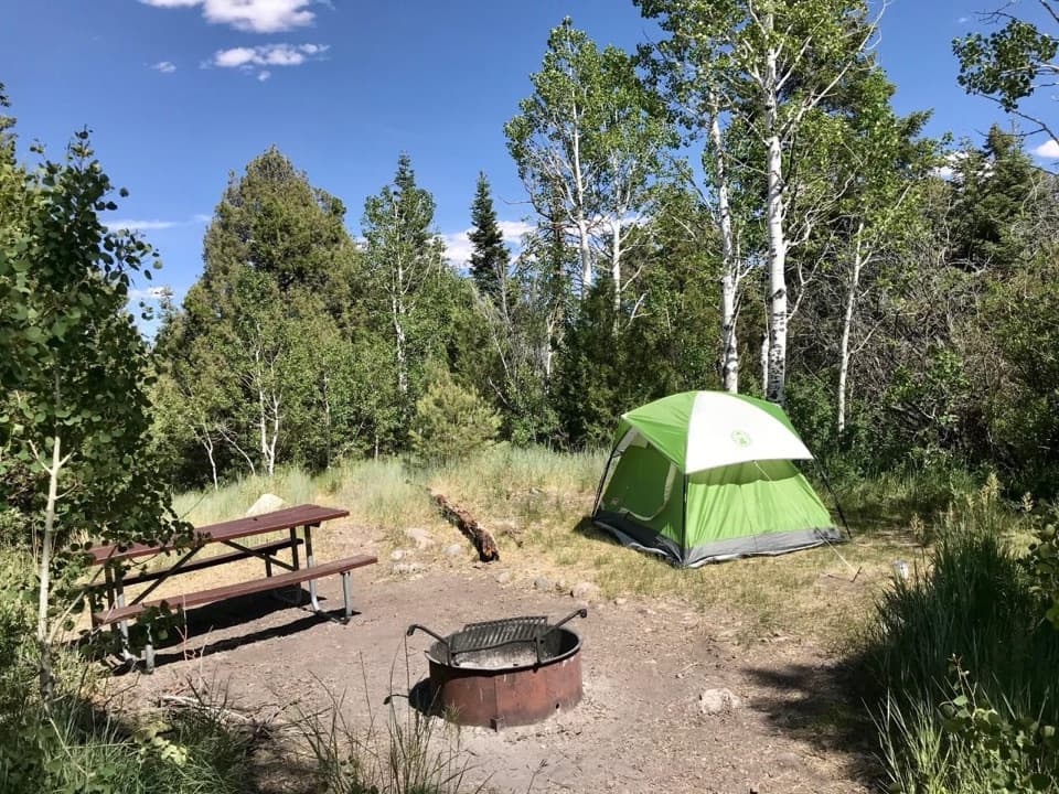
Start at the far end of Upper Lehman Creek Campground off the paved Wheeler Peak Scenic Drive (8% grade). Parking at this trailhead is limited, so arrive early. Vehicles longer than 24 feet are not permitted beyond Upper Lehman Creek Campground. If you have two vehicles, consider a point-to-point: start at Wheeler Peak Campground and hike down to Upper Lehman for an easier day; uphill the full way is strenuous. Beginning from Lower Lehman Creek Campground adds distance and elevation. In winter, the scenic drive often closes around the Lehman Creek trailhead, making this the quickest route to access higher elevation trails.

Best times to hike

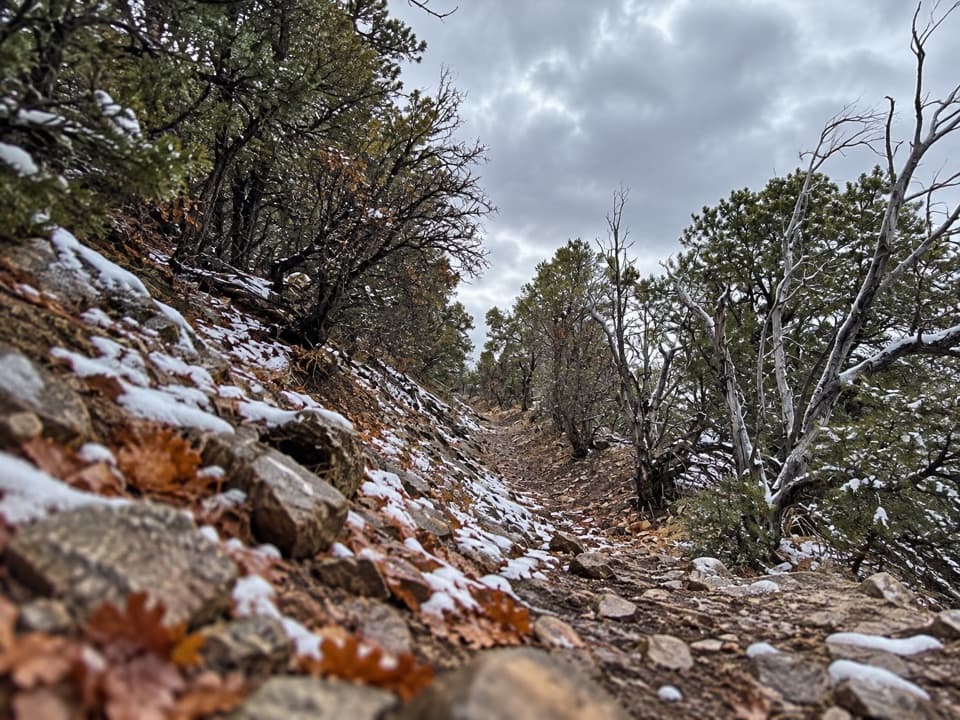
Late spring through fall is best. Snow can linger at higher elevations into early summer, and outside of summer you should be prepared for icy or snowy sections. Lower segments can be hot and more exposed—start early for cooler temps and easier parking. Summer offers dry trail conditions and peak wildflowers.

Maps and navigation

Grab the official park map (printable and interactive options exist), and consider downloading the park in the National Park Service app for offline use. Avenza provides free georeferenced park maps. For topo detail, the area is covered by USGS 7.5-minute quads; Wheeler Peak and Windy Peak are the key sheets for this corridor.

Tips

Sturdy hiking shoes or boots are smart on the rocky tread; trekking poles help on the climb and descent. Lehman Creek flows near portions of the route—treat or filter if you plan to use it. The altitude (roughly from the upper 7,000s to near 9,700–10,000 feet) makes the effort feel bigger—pace accordingly. If you don’t love sustained climbing, shuttle and hike it downhill. In winter, this trail becomes a prime access to the upper mountain when the road closes.

Pros

  • Point-to-point shuttle makes a mostly downhill version possible
  • Quick winter access to upper trails when the scenic drive closes
  • Diverse habitats from creekside pinyon-juniper to subalpine aspen

Cons

  • Sustained steep grade that can feel relentless
  • Trailhead parking at Upper Lehman is limited

Parking

Park at the end of Upper Lehman Creek Campground; spaces are limited, so arrive early. Access via the paved Wheeler Peak Scenic Drive (8% grade). Vehicles over 24 feet are not permitted past Upper Lehman Creek Campground.

Caution

Steep, rocky tread at altitude with snow possible outside summer; winter road closures often occur around the trailhead. Vehicles longer than 24 feet cannot continue past Upper Lehman Creek Campground.

The Parkwolf tour guide sitting on a phone mounted in a car

Parkwolf Tour Guide

Like a tour guide in your car.

Bring Great Basin trail research into the car, with offline maps and stories that play as you drive.Download Parkwolf on the App Store