
Place · 0 mi away
Challenging
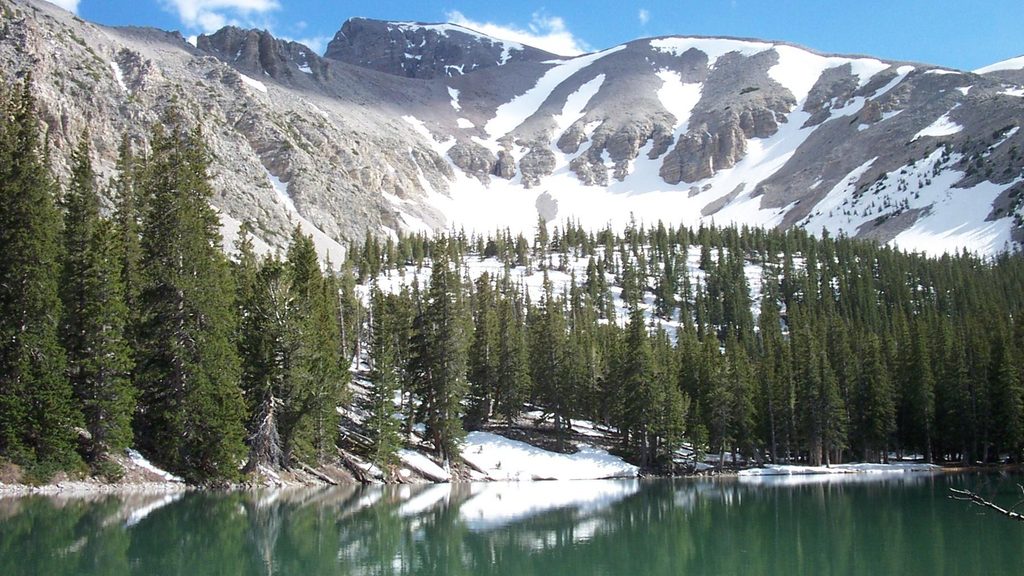
If you’re hunting for Great Basin’s quiet side, this is it. The Snake Divide is a long, committing out-and-back that rewards steady grinders with sweeping ridgeline vistas, ancient bristlecone pine groves, and an optional summit of Mt. Washington. Plan on 13.4 miles total if you include Mt. Washington, or about 12 miles round trip if you turn around at the upper bristlecone grove. Some hikers stop even earlier at the divide, which shortens the day, but expect a stout climb and thin air whichever turnaround you choose.
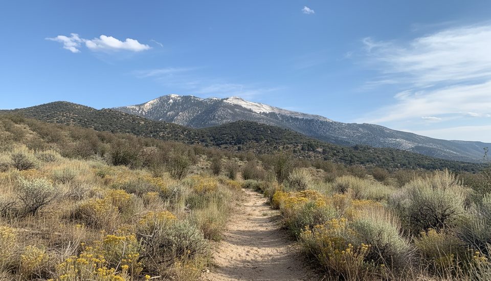
Start from the Snake Creek Trailhead at the end of Snake Creek Road and climb through mixed forest and aspen toward open subalpine slopes. Near the top, you’ll pass two remarkable bristlecone groves—Magic Grove and the Mt. Washington Grove—where gnarled, ancient trees cling to harsh, high-elevation soils. From the divide, views fan out to Wheeler Peak and the park’s alpine basins; on a clear day you can even pick out the small glacier tucked under Wheeler. Strong parties can tack on Mt. Washington for bigger views and a proper summit finish.
On paper this route can look "moderate," but in practice it feels difficult: over 3,000 feet of gain, long mileage, altitude, and sections of faint tread. The lower approach is straightforward, but higher up the Snake Divide branch can be hard to follow. You’ll encounter cairns and occasional flagging—do not add or move them—and you should carry offline maps or a GPX, plus a paper map and compass, and know how to use them. Expect 7–12 hours depending on fitness, turnaround point, and conditions.
The Snake Creek side stays snowy into early summer and the road can close in winter. Aim for late June through September in most years. Shoulder seasons (spring/late fall) can bring lingering snow, patchy ice, and complicated route-finding. Start early to bank cool temps and beat typical summer afternoon winds or thunderstorms. This route sees far fewer hikers than the Wheeler Peak corridor, so crowding is rarely an issue—solitude is part of the draw.
There’s no potable water along Snake Creek Road or on the ridge—pack what you need (a full gallon per person for a full-day push is a smart target). Pit toilets are at the trailhead. Dogs aren’t allowed on park trails (service animals excepted). Bristlecone wood is protected; don’t collect or burn downed wood. Park only in designated spaces at the trailhead.
If you like big, quiet days with a bit of route-finding, this is an underrated gem. If you want a shorter, better-signed bristlecone experience with glacier views, consider the Bristlecone & Glacier Trail from the Wheeler Peak area instead. Either way, bring layers, sun protection, plenty of water, and treat weather and navigation with respect.
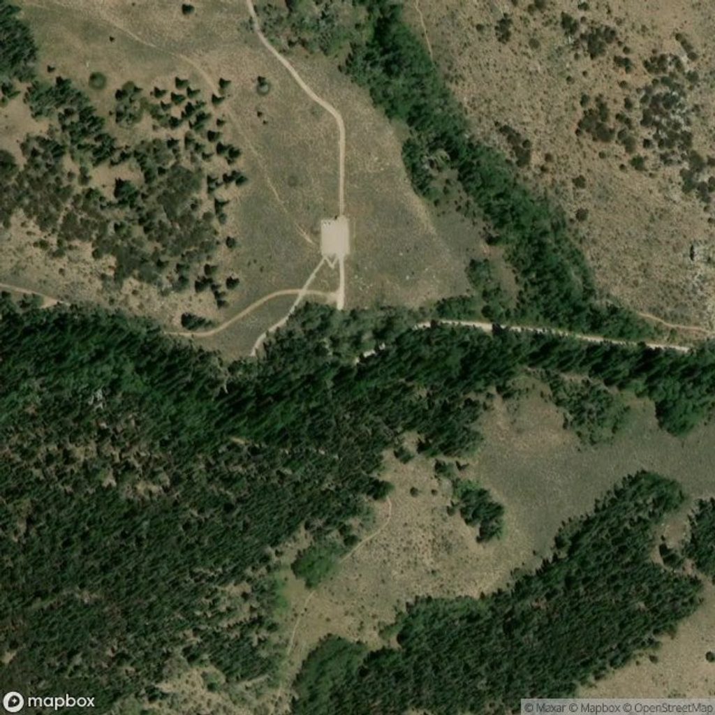
Park at the Snake Creek Trailhead at the end of Snake Creek Road; use designated spaces only. Pit toilets available.
Upper trail is faint and cairn-reliant; carry offline maps and know how to navigate. High elevation, fast-changing weather, seasonal snow, and no water along the route.
Place · 0 mi away
Place · 1.7 mi away
Place · 2 mi away
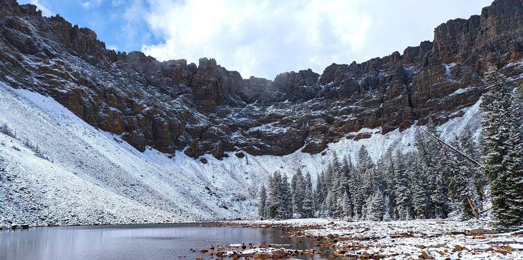
Place · 3.4 mi away
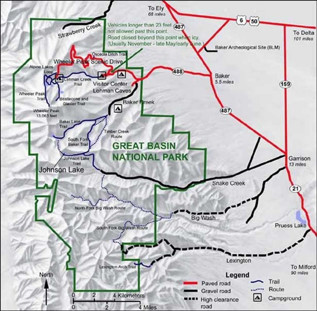
Challenging · 0 mi away
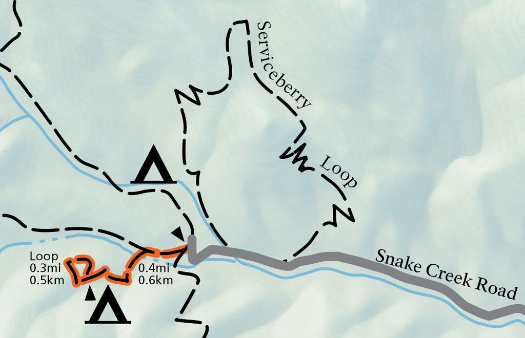
Easy · 0 mi away
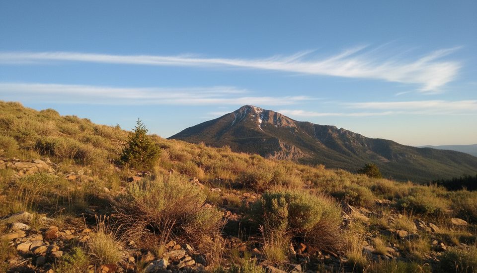
Easy · 0 mi away
Moderate · 0.3 mi away

Parkwolf Tour Guide
