
Place · 0.3 mi away
Moderate
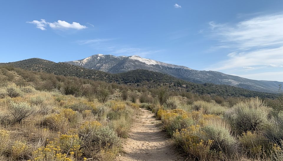
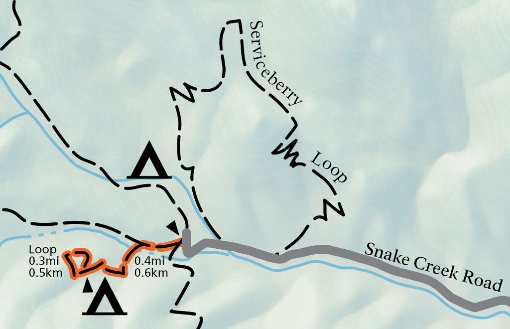
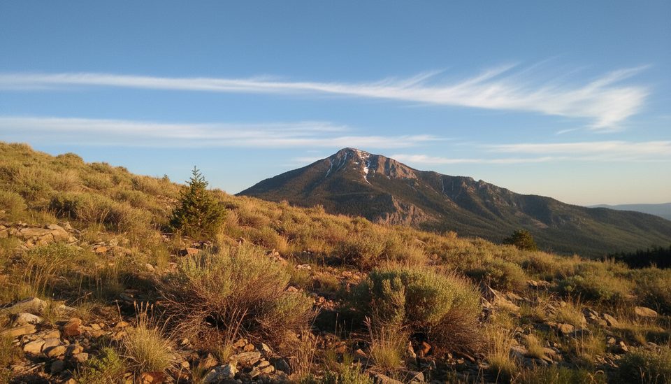
This is a short, scenic loop through the Snake Creek side of the park, logging about 3.0–3.2 miles total with roughly 650–730 feet of gain. It’s a lower‑commitment hike that still delivers variety—serviceberry and mountain mahogany, pockets of aspen, and open views over Snake Creek. Expect a moderate feel mainly from altitude; the loop approaches 9,000 feet and makes a nice acclimatization walk if you’re new to Great Basin’s elevation.
The path is well‑maintained and well‑marked, with a few steeper or slightly off‑camber sections. Highlights include shady stretches beneath mountain mahogany and aspen stands, occasional wildlife (deer show up), and late‑season flowers like daisies and lupines. Keep an eye out for interesting rock intrusions noted along the loop and pause at the high point for broad looks across the Snake Creek area.
Start on the right and hike counterclockwise. That direction softens the initial climbing and saves the aspen forest and creek-side descent for the second half. It’s the smoother way to stack the grades and the more pleasant finish.
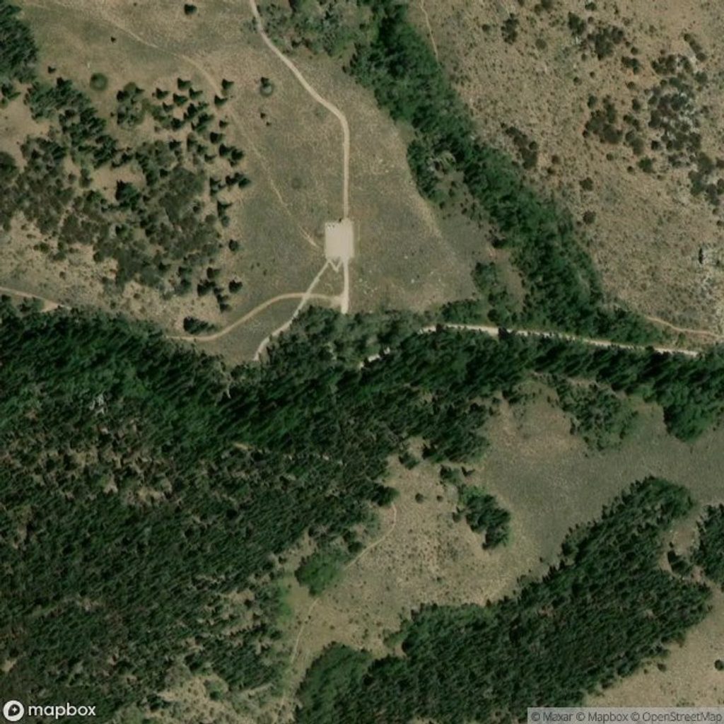
The trail begins from a small signed pullout off Snake Creek Road, a graded dirt road that’s typically passable to passenger cars when dry but can be narrow, dusty, and a bit rough—take it slow. Parking is limited (about 4–5 vehicles), so arrive early or target off‑peak times.
This loop works most of the season when the road is open. Mornings bring cooler temps and easier parking. Summer can feel warm on exposed bits; fall color in the aspens can be lovely from late September into October. In shoulder seasons, shaded sections can hold snow or ice. Cell service is spotty.
Bring all the water you need; backcountry water isn’t reliable. Johnson Creek runs near the start/finish, but treat it as a pleasant bonus, not a guaranteed refill. Weather changes quickly here—afternoon storms and wind are possible even in summer—so pack a layer. Pets are not permitted on this trail.
Small roadside pullout on Snake Creek Road with space for roughly 4–5 cars; dirt approach road is narrow, dusty, and bumpy in spots—drive slowly.
Unpaved access road; limited parking; no reliable water on the loop; variable mountain weather with potential afternoon storms; altitude near 9,000 ft and brief off‑camber sections.
Place · 0.3 mi away
Place · 2 mi away
Place · 2.3 mi away
Place · 3.6 mi away
Challenging · 0.3 mi away
Challenging · 0.3 mi away
Easy · 0.3 mi away
Easy · 0.3 mi away

Parkwolf Tour Guide
