Place · 0.4 mi away

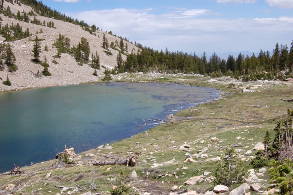
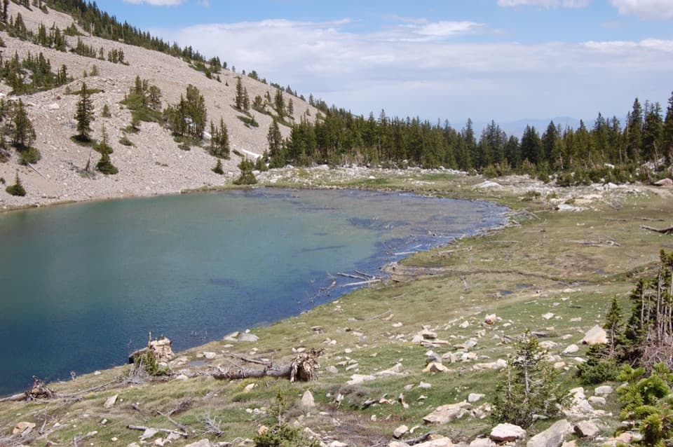
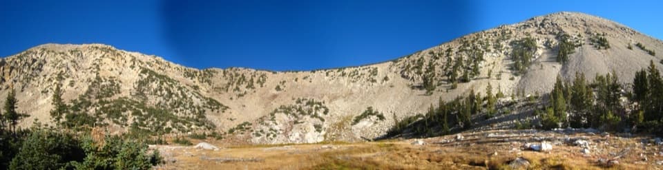
Perched near 11,000 feet, the Johnson Lake Mine Historic District is a rare, high‑alpine window into early 1900s tungsten mining. Cabins, mill structures, a boarding‑house complex, and remnants of an aerial tramway dot the cirque around Johnson Lake. The site closed after a 1935 snowslide destroyed the tram terminal and was later listed on the National Register of Historic Places.
There isn’t a formal side trail to every artifact near the lake. Expect short informal paths and look, don’t touch. Do not enter structures or adits; this is a fragile archaeological site.
Both approaches follow sections of the old mine road and grow steep near the lake. Expect occasional downed trees and variable maintenance.
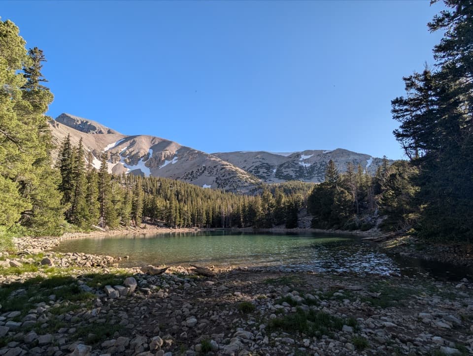
Above the mill, the route steepens on the old road grade. Near the lake, you’ll pick your way among dispersed ruins in a subalpine bowl. Elevation is the real crux—weather shifts fast at 10,000+ feet. Water may be present in upper streams or the lake, but don’t rely on it without a backup plan and always treat it.
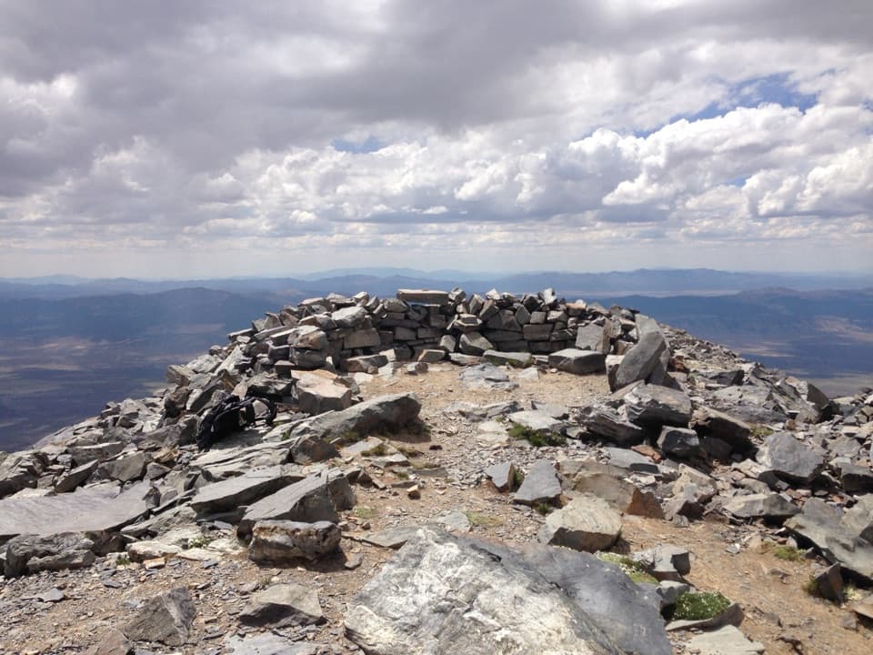
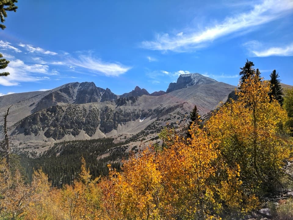
Strong hikers often link Johnson Lake with Baker Lake for a bigger day and ridge views of Wheeler Peak and Baker Peak. Parts of the high routes are faint use trails—navigation skills help above treeline.
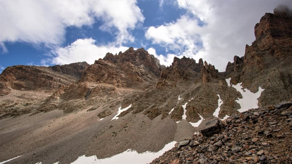
Snow commonly lingers near Johnson Lake into early summer; traction can help in the shoulder seasons. Spring brings wildflowers; in winter the lake can partially freeze. For the most straightforward conditions, aim for late summer when lingering snow is least likely.
This is a protected cultural landscape—take only photos and report any damage at a visitor center. Backpacking is allowed in the park with a free permit encouraged; expect restrictions such as no camping within 1/4 mile of historic sites, plus standard Leave No Trace practices. Verify current rules before you go.