
Place · 0 mi away
Easy
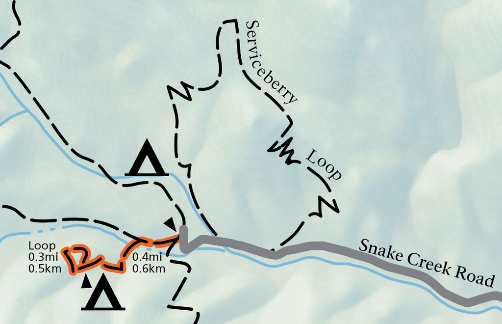
This is a short, quiet leg-stretcher at the very end of Snake Creek Road. Officially about 1.1 miles total with roughly 300–350 feet of gain, most hikers take 40–60 minutes. It’s a compact “lollipop”—a brief approach to a small loop—so mileage varies a bit (some track closer to 1.3 miles depending on where you start/stop and how you do the loop). Expect a peaceful creek, big trees, and filtered views rather than grand panoramas.
Start from the Dead Lake/Snake Creek trailhead at the road’s end. You’ll cross the creek (multiple bridges) and pass a couple of walk-in campsites with picnic tables and fire grates before the trail climbs an old road grade to the loop. The loop threads through mixed forest to a bench where you get peeks at Pyramid Peak and the lower valley. Keep an eye out for a massive dead ponderosa with living ponderosas nearby—the contrast is striking. The route tops out around 8,500 feet, so that short uphill can feel punchy.
The corridor mixes riparian scenes with openings and conifer forest: ponderosa pine, Douglas-fir, white fir, and even the occasional bristlecone in the area. In late spring, hikers often notice Oregon grape and manzanita blooms. The ambiance is the selling point: flowing water, shade, and birdsong. Views are present but modest—more glimpses than sweeping vistas. The parking area itself frames limestone scenery, adding a nice pre/post-hike lookabout.
If you’re already exploring the Snake Creek side, yes—this is an easygoing, uncrowded sampler. If you’re chasing big views, this isn’t your headline hike. It’s best as a mellow add-on or a cool-down after something longer nearby. For more mileage or bigger scenery in the same corridor, consider the Serviceberry Loop, Johnson Lake, or the strenuous Snake Divide route.
April through October is the sweet spot. Snake Creek Road is gravel/dirt and can be rough after heavy rain; it typically closes with winter conditions and reopens as snow melts. Go early or on weekdays for solitude and softer light under the trees. Warmer months bring bugs—off-peak hours and repellent help.
Dogs aren’t allowed. Footing is straightforward but the elevation gain is concentrated—pace yourself at altitude. The trail is not ADA accessible. Check the status of Snake Creek Road before you go; conditions can change quickly.
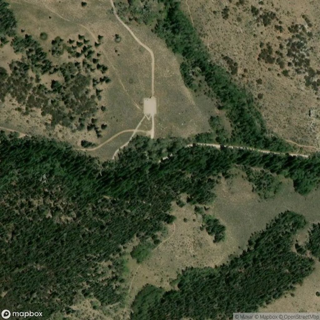
Park at the Dead Lake/Snake Creek trailhead at the end of Snake Creek Road (gravel/dirt). Limited turnarounds; trailers not advised. Walk-in campsites sit just off the start of the trail.
Snake Creek Road can be rough or closed after rain, snow, or ice; check status before you go. Short but concentrated climb at ~8,500 ft can feel tougher than it looks. Insects are common in warmer months. No dogs on this trail.
Place · 0 mi away
Place · 1.7 mi away
Place · 2 mi away
Place · 3.4 mi away
Challenging · 0 mi away
Challenging · 0 mi away
Easy · 0 mi away
Moderate · 0.3 mi away

Parkwolf Tour Guide
