
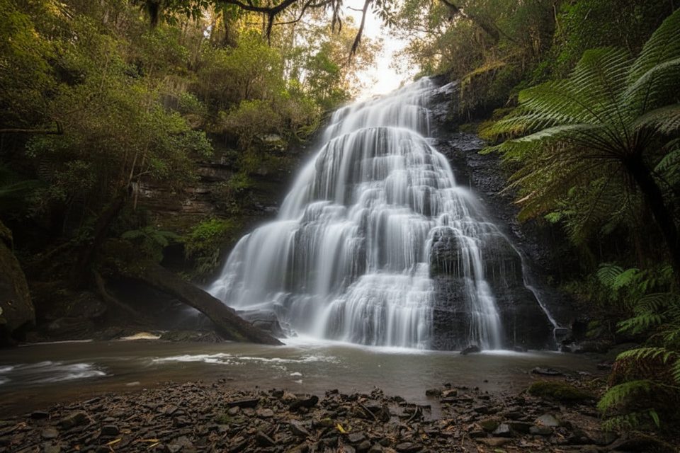
Place · 0.6 mi away
Easy
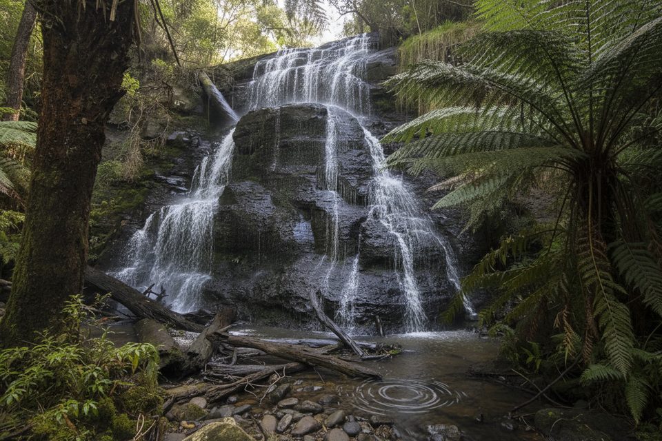
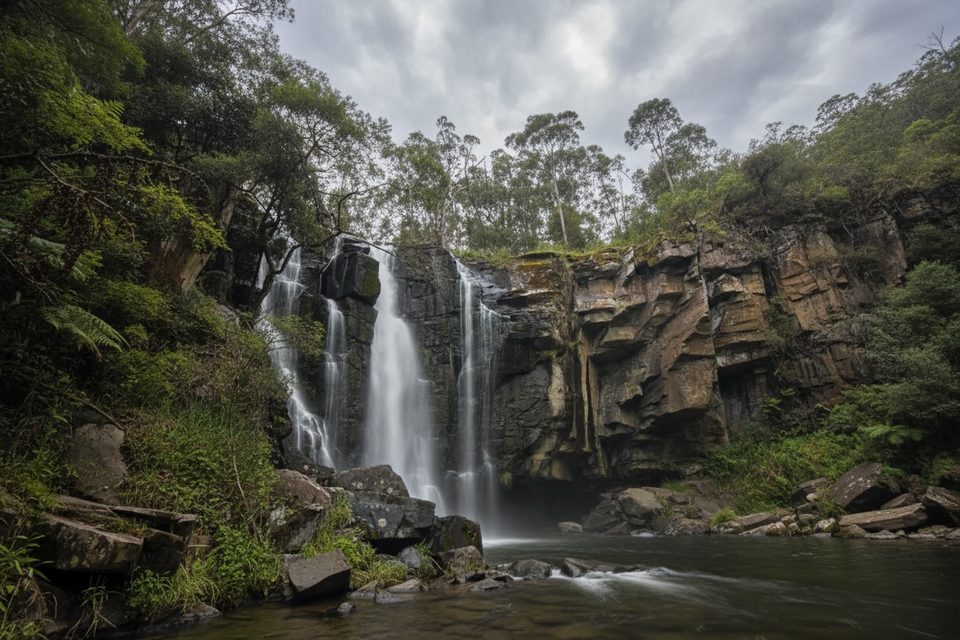
A short, easy rainforest ramble in Great Otway National Park, the Henderson Falls Walk threads through lush fern gullies and tall eucalypts to a delicate 8–10 m cascade dropping into a small pool. Expect a mostly gentle grade with a couple of minor rises and formed earthen tread underfoot.
From Sheoak Picnic Area, the walk is roughly 3.6 km return (about 2.2 miles) and typically takes around 1 hour at a relaxed pace. Some guides note variations by start point, but the experience remains an easy out‑and‑back suitable for most abilities.
Follow the well‑signed track from Sheoak Picnic Area; a quick side trip leads to the Won Wondah Falls lookout partway along, giving you two waterfalls for minimal effort. Wooden bridges help with small creek crossings, and there’s a notably large tree near the bridges to admire. Henderson Falls often runs best after rain and can present anything from a trickle to a photogenic sheet depending on recent weather.
Waterflow is most reliable after rainfall, with a broadly recommended window from June to September. The forested corridor stays shady, which keeps summer glare down but also means the track can be muddy after wet weather—great for falls volume, less great for sneakers.
Start at Sheoak Picnic Area on Garvey Track (off Allenvale Road). Facilities here include toilets, picnic tables, shelter and gas BBQs—ideal for pre‑ or post‑walk downtime. The access road is unsealed gravel: usually fine for 2WD, but it can be potholed after weather. On‑site signage is good. Dogs aren’t permitted (assistance dogs excepted).
If you want more than a quick wander, you can link from the same area to The Canyon and Phantom Falls for a longer loop (about 8–9.5 km, moderate/Grade 3). Alternatively, the Kalimna Falls track sets out from the same precinct, with Lower Kalimna a standout. These make easy add‑ons without moving the car.
You’re walking across Lower Cretaceous sandstones and shales that streams like Henderson Creek have carved into steep gullies and short cliff lines; nearby, The Canyon narrows into rock‑walled drama. Tracks in this network trace routes from the district’s logging era, and local history ties the creek—and the falls—to pioneer James Henderson.
Park at Sheoak Picnic Area on Garvey Track (off Allenvale Road); unsealed gravel car park with toilets, picnic tables, shelter and gas BBQs. Generally fine for 2WD, but expect potholes after weather.
Expect muddy, slippery sections after rain; variable waterflow at the falls; unsealed access road with potholes; no dogs (assistance dogs excepted).
Place · 0.6 mi away
Place · 0.8 mi away
Place · 0.9 mi away
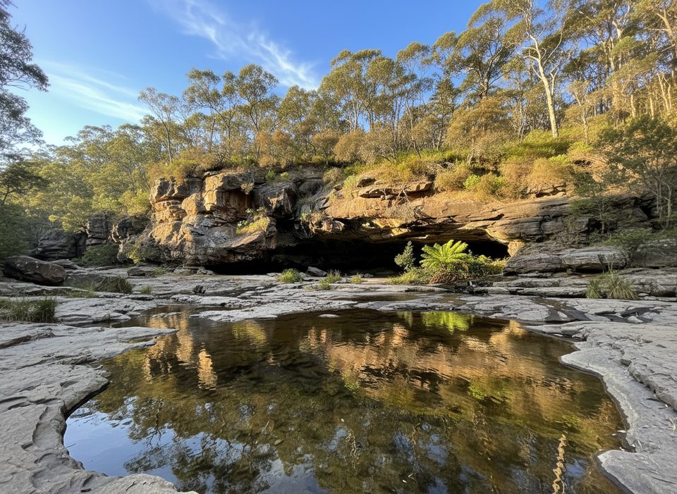
Place · 1.2 mi away
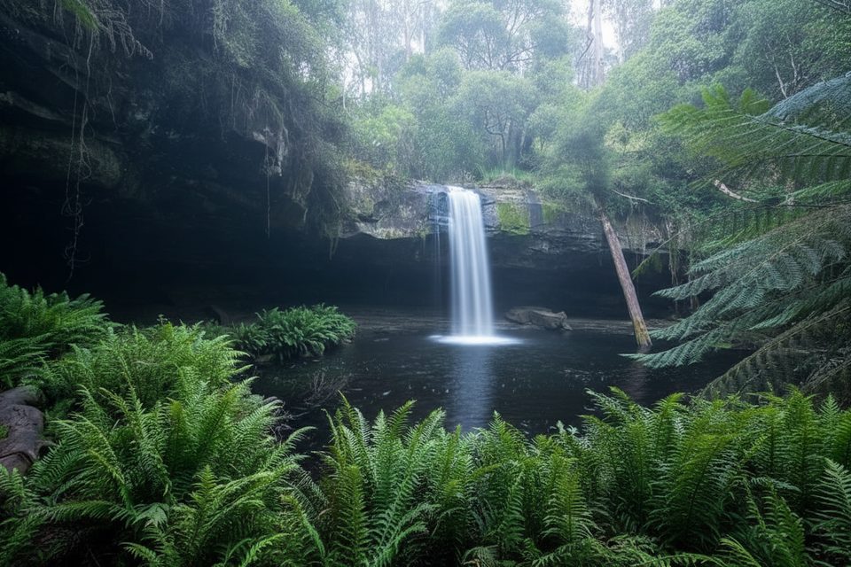
Moderate · 0 mi away
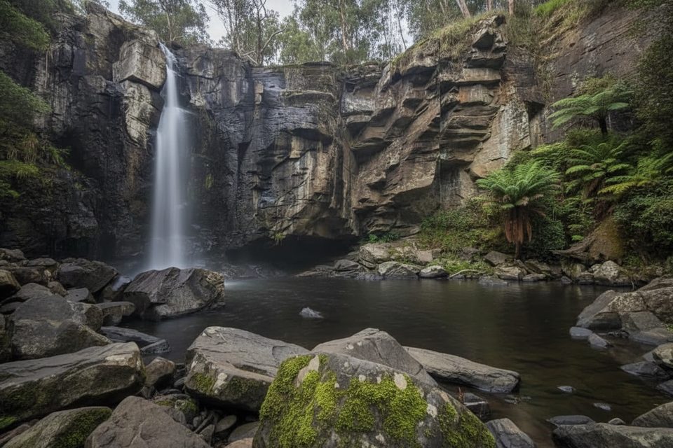
Moderate · 0 mi away
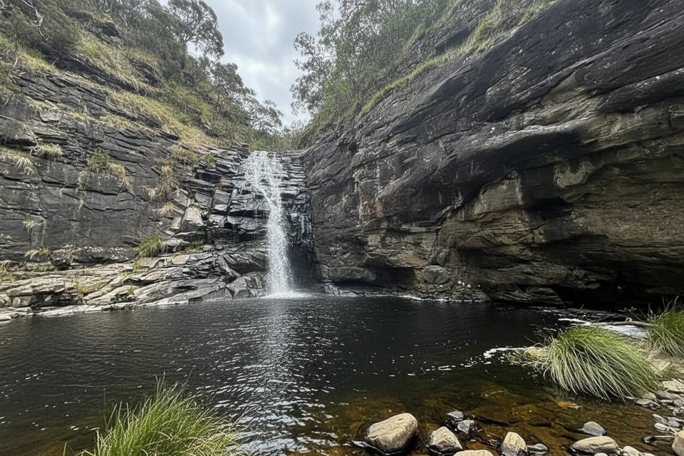
Moderate · 0 mi away
Easy · 0 mi away

Parkwolf Tour Guide
