Pros & cons
PROS
- You can walk behind the waterfall into a broad rock alcove.
- Historic tramway route with interpretive signs adds context to the forest walk.
CONS
- Often muddy with leeches after rain; expect slick footing.
- Upper Kalimna Falls and the tramline link are closed, limiting add-on options.
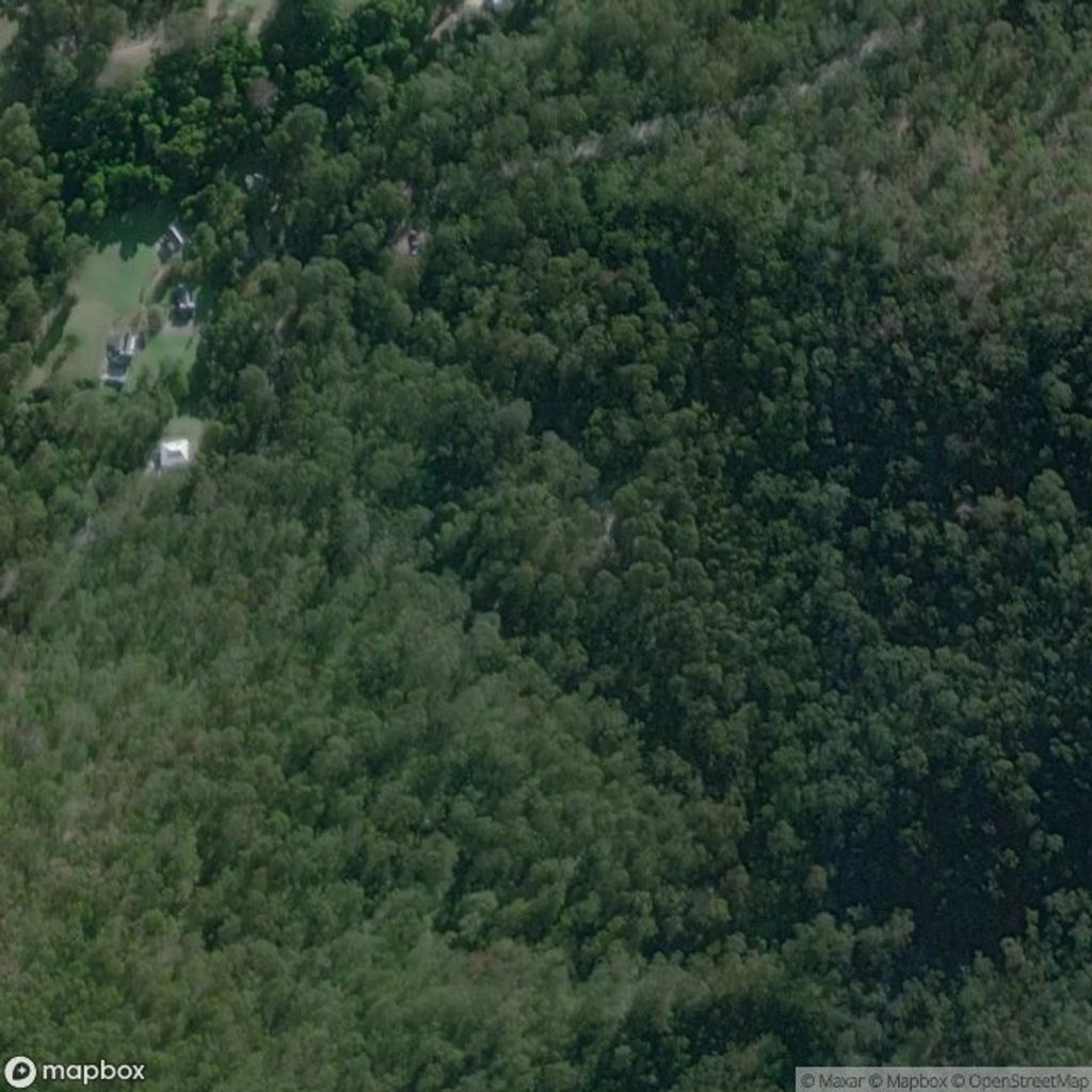
Park at Sheoak Picnic Area, the signed trailhead for the Kalimna Falls Walking Track; toilets and picnic tables are located here.
Slippery, muddy surfaces and wet rock around the alcove; limited or no mobile reception; snakes and falling limbs; fresh echidna and bandicoot diggings create small holes—wear sturdy boots and take a torch for low light.
Overview
This is the classic forest wander to Lower Kalimna Falls in Great Otway National Park. Starting from Sheoak Picnic Area, the track follows a benched path through tall eucalypts and tree-fern gullies, tracing a historic timber tramway toward a graceful curtain of water. It’s a gentle, mostly flat walk with occasional muddy patches after rain.
- Length: about 5.1 miles total, out-and-back (8.2 km). Plan on roughly 2–2.5 hours, not counting long photo breaks. Some guides list a longer day when also continuing to Upper Kalimna Falls, but as of November 20, 2025, Upper Kalimna Falls is closed until further notice, and the Kalimna Tramline link walk is also closed due to bridge damage. Lower Kalimna remains open via the Kalimna Falls Walking Track from Sheoak Picnic Area.
Why go
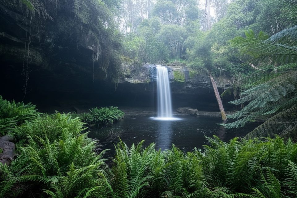
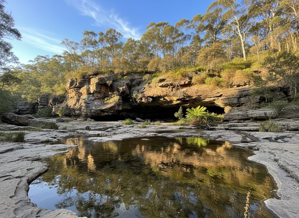
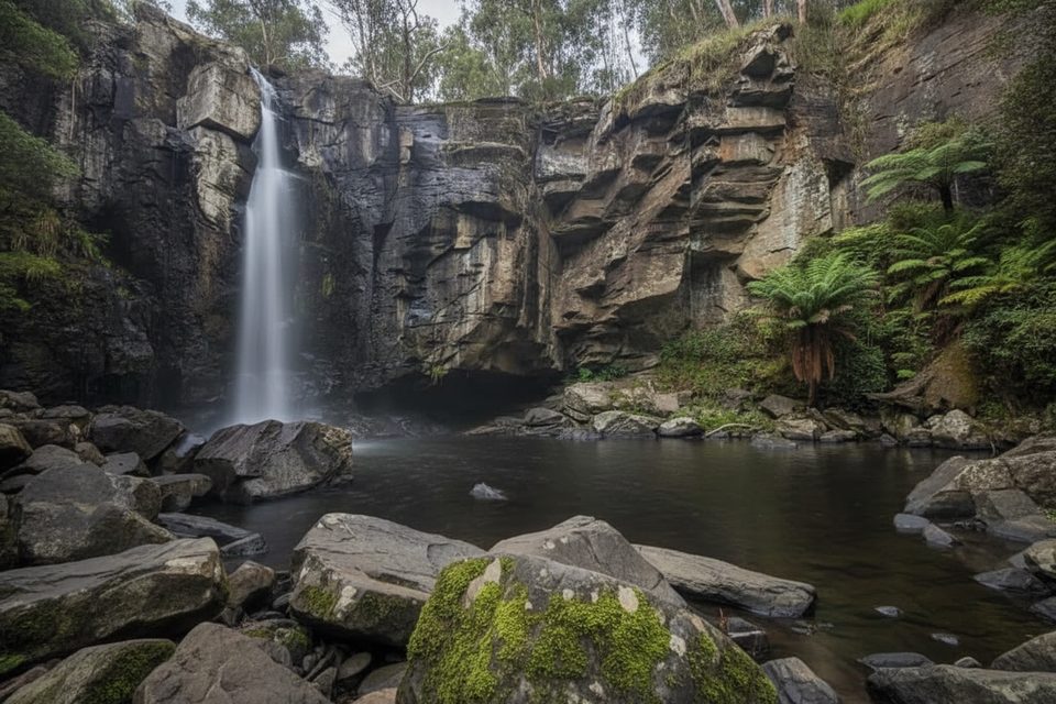
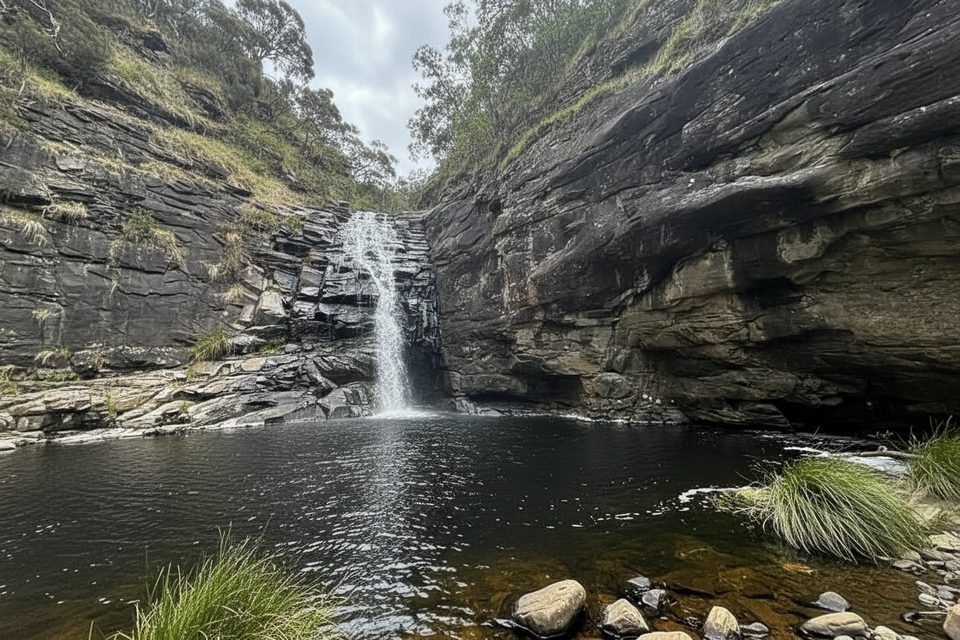
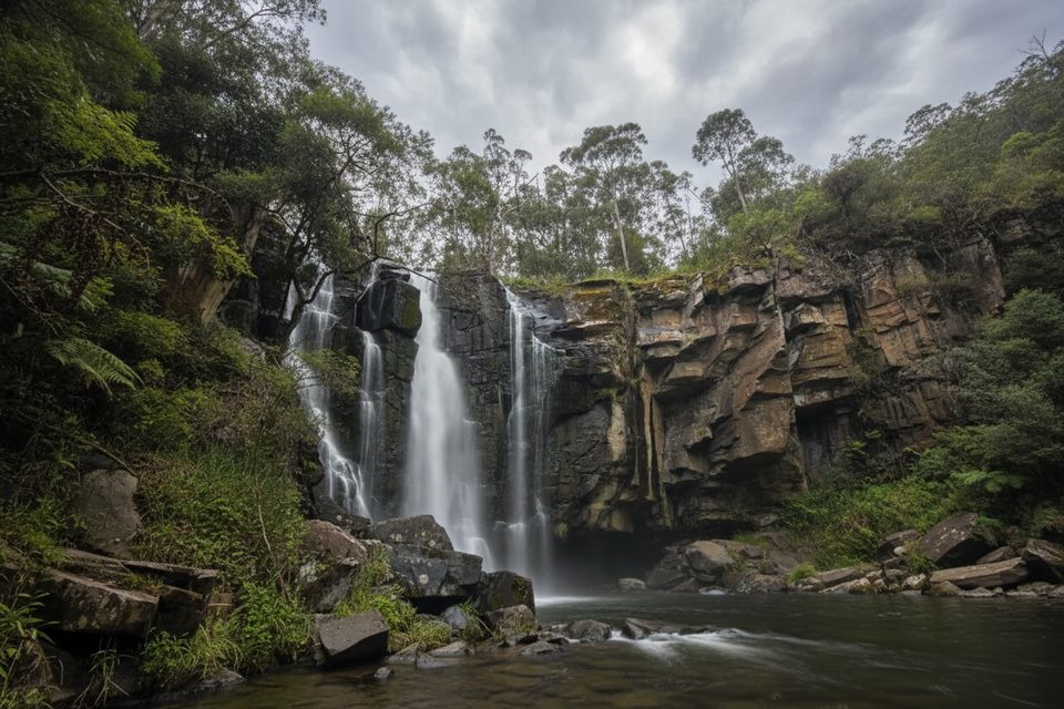
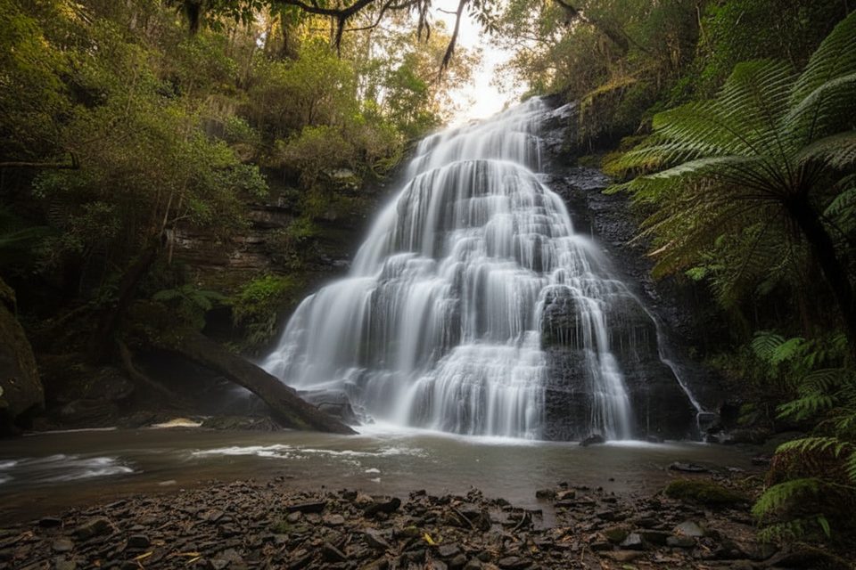
Lower Kalimna’s signature move is the rock overhang that lets you step behind the veil of the falls into a natural amphitheatre. The setting is serene—ferns, filtered light, and a dark plunge pool—making this one of the area’s most atmospheric short hikes. Interpretive signs along the way touch on the old timber-tramway history, adding a bit of story to the scenery.
Trail feel and tips
Expect mostly gentle gradients on a well-formed path with sections that can be wet, slippery, or muddy—especially in winter or after rain. Wear sturdy footwear. Mobile reception is limited to none, so download maps and tell someone your plans. This is a popular walk; for quieter moments and easier parking, start early.
What you’ll see
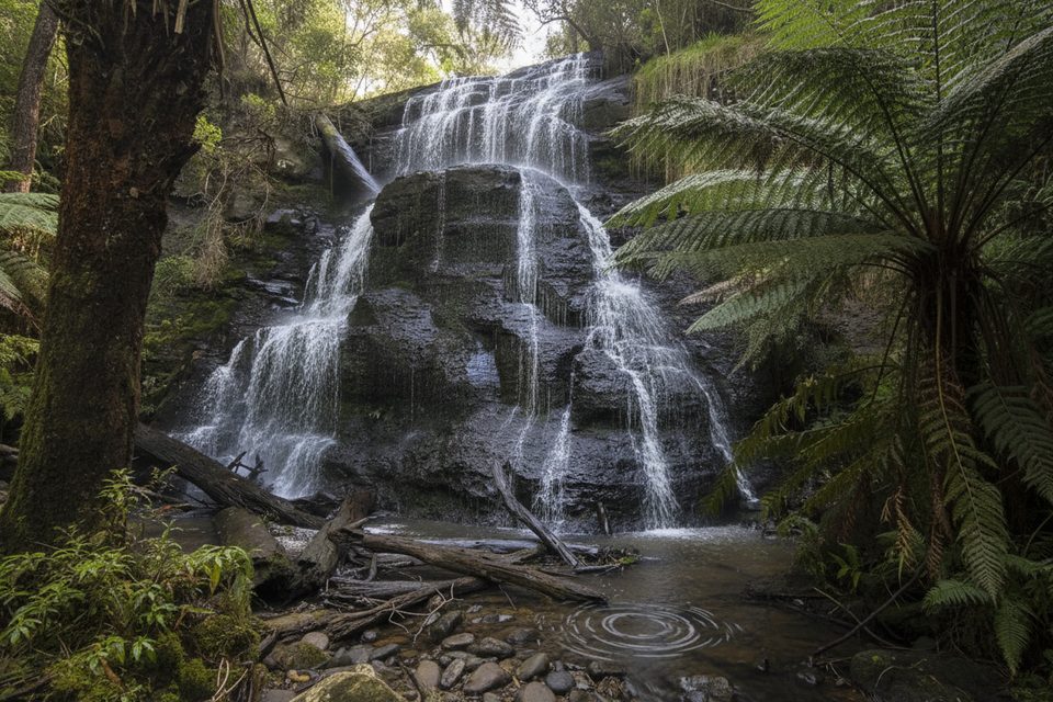
- Lush creek-valley forest of tall eucalypts and dense fern gullies.
- The walk-behind alcove at Lower Kalimna Falls—stay mindful of slick, undercut ledges.
- Occasional wildlife sign and digging from echidnas and bandicoots creating small trip hazards along the verges.
Best time to hike
Lower Kalimna shines after rain when the flow is stronger; in dry spells the curtain can thin, but the cavern-like alcove still delivers a unique experience. Cooler months bring more mud (and often leeches after rain), while weekends and holidays are busier—aim for early morning light on quieter weekdays for photos and solitude.
Know before you go
- Rules: No dogs, bikes, horses, drones without a permit, fires, or motorised vehicles on management tracks. Assistance dogs are permitted; national-park entry requirements apply.
- Hazards: snakes, slippery and uneven surfaces, falling limbs, and very limited mobile reception. Recent digging by echidnas and bandicoots can create ankle-twister holes—watch your step and carry a torch if starting at dawn or finishing at dusk.
Nearby alternatives
If you’re collecting waterfalls around Lorne, other options include Erskine Falls, Cora Lynn Cascades, The Canyon Walk (Phantom, Henderson, and Won Wondah Falls), and Cumberland Falls. Note that the same no-dogs rule applies across these walks.
Where it starts
-38.5545, 143.9432Wildlife on this trail
Near Lower Kalimna Falls Track
All places →All trails →
0 mi awayPhantom Falls and Henderson Falls via The CanyonTwo rainforest waterfalls and a narrow canyon in one moderate loop.Moderate · 5.9 mi · 3 hr
0 mi awaySheoak Falls via Castle RockWaterfall and lookout loop with ocean views and a swallow-filled caveModerate · 6 mi · 3.5 hr
0 mi awayHenderson Falls TrackShady fern gully stroll to a graceful 8–10 m waterfall.Easy · 2.2 mi · 1 hr
0 mi awayWon Wondah Falls TrackQuick rainforest stroll to a small cascade with an easy add-on.Easy · 1.2 mi · 1 hr
0.6 mi awayHenderson FallsShady fern‑gully stroll to a graceful 8–10 m cascadeTrailhead · Parking
0.8 mi awayPhantom FallsShaded Otways waterfall via a short, rewarding forest walkTrailhead · Parking
0.9 mi awayAllenvale CampgroundLeafy walk-in bush camp by the St George River near LorneCampground · Restroom
1.2 mi awaySwallow CaveHoneycombed cave with nesting swallows on the Sheoak Falls walkTrailhead · Parking