Pros & cons
PROS
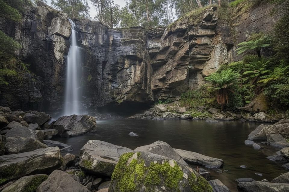
- Canyon section adds a short, fun scramble between two waterfalls
- After rain the falls surge and the ferny forest feels atmospheric
- Flexible routing with easy spurs and loop variants to tailor the day
CONS
- Small parking areas that fill early near popular access points
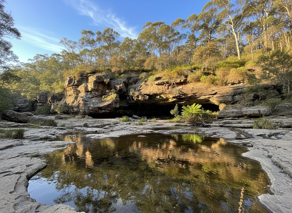
- Can be muddy and slippery after rain with short rocky scrambles
Start from either Allenvale Mill Car Park on Allenvale Road (free campground and toilets) for the full loop, or Sheoak Picnic Area for the out‑and‑back via The Canyon; arrive early as spaces are limited.
Expect muddy, slippery footing after rain and brief rocky scrambles in The Canyon; mobile reception can be patchy—carry an offline map; occasional post‑storm closures—confirm current conditions with the park manager before you go.
Overview
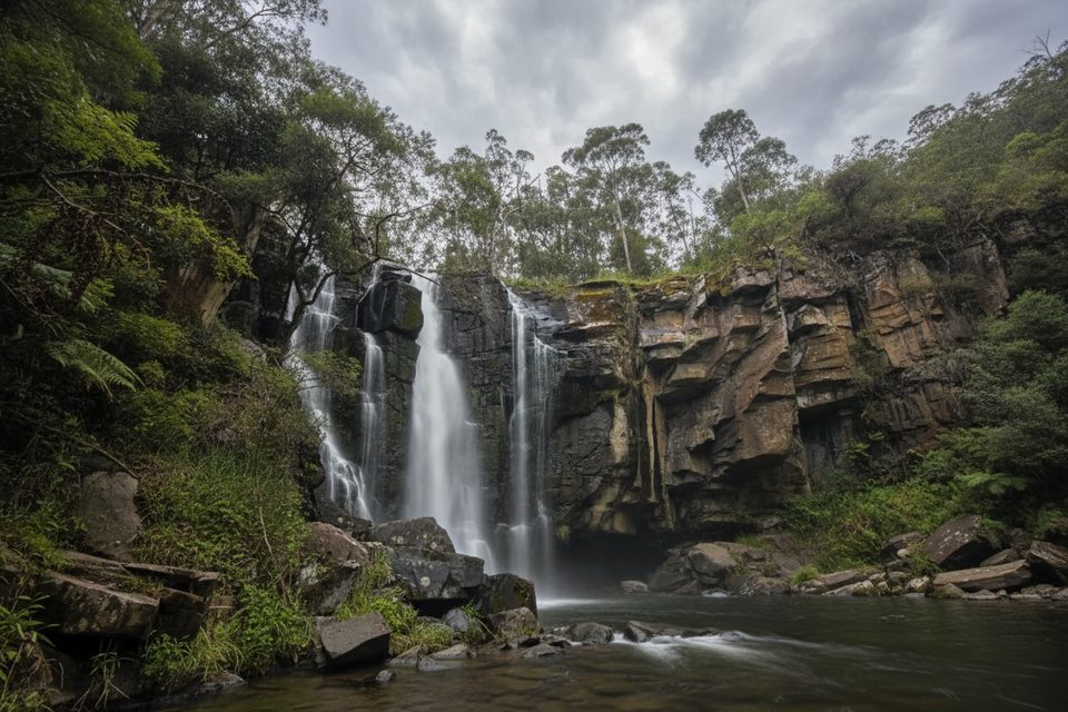
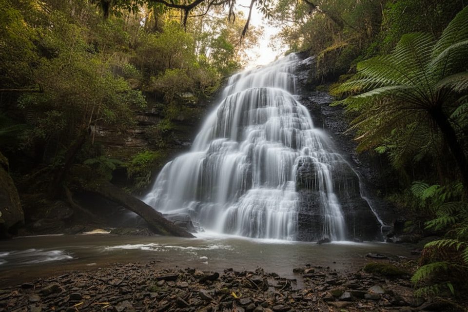
A lush, moderate rainforest walk near Lorne that threads through a narrow rock corridor called The Canyon and links two waterfalls: Phantom Falls (~15 m) and Henderson Falls. Expect formed earth tracks with occasional rocky footing, short scrambles, and sections that get muddy after rain. Total distance is about 5.9 miles (9.5 km) as a loop, or roughly 5.4 miles (8.7 km) out‑and‑back from Sheoak with a short spur to Henderson.
Why go
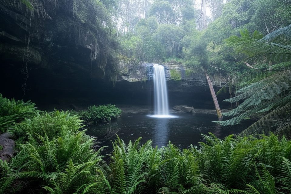
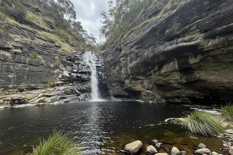
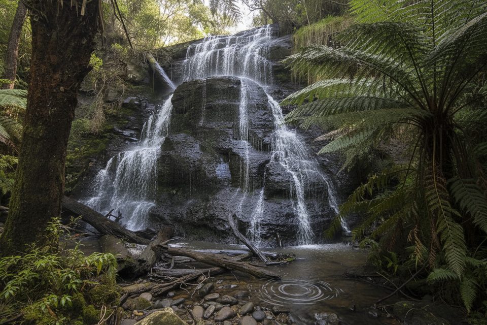
The Canyon is the x‑factor—walls close in, the light drops, and the trail briefly feels adventurous without being technical. After rain, both waterfalls put on a show and the forest of towering eucalypts and tree ferns feels extra alive. In drier spells Phantom can live up to its name and thin to a trickle, but the walk remains scenic thanks to ferns, river glimpses, and birdlife.
Route options
- Allenvale Mill Car Park loop (recommended): ~9.5 km/5.9 mi, ~3 hours, Grade 3. A satisfying circuit that usually visits Won Wondah Falls first, then Henderson Falls, The Canyon, and Phantom Falls before closing the loop.
- Sheoak Picnic Area out‑and‑back: ~8.7 km/5.4 mi to Phantom via The Canyon, typically 2.5–3 hours; add the 900 m return spur to Henderson Falls to round it out. Both routes include some rocky/steep sections—good footwear matters.
Tips and tricks
- Go after recent rain for the best waterfall flow, but budget extra time for slippery rock and mud. Trekking poles help on the steeper bits.
- Navigation is straightforward with junction signs, but reception can be patchy—download an offline map/GPX.
- Facilities: toilets at Sheoak Picnic Area and at the free campground by Allenvale Mill Car Park.
Heads‑ups
Short, rocky scrambles appear in The Canyon and around the falls; take care if the track is wet. Car parks are small and can fill—arrive early or go midweek. After heavy weather, small bridges or short sections are occasionally closed; check current track and safety notices with the land manager before you go.
Best time to hike
Year‑round is fine, but waterfalls peak after rain and summer afternoons can feel warm in the gullies. Mornings offer softer light in The Canyon and fewer people, while the forest canopy can make it feel darker closer to dusk.
Elevation
5.9 mi · 3 hrWhere it starts
-38.5545, 143.9432Near Phantom Falls and Henderson Falls via The Canyon
All places →All trails →
0 mi awayLower Kalimna Falls TrackFerny stroll to a walk-behind waterfall with a cave-like alcoveModerate · 5.1 mi · 2.3 hr
0 mi awaySheoak Falls via Castle RockWaterfall and lookout loop with ocean views and a swallow-filled caveModerate · 6 mi · 3.5 hr
0 mi awayHenderson Falls TrackShady fern gully stroll to a graceful 8–10 m waterfall.Easy · 2.2 mi · 1 hr
0 mi awayWon Wondah Falls TrackQuick rainforest stroll to a small cascade with an easy add-on.Easy · 1.2 mi · 1 hr
0.6 mi awayHenderson FallsShady fern‑gully stroll to a graceful 8–10 m cascadeTrailhead · Parking
0.8 mi awayPhantom FallsShaded Otways waterfall via a short, rewarding forest walkTrailhead · Parking
0.9 mi awayAllenvale CampgroundLeafy walk-in bush camp by the St George River near LorneCampground · Restroom
1.2 mi awaySwallow CaveHoneycombed cave with nesting swallows on the Sheoak Falls walkTrailhead · Parking