Parking
Start at Colac Railway Station on Gellibrand Street; the station has a medium-large parking area. The route finishes at Ferguson Recreation Reserve, so arrange a pickup or transport back to Colac.
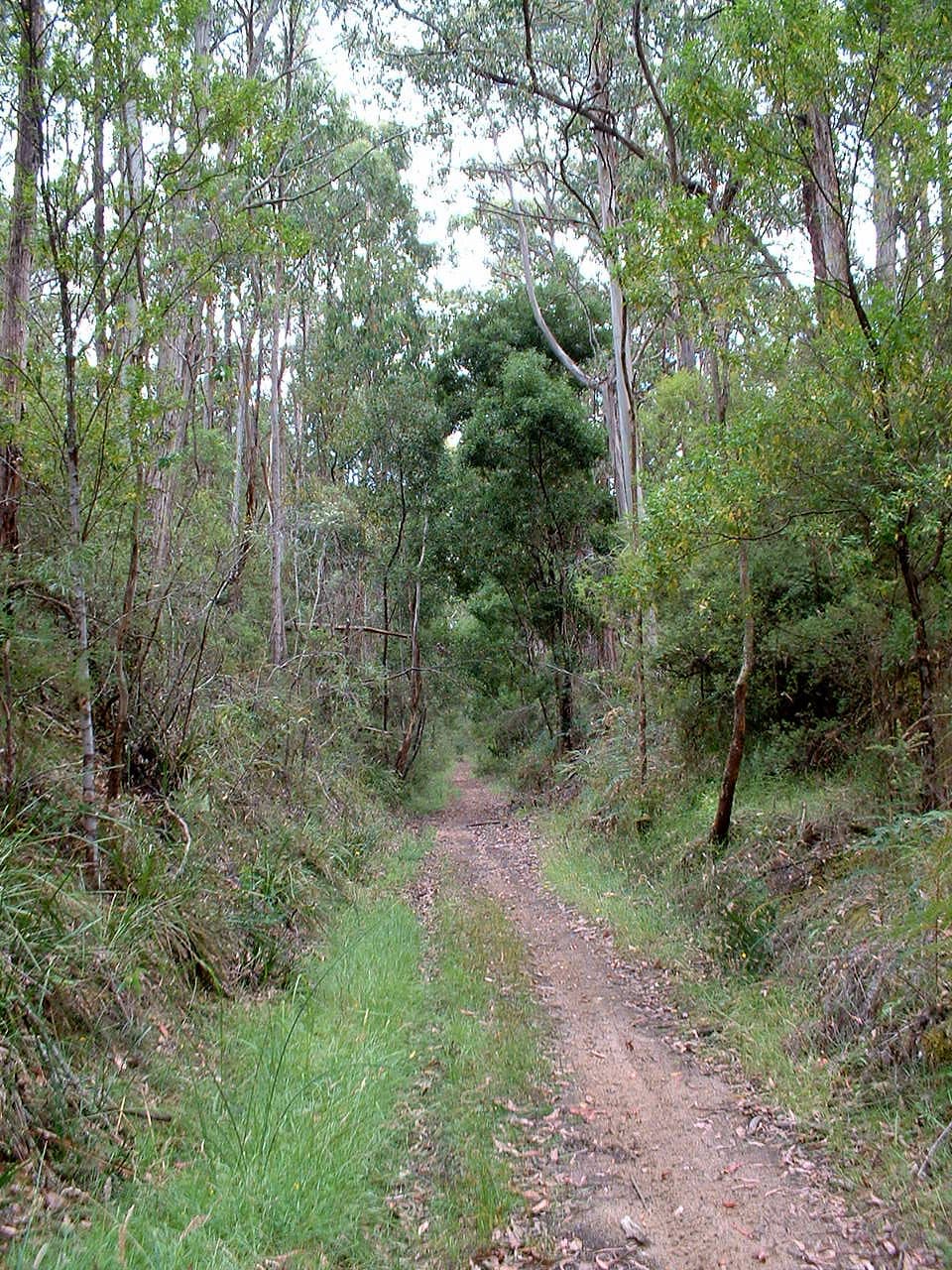
Great Ocean Road, VIC
A 49.2 km rail trail through Otway forest, farmland and small towns.
Overview
Map & elevation
Plan your hike

The highest, rockiest slopes around here are a summer buffet for grizzly bears.
Great Ocean Road Tour Guide
Parkwolf is a GPS audio tour guide for Great Ocean Road. As you drive, it chimes in with what’s ahead: hidden gems, upcoming stops, history, geology, and wildlife, right through your car’s speakers.
See the Great Ocean Road audio tour“Fantastic app with many points of information… It’s great to just turn on while you’re driving and it gives you an audio tour of the national Park. We love it!!!!”


Trail guide
The Old Beechy Rail Trail is a 49.2 km one-way walking and cycling route from Colac Railway Station to Ferguson Recreation Reserve. It follows a former narrow-gauge railway through town streets, farmland and Otway forest, with the first section on public roads. Allow about 13 hours of walking before breaks; most walkers will prefer to divide it into stages or spread it over more than one day. It is point-to-point, so arrange a pickup or other transport at Ferguson.
The first 10.6 km to Barongarook is on roads rather than the rail easement. It threads through Colac streets and country roads, with sealed stretches, loose gravel and some steep grades. This is the least trail-like part of the trip and the section with the most road traffic. At Barongarook the route turns onto the gravel trail corridor.
From Barongarook, the route runs 6.3 km to Watson and Facey’s, then 3.5 km to Kawarren. The first stage is gentler; the following stretch has steeper ups and downs on gravel. Another 6 km brings you to Gellibrand, crossing the river on the trail bridge. Former railway stops and picnic areas break up the longer stages, but services are concentrated in the towns.
South of Gellibrand the trail climbs through a changing mix of farmland, forest and ferny gullies toward Beech Forest. The 6.3 km Gellibrand–Banool, 7.6 km Banool–Dinmont and 4.7 km Dinmont–Beech Forest stages build into a long, demanding approach, with gravel footing and steeper grades near Beech Forest. Old embankments, culverts and bridge remains show where the railway crossed the gullies. The final 4.2 km continues from Beech Forest to Ferguson Recreation Reserve.
The narrow-gauge line opened from Colac to Beech Forest in 1902 and was extended to Crowes in 1911; railway service ended in 1962. The trail follows much of that former alignment, with station sites and railway remnants along the way. Look for the Beech Forest station marker and the old rail infrastructure near Dinmont; the route’s appeal is as much the journey through changing country as any single viewpoint.
Colac has the broadest services at the start. Gellibrand has a hotel, general store and café, toilets and a bike repair station; Beech Forest has an information stop, toilets and a barbecue. Facilities are not at every former station, so plan food and water around the towns. Dogs are allowed on leash. Timber chicanes can restrict bicycles with trailers or three wheels; check your setup before committing to the full route.
Wildlife
 900 sightingsKoalaMost seen around 5 PMSighting map
 358 sightingsKangarooMost seen around 6 PMSighting map
 49 sightingsLittle PenguinMost seen around 8 PMSighting map
 155 sightingsEchidnaMost seen around 6 PMSighting map
 33 sightingsFur SealMost seen around 6 PMSighting map
 59 sightingsRed-necked WallabyMost seen around 6 AMSighting map
Sighting maps show where each species has been reported across Great Ocean Road. Wildlife moves, so no sighting is guaranteed.
Keep exploring
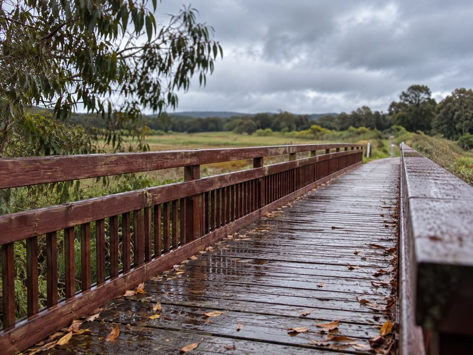 EasyTiger Rail Trail10 km · 2.5 hr · 22.2 km awayA timber bridge and old rail line carry you into the forest.
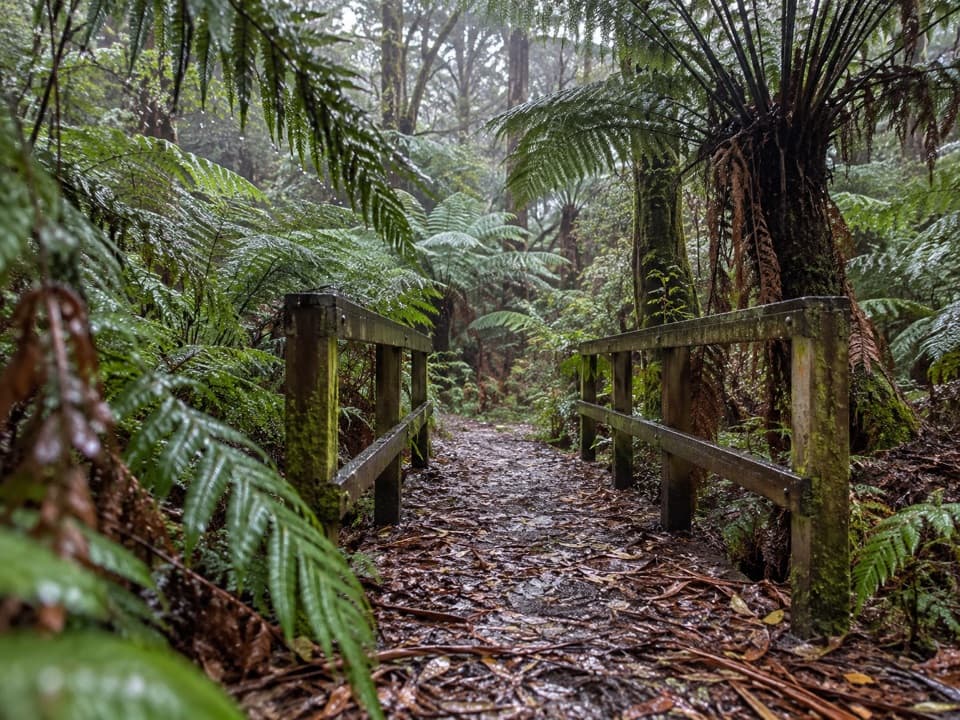 EasyFern Gully Walk1 km · 30 min · 23.7 km awayA short forest walk to tree ferns, creek crossings and boardwalks.
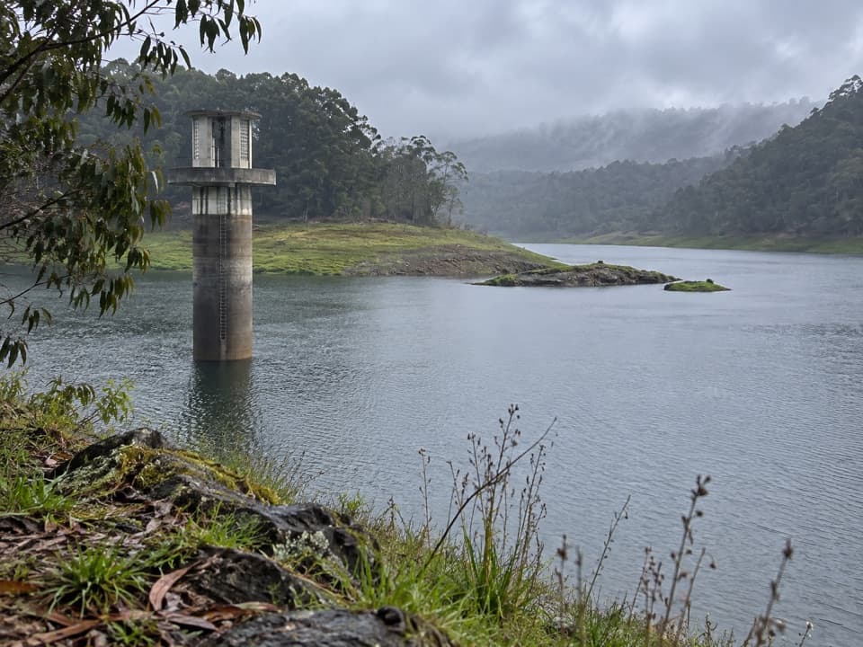 EasyWest Barwon Reservoir Walk0.4 km · 20 min · 23.9 km awayA quick return to the dam wall for broad reservoir views.
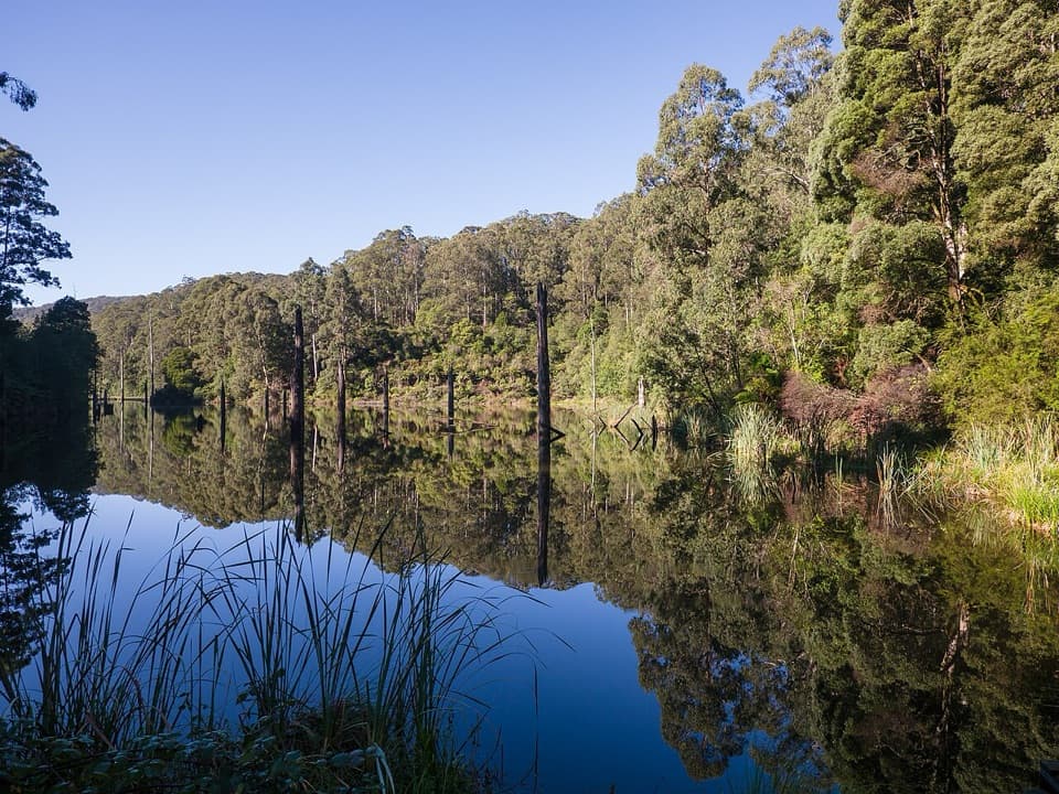 ModerateWest Barwon Dam to Lake Elizabeth Circuit18.4 km · 6 hr · 24 km awayA full-day circuit to a landslide lake and tree-fern shore
Parkwolf’s Great Ocean Road ranking

The audio tour guide for the drive, plus offline maps, trails, and wildlife heatmaps for when the signal drops.





