Parking
Start opposite the Terminus Hotel on Henry Street. On-street parking and town conveniences are on Station Street, about 500 m southeast; walk from there to the trailhead.
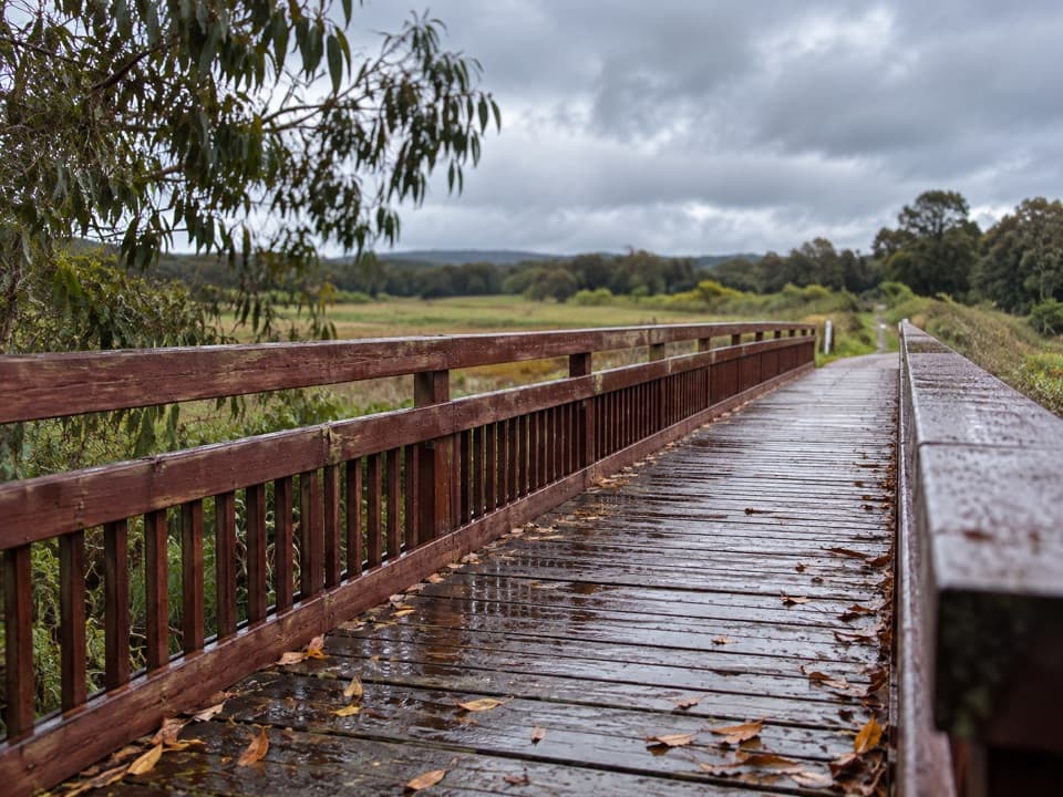
Great Ocean Road, VIC
A timber bridge and old rail line carry you into the forest.
Overview
Map & elevation
Plan your hike

The highest, rockiest slopes around here are a summer buffet for grizzly bears.
Great Ocean Road Tour Guide
Parkwolf is a GPS audio tour guide for Great Ocean Road. As you drive, it chimes in with what’s ahead: hidden gems, upcoming stops, history, geology, and wildlife, right through your car’s speakers.
See the Great Ocean Road audio tour“Fantastic app with many points of information… It’s great to just turn on while you’re driving and it gives you an audio tour of the national Park. We love it!!!!”


Trail guide
Tiger Rail Trail follows the former railway from Forrest north to Birregurra–Forrest Road. The complete developed section is an out-and-back: plan for about 10 km return and roughly 2.5 hours at an easy pace. The full route is listed as 5 km one way; another walking map gives a shorter 6 km return without identifying the same northern endpoint. If you are walking all the way to the road, budget for the longer distance.
Start on Henry Street opposite the Terminus Hotel and follow the old rail alignment north. The first stretch skirts town and farmland. A low concrete bypass takes you close to the remains of a trestle on the Barwon floodplain, then the trail crosses the river on a rebuilt railway bridge with a timber deck and the original piers. The bridge is the natural pause: its long rails make a good frame for the river flats beyond.
Past Yaugher Road and the old Yaugher Station area, the trail spends about 3 km in Yaugher State Forest. A picnic table sits near the northern end, where the path leaves the rail corridor and climbs to Birregurra–Forrest Road. A Tiger Loop mountain-bike route joins part of this stretch, but it is a separate ride; the rail trail itself ends at the road. Toilets are at the Yaugher mountain-bike trailhead off Boundary Road.
The trail takes its name from a converted Dodge sedan that ran on the railway as a passenger car from 1937 to 1952. It had an unusual internal turntable and could carry up to ten people. The branch line opened to Forrest in 1891 and closed in 1957. Look for the 101-mile post about 3.5 km from Forrest, a small marker of how far this line reached from its junction.
Wildlife
 900 sightingsKoalaMost seen around 5 PMSighting map
 358 sightingsKangarooMost seen around 6 PMSighting map
 49 sightingsLittle PenguinMost seen around 8 PMSighting map
 155 sightingsEchidnaMost seen around 6 PMSighting map
 33 sightingsFur SealMost seen around 6 PMSighting map
 59 sightingsRed-necked WallabyMost seen around 6 AMSighting map
Sighting maps show where each species has been reported across Great Ocean Road. Wildlife moves, so no sighting is guaranteed.
Keep exploring
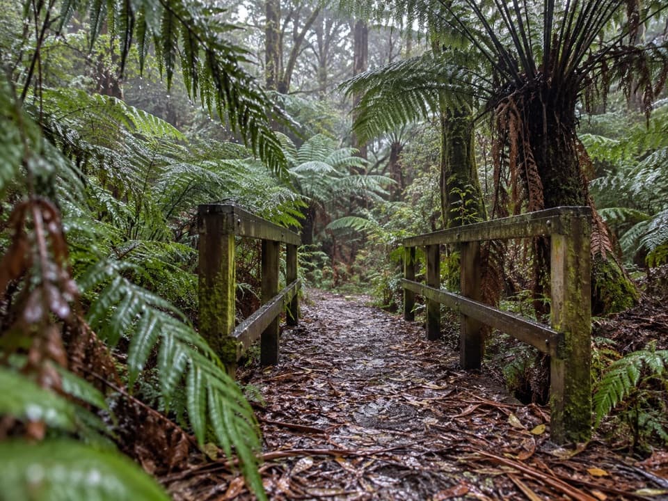 EasyFern Gully Walk1 km · 30 min · 1.8 km awayA short forest walk to tree ferns, creek crossings and boardwalks.
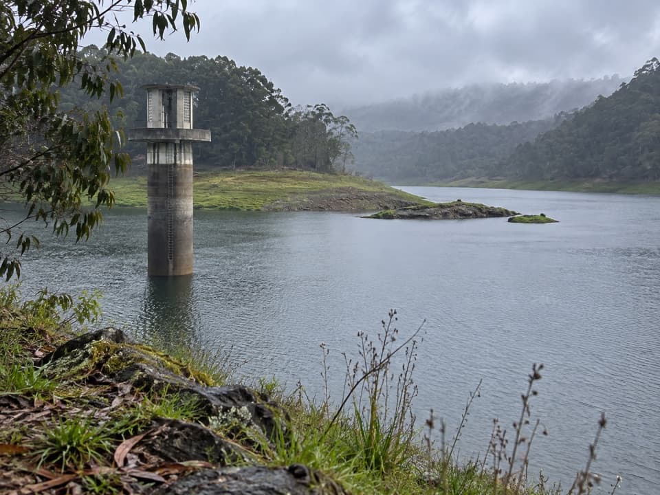 EasyWest Barwon Reservoir Walk0.4 km · 20 min · 1.8 km awayA quick return to the dam wall for broad reservoir views.
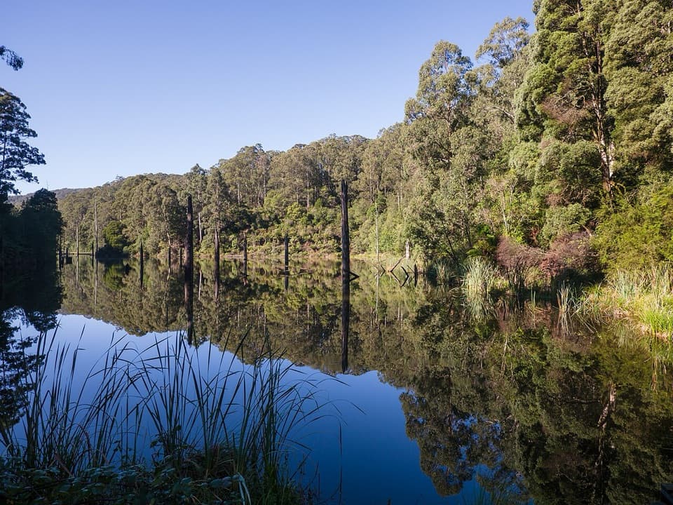 ModerateWest Barwon Dam to Lake Elizabeth Circuit18.4 km · 6 hr · 1.9 km awayA full-day circuit to a landslide lake and tree-fern shore
 ModerateLake Elizabeth Loop Walk4.5 km · 1.8 hr · 4.7 km awayA ferny river walk opens onto a lake of drowned trees.
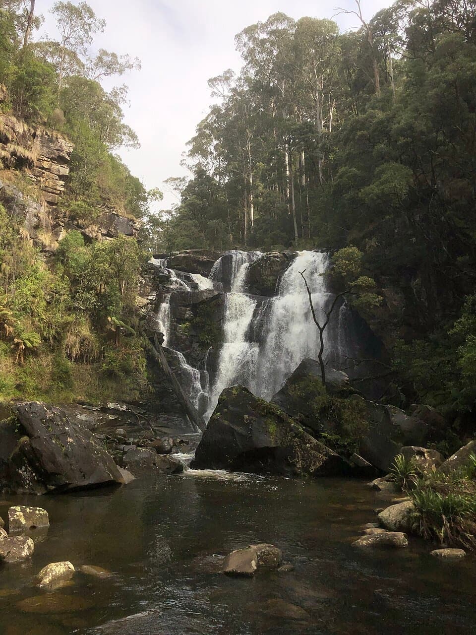 EasyStevensons Falls Walk1 km · 20 min · 8 km awayA 1 km easy walk through redwoods to a tiered Otways waterfall
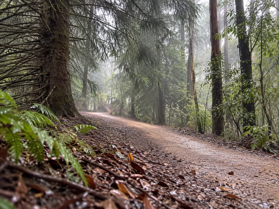 EasyBlue Spruce Walk0.3 km · 9 min · 8 km awayA short gravel leg beside the Gellibrand River
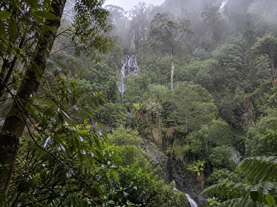 ModerateSabine Falls Walk4 km · 2.3 hr · 13.4 km awayA steep rainforest descent to a waterfall across a fern-filled valley.
 ModerateErskine Falls Walk0.7 km · 30 min · 17.2 km awayA short stair walk to a 30-metre waterfall in a ferny gully.
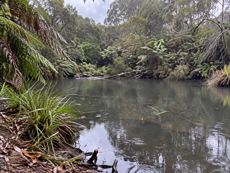 Campground · 4.5 km awayLake Elizabeth CampgroundA forest camp, with the young lake a 1 km walk away.Sight · 5.6 km awayLake ElizabethA drowned forest lake, with a chance to spot platypus.
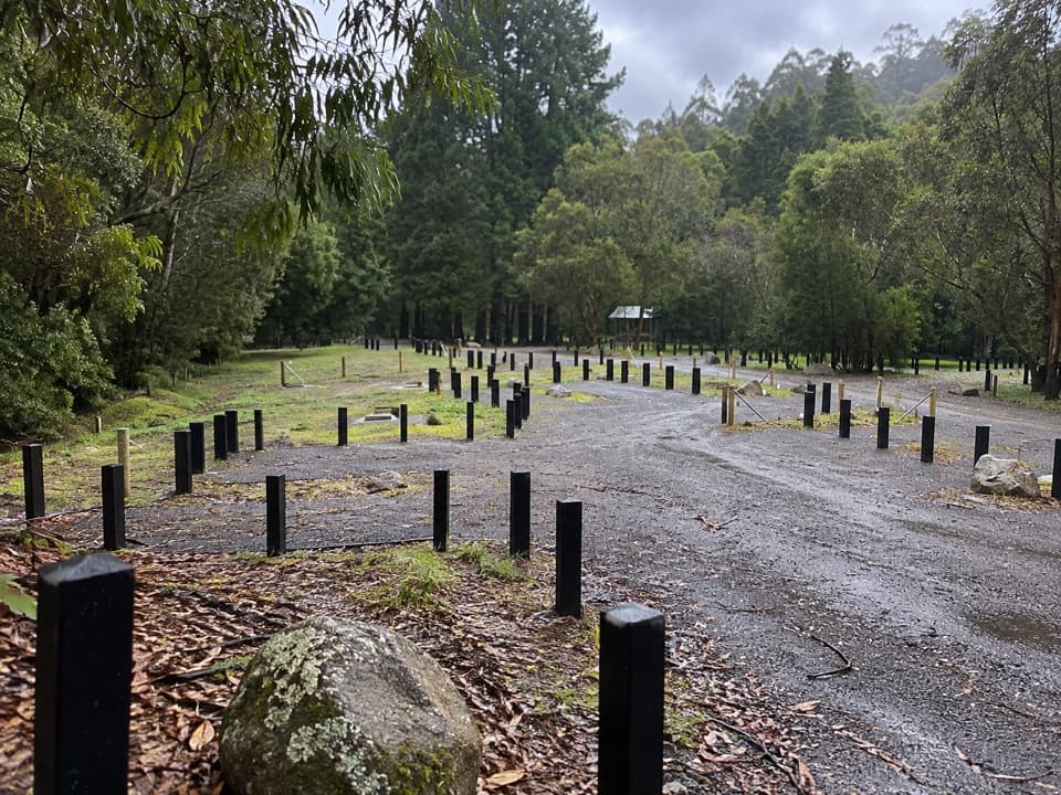 Campground · 7.5 km awayStevensons Falls CampgroundCamp beneath redwoods, with the river and falls within easy reach.Sight · 8.4 km awayStevensons FallsWalk through 1980s redwoods to a waterfall on the Gellibrand.
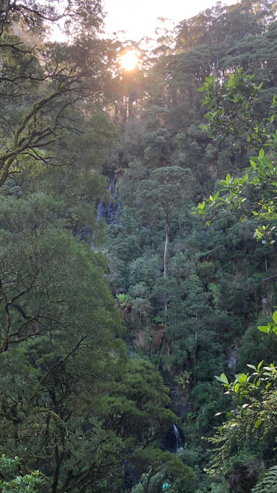 Sight · 13.4 km awaySabine FallsA steep rainforest walk to a distant, tiered waterfall.
Parkwolf’s Great Ocean Road ranking

The audio tour guide for the drive, plus offline maps, trails, and wildlife heatmaps for when the signal drops.




