Parking
Start at the Whites Beach East access in Torquay and finish at Fairhaven. Arrange a pickup or other return transfer before you begin; the specific parking locations and capacity at both ends were not confirmed.

#6 of 109 trails in Great Ocean Road
Great Ocean Road, VIC
A 41 km coastal point-to-point from Torquay to Fairhaven.
Overview
Map & elevation
Plan your hike

The highest, rockiest slopes around here are a summer buffet for grizzly bears.
Great Ocean Road Tour Guide
Parkwolf is a GPS audio tour guide for Great Ocean Road. As you drive, it chimes in with what’s ahead: hidden gems, upcoming stops, history, geology, and wildlife, right through your car’s speakers.
See the Great Ocean Road audio tourRecorded for this area
Australian National Surfing Museum“You're coming up on the Australian National Surfing Museum in Torquay's Surf City precinct.”
Plays on the road 3 km from the trailhead in the Parkwolf Great Ocean Road Tour Guide.
More stories near here in the app
“Fantastic app with many points of information… It’s great to just turn on while you’re driving and it gives you an audio tour of the national Park. We love it!!!!”


Trail guide
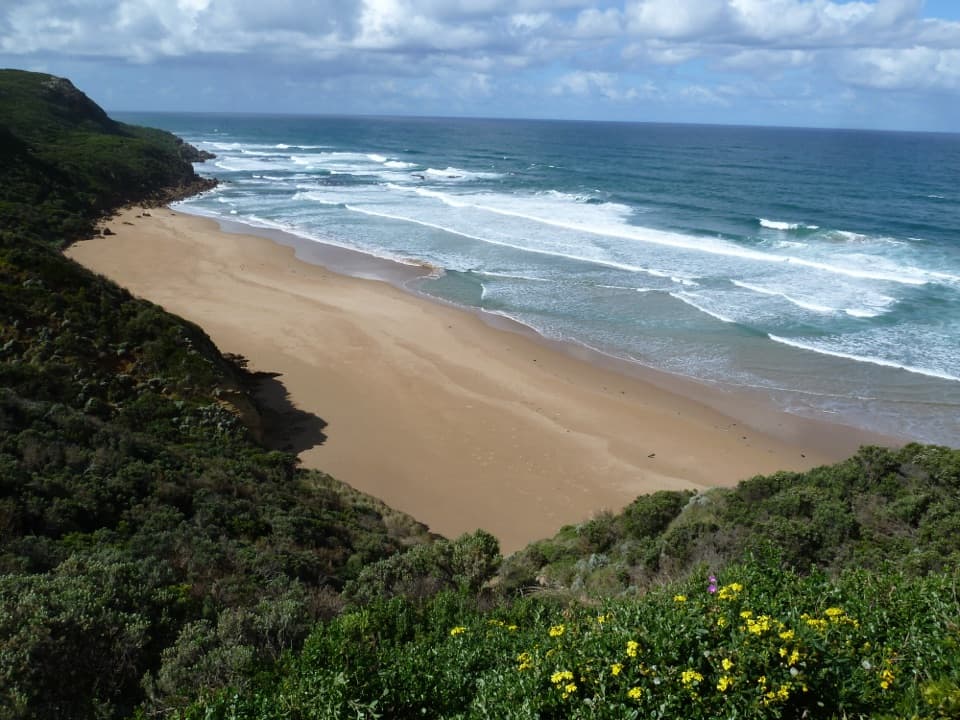
The Surf Coast Walk is a long, one-way coastal route from Whites Beach East in Torquay to Fairhaven. This mapped line measures 41.46 km (25.8 miles), close to the current overall figure of about 41 km; the walk is usually estimated at 10 hours 17 minutes, with about 718 m of climbing and an overall Grade 4 rating. It is a point-to-point day, not a loop, so arrange a pickup or other return transfer before setting out. The official start moved from Point Impossible to Whites Beach East in July 2026; older 44 km descriptions are for the former route. The Whites Beach end is part of a Wadawurrung cultural landscape with a long history of seasonal camps. The displayed section distances add to more than the overall estimate, so allow time for the full traverse rather than trying to total each stage.
The opening 2.6 km to Yellow Bluff is mostly flat on a formed path. Another 1.6 km follows a level concrete promenade to Point Danger, where the view opens over offshore reefs and the ships’ graveyard. The 3.3 km clifftop section to Bird Rock mixes gentle ground with steps and sand; Rocky Point is a worthwhile lookout, and Jan Juc shops make a town-side coffee stop. From Bird Rock, a well-formed 3.2 km track rolls toward Bells Beach with views over the surf breaks. The promenade is a useful, much shorter taste of the route, but its easy surface does not represent the rougher sections ahead.
Bells Beach to Point Addis is a long 8.2 km Grade 3 stretch. The route leaves the open cliffs for sheltered Ironbark Basin, then climbs and descends over short steep hills, steps and sandy tread. Grass trees and rare orchids grow among the coastal scrub; echidnas and reptiles are also recorded here, though wildlife sightings are never assured. At Point Addis, three lookouts face the cliffs and coves below. The nearby Koorie Cultural Walk is a separate short experience beside this route, not part of the mapped Surf Coast Walk.
The next 7.3 km crosses ochre cliffs, heath and low wind-shaped forest, with rugged steps and a beach section. Kangaroos and wallabies use this open coastal habitat. In Anglesea, the route includes a flat 1.6 km riverside stage near cafes, BBQs and playgrounds, then climbs to a bluff and descends to Point Roadknight over about 3.1 km of formed track. Treat that second section as a separate town-to-beach leg; the online stage headings repeat the same name for both.
From Point Roadknight, the 4.5 km beach walk to Urquhart Bluff is best timed for low tide; the firm walking width changes with the water, and beach-nesting birds share the shore. Urquhart Bluff to Sunnymead is the walk’s roughest listed section: about 3 km of soft sand and rugged steps through coastal bush, past remnants of the original Great Ocean Road and into a secluded cove. Beyond Sunnymead, a narrow but well-made track with gentle hills leads 2.8 km to Aireys Lighthouse. Bristlebirds and small marsupials are noted in this area. The final 2.1 km reaches Fairhaven past Split Point Lighthouse and signed coastal viewpoints.
The path changes from accessible promenade to clifftop track, scrub paths and tide-sensitive beach, so the full route is not an accessible walk even though one Torquay section is flat and wheelchair-friendly. Jan Juc and Anglesea are the main town stops described along the way; confirm food, water and toilet plans before leaving them, since facilities along the isolated stretches were not verified. The route is advertised as dog-friendly with dogs on leash. Keep to the marked walk and check signs before taking a side track, because dogs are prohibited in many nearby Great Otway National Park areas. Tide timing matters most at Point Roadknight; allow extra time for the rough Urquhart Bluff–Sunnymead steps and sand.
Wildlife
 900 sightingsKoalaMost seen around 5 PMSighting map
 358 sightingsKangarooMost seen around 6 PMSighting map
 49 sightingsLittle PenguinMost seen around 8 PMSighting map
 155 sightingsEchidnaMost seen around 6 PMSighting map
 33 sightingsFur SealMost seen around 6 PMSighting map
 59 sightingsRed-necked WallabyMost seen around 6 AMSighting map
Sighting maps show where each species has been reported across Great Ocean Road. Wildlife moves, so no sighting is guaranteed.
Keep exploring
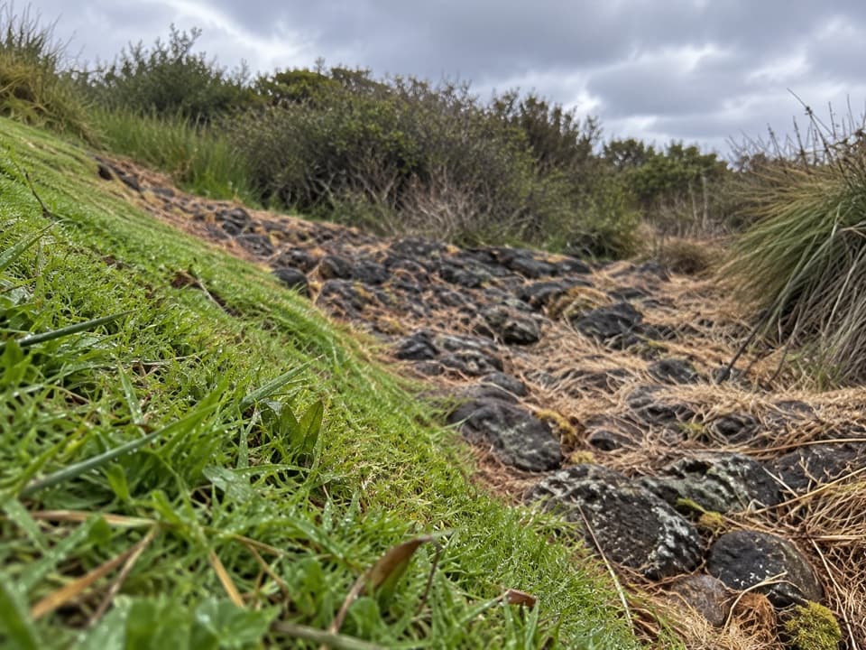
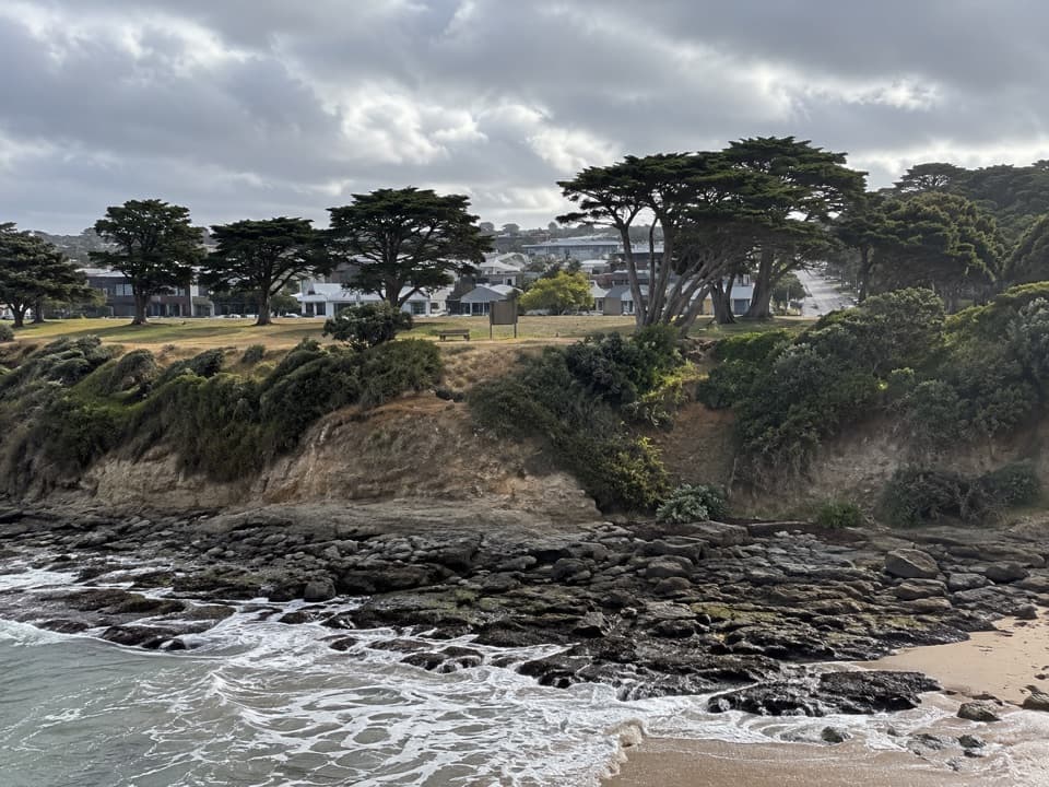 EasyWadawurrung Country Walk2.6 km · 45 min · 0.2 km awayA short, easy coastal stage through dunes to Yellow Bluff.
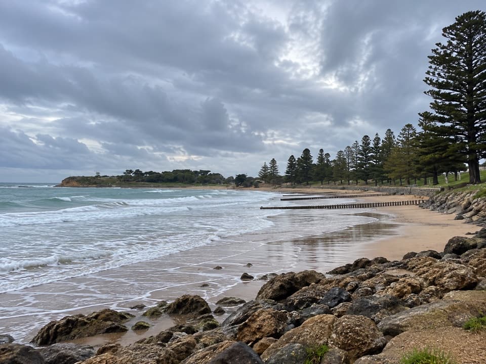
 EasyDeep Creek Walk1.2 km · 24 min · 2.2 km awayA short creekside walk through Torquay’s remnant woodland.
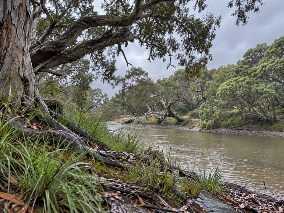
 EasyTorquay Promenade Walk1.5 km · 20 min · 2.4 km awayA flat foreshore stroll from Yellow Bluff to Point Danger.
 EasySurf Coasting Walk: Point Danger to Bird Rock3.3 km · 54 min · 3.2 km awayA short clifftop link from surf beaches to two sweeping coastal lookouts.
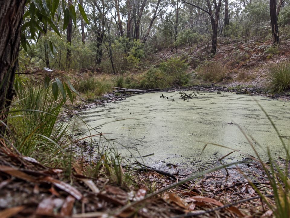
 EasySpring Creek Nature Reserve Walk0.9 km · 24 min · 3.8 km awayA short gravel walk beneath moonahs beside Spring Creek.
 EasyThe Bells Track3.2 km · 48 min · 5.5 km awayA 3.2 km clifftop walk from Bird Rock to Bells Beach.
 ModerateIronbark Basin Walk, Bells Beach to Point Addis8.2 km · 2.5 hr · 8 km awaySand, steps, sheltered forest, then three Point Addis lookouts.
 EasyIronbark Basin Nature Trail1.5 km · 1 hr · 11.2 km awayA short bushwalk to a valley dam and old grasstrees
 Beach · 2.7 km awayTorquay Front BeachA town beach with sheltered Cosy Corner at Point Danger.
 Visitor center · 3 km awayTorquay Visitor Information CentrePlan your coastal drive with maps and local Surf Coast advice.
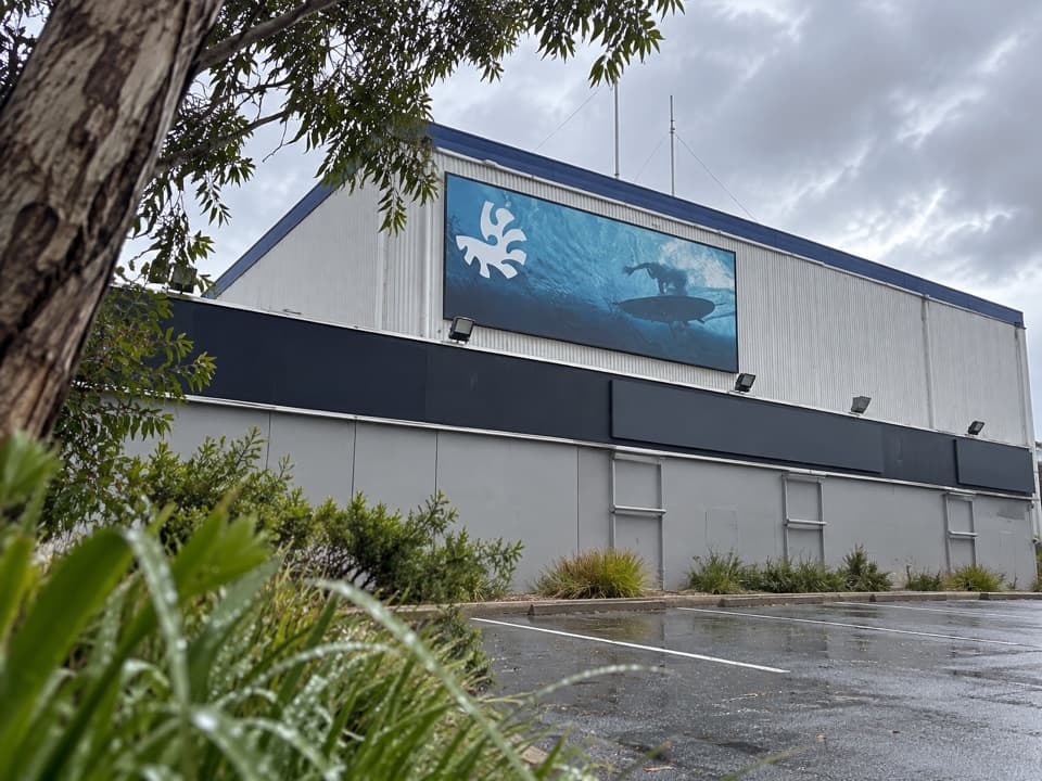 Sight · 3.1 km awayAustralian National Surfing MuseumSurfboard history beneath a breaking wave, with an old Kombi.
 Campground · 3.6 km awayTorquay Foreshore Caravan ParkSleep beside the surf, with Torquay's shops a short walk away.
 Beach · 4 km awayTorquay Surf BeachBass Strait surf and a big chapter in Australian surf history.
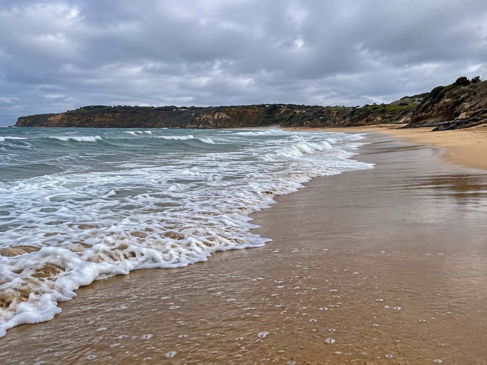 Beach · 4.8 km awayJan Juc BeachA 1.2 km surf beach with a clifftop walk toward Rocky Point.
 Sight · 5.5 km awayBird Rock LookoutWide views over Jan Juc Beach and the Surf Coast
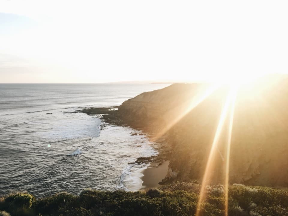 Beach · 8 km awayBells BeachA legendary surf break best watched from the clifftop.
Parkwolf’s Great Ocean Road ranking

The audio tour guide for the drive, plus offline maps, trails, and wildlife heatmaps for when the signal drops.