Parking
Start at the West Barwon Dam picnic-area car park, about 2 km south of Forrest. The available map pin marks the reservoir area rather than a verified parking bay; capacity, fees, toilets and drinking water were not confirmed.
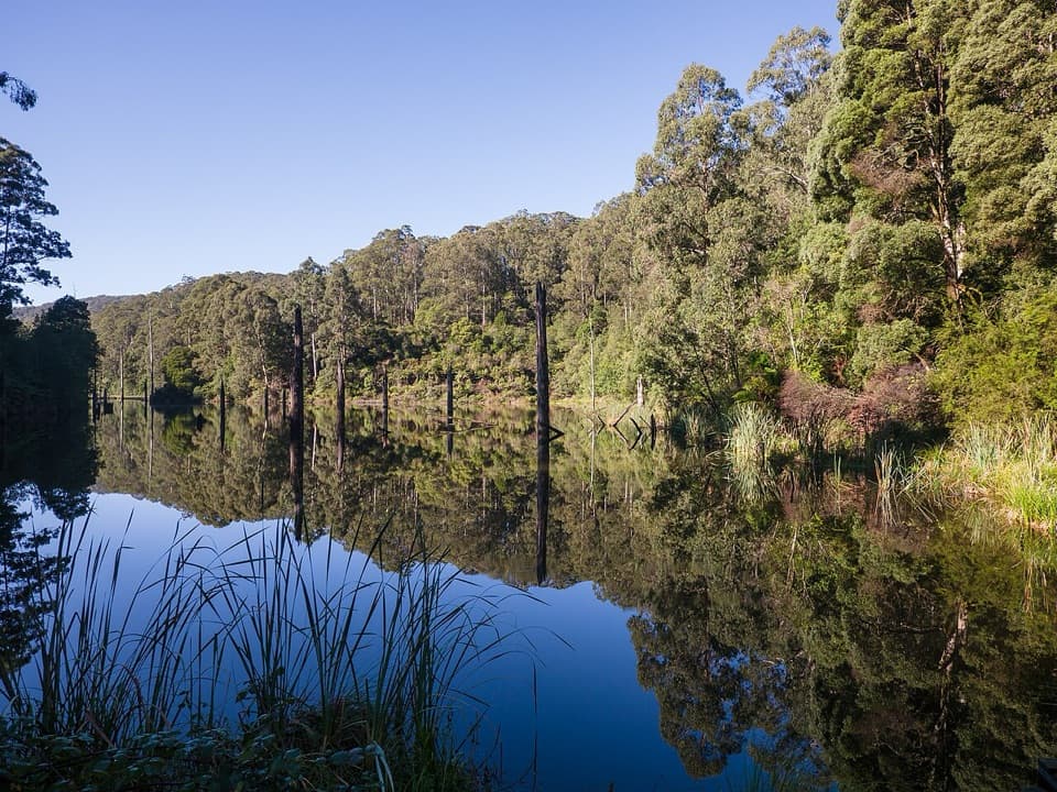
Great Ocean Road, VIC
A full-day circuit to a landslide lake and tree-fern shore
Overview
Map & elevation
Plan your hike

The highest, rockiest slopes around here are a summer buffet for grizzly bears.
Great Ocean Road Tour Guide
Parkwolf is a GPS audio tour guide for Great Ocean Road. As you drive, it chimes in with what’s ahead: hidden gems, upcoming stops, history, geology, and wildlife, right through your car’s speakers.
See the Great Ocean Road audio tour“Fantastic app with many points of information… It’s great to just turn on while you’re driving and it gives you an audio tour of the national Park. We love it!!!!”


Trail guide
This is an 18.4 km loop from West Barwon Dam to Lake Elizabeth and back, usually about six hours. It combines the signed Route 2 and Route 3 forest tracks, a circuit of the lake shore and a return by the Barwon River. The published grade is 3: moderate overall, but the distance, repeated climbs and two river fords make it a substantial day walk. This is the dam-start circuit, not the shorter lake walk from Lake Elizabeth car park.
From the dam picnic-area car park, cross the dam wall and descend to the river-side track. After about 400 m, cross a concrete ford; 150 m later turn right onto Route 2. Follow it for about 3.5 km to Kaanglang Road, then continue to the Route 3 junction. Route 3 descends steadily through tall eucalypts to Lake Elizabeth car park. On the way back, climb from the lake car park on Route 2 and then Route 3, cross Lake Elizabeth Road and Kaanglang Road, and rejoin the outward track. Reverse it for 1.3 km, then turn onto Route 3 north and downhill for 1.5 km to the Barwon River. Follow the river south, cross the ford and climb the fairly steep road back to the dam. Keep an eye on the Route 2 and Route 3 signs at the junctions.
From Lake Elizabeth car park, the signed approach follows the East Barwon upstream for about a kilometre. Turn right at the outlet junction for the lake circuit: it reaches a boardwalk at the lake head and follows the northern shore through tree ferns before returning to the same junction. A landslide dammed the East Barwon River in 1952, creating the quiet lake and its standing drowned trunks. Platypus live here, but sightings are never assured; dawn or dusk offers a better chance.
Start at the West Barwon Dam picnic-area car park, about 2 km south of Forrest. The available map pin marks the reservoir area rather than a verified parking bay; parking capacity, fees, toilets and drinking water were not confirmed. Carry enough water for the full walk. Ordinary dogs are not allowed on the complete route: they are permitted on lead only in the Lake Elizabeth camping and day-visitor areas and adjoining walks. Assistance dogs follow Parks Victoria entry requirements.
Wildlife
 900 sightingsKoalaMost seen around 5 PMSighting map
 358 sightingsKangarooMost seen around 6 PMSighting map
 49 sightingsLittle PenguinMost seen around 8 PMSighting map
 155 sightingsEchidnaMost seen around 6 PMSighting map
 33 sightingsFur SealMost seen around 6 PMSighting map
 59 sightingsRed-necked WallabyMost seen around 6 AMSighting map
Sighting maps show where each species has been reported across Great Ocean Road. Wildlife moves, so no sighting is guaranteed.
Keep exploring
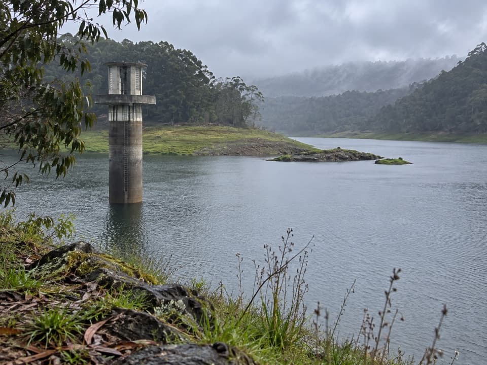 EasyWest Barwon Reservoir Walk0.4 km · 20 min · 0.1 km awayA quick return to the dam wall for broad reservoir views.
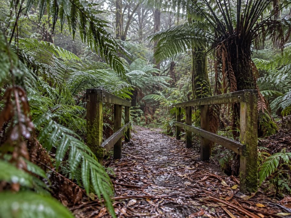 EasyFern Gully Walk1 km · 30 min · 0.5 km awayA short forest walk to tree ferns, creek crossings and boardwalks.
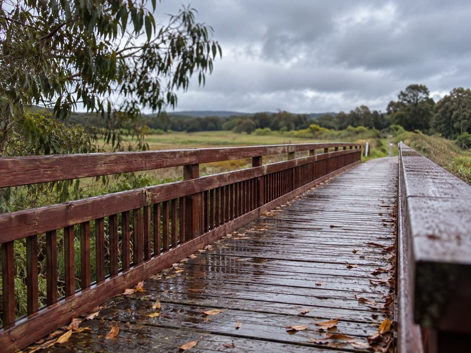 EasyTiger Rail Trail10 km · 2.5 hr · 1.9 km awayA timber bridge and old rail line carry you into the forest.
 ModerateLake Elizabeth Loop Walk4.5 km · 1.8 hr · 2.9 km awayA ferny river walk opens onto a lake of drowned trees.
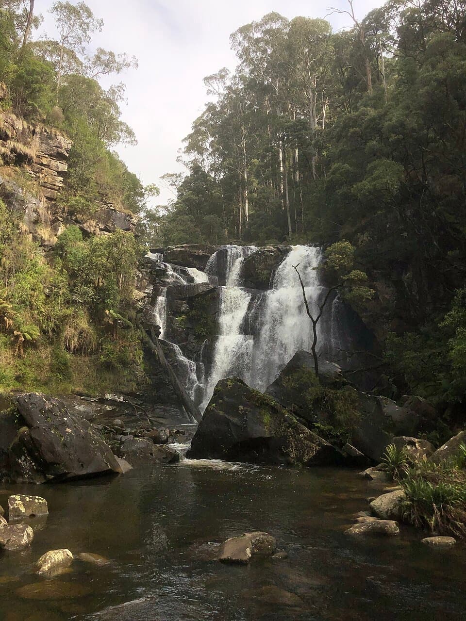 EasyStevensons Falls Walk1 km · 20 min · 7 km awayA 1 km easy walk through redwoods to a tiered Otways waterfall
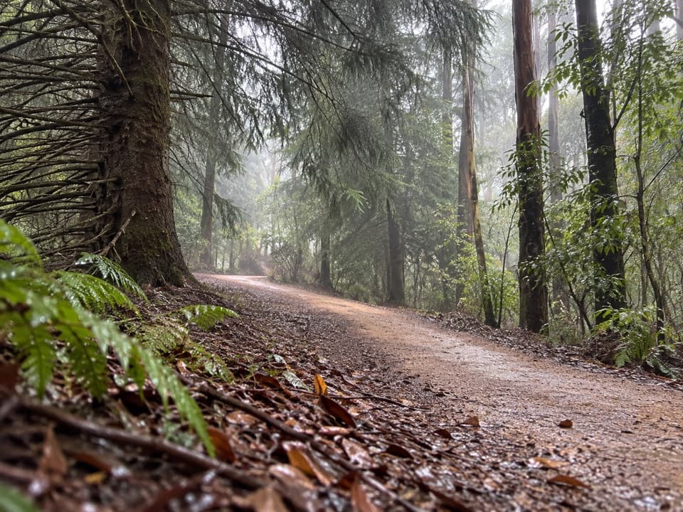 EasyBlue Spruce Walk0.3 km · 9 min · 7.1 km awayA short gravel leg beside the Gellibrand River
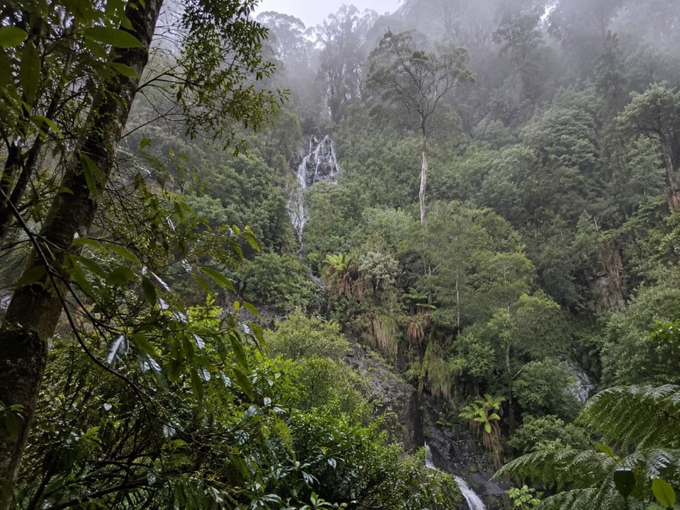 ModerateSabine Falls Walk4 km · 2.3 hr · 11.5 km awayA steep rainforest descent to a waterfall across a fern-filled valley.
 ModerateBeauchamp Falls Walk3 km · 1.3 hr · 16.6 km awayA ferny descent to a 20-metre falls, with a steep climb back.
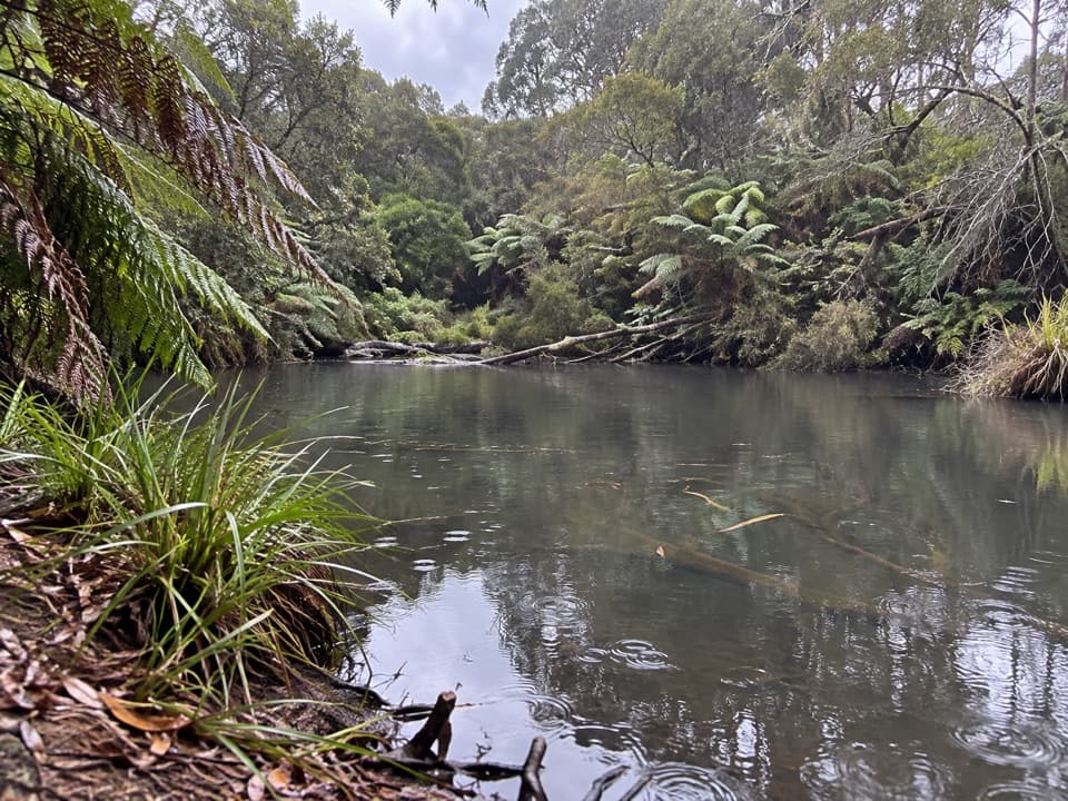 Campground · 2.8 km awayLake Elizabeth CampgroundA forest camp, with the young lake a 1 km walk away.Sight · 4 km awayLake ElizabethA drowned forest lake, with a chance to spot platypus.
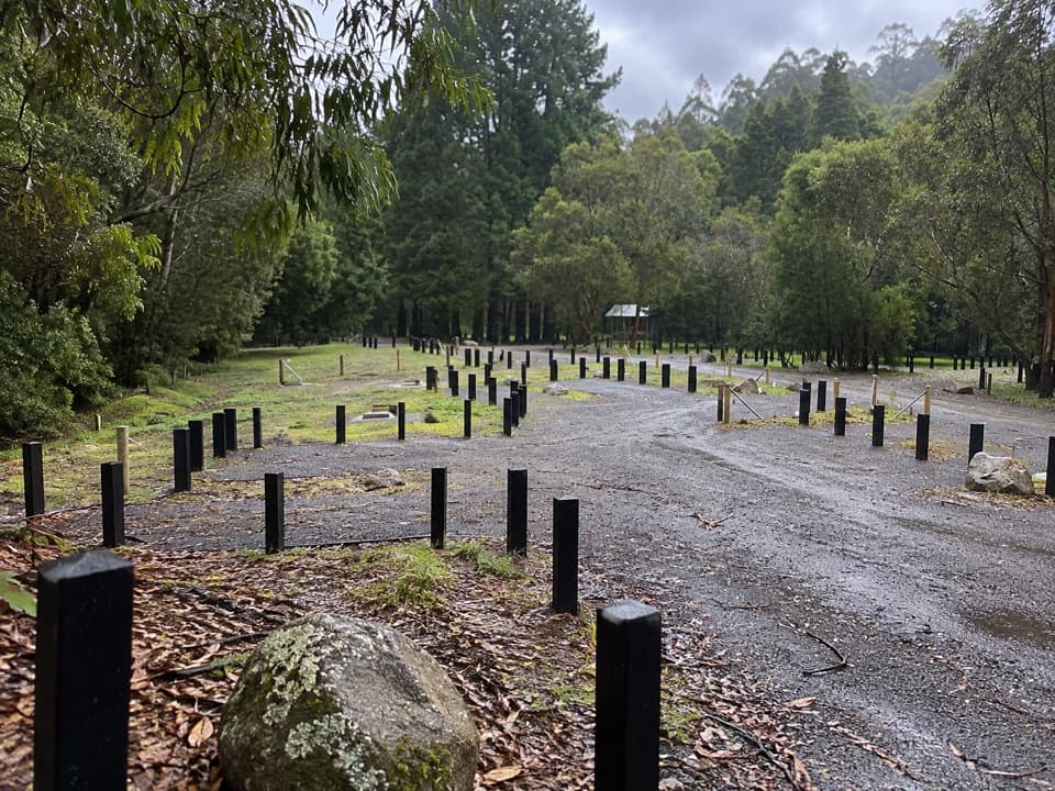 Campground · 6.7 km awayStevensons Falls CampgroundCamp beneath redwoods, with the river and falls within easy reach.Sight · 7.4 km awayStevensons FallsWalk through 1980s redwoods to a waterfall on the Gellibrand.
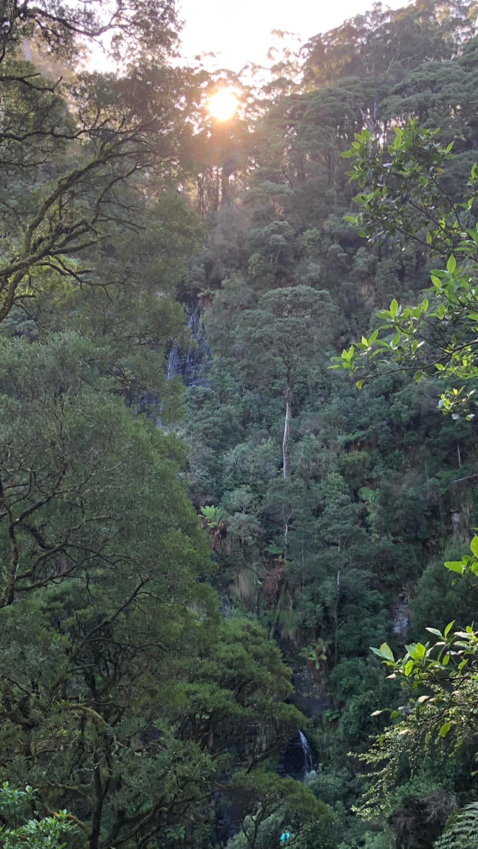 Sight · 11.5 km awaySabine FallsA steep rainforest walk to a distant, tiered waterfall.
Parkwolf’s Great Ocean Road ranking

The audio tour guide for the drive, plus offline maps, trails, and wildlife heatmaps for when the signal drops.





