Parking
Start at Hopetoun Falls Reserve car park. The approach is called Binns Road or Aire Valley Road, so set your destination to the falls reserve rather than Aire Valley Picnic Ground. The car park is small and can fill.

#4 of 109 trails in Great Ocean Road
Great Ocean Road, VIC
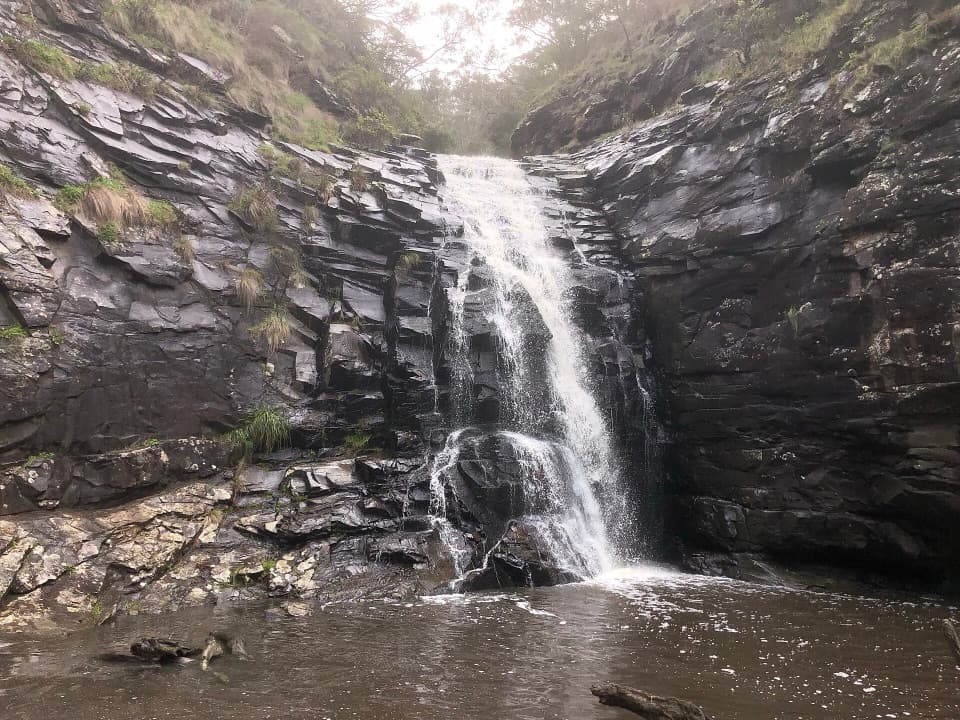
A short descent through tree ferns reaches a 30-metre waterfall.
Overview
Map & elevation
Plan your hike

The highest, rockiest slopes around here are a summer buffet for grizzly bears.
Great Ocean Road Tour Guide
Parkwolf is a GPS audio tour guide for Great Ocean Road. As you drive, it chimes in with what’s ahead: hidden gems, upcoming stops, history, geology, and wildlife, right through your car’s speakers.
See the Great Ocean Road audio tourRecorded for this trailhead
Hopetoun Falls“Hopetoun Falls is coming up, where the waterfall drops into the fern-lined Aire River. The upper lookout is only twenty metres from the car park, but the view through the trees is partial.”
Plays as you drive up to this trailhead in the Parkwolf Great Ocean Road Tour Guide.
More stories near here in the app
“Fantastic app with many points of information… It’s great to just turn on while you’re driving and it gives you an audio tour of the national Park. We love it!!!!”


Trail guide
Hopetoun Falls Walk is a 0.48-mile (0.77 km) out-and-back from the reserve car park to the lower falls platform. Allow about 35 minutes. It is a short walk, but the steep stairs make the return climb the hard part. If that sounds like too much, the upper platform is only 20 m from the car park and gives a quick glimpse through the trees; it is a separate short option, not the lower-platform walk.
The main path drops through tree-fern glades on roughly 200 steep steps. Handrails line the stairs, but wet footing can make both the descent and climb back slower. At the bottom, a damp boardwalk threads through ferns and the waterfall comes into view. This is an out-and-back, so save some energy for the stairs you came down.
Hopetoun Falls drops about 30 m into the Aire River. The boardwalk opens a downstream river view as well as the close look at the falls. The lower platform is the place for the full waterfall view; ferns along the approach make useful foreground. The upper platform near the car park shows only a partial view through trees.
Start at the Hopetoun Falls Reserve car park. The approach is called Binns Road or Aire Valley Road, so set your destination to the falls reserve rather than Aire Valley Picnic Ground. The car park is small and can fill. Dogs are not allowed.
Wildlife
 900 sightingsKoalaMost seen around 5 PMSighting map
 358 sightingsKangarooMost seen around 6 PMSighting map
 49 sightingsLittle PenguinMost seen around 8 PMSighting map
 155 sightingsEchidnaMost seen around 6 PMSighting map
 33 sightingsFur SealMost seen around 6 PMSighting map
 59 sightingsRed-necked WallabyMost seen around 6 AMSighting map
Sighting maps show where each species has been reported across Great Ocean Road. Wildlife moves, so no sighting is guaranteed.
Keep exploring
 ModerateBeauchamp Falls Walk3 km · 1.3 hr · 3.8 km awayA ferny descent to a 20-metre falls, with a steep climb back.
 ModerateLittle Aire Falls Walk2.5 km · 2.5 hr · 5.2 km awayA fern-lined climb to an elevated waterfall platform.
 ModerateOtway Fly Treetop Walk2.4 km · 1 hr · 5.9 km awayA gently swaying steel walkway climbs into the rainforest canopy.
 ModerateTriplet Falls Walk2 km · 1 hr · 6.3 km awayThree cascades, old sawmill relics and a stair-heavy rainforest loop.
 EasyMaits Rest Rainforest Walk0.8 km · 30 min · 9.8 km awayA quick boardwalk loop through giant fern gullies and old rainforest.
 ModerateMarriners Lookout Walk1 km · 30 min · 11.5 km awayA short, steep climb for Apollo Bay's wide coastal view.
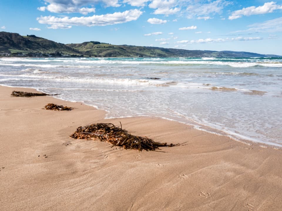 EasyApollo Bay Foreshore Walk5.5 km · 1 hr · 12.5 km awayA coastal footpath threads past Apollo Bay’s foreshore sculptures.
 ChallengingGreat Ocean Walk100 km · 1.5 days · 13.1 km awayA 100 km westbound trek through forests, beaches and sea cliffs.
 Sight · 0.1 km awayHopetoun FallsTree ferns frame a waterfall; the lower view takes 200 stairs.
 Sight · 1 km awayThe RedwoodsA tall, quiet redwood grove beside the Aire River.Sight · 4.3 km awayBeauchamp FallsA bright, fern-framed cascade reached by a forest walk
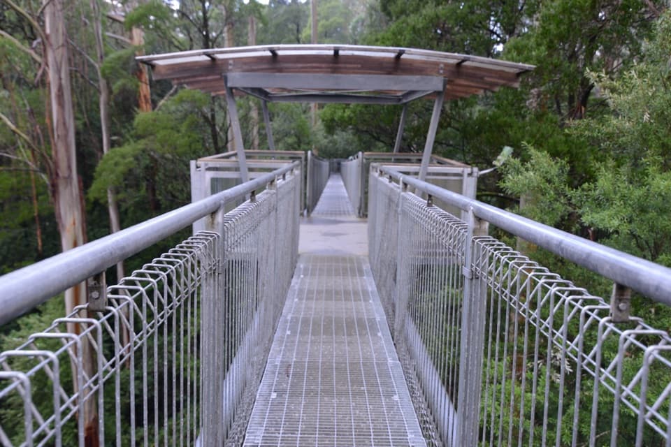 Sight · 5.9 km awayOtway Fly Treetop AdventuresWalk above the canopy, then climb the Spiral Tower.Sight · 6.3 km awayTriplet FallsRainforest boardwalks and three cascades at a former mill site.
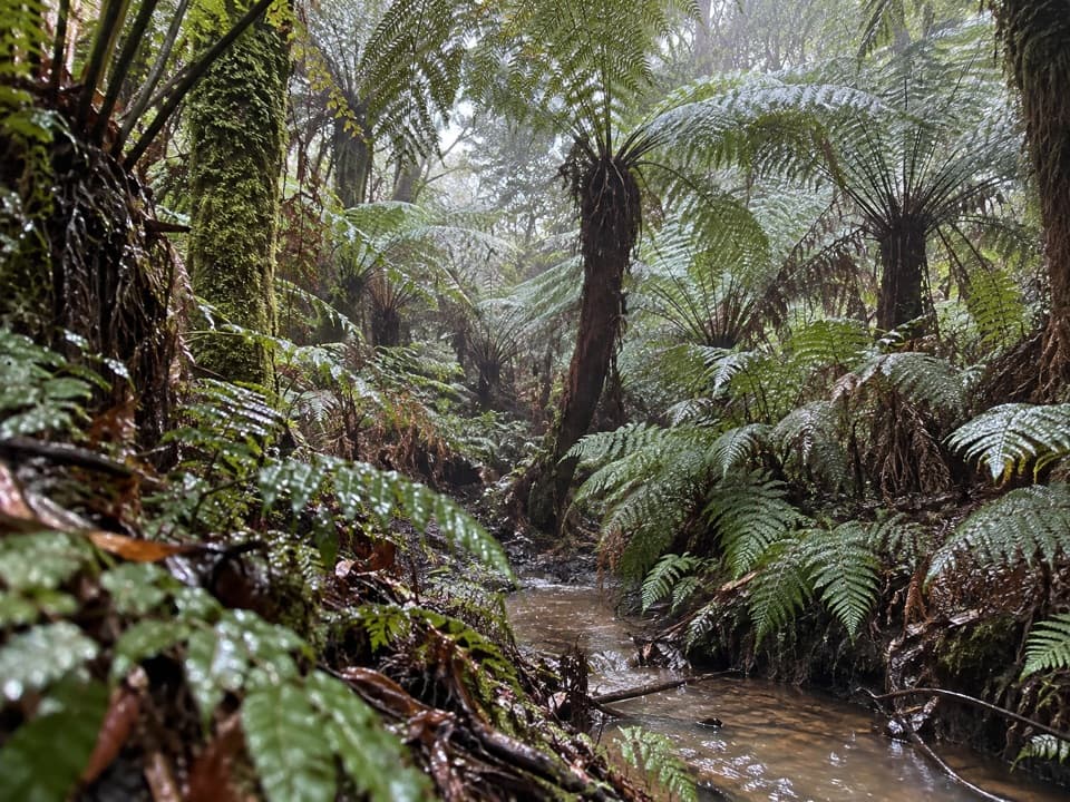 Sight · 9.8 km awayMaits Rest Rainforest WalkA shady boardwalk loop through fern gullies and giant old trees.Sight · 11.5 km awayMarriners LookoutApollo Bay’s curve of coast is worth the short climb.
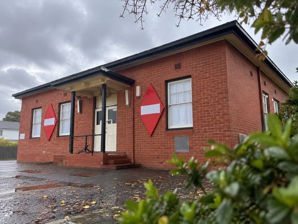 Sight · 12.4 km awayApollo Bay MuseumTrace the 1936 cable link that tied Tasmania to the mainland.
Parkwolf’s Great Ocean Road ranking

The audio tour guide for the drive, plus offline maps, trails, and wildlife heatmaps for when the signal drops.