Pros & cons
PROS
- Easiest access to the creek and dunefield from the main lot
- Spring “surge flow” creates playful waves when snowmelt peaks
CONS
- Highly seasonal; often dry at the main area by July–September
- Peak flow brings heavy crowds, especially on late May–early June weekends
Overview
This is the go-to starting point to reach Medano Creek and the base of the dunes. In a typical year, snowmelt brings the creek to life April through June, with a short, spectacular peak in late May to early June when rhythmic “surge flow” waves roll across the sand. The rest of the year, especially late summer and fall, the creek here is often just a trickle—or gone.
What Makes It Special
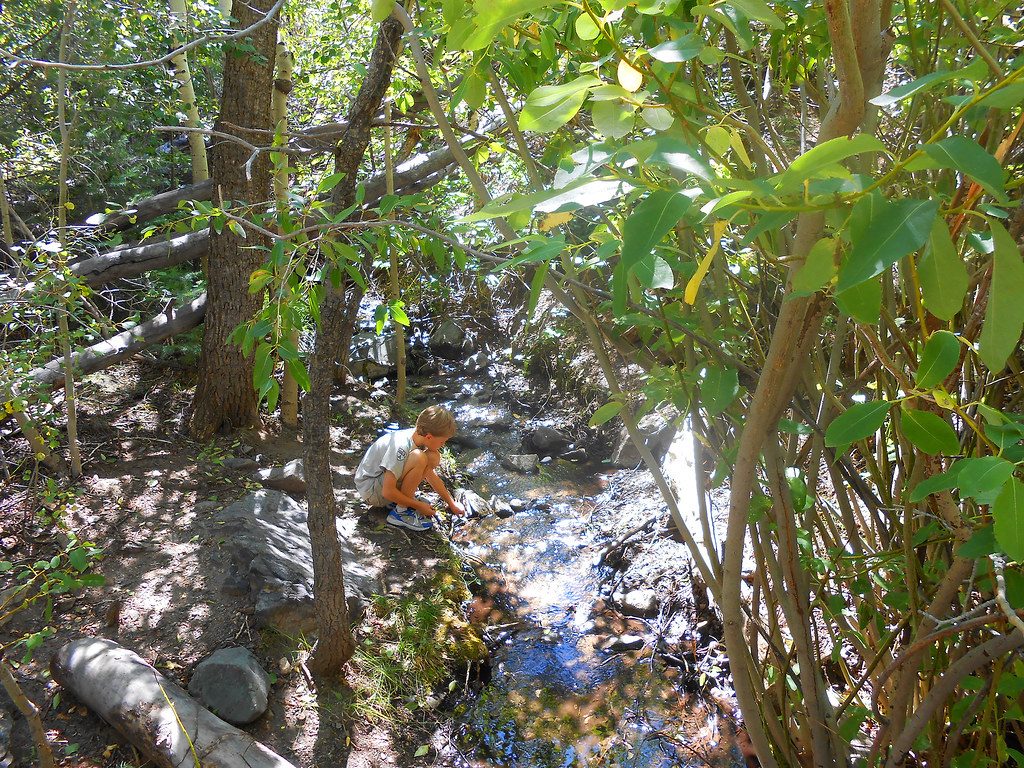
When conditions line up—steeper gradient, smooth sandy bed, and enough water—Medano Creek pulses in waves every ~20 seconds. It’s a rare phenomenon and turns the base of the dunes into a sandy “beach day” scene where people wade, skim, float small inflatables, and sculpt sand.
Seasonal Expectations
- April: Flow begins as a cold trickle, building to a few inches by month’s end.
- May: Rising, playful water; late May is usually the peak and the best chance for surge flow. Weekends can be slammed.
- Early June: Often warm enough for water play, with surge flow still possible.
- Late June–July: Levels drop fast; mosquitoes tend to appear when the water gets low and slow. By July the creek usually retreats toward the mountains and dries up at the main lot.
- Aug–Sep: Commonly dry here; any lingering trickle is more likely upstream or along the primitive road corridor.
Access & Logistics
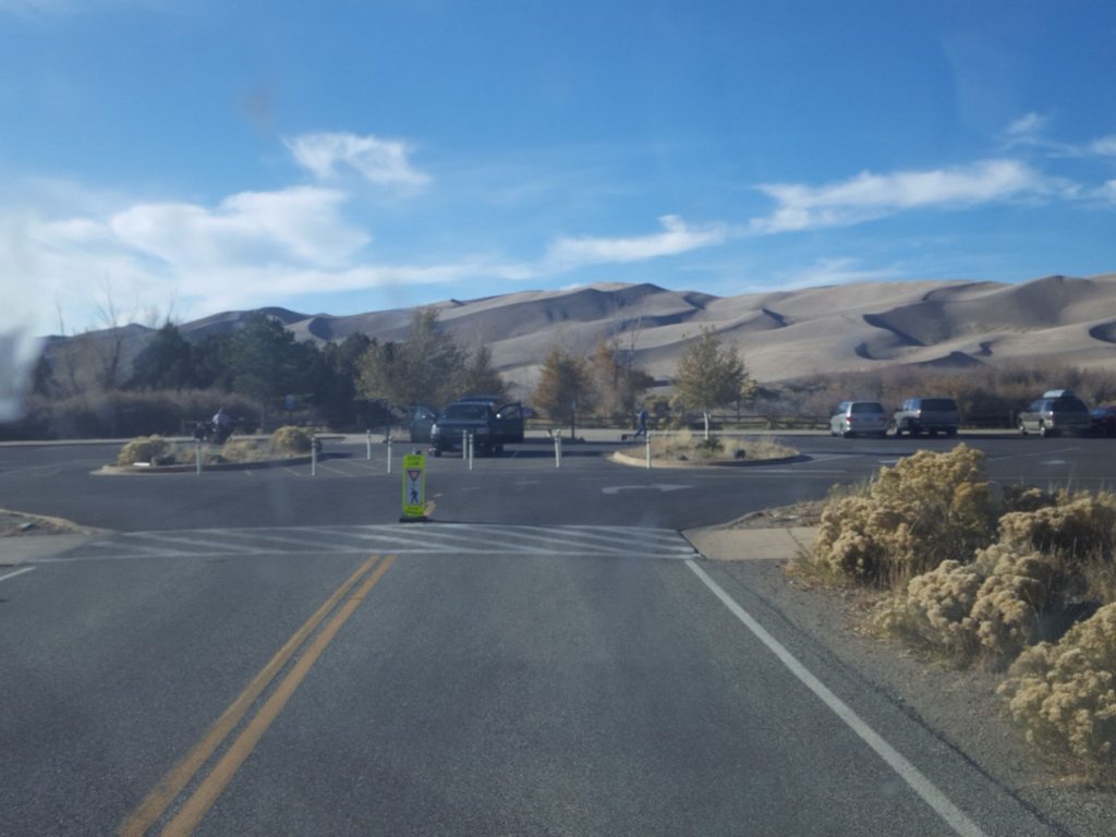
Park at the big Dunes day-use/parking area and walk a short, sandy approach to the creekbed between the lot and the dunes. If the creek is dry here, you can:
- Walk upstream 1–3 miles in the creekbed to find water.
- Drive to Point of No Return and hike about 0.7 miles to the creek.
- Explore farther along Medano Pass Primitive Road (true high-clearance 4WD beyond Point of No Return) where the road crosses the creek multiple times and you’ll find day-use pullouts and picnic areas.
Crowds, Bugs, and Wind
Crowds peak during late May–early June, with lines at the entrance and overflowing lots—go early or on weekdays. Tiny gnats can pop up in May; mosquitoes typically peak mid-June into July when the water is low and sluggish. Spring afternoons are often windy, so aim for earlier in the day.
Wildlife
Along the creek corridor, visitors often spot mule deer and a variety of birds. Keep your distance and avoid trampling vegetation near the water.
Best Time to Visit
For the classic splashy experience and surge flow, target late May to early June in an average or wet year. Arrive early morning for easier parking and better light; flows tend to be higher at dawn and lower late afternoon. If your visit is later in summer, plan on hiking upstream or using the primitive road corridor to find water.
Quick Notes
Médano is pronounced “MED-ah-no.” The park posts current conditions, and a state water resources gage upstream tracks flow—check both before banking on creek time.
Where it is
37.7395, -105.5171Tips for Medano Creek Trailhead
- 01For surge flow, aim for late May to early June in an average year.
- 02Arrive early and on weekdays to beat the late spring crowds.
- 03Check current conditions and the upstream flow gage before you go.
- 04Bring sandals or water shoes and expect windier spring afternoons.
- 05If it’s dry at the main lot, hike upstream 1–3 miles or start from Point of No Return.
Amenities
Near Medano Creek Trailhead
All places →All trails →
0 mi awayStar DuneLong ridge walk to one of North America’s tallest dunesChallenging · 7.1 mi · 4 hr
0 mi awayHigh Dune on First RidgeShort, brutal sand slog to huge views of the dunes and SangresChallenging · 3 mi · 3 hr
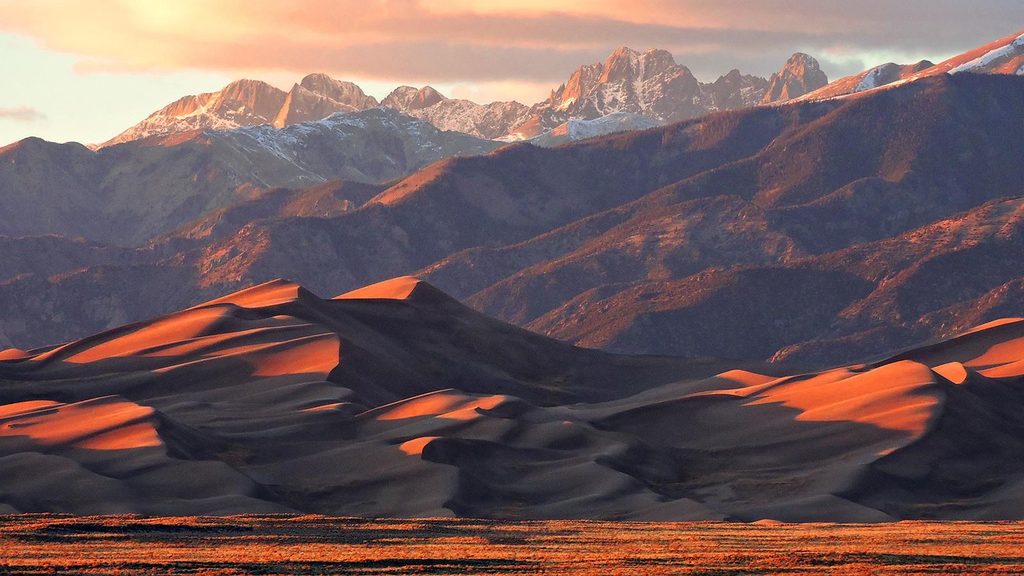
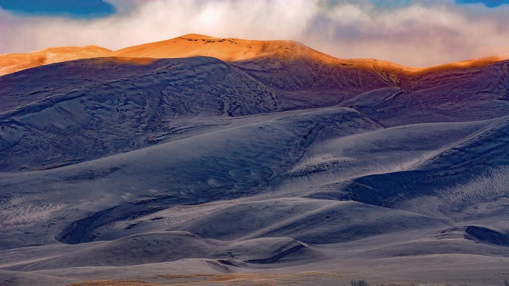
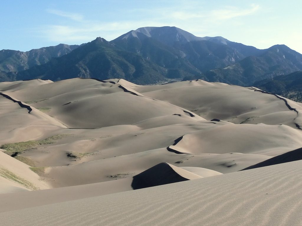
0 mi awayGreat Sand Dunes (Dune Field)Towering dunes with a seasonal creek, sledding, and starry skiesRestroom · Parking
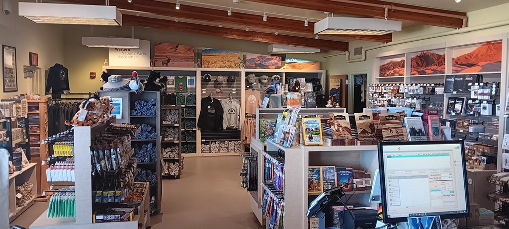
0.5 mi awayPark Store at the Great Sand Dunes Visitor CenterSmart souvenirs that fund the park’s research and educationStore · Restroom
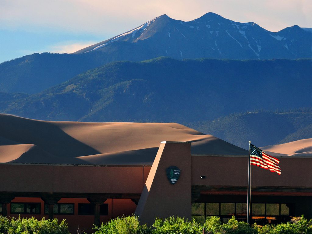
0.5 mi awayVisitor CenterBest first stop for exhibits, maps, and sweeping dune viewsVisitor Center · Restroom
0.6 mi awayMosca PassShaded mountain hike to a historic pass with occasional dune glimpsesTrailhead · Parking
0.6 mi awayMosca Pass TrailShaded creekside climb to a historic pass with dune glimpsesModerate · 7 mi · 3.5 hr
0.6 mi awayMontville Nature TrailShady half-mile loop with dune-and-mountain views and historyEasy · 0.5 mi · 30 min