Pros & cons
PROS
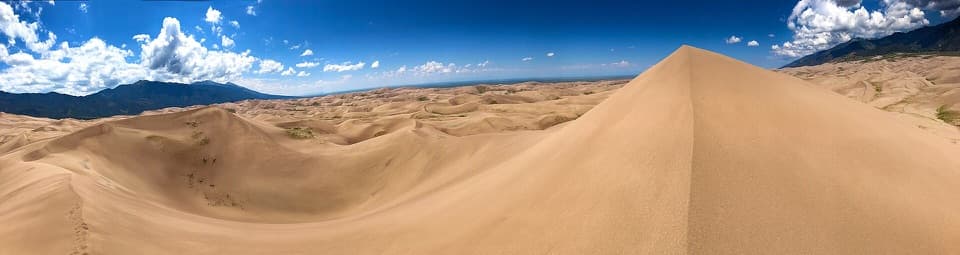
- Unmatched summit views over the entire dune field
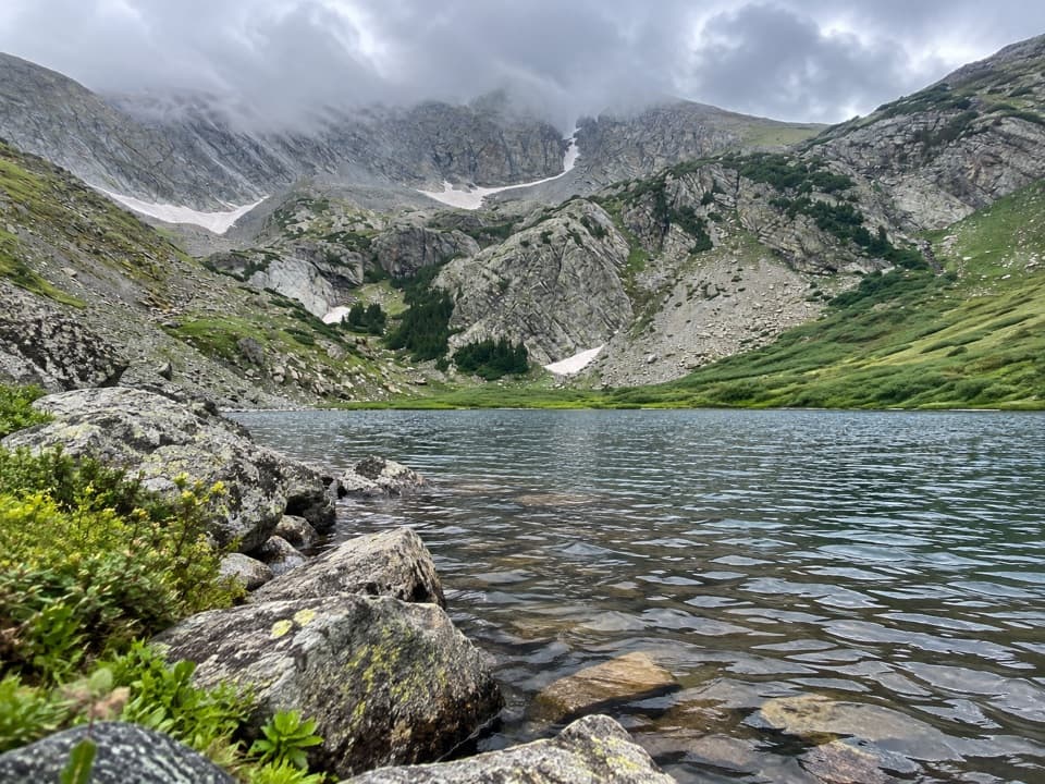
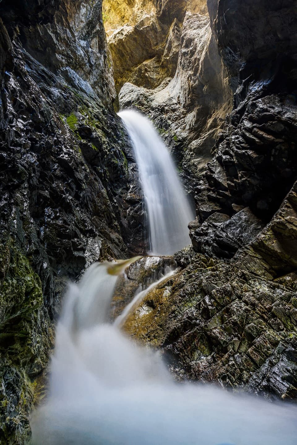
- Beautiful Medano Lake along the route
- Often far quieter than the dunes below
CONS
- High-clearance 4WD required to reach the trailhead
- Steep, faint use-trail above the lake with tricky route-finding
Overview
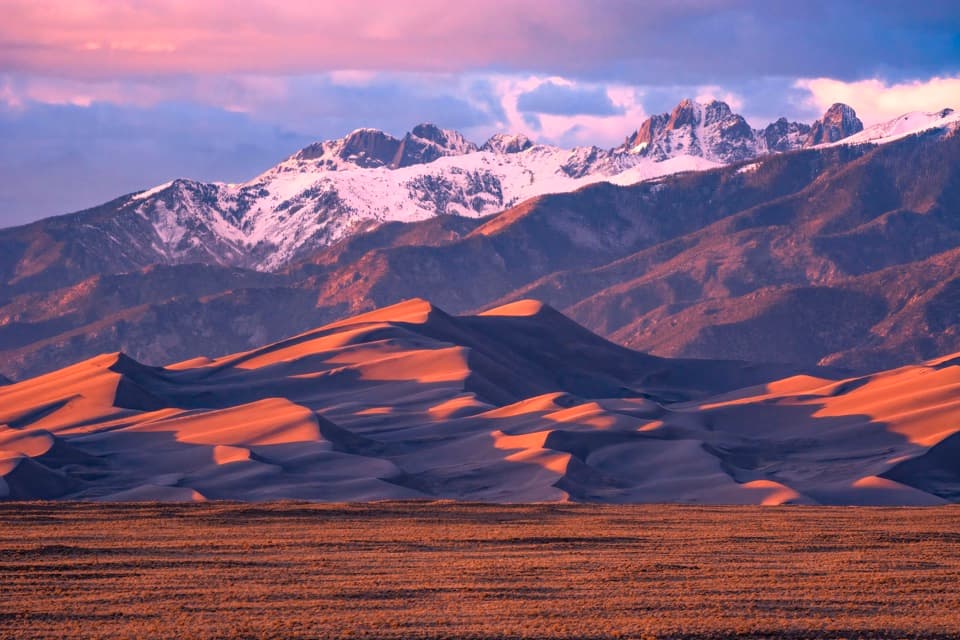
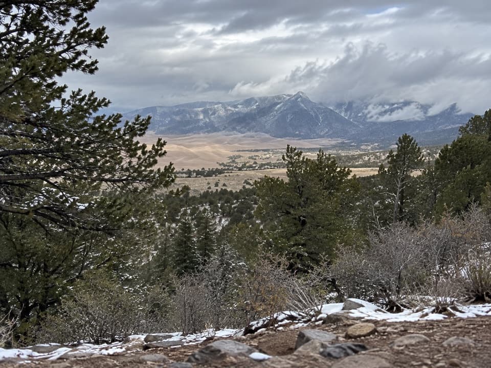
Rising to 13,297 feet, Mount Herard delivers the park’s most dramatic bird’s‑eye view of the dunefield, with a wild alpine approach that feels a world away from the sand. It’s a full‑value day: forested hiking to a high lake, then a steep tundra/talus climb to a broad summit plateau with a “sea of sand” below.
Route at a Glance
- Distance and gain: roughly 8.8–9 miles round trip with 3,300–3,700 feet of gain, depending on where you park and your exact line.
- To Medano Lake: about 3.7 miles through subalpine forest and meadows to a gorgeous alpine lake; expect occasional blowdowns and some rocky tread.
- Lake to summit: a very steep 1.5‑mile push on a cairned, user path up talus/ridge. The spur can be subtle—many hikers trend up a rockslide opposite the lake to pick up the ridge. Above the saddle, it eases to mostly tundra walking with a use‑trail.
What Makes It Special
From the summit and even the false summit, you’ll get sweeping views of the dunefield, the Sangre de Cristo crest, and distant peaks. Expect big‑sky shadowplay and constantly changing light on the sand and ridgelines. Despite the park’s popularity, this route often offers real solitude, especially beyond the lake.
Getting There (Medano Pass Primitive Road)
Access is via Medano Pass Primitive Road—this is true backcountry driving. A high‑clearance 4WD with low range and robust off‑road tires is strongly recommended; AWD isn’t permitted beyond the Point of No Return. The road includes deep sand, sharp rocks, and nine creek crossings, and overall it’s generally open mid‑ to late‑May through November, conditions permitting. Drop tire pressure to about 20 psi for sand (there’s a free air station near the south entrance in warmer months) and check current road status before committing. Designated roadside campsites exist in the Preserve; do not park or camp outside signed locations. ATVs/UTVs are not allowed anywhere in the park or preserve.
Conditions, Difficulty, and Navigation
This is a strenuous hike. The trail to the lake is straightforward, but above the lake you’re on a faint, cairned user route where it’s easy to drift—download offline maps and be ready to backtrack. Expect strong winds on the ridge and summit. Early season can bring lingering snow/ice patches; later in summer, start very early to avoid afternoon thunderstorms on open tundra.
Nature, Geology, and What to Watch For
Life zones shift from subalpine forest to alpine tundra above ~11,000 feet; keep an eye out for hardy alpine plants, marmots, and the possibility of bighorn near treeline. Geology buffs will notice classic conglomerate textures and steep cirque‑like walls; Herard’s high snowfields help feed Medano Creek, the seasonal stream that plays a key role in recycling sand around the dunes.
Logistics You’ll Want to Know
- No toilets or potable water at the trailhead or along the route—carry plenty and plan to filter from streams/lake if needed.
- Day hikes need no permit. Overnight trips in the Preserve don’t require a backcountry permit, but if you leave a vehicle overnight in developed Park areas, grab the free overnight parking/camping permit at the visitor center. Separate, advance permits are required for overnights in the Park’s dunes/Sand Ramp backcountry.
- Leashed pets are allowed in the National Preserve; the steep talus above the lake can be tough for some dogs.
Best Time to Visit
Late May through November is typical, depending on snow and road status. Go on a clear weekday, start before sunrise, and aim to be off high ridges before afternoon storms. For photos, morning light highlights shape and shadow across the dunes; winds can be fierce anytime, so bring layers and protect your gear.
Where it is
37.8492, -105.4945Tips for Mount Herard
- 01Reach the trailhead with true high-clearance 4WD and low range; AWD isn’t enough.
- 02Air down to ~20 psi for sand, then re-inflate at the park’s free air station.
- 03Download offline maps—the spur above Medano Lake is cairned and easy to lose.
- 04Start before dawn to beat summer thunderstorms and give yourself a long window.
- 05Carry and filter water; there’s no potable water or toilets at the trailhead.
Amenities
Near Mount Herard
All places →All trails →
0.7 mi awayMedano LakeRemote alpine lake reached via a rugged 4x4 roadTrailhead · Parking
2.8 mi awayMedano CreekShallow, seasonal creek that turns the dunes into a beachParking
3.4 mi awayMedano PassClassic 4x4 route over a high pass with creek crossings and campsScenic Viewpoint · Parking
4.2 mi awayIndian Grove SiteHistoric bark-peeled pines with a quiet backcountry campsiteRestroom · Scenic Viewpoint
5.2 mi awayMusic Pass TrailQuick climb to sweeping alpine views with lake options beyondModerate · 2.4 mi · 1.5 hr
6.3 mi awaySand Ramp TrailLong, sandy connector mostly for backcountry access—not for instant viewsChallenging · 11 mi · 4 hr
6.3 mi awaySand Creek TrailRemote, sandy slog to a wild creek corridor and alpine gateway.Challenging · 10 mi · 0 min
7.3 mi awaySand Sheet Loop TrailEasy interpretive loop with big dune and Sangre views.Easy · 0.4 mi · 15 min