

Place · 0.7 mi away
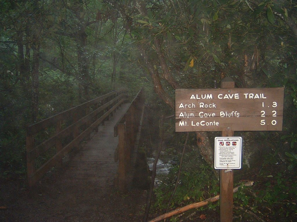
This is the launch point for one of the park’s signature hikes. From here, you’re on the fast track to Arch Rock, Inspiration Point, the sweeping Alum Cave Bluffs, and—if you keep grinding—Mount Le Conte. It’s popular for good reason: the payoff comes early and keeps coming.
The trailhead sits on Newfound Gap Road (US‑441) between mile markers 10–11, about 6.8 miles south of Sugarlands Visitor Center. There’s a parking lot, but it’s a zoo at peak times—arrive early or you’ll be hiking extra road miles back to the start. A parking tag is required. You’ll find a seasonal pit toilet here, but no potable water—bring everything you need.
Expect a gentle to moderate warm‑up along the creek, stone steps through Arch Rock, then a steeper, rockier climb to Inspiration Point and the bluffs. Beyond the bluffs toward Le Conte, the trail narrows, gets more exposed, and includes stair steps and rocky tread—spectacular, but it will make you earn the views.
Beat the rush by starting at or before sunrise, especially in June–July and on October weekends. Weekdays are easier than weekends. Early starts also mean quieter photos and cooler temps; by late morning, both the lot and the trail get crowded.
Winter brings ice and even falling icicles—traction devices (microspikes) are smart when it’s cold. Storms can build fast at higher elevations. Turn around at Arch Rock or the bluffs if conditions or energy dip; the grade and exposure increase after those points.
Black bears are around in this part of the park, though sightings aren’t guaranteed. Keep a clean pack, give wildlife space, and never feed animals.
Place · 0.7 mi away
Place · 0.7 mi away
Place · 0.9 mi away
Place · 1.5 mi away
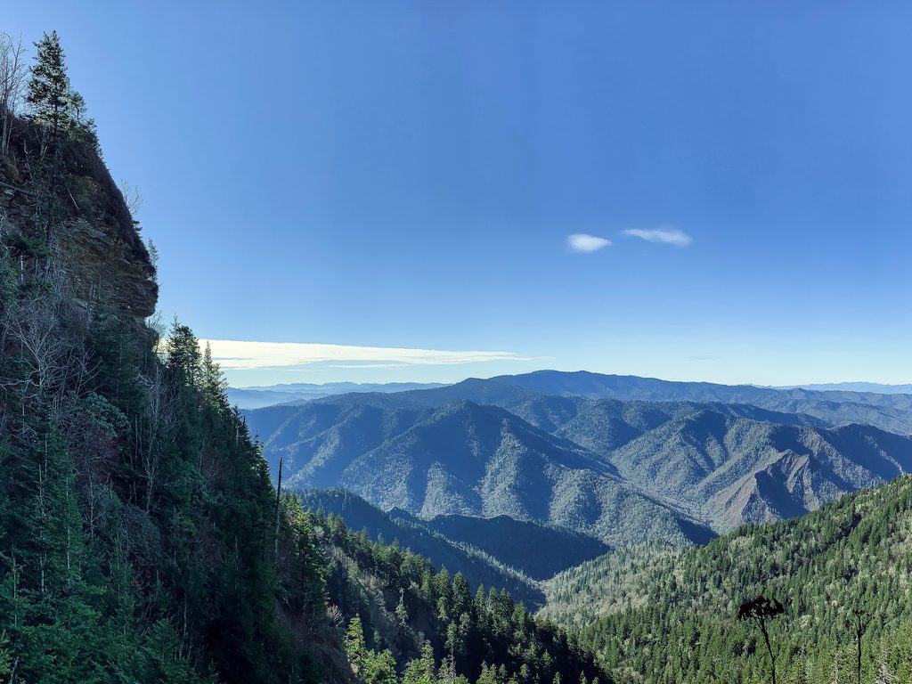
Moderate · 0.1 mi away
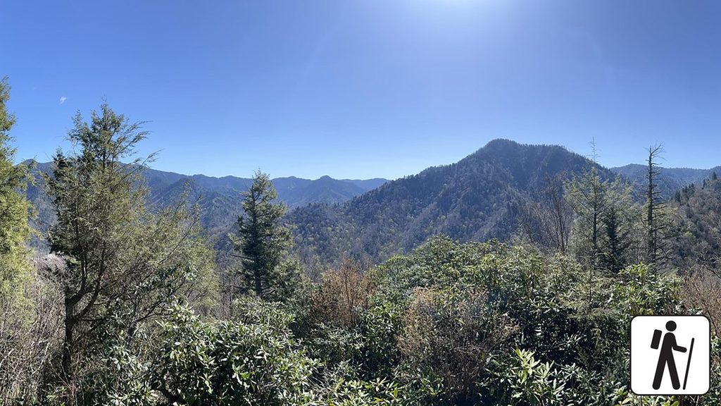
Challenging · 1.1 mi away
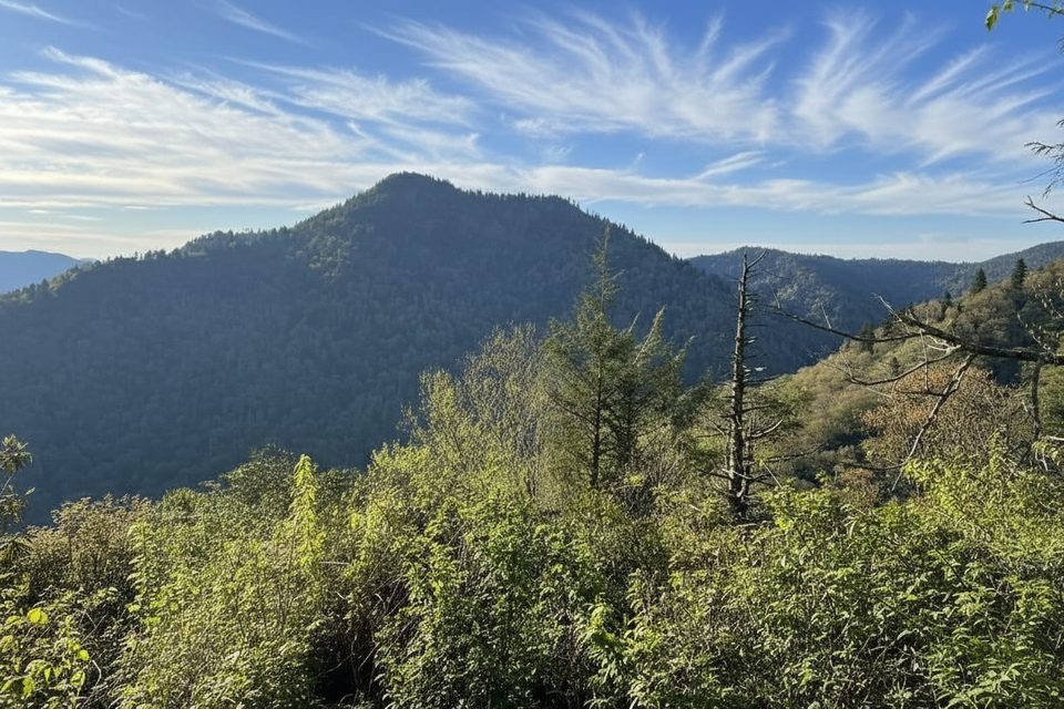
Challenging · 1.4 mi away
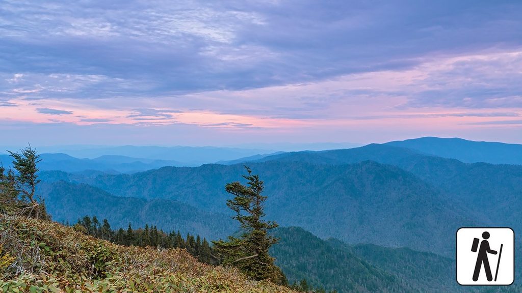
Challenging · 2 mi away

Parkwolf Tour Guide
