
Place · 0.7 mi away
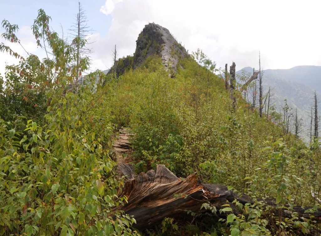
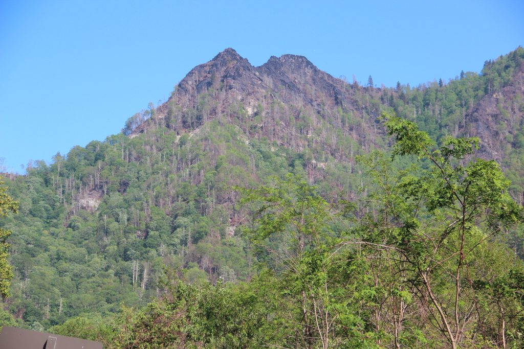
Chimney Tops is one of the park’s most famous short-but-steep hikes, climbing fast to a scenic overlook with sweeping views of Mount LeConte and the rocky Chimney Tops pinnacles below. It’s only about 3.5 miles roundtrip to the official overlook, but the elevation gain is punchy—roughly 1,300–1,400 feet overall, with about 960 feet in the last mile. Expect a heart-thumping stair workout and a big payoff.
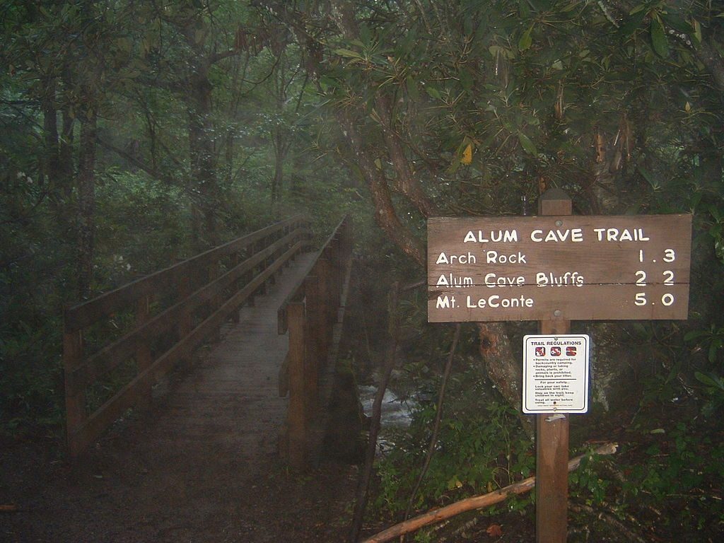
The trail starts mellow along lively streams, crossing several sturdy footbridges and passing photogenic cascades. Then it ramps up—think lots of stone steps and sustained climbing. The path benefitted from a major Trails Forever rehabilitation, so the tread and stonework are solid even as the grade steepens.
Due to 2016 wildfire damage and erosion, the last 0.25 miles to the former rock-scramble pinnacles is closed. Don’t go past the gate. The new observation point sits just below and still delivers excellent vistas of the pinnacles and the LeConte massif.
A multi-year restoration beginning in 2012 added hundreds of stone steps to combat severe erosion. The November 2016 wildfire—ignited near Chimney Tops—burned nearly 18,000 acres, claimed lives, and destroyed thousands of structures, prompting today’s summit closure. The Cherokee name for Chimney Tops, “Duniskwalgunyi,” meaning “forked antler,” nods to the peak’s distinctive twin spires.
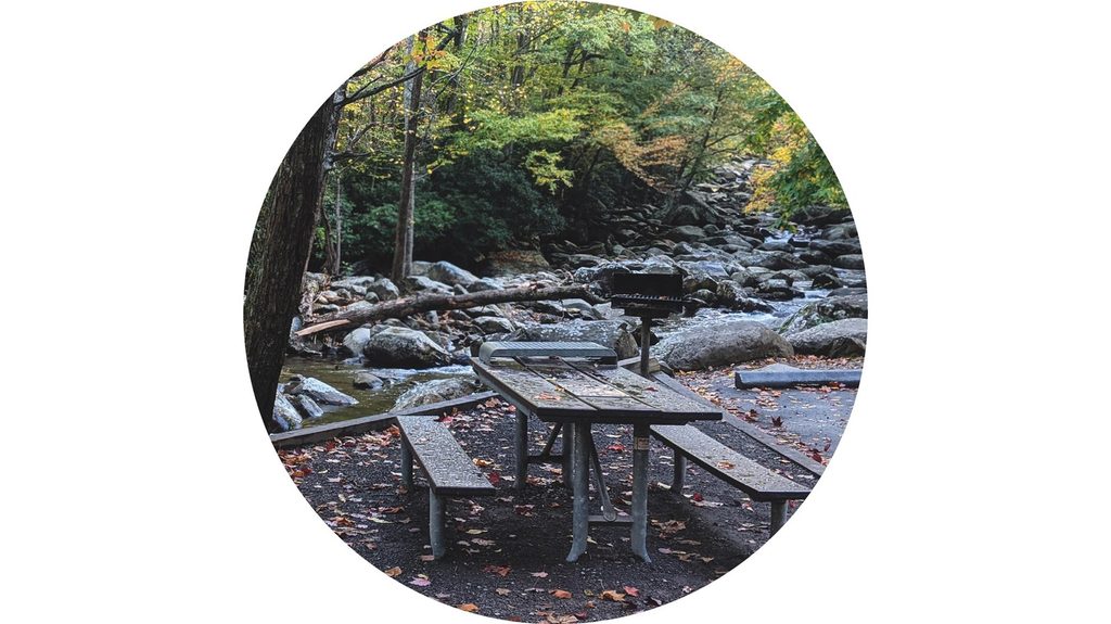
The trailhead sits on Newfound Gap Road (US 441), roughly 6.5–7 miles from Sugarlands Visitor Center. Parking is limited and routinely full early. A Great Smoky Mountains National Park Parking Tag is required for any vehicle parked more than 15 minutes (daily $5, weekly $15, annual $40). There are no restrooms at the trailhead; use nearby Chimneys Picnic Area facilities. Don’t count on cell service.
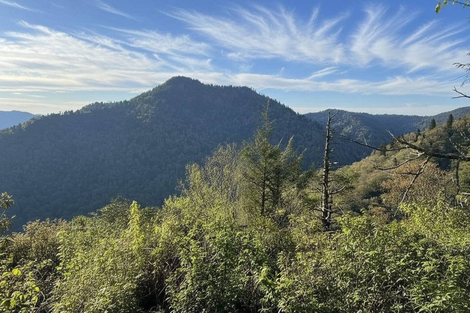
In spring and early summer, rhododendron and mountain laurel frame creek-side stretches, and the cascades make great photo ops. From the overlook, you’ll get big Smokies scenery—layered ridges, the sharp pinnacles, and LeConte front and center.
Short mileage doesn’t mean easy: the grade and stairs make this strenuous for many. Wear grippy footwear, bring plenty of water and a snack, and consider trekking poles—especially for the descent. After rain, expect slick rocks and mud.
Arrive early to beat the parking crunch and the crowds, or aim for late afternoon when haze often lifts for clearer views. Summer afternoons can be warmer; shoulder seasons can be muddy. Either way, build in extra time for parking.
Pets are not permitted on this trail. If you’re traveling with a dog, opt for the Gatlinburg Trail or Oconaluftee River Trail instead.
Place · 0.7 mi away
Place · 0.9 mi away
Place · 1.5 mi away
Place · 1.9 mi away
Challenging · 0.6 mi away
Easy · 0.9 mi away
Moderate · 1.6 mi away
Challenging · 2.3 mi away

Parkwolf Tour Guide
