Parking
Start at the Indian Gap parking area on Kuwohi Road, beside the Appalachian Trail. Kuwohi Road is seasonal and can close early for snow or ice. The other end meets Chimney Tops Trail; its road parking is about another mile along that trail.
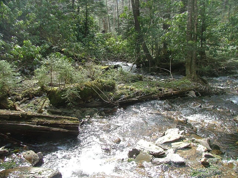
Great Smoky Mountains National Park, TN · NC
A rocky creek walk on the old Oconaluftee Turnpike
Overview
Map & elevation
Plan your hike

The highest, rockiest slopes around here are a summer buffet for grizzly bears.
Great Smoky Mountains Tour Guide
Parkwolf is a GPS audio tour guide for Great Smoky Mountains National Park. As you drive, it chimes in with what’s ahead: hidden gems, upcoming stops, history, geology, and wildlife, right through your car’s speakers.
See the Great Smoky Mountains audio tourRecorded for this area
The Beetle That Clicks Upright“A click beetle can get back on its feet by throwing itself into the air. It has a peg and a little ledge on the underside of its body.”
Plays on the road 0.1 mi from the trailhead in the Parkwolf Great Smoky Mountains Tour Guide.
More stories near here in the app
“Fantastic app with many points of information… It’s great to just turn on while you’re driving and it gives you an audio tour of the national Park. We love it!!!!”


Trail guide
Road Prong Trail is a rough 2.4-mile, one-way route between Indian Gap and the Chimney Tops Trail, following a high-elevation creek corridor along part of the old Oconaluftee Turnpike. It’s point to point, not a loop. With a shuttle, it makes a compact but rugged creek walk; without one, turn around for about 4.8 miles total. From Indian Gap the trail drops roughly 1,400 feet and takes about two hours one way. The return climbs that same grade.
The upper stretch runs between Sugarland Mountain and Mingus Lead through dense, high-elevation forest over loose rock. After about half a mile, the trail starts crossing Road Prong repeatedly, then crosses a tributary and passes Indian Grave Flats. One broad crossing has no footlog; after it, the trail reaches Beech Flats and joins the Chimney Tops Trail. High water can make that crossing unsafe, so don’t treat the short mileage as an easy stroll.
The trail follows surviving sections of the Oconaluftee Turnpike, a rough wagon road built across Indian Gap in the 1830s along an older Cherokee route. It carried livestock over the crest before Newfound Gap Road became the main way through. The old route gives this walk a little more story than a creek hike alone.
Indian Gap has a roomy parking area beside the Appalachian Trail, reached by Kuwohi Road. That road is seasonal and can close early for snow or ice, so check its status before driving up. At the other end, Road Prong meets Chimney Tops Trail; the Chimney Tops road parking is about another mile along that trail, so a through-hike needs a shuttle. Dogs aren’t allowed on this trail.
Wildlife
 1,569 sightingsBlack BearMost seen around 7 PMSighting map
 900 sightingsElkMost seen around 7 AMSighting map
 13 sightingsBald EagleMost seen around 9 AMSighting map
 142 sightingsTimber RattlesnakeMost seen around 6 PMSighting map
 26 sightingsBobcatMost seen around 8 PMSighting map
 42 sightingsRiver OtterMost seen around 7 AMSighting map
Sighting maps show where each species has been reported across Great Smoky Mountains. Wildlife moves, so no sighting is guaranteed.
Keep exploring
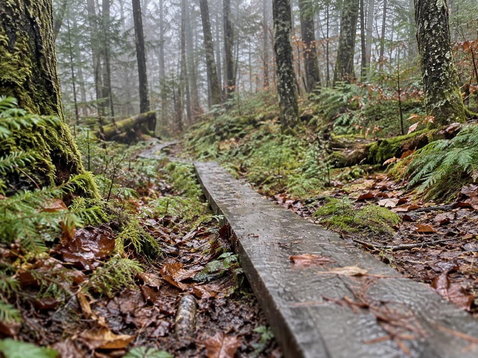 EasySpruce-Fir Nature Trail0.4 mi · 30 min · 1.2 mi awayA short, shaded loop through the Smokies' spruce-fir woods.
 ModerateCharlies Bunion via Appalachian Trail8 mi · 5 hr · 1.2 mi awayAn 8-mile Appalachian Trail out-and-back to an exposed Smokies outcrop
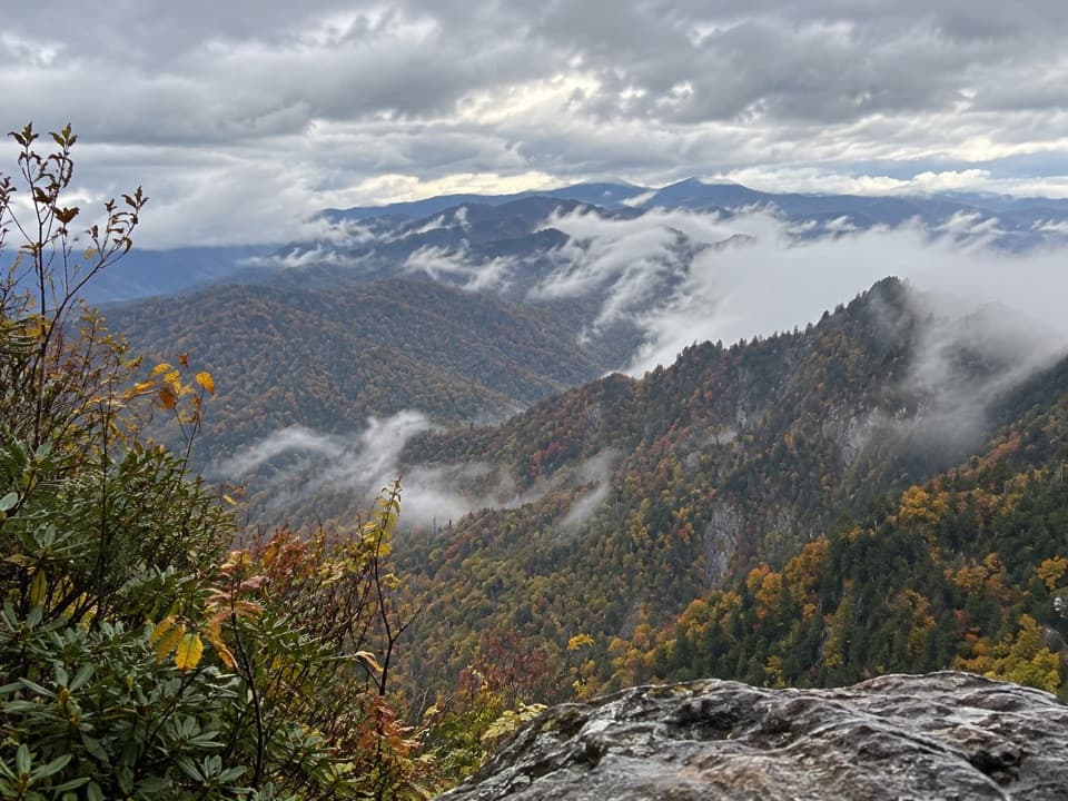 ModerateThe Jump Off Trail6.5 mi · 4 hr · 1.2 mi awayClimb a rough AT approach to a cliffside Smokies panorama
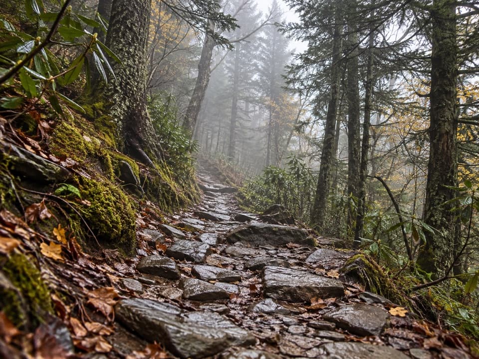 ChallengingMount Le Conte via Appalachian Trail and Boulevard Trail16.2 mi · 10 hr · 1.2 mi awayA demanding ridge traverse to Le Conte via the Appalachian Trail.
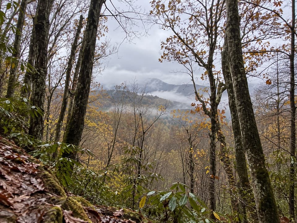 ModerateOld Deep Creek Quiet Walkway0.1 mi · 15 min · 1.2 mi awayA signed, steep forest path drops from Newfound Gap Road.
 ChallengingMount Le Conte via Alum Cave Trail10 mi · 7 hr · 1.4 mi awayA creekside climb through rock passages to high mountain views.
 ModerateAlum Cave Trail to Alum Cave Bluffs4.6 mi · 3.5 hr · 1.4 mi awayA forest climb to a 75-foot rock shelter and natural arch.
 ChallengingDeep Creek Trail14.3 mi · 8 hr · 1.5 mi awayA long one-way descent from Newfound Gap Road to Deep Creek.
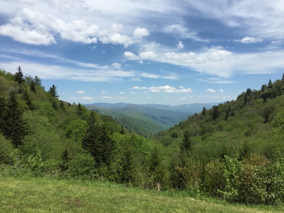 Scenic pullout · 0.6 mi awayLuftee OverlookA quick roadside pause for layered ridges and sunrise.
 Sight · 1.2 mi awayNewfound Gap OverlookA 5,046-foot pass, a state line, and a historic terrace.
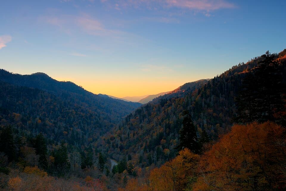 Sight · 1.4 mi awayBen Morton OverlookA west-facing Smokies overlook with a seasonal sunset alignment.
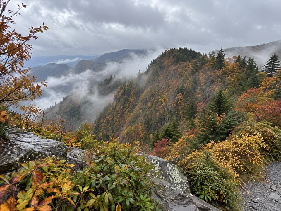 Scenic pullout · 1.6 mi awayDeep Creek Valley OverlookA roadside viewpoint over Deep Creek Valley
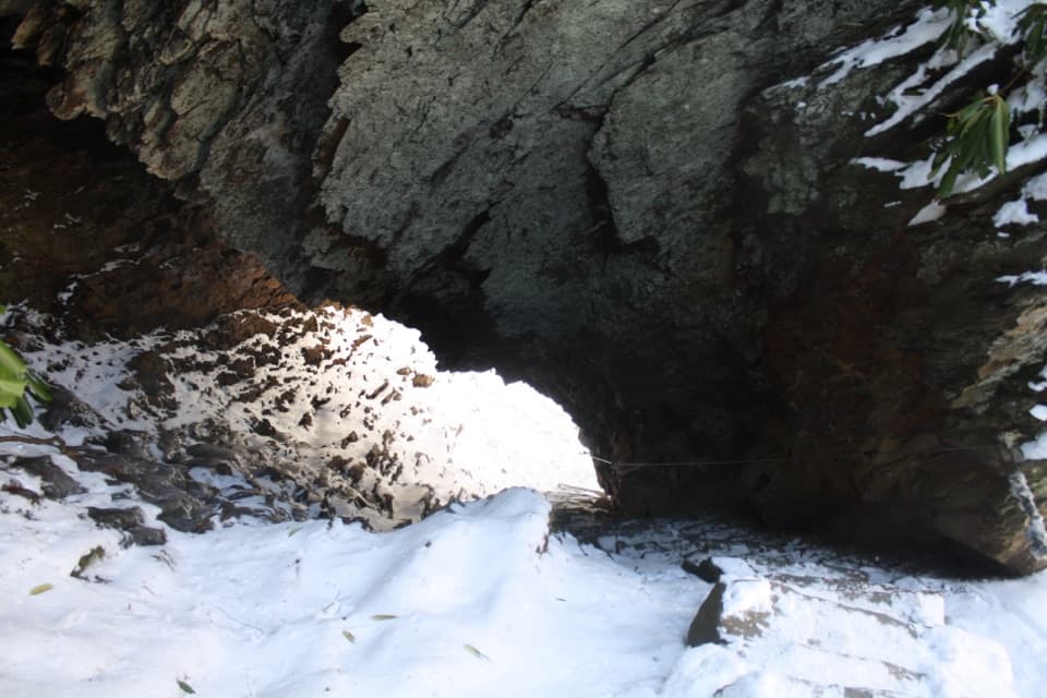 Sight · 1.9 mi awayArch RockTake the stone steps right through a natural arch.Sight · 2 mi awayAlum Cave BluffsA 4.6-mile Smokies hike ends beneath a 75-foot rock overhang.
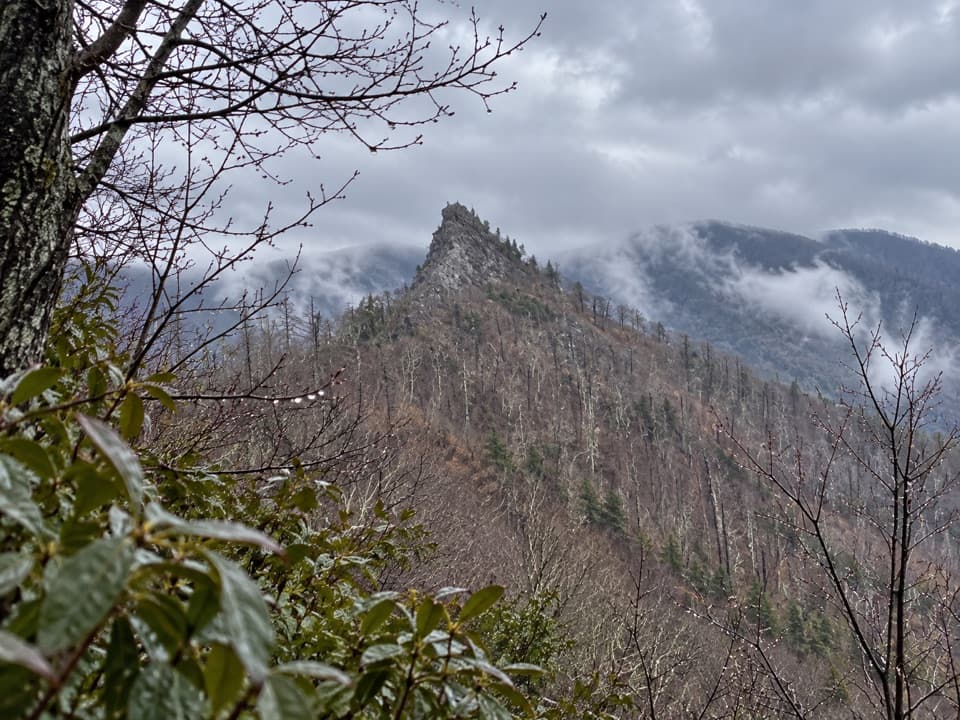 Sight · 2.1 mi awayChimney Tops Trail ViewpointA steep climb to the pinnacle view; the summit itself is closed.
 Scenic pullout · 2.2 mi awaySwinging Bridges South OverlookLayered ridgelines from a short roadside pull-off.
Parkwolf’s Great Smoky Mountains ranking

The audio tour guide for the drive, plus offline maps, trails, and wildlife heatmaps for when the signal drops.


