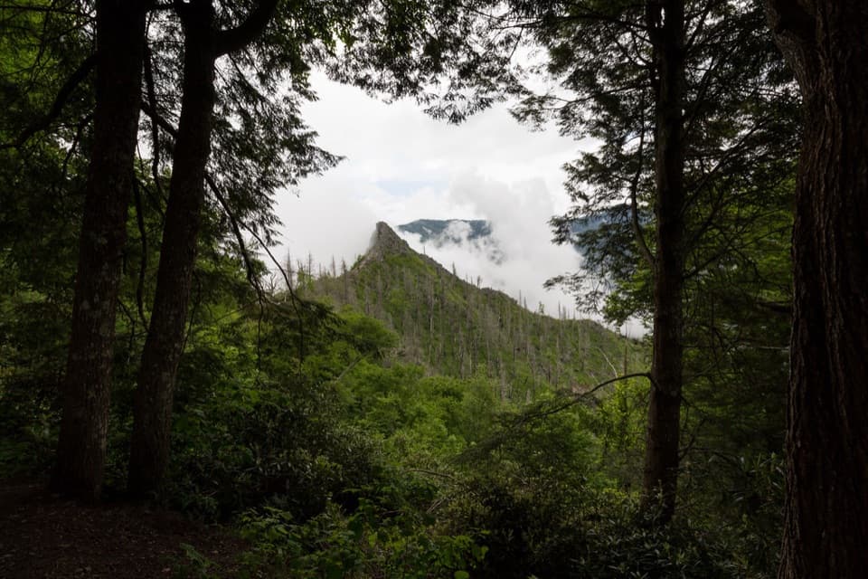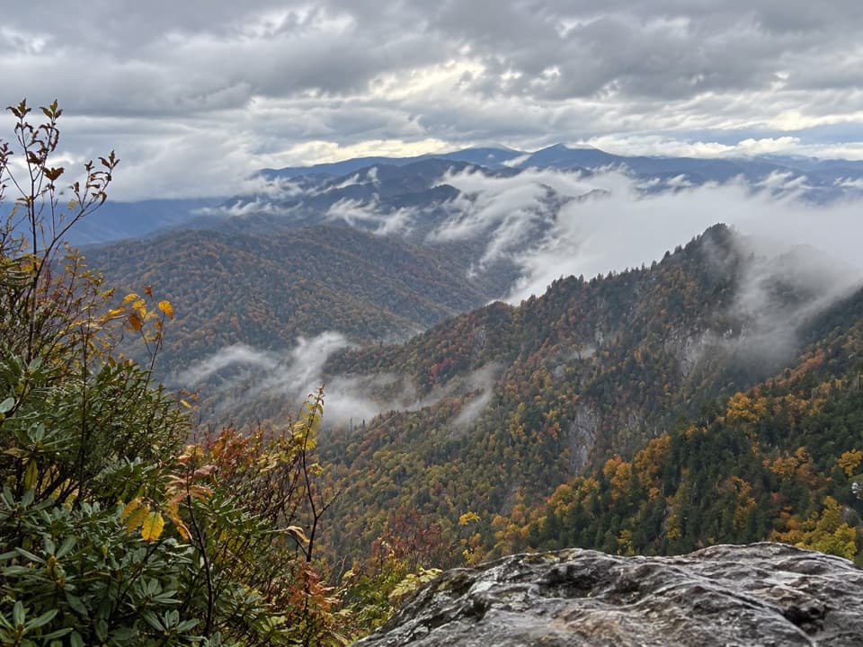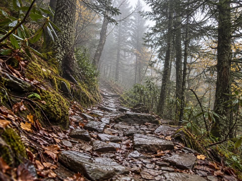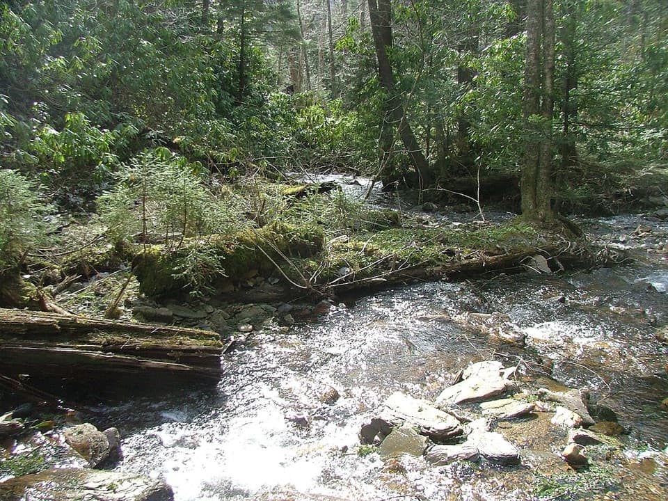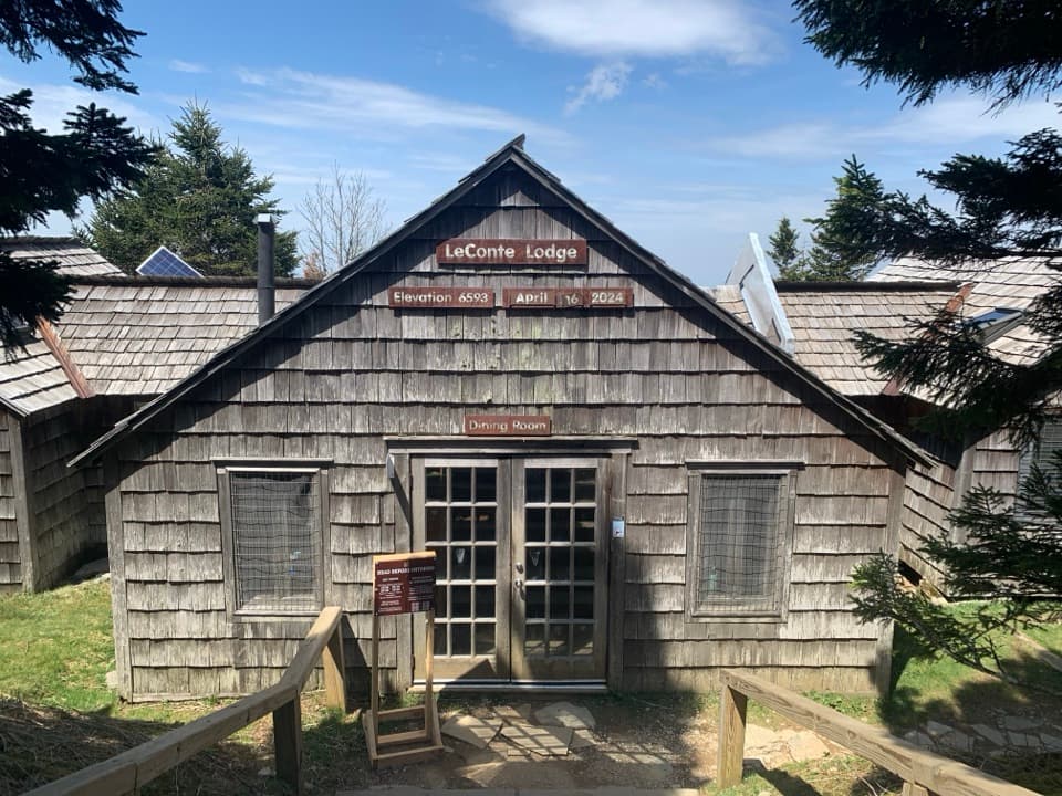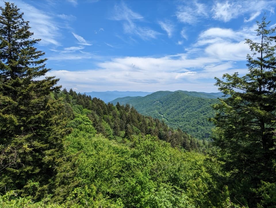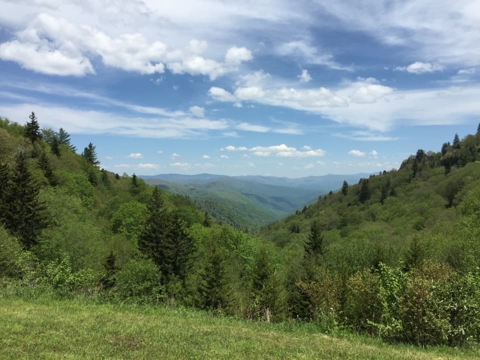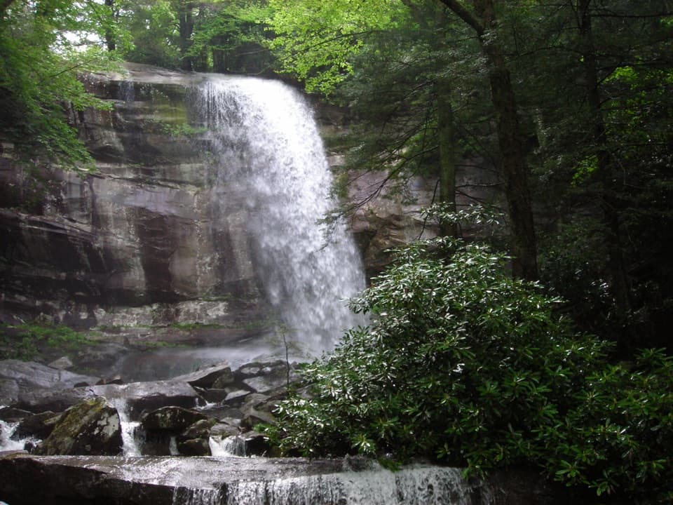
Arch Rock in Great Smoky Mountains National Park

Sight · Great Smoky Mountains National Park

Arch Rock

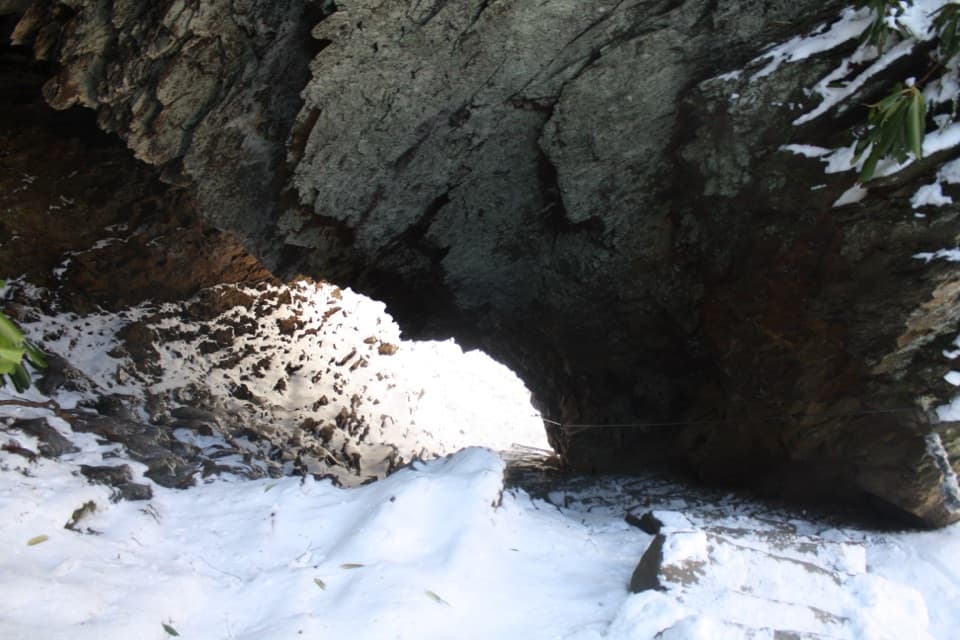
Take the stone steps right through a natural arch.

Photo: Wikimedia Commons
Type
Sight
Nearest trail
0.9 mi
Audio stories
6 nearby
  • Scenic viewpoint
  • #52 of 104 sights

Hear the audio tour

Alum Cave Trailhead

Overview

About Arch Rock

Why stop

  • The trail climbs through the park’s only walk-through arch.

Heads up

  • Narrow stairs and limited trailhead parking can slow the visit.

Map

Where it is

Loading the Great Smoky Mountains map
Full map
SightArch Rock35.63652, -83.43805
Keep this map with you offline in the Parkwolf app

Plan your stop

Before you go

7 active Great Smoky Mountains alerts

  • ClosureHurricane Helene trail damage and backcountry restrictionsHurricane Helene damage has restricted backcountry trail access; avoid damaged crossings and observe trail-specific limits.Official details
  • CautionBear-related trail, campsite, and road restrictionsBear activity has closed trails, a shelter, and campsites and restricted pedestrian access on Cherokee Orchard Road; stay out of closed areas and follow vehicle-only rules.Official details

See all 7 alerts
A park ranger sits on a dash-mounted phone, talking, as Parkwolf’s Tour Guide plays “Army Cutworm Moths: A Grizzly Bear Buffet” on Grand Loop Road below Dunraven Pass in Yellowstone
Parkwolf Tour GuideThe highest, rockiest slopes around here are a summer buffet for grizzly bears.

Great Smoky Mountains Tour Guide

Your drive to Arch Rock, narrated.

Parkwolf is a GPS audio tour guide for Great Smoky Mountains National Park. As you drive, it chimes in with what’s ahead: hidden gems, upcoming stops, history, geology, and wildlife, right through your car’s speakers.

See the Great Smoky Mountains audio tour

Recorded for this place

Alum Cave Trailhead
0:00 / 0:27
“You're coming up on the Alum Cave trailhead, where a forest hike leads through Arch Rock to a huge rock overhang.”

Plays as you drive up to Arch Rock in the Parkwolf Great Smoky Mountains Tour Guide.

More stories near here in the app

  • Tulips Above Your Head
  • Ben Morton Overlook
  • Chimney Tops Trailhead
  • Newfound Gap and the Rockefeller Memorial
  • 200 audio storiesacross Great Smoky Mountains’s roads, triggered by GPS as you drive
  • Wildlife heatmapsfor Black Bear, Elk, Bald Eagle, and 13 more
  • Works offlinemaps, 197 trails, 137 places, and audio download before you lose signal
  • CarPlay readysimple controls built for the drive
★★★★★
“Fantastic app with many points of information… It’s great to just turn on while you’re driving and it gives you an audio tour of the national Park. We love it!!!!”
JMJamesApp Store review
Download Parkwolf on the App StoreGet Parkwolf on Google Play

4.7 from 8,600+ ratings

Guide

More about Arch Rock

Go through the archArch Rock is a natural opening along Alum Cave Trail, reached by a winding stone stairway that…

Arch Rock is a natural opening along Alum Cave Trail, reached by a winding stone stairway that passes underneath the rock and climbs through it. It is the only rock formation in the park that visitors can hike through. That short passage is the reason to make this a destination.

Make it a 2.8-mile returnFrom Alum Cave Trailhead on Newfound Gap Road, the arch is 1.4 miles each way.

From Alum Cave Trailhead on Newfound Gap Road, the arch is 1.4 miles each way. The trail follows old-growth forest and mountain streams. If you turn around at Arch Rock, you avoid the considerably steeper climb beyond it toward Alum Cave Bluffs and Mount Le Conte.

Trailhead parking is limited and often full. The park suggests considering a shuttle or another hike; a parking tag is required if you leave your car for more than 15 minutes. There is a seasonal pit toilet at the trailhead.

Share the narrow stepsThe stairs and footlog crossings are narrow pinch points, so uphill and downhill hikers may…

The stairs and footlog crossings are narrow pinch points, so uphill and downhill hikers may need to take turns. Rain can make the rocky approach muddy and slippery. In winter, ice and falling icicles are possible. The route has steep sections, rocks and roots, and isn't accessible for visitors with limited mobility; pets aren't allowed.

For a photo, include the footlog and the steps as they lead into the dark opening. Pause to let other hikers through before stopping on the narrow stairs.

The stonework is newer than it looksThe steps can look like Civilian Conservation Corps work from the 1930s, but the park trail…

The steps can look like Civilian Conservation Corps work from the 1930s, but the park trail crew built them in 2015 and 2016. A likely explanation is freeze-thaw weathering: softer rock beneath a more resistant layer gradually wore away.

Wildlife

Wildlife in Great Smoky Mountains

All Great Smoky Mountains wildlife maps

Sighting maps show where each species has been reported across Great Smoky Mountains. Wildlife moves, so no sighting is guaranteed.

Keep exploring

Near Arch Rock

See it all on the map

Trails nearby

More stops nearby

Parkwolf’s Great Smoky Mountains ranking

Top sights in Great Smoky Mountains

All 137 places
  1. 1Kuwohi Observation TowerSight
  2. 2Newfound Gap OverlookSight
  3. 3Cable Mill Historic AreaSight
  4. 4Mountain Farm MuseumSight
  5. 5John Oliver CabinSight
  6. 6Mingus MillSight

Take Parkwolf to Great Smoky Mountains.

The audio tour guide for the drive, plus offline maps, trails, and wildlife heatmaps for when the signal drops.

4.7 from 8,600+ ratings

Download Parkwolf on the App StoreGet Parkwolf on Google Play