
Place · 1.7 mi away
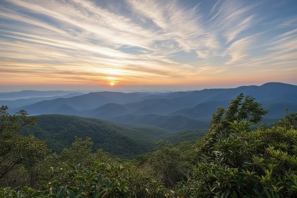
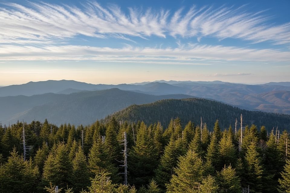
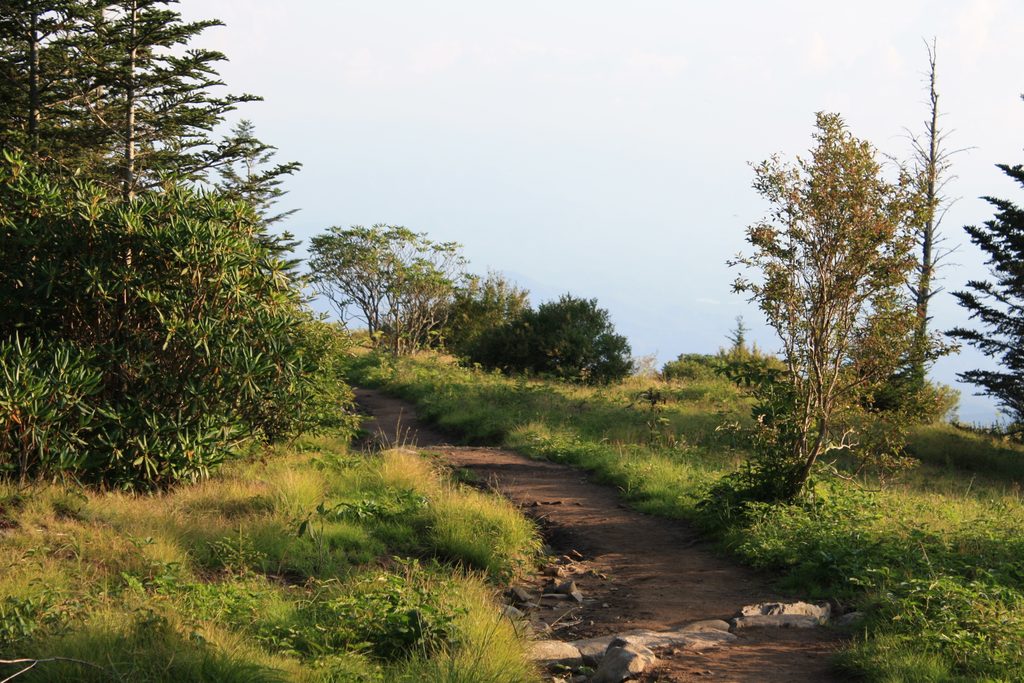
Sassafras Knob is an unsigned, forested high point tucked along the Noland Divide–Fork Ridge–Deep Creek corridor west of Clingmans Dome. Think of it as a waypoint on a bigger adventure rather than a stand‑alone summit. The crest itself is shrouded in trees, so the real eye candy comes along stretches of the Noland Divide Trail, not at the knob.
Expect a true Smokies backcountry feel with light crowds. Trails in this zone can be narrow and steep in places, with occasional overgrowth. Trip notes call out a Deep Creek crossing—water levels vary, but plan on getting your feet wet. The reward is long, rolling ridge walking and the satisfaction of linking classic Smokies terrain into a demanding loop.
Most hikers start when Clingmans Dome Road is open, dropping Fork Ridge toward Deep Creek and then climbing back via Noland Divide. Variations include using segments of Deep Creek Trail. It’s a workout either way due to big elevation loss/gain. Some backpackers split it into two days using designated backcountry shelters/camps; permits/reservations are required.
Clingmans Dome Road is seasonal; check current road and trail status before committing. The park’s official maps are your friend—download them for offline use, and don’t trust car GPS alone in the mountains. If you’re staging from the high country, Newfound Gap and the Clingmans Dome area have restroom facilities that make convenient pre‑ and post‑hike stops (seasonal availability varies).
Late spring through fall is the sweet spot: roads are typically open, daylight is generous, and ridge trails are in better shape. Winter access is limited by the Clingmans Dome Road closure, which makes this outing far more complicated. For photography, plan your ridge segments for morning or late‑day light along Noland Divide—again, don’t expect summit views at the knob itself.
Place · 1.7 mi away
Place · 1.9 mi away
Place · 2.5 mi away
Place · 2.8 mi away
Easy · 3.2 mi away
Moderate · 3.2 mi away
Easy · 3.3 mi away
Moderate · 3.3 mi away

Parkwolf Tour Guide
