Parking
Use the Kuwohi summit parking area at the end of Kuwohi Road; the trail starts beside the visitor information center. Space is limited and can fill quickly. A park parking tag is required for stays longer than 15 minutes.
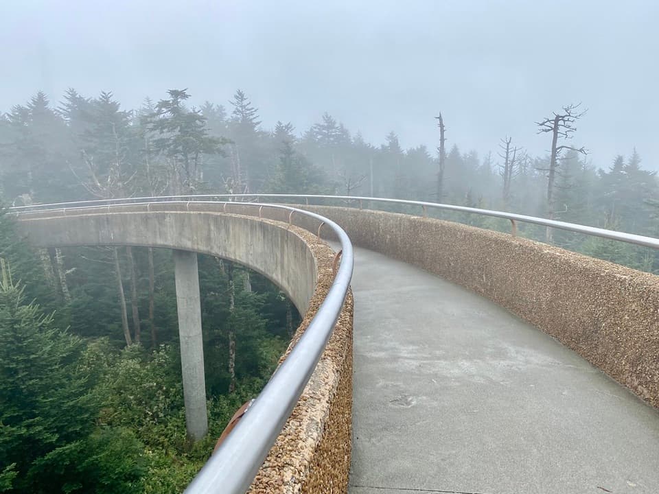
#10 of 197 trails in Great Smoky Mountains
Great Smoky Mountains National Park, TN · NC
A steep paved climb to a tower above the spruce-fir canopy.
Overview
Map & elevation
Plan your hike

The highest, rockiest slopes around here are a summer buffet for grizzly bears.
Great Smoky Mountains Tour Guide
Parkwolf is a GPS audio tour guide for Great Smoky Mountains National Park. As you drive, it chimes in with what’s ahead: hidden gems, upcoming stops, history, geology, and wildlife, right through your car’s speakers.
See the Great Smoky Mountains audio tourRecorded for this trailhead
Kuwohi Observation Tower“You're approaching Kuwohi, the highest summit in the Smokies. The observation tower lifts you above the trees for a full circle of mountain ridges, if the clouds allow it.”
Plays as you drive up to this trailhead in the Parkwolf Great Smoky Mountains Tour Guide.
More stories near here in the app
“Fantastic app with many points of information… It’s great to just turn on while you’re driving and it gives you an audio tour of the national Park. We love it!!!!”


Trail guide
Kuwohi Trail is a steep paved out-and-back from the summit parking area to the observation tower on the Smokies’ highest peak. The usual visitor figure is 1 mile round trip; following the mapped path works out to about 0.58 mile each way, or roughly 1.2 miles on foot. Allow about an hour with time at the tower. It’s a good way to reach the summit without taking on a long mountain hike, but the grade stays steep, so this isn’t a gentle stroll.
Start beside the visitor information center and follow the paved path uphill. The route is clear, with no junctions to choose between; benches along the climb give you places to pause. At the top, the tower’s rising ramp carries you above the spruce-fir canopy. You return the same way, so keep some care for the steep descent too.
The tower gives a broad view across the Smokies when the clouds lift. Fog can hide the ridgelines, so the panorama isn’t guaranteed. Kuwohi means “mulberry place” in Cherokee. The Eastern Band of Cherokee Indians requested the summit’s Cherokee name be restored, and it was reinstated in 2024. The peak is sacred to Cherokee people as well as the highest point in the Smokies.
The trail starts by the summit parking area at the end of Kuwohi Road. Parking is limited and often crowded. A park parking tag is required when you stay longer than 15 minutes. Pit toilets are beside the lot and close in winter; the summit road also closes seasonally in winter, so check access before driving up. Dogs aren’t allowed on this trail.
Wildlife
 1,569 sightingsBlack BearMost seen around 7 PMSighting map
 900 sightingsElkMost seen around 7 AMSighting map
 13 sightingsBald EagleMost seen around 9 AMSighting map
 142 sightingsTimber RattlesnakeMost seen around 6 PMSighting map
 26 sightingsBobcatMost seen around 8 PMSighting map
 42 sightingsRiver OtterMost seen around 7 AMSighting map
Sighting maps show where each species has been reported across Great Smoky Mountains. Wildlife moves, so no sighting is guaranteed.
Keep exploring
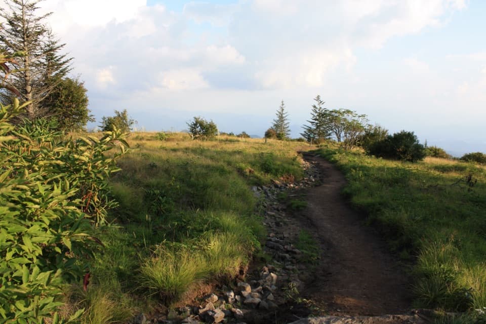 ModerateForney Ridge Trail to Andrews Bald3.6 mi · 2.5 hr · At the trailheadDescend through spruce-fir forest to Andrews Bald, then climb back.
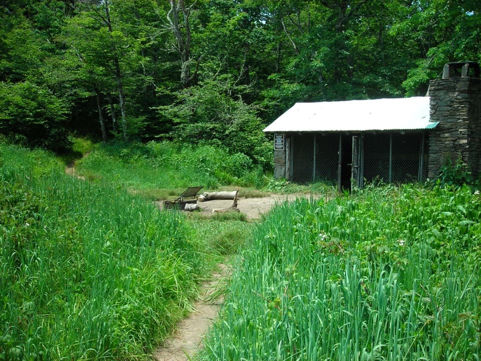 ChallengingSilers Bald Trail9.2 mi · 6 hr · At the trailheadA rocky ridge walk to a clearing with views over Miry Ridge.
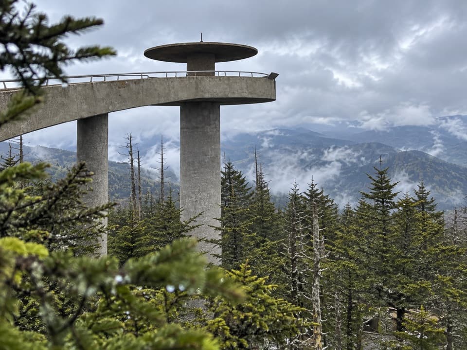 ChallengingMountains-to-Sea Trail: Kuwohi to Waterrock Knob46.8 mi · 23.1 hr · 0.4 mi awayA 46.8-mile backpack from Kuwohi to Waterrock Knob
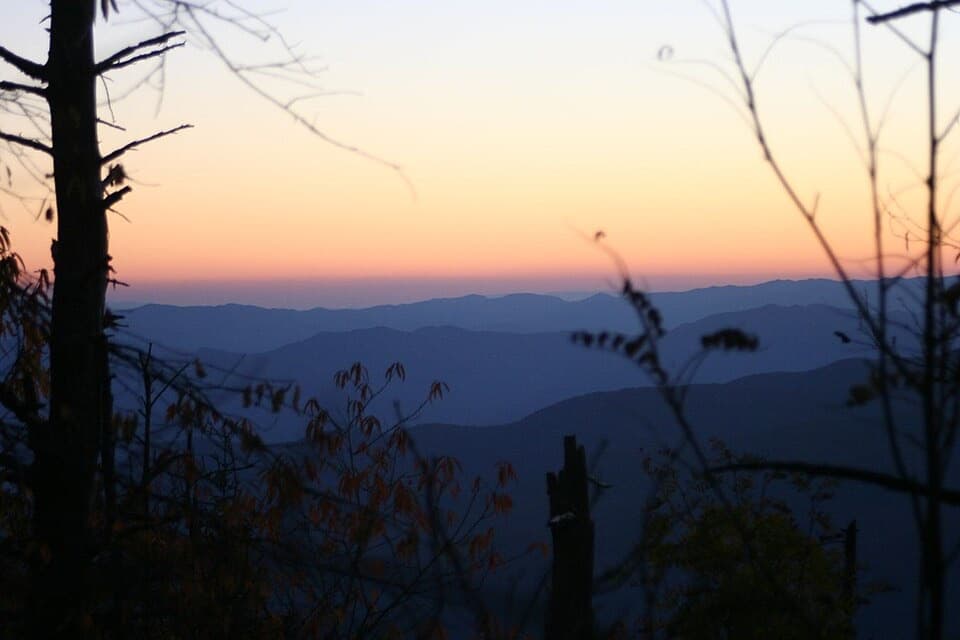 ChallengingForney Creek Trail11.2 mi · 8.5 hr · 0.7 mi awayA long creekside traverse through old logging country.
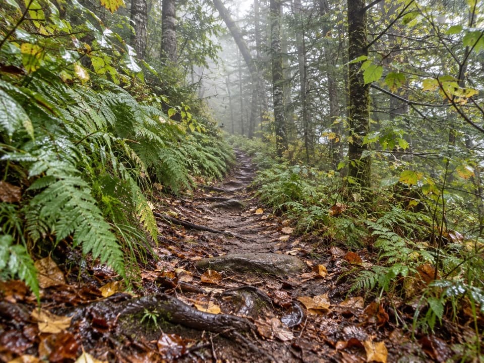 ModerateFork Ridge Trail5 mi · 3.5 hr · 2.8 mi awayA rocky descent from a high ridge into Deep Creek.
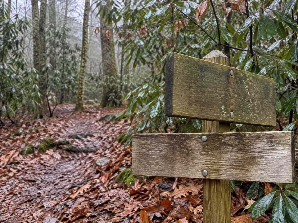 ChallengingPole Road Creek Trail3.2 mi · 2.5 hr · 2.9 mi awayA remote creekside descent with repeated water crossings.
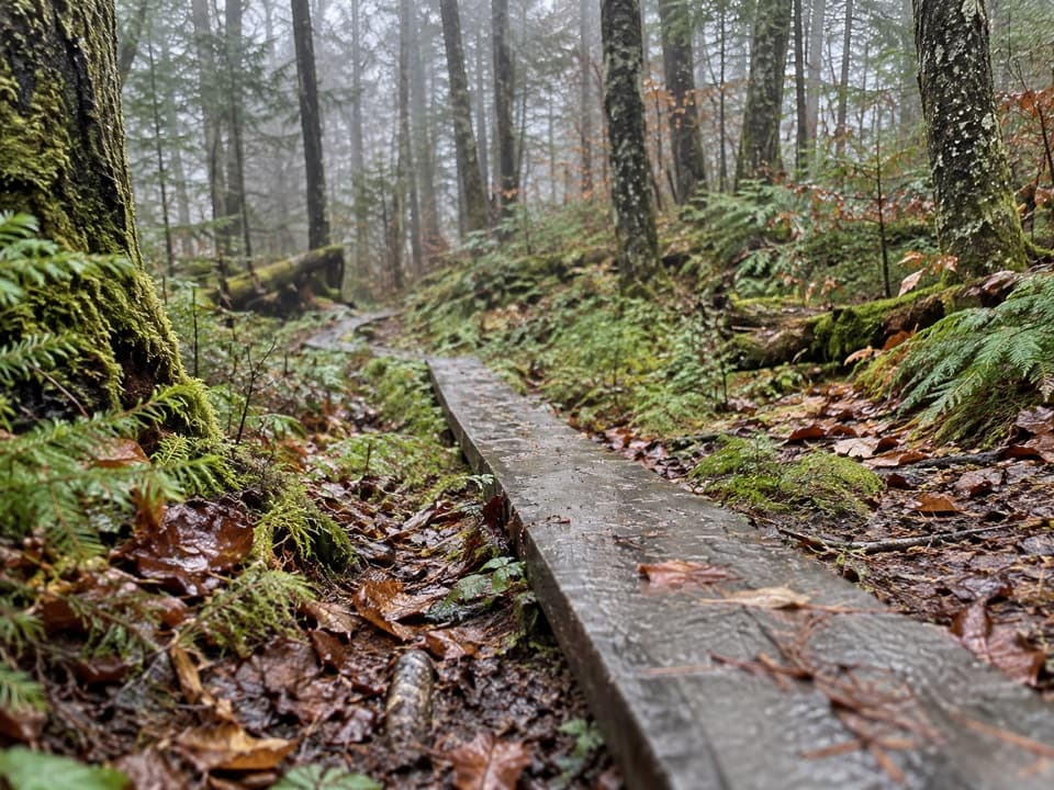 EasySpruce-Fir Nature Trail0.4 mi · 30 min · 3.4 mi awayA short, shaded loop through the Smokies' spruce-fir woods.
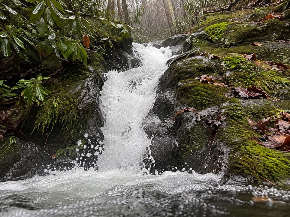 ChallengingRough Creek Trail2.7 mi · 2.3 hr · 4.4 mi awayA steep 2.7-mile connector from creek to mountain trail.
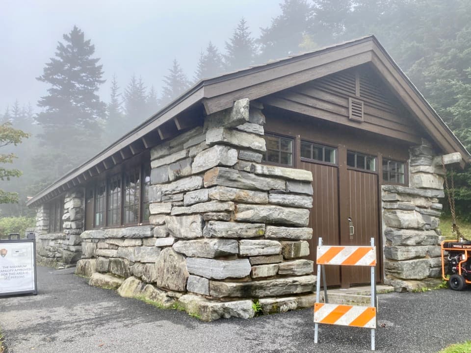 Visitor center · At the trailheadKuwohi Visitor CenterA stone-built visitor stop and small shop before the Kuwohi climb.
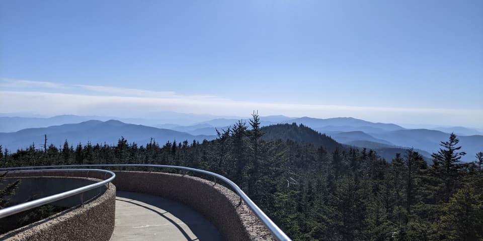 Sight · 0.4 mi awayKuwohi Observation TowerA steep climb to a 360-degree view from the Smokies' roof.
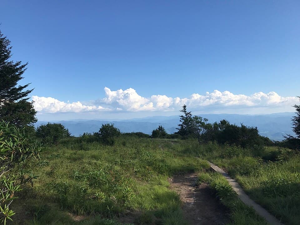 Sight · 1.1 mi awayAndrews BaldAn open mountain meadow with a 3.6-mile hike and a steep return.
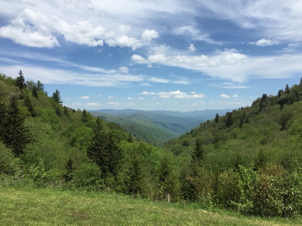 Scenic pullout · 4.9 mi awayLuftee OverlookA quick roadside pause for layered ridges and sunrise.
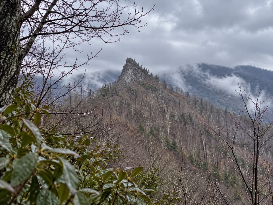 Sight · 4.9 mi awayChimney Tops Trail ViewpointA steep climb to the pinnacle view; the summit itself is closed.
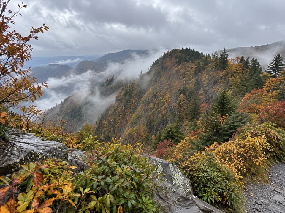 Scenic pullout · 5.1 mi awayDeep Creek Valley OverlookA roadside viewpoint over Deep Creek Valley
 Scenic pullout · 5.4 mi awaySwinging Bridges South OverlookLayered ridgelines from a short roadside pull-off.
 Sight · 5.4 mi awayNewfound Gap OverlookA 5,046-foot pass, a state line, and a historic terrace.
Parkwolf’s Great Smoky Mountains ranking

The audio tour guide for the drive, plus offline maps, trails, and wildlife heatmaps for when the signal drops.





