Andrews Bald in Great Smoky Mountains National Park

Sight · Great Smoky Mountains National Park

Andrews Bald

An open mountain meadow with a 3.6-mile hike and a steep return.

Photo: Wikimedia Commons
Type
Sight
Nearest trail
0.4 mi
Audio stories
2 nearby
  • Trailhead
  • Parking
  • Restrooms
  • Scenic viewpoint
  • #18 of 104 sights

Hear the audio tour

Kuwohi Observation Tower

Overview

About Andrews Bald

Why stop

  • A broad grassy summit opening and layered mountain views.

Heads up

  • The outward descent leaves a strenuous uphill return.

Map

Where it is

Loading the Great Smoky Mountains map
Full map
SightAndrews Bald35.54182, -83.49328
Keep this map with you offline in the Parkwolf app

Plan your stop

Before you go

7 active Great Smoky Mountains alerts

  • ClosureHurricane Helene trail damage and backcountry restrictionsHurricane Helene damage has restricted backcountry trail access; avoid damaged crossings and observe trail-specific limits.Official details
  • CautionBear-related trail, campsite, and road restrictionsBear activity has closed trails, a shelter, and campsites and restricted pedestrian access on Cherokee Orchard Road; stay out of closed areas and follow vehicle-only rules.Official details

See all 7 alerts
A park ranger sits on a dash-mounted phone, talking, as Parkwolf’s Tour Guide plays “Army Cutworm Moths: A Grizzly Bear Buffet” on Grand Loop Road below Dunraven Pass in Yellowstone
Parkwolf Tour GuideThe highest, rockiest slopes around here are a summer buffet for grizzly bears.

Great Smoky Mountains Tour Guide

Your drive to Andrews Bald, narrated.

Parkwolf is a GPS audio tour guide for Great Smoky Mountains National Park. As you drive, it chimes in with what’s ahead: hidden gems, upcoming stops, history, geology, and wildlife, right through your car’s speakers.

See the Great Smoky Mountains audio tour

Recorded for this place

Kuwohi Observation Tower
0:00 / 0:35
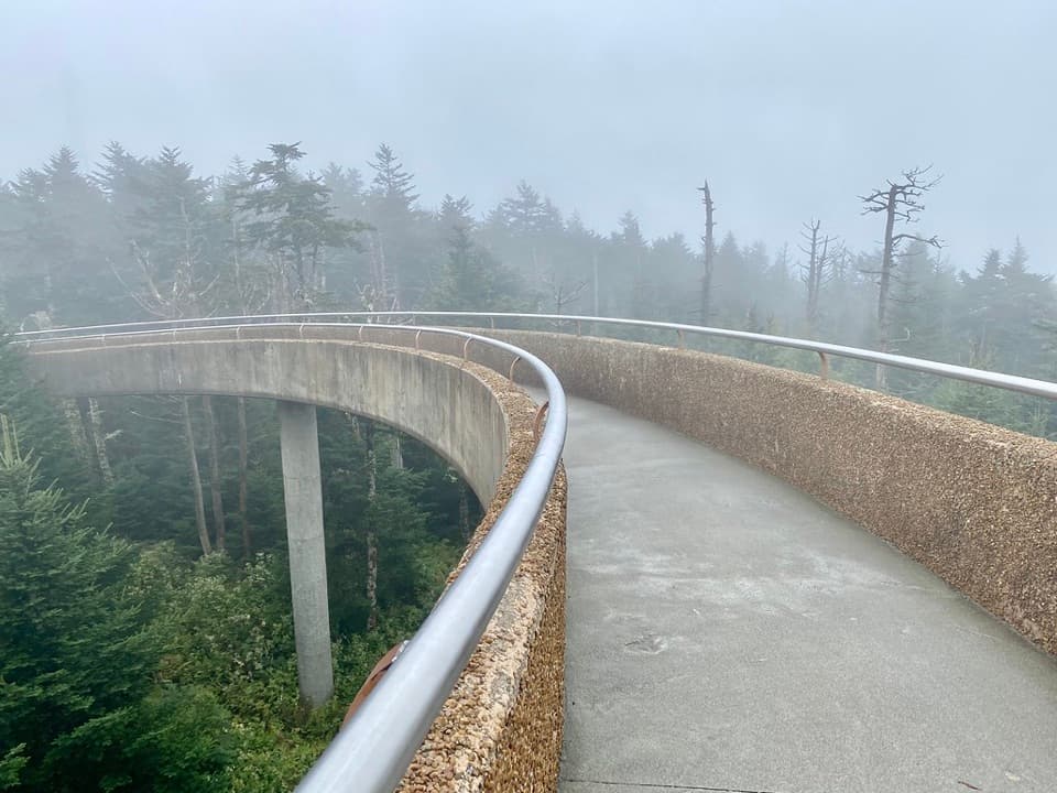
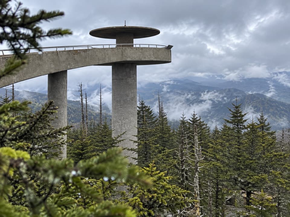
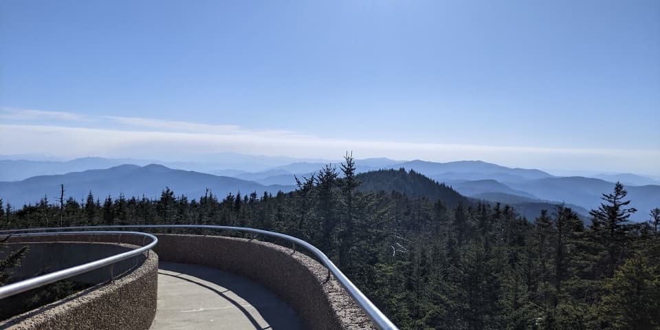
“You're approaching Kuwohi, the highest summit in the Smokies. The observation tower lifts you above the trees for a full circle of mountain ridges, if the clouds allow it.”

Plays as you drive up to Andrews Bald in the Parkwolf Great Smoky Mountains Tour Guide.

More stories near here in the app

  • Cones That Come Apart
  • Kuwohi's Modern Tower
  • Ice Made from Fog
  • Spruce-Fir Nature Trail
  • 200 audio storiesacross Great Smoky Mountains’s roads, triggered by GPS as you drive
  • Wildlife heatmapsfor Black Bear, Elk, Bald Eagle, and 13 more
  • Works offlinemaps, 197 trails, 137 places, and audio download before you lose signal
  • CarPlay readysimple controls built for the drive
★★★★★
“Fantastic app with many points of information… It’s great to just turn on while you’re driving and it gives you an audio tour of the national Park. We love it!!!!”
JMJamesApp Store review
Download Parkwolf on the App StoreGet Parkwolf on Google Play

4.7 from 8,600+ ratings

Guide

More about Andrews Bald

A meadow at the end of the hikeAndrews Bald is a grassy, high-elevation meadow on Forney Ridge, known for its open views…

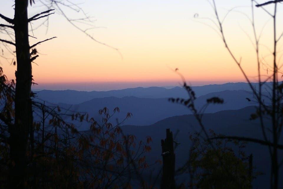
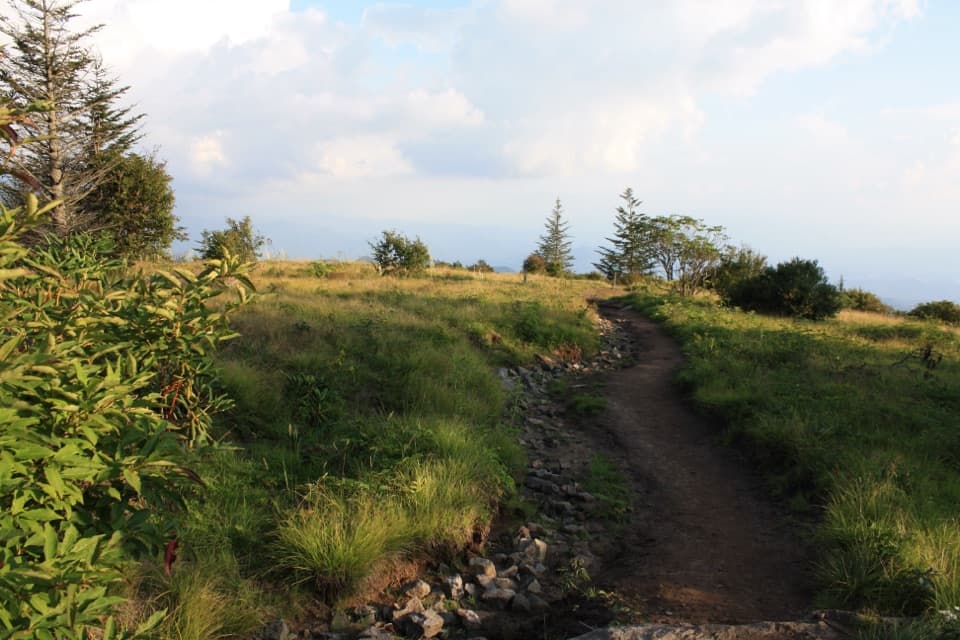
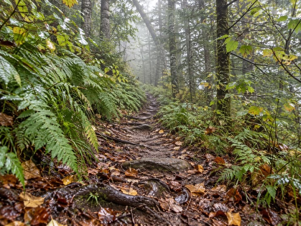
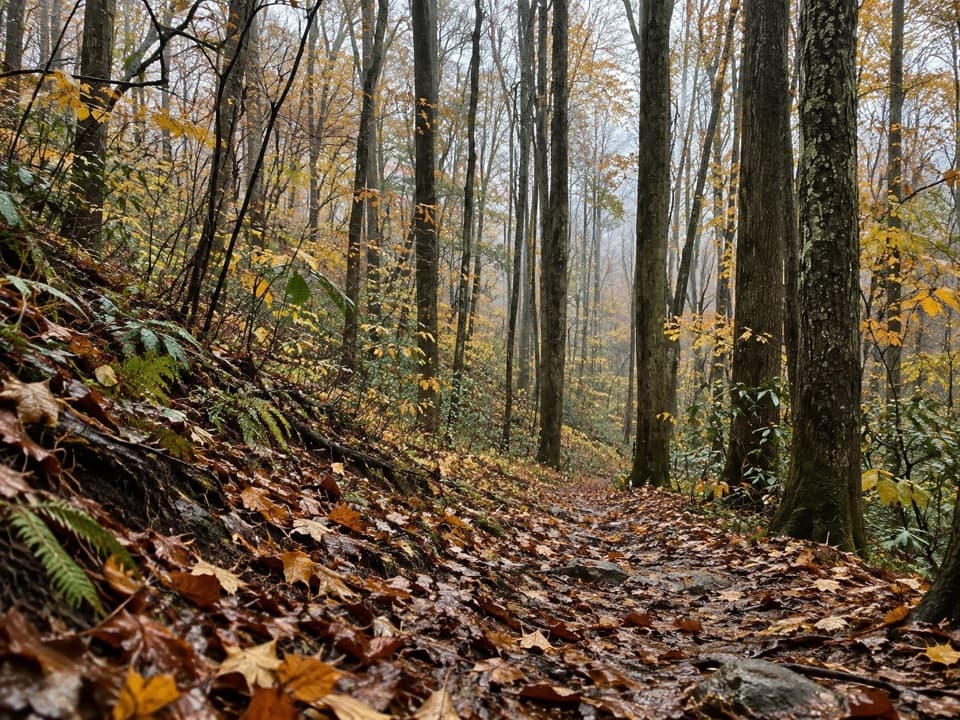
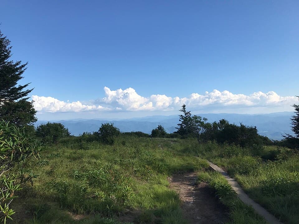
Andrews Bald is a grassy, high-elevation meadow on Forney Ridge, known for its open views across the Smokies. From Kuwohi, it is a 3.6-mile round trip and a good choice if you want a proper mountain walk rather than a quick roadside stop. The trail descends through spruce-fir forest before opening onto the bald, so save energy for the climb back.

The return is the hard halfForney Ridge Trail starts just before the Kuwohi visitor information center.

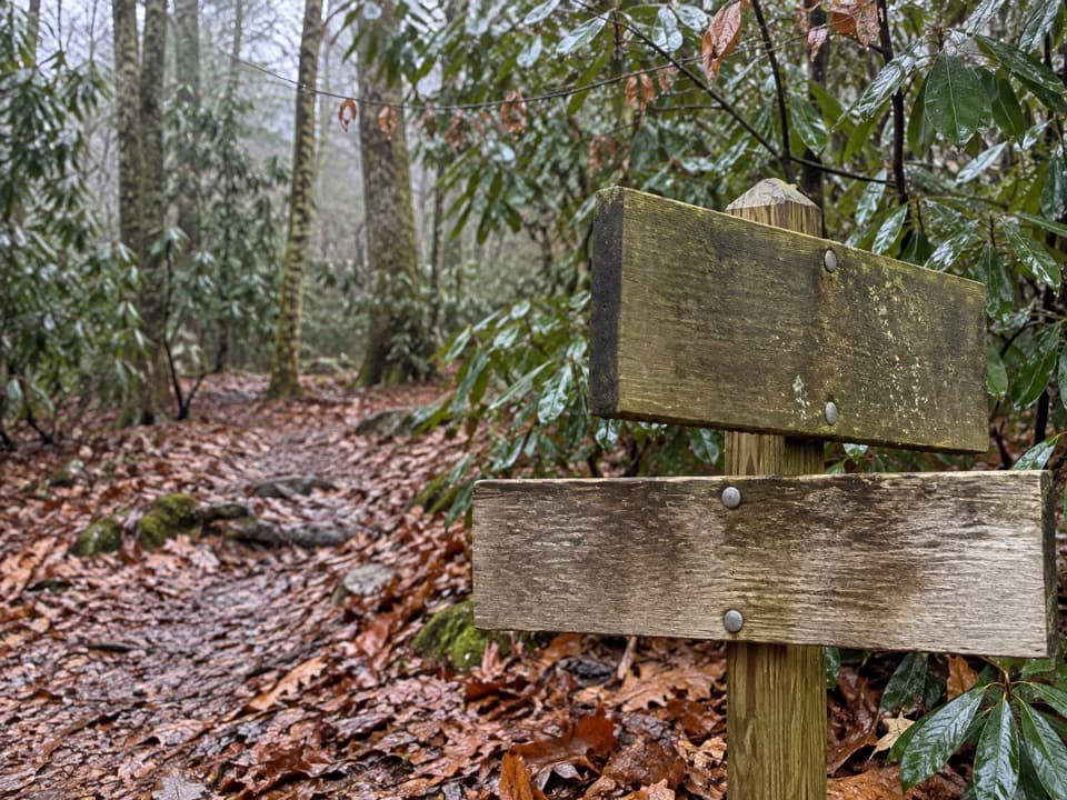
Forney Ridge Trail starts just before the Kuwohi visitor information center. The path begins wide and graveled, drops down many stairs, then narrows to dirt. You lose elevation on the way out, which makes the return a strenuous uphill climb. Kuwohi Road and its parking area close in winter. A Smokies parking tag is required for stays over 15 minutes; seasonal pit toilets are at the Kuwohi lot, not at the meadow. Pets are not allowed on this trail.

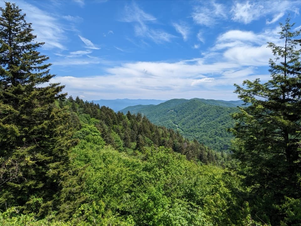
The view and the flowersAt the bald, grasses and shrubs frame long, layered mountain ridges.

At the bald, grasses and shrubs frame long, layered mountain ridges. For a photo, keep some of the trail or meadow in the foreground so the distant ridges have scale. Flowering azaleas are a summer highlight; the open ground and high-elevation setting feel very different from the shaded forest on the approach.

A name from the 1840sThe bald is named for Andrew Thompson, a cattle herder who brought livestock here in the 1840s.

The bald is named for Andrew Thompson, a cattle herder who brought livestock here in the 1840s. It is a small clue to the working history behind a place that now feels wild and open.

Why the bald stays openOne explanation is still a hypothesis: ancient large grazers may have helped keep grassy balds…

One explanation is still a hypothesis: ancient large grazers may have helped keep grassy balds clear of trees and shrubs. Researchers have suggested mastodons or woolly mammoths, followed later by bison, elk, and deer. Treat that as a possible long story of the landscape, not a settled explanation.

Wildlife

Wildlife in Great Smoky Mountains

All Great Smoky Mountains wildlife maps

Sighting maps show where each species has been reported across Great Smoky Mountains. Wildlife moves, so no sighting is guaranteed.

Parkwolf’s Great Smoky Mountains ranking

Top sights in Great Smoky Mountains

All 137 places
  1. 1Kuwohi Observation TowerSight
  2. 2Newfound Gap OverlookSight
  3. 3Cable Mill Historic AreaSight
  4. 4Mountain Farm MuseumSight
  5. 5John Oliver CabinSight
  6. 6Mingus MillSight

Take Parkwolf to Great Smoky Mountains.

The audio tour guide for the drive, plus offline maps, trails, and wildlife heatmaps for when the signal drops.

4.7 from 8,600+ ratings

Download Parkwolf on the App StoreGet Parkwolf on Google Play