
Place · 0 mi away
Moderate
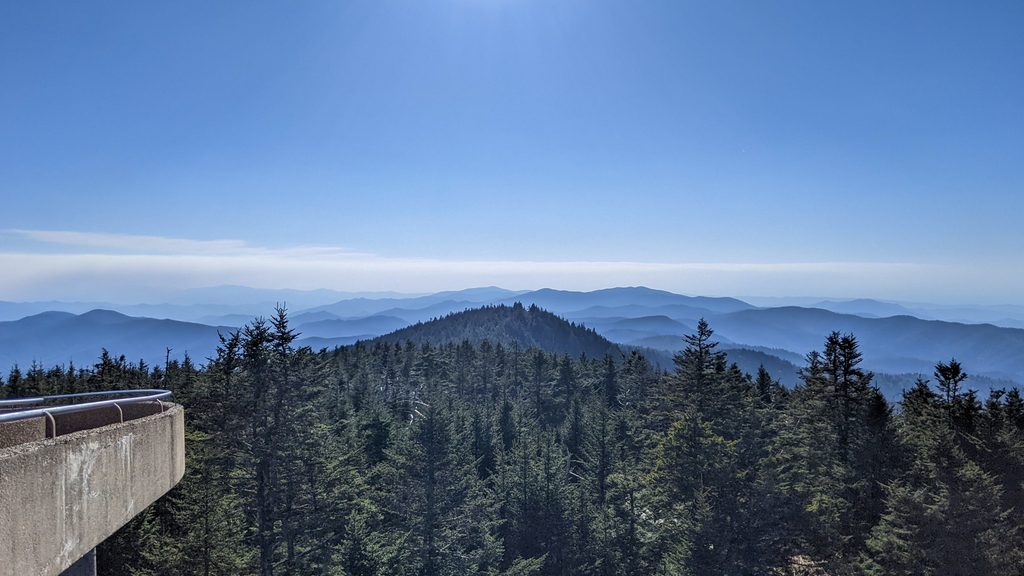
A crowd‑pleasing classic that earns its reputation, the hike to Andrews Bald is a 3.6‑mile round‑trip out‑and‑back with roughly 875 feet of total gain. It starts by heading downhill from the high‑elevation Kuwohi/Clingmans Dome area and climbs back on the return, so save a little gas for the finish. The payoff is a broad, high grassy meadow—the highest bald in the Smokies—often perfect for a picnic and for soaking in views toward Fontana Lake and the southern Smokies. Some hikers feel the vista isn’t dramatically better than what you can see near the parking area; others love the open space, the peace, and the seasonal bloom show.
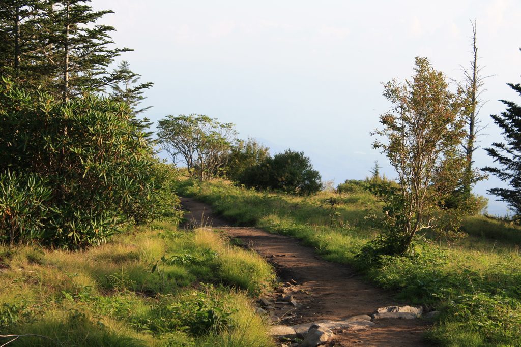
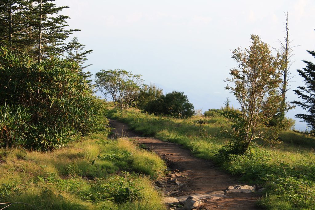
Begin at the Forney Ridge Trailhead at the end of Kuwohi (formerly Clingmans Dome) Road. The path immediately drops through cool, high‑elevation spruce‑fir forest where you’ll notice dead Fraser firs—a legacy of balsam woolly adelgid impacts. Thanks to major Trails Forever upgrades, the route now mixes stonework steps, locust/rock staircases, drainage features, and short boardwalks. It’s far less rough than it used to be, but still expect uneven rock, roots, and occasional mud. Early junctions come quickly: ignore the Clingmans Dome Bypass splitting right near the start and continue on Forney Ridge; farther along, pass the Forney Creek split on the right and head straight for the bald.
Andrews Bald opens into several acres of meadow dotted with rhododendron and flame azalea thickets. On clear days you’ll catch broad views to the south; on others, vegetation height and weather can curb sightlines. Either way, it’s an inviting lunch spot with room to spread out. If curiosity tempts you to continue past the bald, remember the trail drops steeply—what goes down must come back up.
Late spring through early summer is prime. Flame azalea typically peaks in late June to early July, with rhododendron in the same window. Mornings offer cooler temps, softer light, and the best chance to beat crowds; weekends and peak bloom periods are very busy. This high ridge runs cooler and breezier than the valleys, and the trail can be wet or muddy after rain.
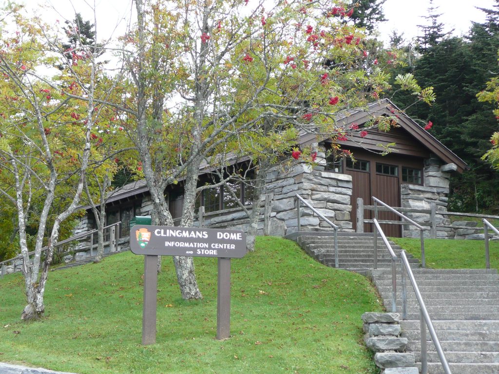
Park at the Forney Ridge Trailhead in the Kuwohi/Clingmans Dome parking area (seasonal pit toilets available). This lot fills early—arrive around sunrise or consider a shuttle. A valid parking tag is required in the park. Note that Kuwohi/Clingmans Dome Road typically closes in winter, which cuts off standard access.
Footing varies: stone steps, dirt, rocks, roots, and a few narrow boardwalks that get slick when wet—sturdy footwear and trekking poles help. Black bears are possible; give them space and never feed wildlife. Families do this hike often, but the uphill return surprises tired legs—budget time and energy. The area also carries a poignant WWII‑era footnote: a B‑29 crashed near the Dome in 1946.
If you want a longer day and arguably the park’s most famous azalea show, Gregory Bald is the heavyweight alternative—but it’s a much bigger outing. For a shorter, family‑friendly taste of a high‑country bald with real mountain atmosphere, Andrews Bald is the better bet.
Park at the Forney Ridge Trailhead in the Kuwohi/Clingmans Dome parking area at the end of Kuwohi Road. Lot fills early—arrive near sunrise or consider a shuttle. Seasonal pit toilets available. A valid GSMNP parking tag is required. Road access typically closes in winter.
Outbound descent means a steady uphill return. Expect rocks, roots, stairs, and slick boardwalks after rain. Black bears are possible—give them space. Kuwohi/Clingmans Dome Road closes in winter, limiting access.
Place · 0 mi away
Place · 0.4 mi away
Place · 0.4 mi away
Place · 1.1 mi away

Challenging · 0 mi away
Easy · 0 mi away
Moderate · 0 mi away
Easy · 0.1 mi away

Parkwolf Tour Guide
